Pix4D does software - what hardware do we support?
We have a large range of software products at Pix4D - suiting multiple industries ranging from agriculture to surveying to construction. Pix4D is data capture hardware agnostic, which means that the software can be used with multiple data capture tools (both drones and cameras).
A question often put to our Support team is which data collection devices are best for use with Pix4D software. Here is a breakdown of how to choose which drones, mobile devices, or cameras to use when processing aerial or terrestrial imagery with Pix4D.
What defines a supported device on Pix4D?
There is an extensive list of supported cameras and drones on the Pix4D Support website. However, if you are new to Pix4D and already have a drone or camera that is not on our supported list, this does not mean it cannot be used.
For example, Pix4D’s flight planning apps PIX4Dscan and PIX4Dcapture do not currently support the DJI Mavic 3. However, images from this drone can still be processed on any of Pix4D’s software. Therefore external image acquisition apps can be used to collect data which can then be processed with Pix4D software.
Which drones are supported?
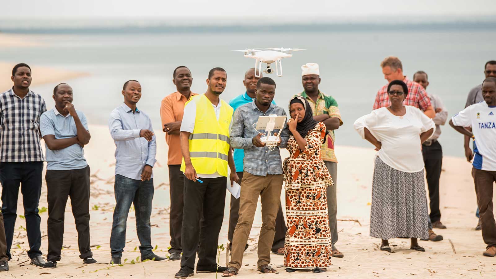
Pix4D is partnered with Parrot drones, so there is an automatic integration with those models including the new 4G Anafi AI, which is specialized for telecom and inspection. However, for users that do not use Parrot drones, there is still a range of supported drones from various brands that can be used with Pix4D software.
With the rise of commercial drones, many DJI drones have become popular and the majority of them are supported on Pix4D software, including the Phantom 4, which has been used in several use cases on the Pix4D blog.
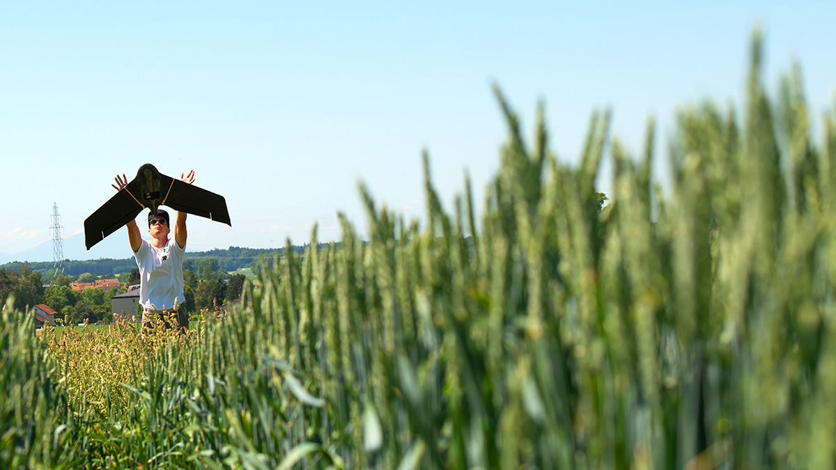
However, for larger-scale projects where a fixed-wing model may be more appropriate, fixed-wing drone brands such as AgEagle (formerly senseFly) or Quantum-Systems may be used. One of the largest ever Pix4D projects to map the Amazon rainforest with drones was completed using the Trinity F90+ and PIX4Dmatic. Vertical Take-off and Landing drones, also known as VTOL, are also compatible - such as those created by Wingtra.
Alternatively, some specialized projects require flights underground. These can be done with drones such as those made by Flyability, which are encompassed in a framed cage that keeps the drone safe in enclosed spaces - such as underground culvert inspections.
There is a full list of supported drones available on the Pix4D Support site in case you want to check if your device is currently supported.
Which cameras are supported?
Not all drones come with cameras! Sometimes, people will custom build a drone to use in photogrammetry, or they’ll work on the ground with handheld cameras (or mobile phones/tablets). Here again, there is an extensive list of compatible devices with Pix4D.
Most cameras in the DJI Zenmuse range are supported, including the Zenmuse H20T (the thermal imagery is only supported on PIX4Dmapper and PIX4Dengine, whilst other products will support the RGB imagery).
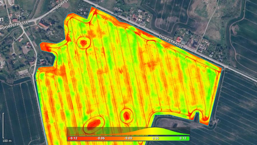
When it comes to multispectral imagery, there are specialized cameras used to capture this for generating vegetation indices or more detailed terrain/vegetation analysis. These include the Sequoia range by Parrot as well as the Sentera 6X, which are compatible with Pix4D software.
Handheld cameras are also included in our compatible devices, with brands such as Nikon, Olympus, and Pioneer on the supported camera list.
To widen the database of usable hardware with Pix4D, several products (PIX4Dfields, PIX4Dcloud, and PIX4Dinspect amongst others) have their own internal camera database but can potentially process images from any RGB camera model with good datasets and the camera’s internal parameters provided.
Understanding the hardware for photogrammetry software
If your camera or drone is not on the supported lists, you can still attempt to process your data on Pix4D software. Alternatively, requests to add a camera or drone model can be made to our Support team.
There are specifications on compatible hardware according to which Pix4D software you use. When working with PIX4Dmapper, there is support available on how to calibrate a perspective or fisheye lens camera. For PIX4Dcloud, PIX4Dengine, and PIX4Dinspect, it is possible to compute the optimal internal camera parameters with a good quality dataset (including enough images). The factors relating to this are included on the Pix4D Support site.
The hardware behind photogrammetry can seem part of the overall daunting science of measuring with images, so it is always good to go back to the basics of photogrammetry and refresh your memory. The range of applications for photogrammetry across industries makes it a varied and adaptable tool, ready for deployment around the world.
Once data has been collected, the next step is to process the imagery and geolocation data. This leads us to another set of supported hardware - computer processing hardware. Luckily, our Support team has a dedicated article on selecting processing hardware for Pix4D software.
For interesting applications of photogrammetry, sign up to our newsletter or check out our blog. Alternatively, you can enhance your photogrammetry knowledge and discover the technicalities of Pix4D photogrammetry software and hardware on the Support website.