

Webinars and ebooks
The ins and outs of drone and terrestrial mapping
Browse our collection of resources
Read an ebook, watch a webinar recording or keep an eye out for our next one!
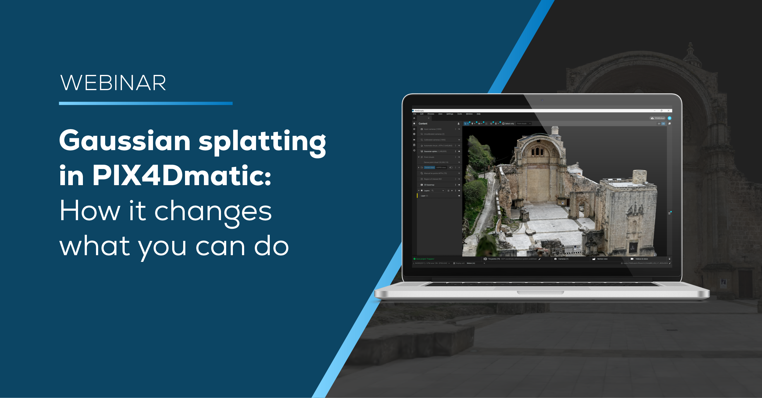
Gaussian splatting in PIX4Dmatic: How it changes what you can do
Gaussian splatting is setting a new standard for 3D reconstruction, and with its introduction in PIX4Dmatic, it brings higher-quality results into a controlled desktop workflow.
Date Aired: June 2026

Technical advancements in surveying: precision and productivity.
Explore the latest technical advancements in aerial surveying with Pix4D, Phase One, and Quantum Systems. In this webinar, we’ll showcase two real-world scenarios that demonstrate how survey-grade accuracy can be achieved alongside streamlined, efficient workflows
Date Aired: February 2025

Pix4D in Canada: Drone and Terrestrial Survey applications with photogrammetry
At PIX4D’s first webinar in Canada, we explore the 12+ year history of PIX4D’s drone and terrestrial survey applications with photogrammetry. Showcasing PIX4D’s evolution over the years, from one product to a complete portfolio of cloud, desktop and mobile, we will cover the solutions for geospatial and AEC.
Date Aired: June 2023

Pix4D in India: Meet our team and products
We explore how LiDAR and photogrammetry are brought together with Pix4D products PIX4Dmatic and PIX4Dsurvey, as well as showcase the applications and uses of terrestrial scanning with mobile phones and the viDoc RTK rover.
Date Aired: September 2022

Twice the power: combining photogrammetry and LiDAR for aerial and terrestrial mapping
Join us for a discussion on why combining aerial and terrestrial data for mapping is the ideal solution for the creation of comprehensive, accurate 3D models.
Date Aired: September 2022
The challenges of surveying large areas
Pix4D and SenseFly will explore the challenges of capturing and processing large datasets and how to optimize your workflows.
Date Aired: Avril 2021
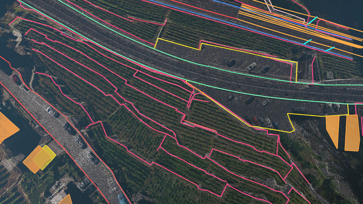
Bridge the gap between photogrammetry and CAD
Optimize your surveying and mapping workflows and create engineering-ready CAD files from photogrammetry projects using PIX4Dsurvey.
Date Aired: May 2020
If you have suggestions on webinar topics you would like to see, we’re all ears! Send us an email, we would love to hear from you!