
FREE WEBINAR
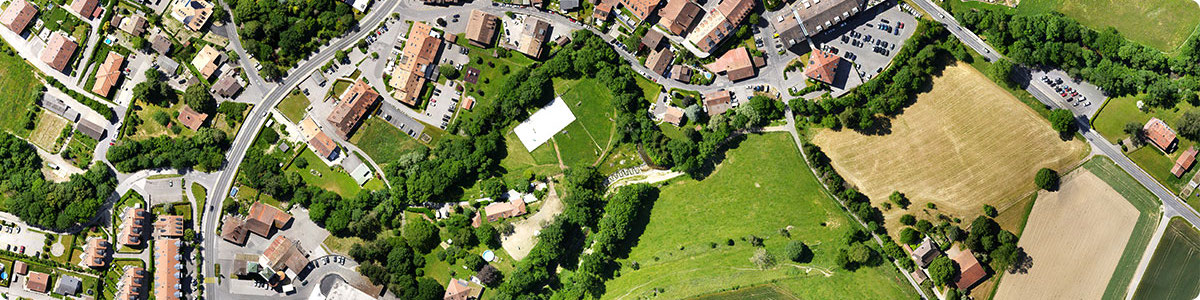
The challenges of surveying large areas
About the webinar
Handling projects with thousands of images presents its own issues - from the data acquisition, to the long processing times, to importing your photogrammetry outputs into a third-party software.
Join us and senseFly to have an in-depth look into the main difficulties of capturing and processing large datasets (over 10,000 images) and how it is possible to optimize these challenging surveying and mapping project workflows.
With real-world case studies and actionable tips, this webinar covers the practicalities of gathering and managing large volumes of data, and how the latest Pix4D software can be used to get the relevant information your team needs.
Key topics
- Best practices for big datasets acquisition
- Photogrammetry for corridor and large scale projects: processing your data into accurate point clouds, digital surface models (DSM) and orthomosaics
- Creation of engineering-ready CAD files from photogrammetry projects
- Different use cases
- Your questions in our Q&A session
If this form does not display correctly, please ensure that JavaScript is enabled in your browser settings and clean your browser\'s cookies. You can do this by navigating to your browser\'s settings, then proceed to reload the page.
Thank you!
Panelists

Nate
Moore
Senior Product Manager
PIX4Dsurvey

Pierangelo Rothenbühler
Software Team Manager
PIX4Dmatic


Ryan
Sweeney
Channel Sales Manager
Pix4D