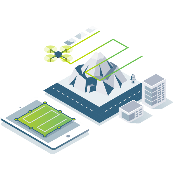
HERO Product Mapper 2021
photogrammetry software

PIX4Dmapper

The leading photogrammetry software for professional drone mapping

BACKGROUND Pix4Dmapper workflow
  • capture digital images
    Capture
  • workflow for digitization using photogrammetry
    Digitize
  • quality control in photogrammetry
    Control
  • photogrammetric measurement
    Measure & inspect
  • share photogrammetric data and collaborate
    Collaborate & share
photogrammetric workflow data acquisition with aerial images
Capture

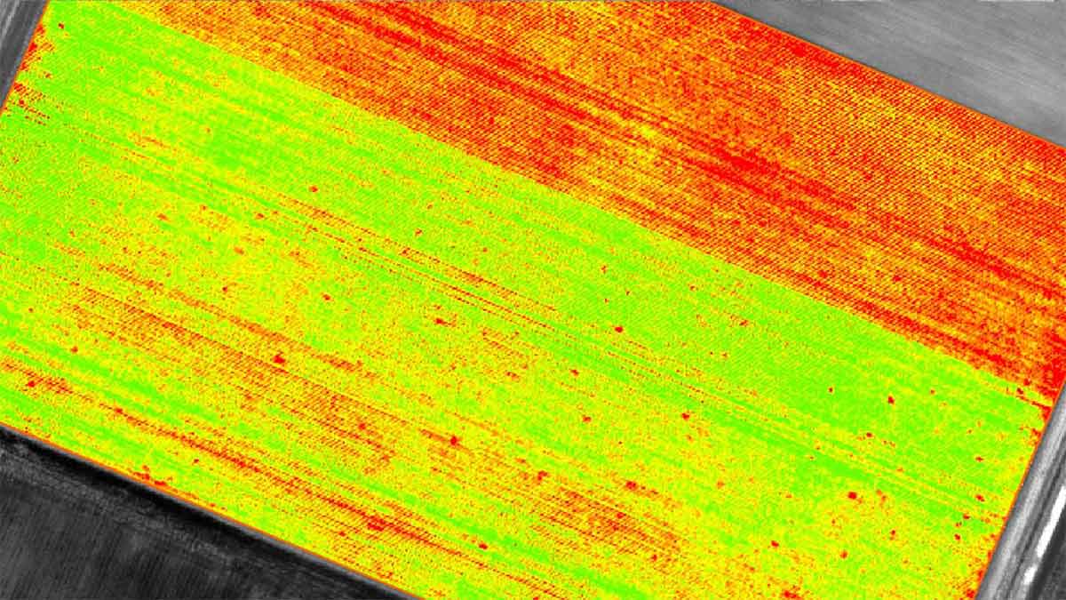
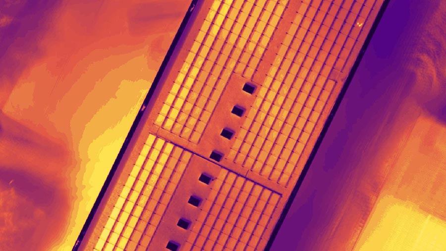
Capture RGB, thermal, or multispectral images with any camera or drone and import them to PIX4Dmapper.
photogrammetric digitizing
Digitize

PIX4Dmapper's photogrammetry algorithms transform your ground or aerial images in digital maps and 3D models.

Seamlessly process your projects on your desktop using our photogrammetry software, or bundle with PIX4Dcloud for online processing.
Quality results with drone maps and photogrammetry
Control

Use the power of photogrammetry in the rayCloud environment to assess, control and improve the quality of your projects.

Use the quality report to examine a preview of the generated results, calibration details, and many more project quality indicators.
Generate 3 models and measure areas, distances and volumes using photogrammetry
Measure & inspect

Accurately measure distances, areas, and volumes.
share data and results between any device
Collaborate & share

Streamline project communication and teamwork.
Selectively and securely share project data and insights, with your team, clients, and suppliers, using standard file formats.
BACKGROUND generic

Photogrammetry solution to power applications across industries

Advanced data processing for precise results

aerial photogrammetry surveying and analysis
Survey-grade results
Obtain results with sub-centimetre accuracy thanks to photogrammetric analysis. 1-2 pixel GSD in X, Y directions 1-3 pixels GSD in the Z direction
full control of photogrammetry project
Complete control over your project
Define an area of interest, select processing options, add ground control points or edit point clouds, DSMs, meshes, and orthomosaics.
photogrammetry workflow
Your workflow, your choice
Use default templates for automatic processing of your projects, or create your own with custom settings for full control over the data and quality.
photogrammetry software on a screen
rayCloudtm

The power of photogrammetry software

A unique environment connecting your original images to each point of the 3D reconstruction to visually verify and improve the accuracy of your project.

The end-to-end photogrammetry tool for every project

Accurate 3D maps and models, purely from images
classified point output from photogrammetry software
Automatic point cloud classification
Distinguish objects with machine learning classification processes.
Accurate 3D maps and models, purely from images
  • automatic point cloud classification
    Automatic point cloud classification
  • edit digital surfaces
    Flatten & smoothen digital surfaces
  • Measure in 3D with Pix4Dmapper
    Easily measure surface, distance & volume
  • accuracy of photogrammetry project
    Control over the project accuracy
  • quality report of photogrammetry project
    Detailed quality report
Pix4Dmatic

Looking at processing over a thousand images?

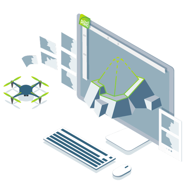
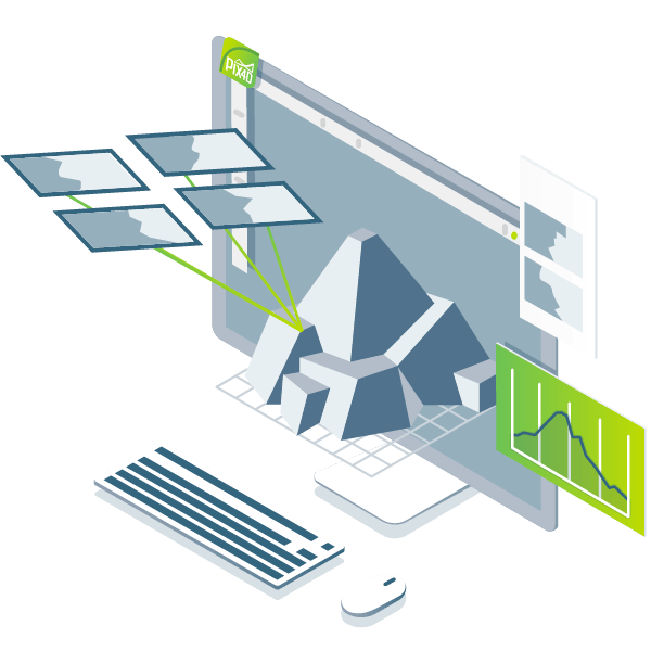
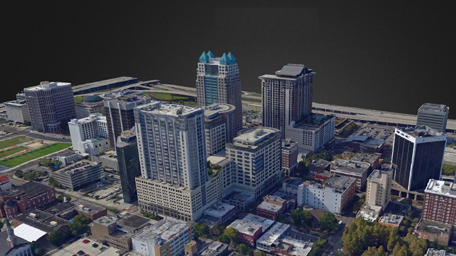
PIX4Dmatic, the next-generation photogrammetry software, is designed to work with the latest generation of drones and transform your large number of images into accurate point clouds, DSMs and orthomosaics over 40% faster than ever before.


Discover and try for free

Photos first

Any camera. Any drone. Any imagery. As long as it's a .jpg or a .tif.

BACKGROUND homepage 3D mesh 2

Generate high resolution outputs for any project and use case

Easily export your digital maps and models to industry-compatible formats for further analysis or reporting

color point cloud output
Full-color point cloud
.las, .laz, .ply, .xyz
orthomosaic map
Orthomosaic
GeoTiff (.tif), .kml
Digital surface model (DSM)
GeoTiff (.tif), .xyz, .las, .laz
3D textured mesh
3D textured mesh
.ply, .fbx, .dxf, .obj, .pdf
Index map
Index map
GeoTiff (.tif), .shp
thermal map
Thermal maps
GeoTiff (.tif)
See all outputs

Latest news about photogrammetry and drone mapping

Ground control point (GCP)

Ground control points: What are they and why are they important?

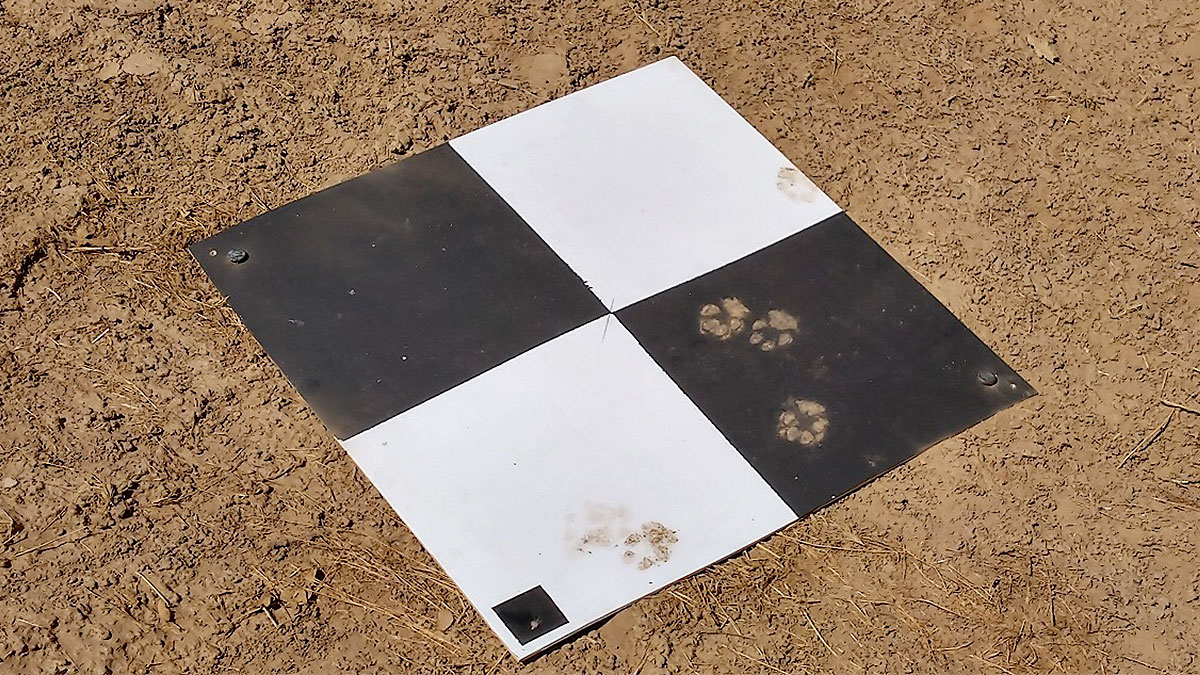
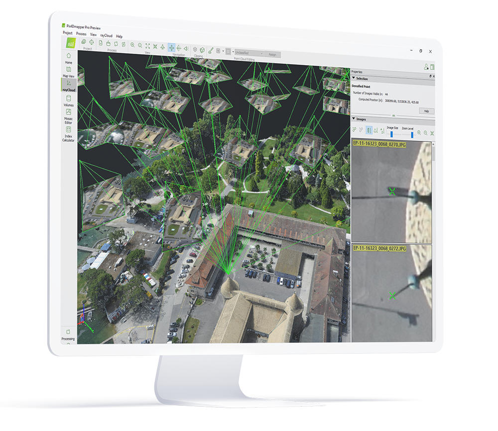
We discuss what are the ground control points (GCPs), how many are needed for an accurate aerial map, how they affect accuracy and why they look the way they do.


Read more >
view of the reforestation projects

Fighting the climate crisis with drones in rural areas

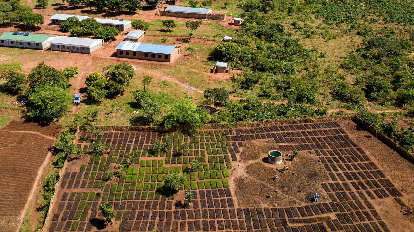
Wells for Zoe is using PIX4Dmapper to map reforestation projects in Malawi as they replant trees and support the local community with freshwater wells. Find out how!

Read more >
asphalt stockpiles

Keeping track of stockpiles with drone mapping

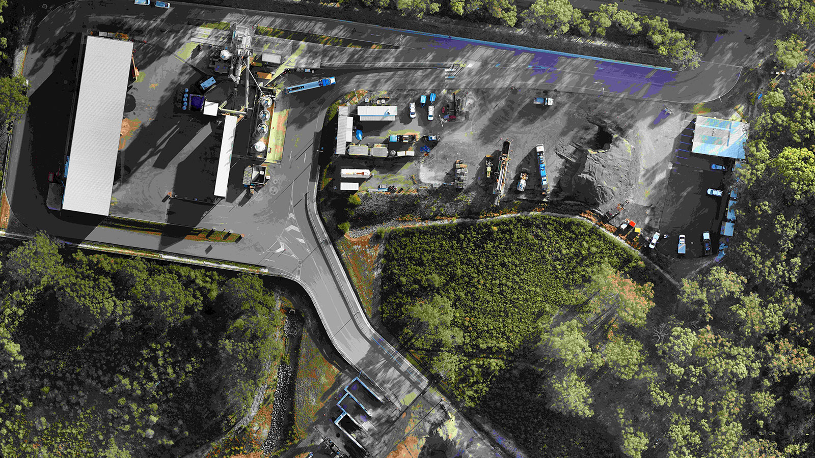
Learn how PIX4Dmapper helps construction companies improve their operational workflows - whether that’s measuring stockpile deposits and withdrawals, or modeling a site itself.

Read more >
Read more Pix4Dmapper use cases
Get PIX4Dmapper today

Looking for more flexibility and customization for your drone operations?
Learn more about our enterprise solutions