HERO Pix4Dcapture 2021
Best free drone flight planning app for mobile

PIX4Dcapture

Free drone flight planning app for optimal 3D mapping and modeling

Drone controller app for ios
Free drone app for android.

Important note: Pix4D software works with images collected by any image acquisition or flight planning app.
BACKGROUND homepage 3D mesh 3 fade

Plan and control drone flights using only your mobile phone

Use any camera to capture images even if you are offline
Flexible
Fly multicopter DJI and Parrot drones. Trigger RGB, multispectral and thermal sensors.

Plan and fly your missions online or offline.
Capture precise images by changing angle, overlap and flight speed
Precise
Define the altitude in relation to the GSD you need.

Set camera angle, image overlap and flight speed.
Automatic upload images to Pix4D mapping software at the cloud
Automatic
Upload images directly from the device to Pix4D software in the cloud for processing.

Simple mission planning for professional aerial mapping

Select your drone

PIX4Dcapture supports drones from DJI, Parrot, and Yuneec, three of the biggest drone manufacturers on the market.

Parrot’s Bluegrass and Disco-Pro AG agriculture tailored drones are exclusively supported by PIX4Dcapture.

Select your drone from the application

Select a mission

Different missions for different needs. The PIX4Dcapture app comes with five different missions providing you the flexibility you need for your projects.

Select your drone mission from the menu

Adjust your drone flight plan and parameters

Easily define the size of a mission to map areas of all sizes. Customize mapping parameters like the image overlap, camera angle and flight altitude according to your needs.

Customize drone flight parameters

Start and fly

Start the mission and monitor it live using the mapview and camera view.

Mapview provides the live telemetry and includes information such as flight altitude and flight speed. Or choose to watch the live feed with the camera view.

Monitor the drone flight path live with the mapview or camera view

Check the results

Avoid inconvenient rework by reviewing your mission while still onsite. Check your images directly in the PIX4Dcapture app.

Check results directly in the app while still on site

Automatic upload

Easily upload your images to PIX4Dcloud solutions to create 2D or 3D maps and models for all industries: construction, agriculture, public safety and more.

Automatic upload images to cloud

Plan your drone flight

Plan your drone flight mission in a polygon with Pix4Dcapture mobile mapping app

Polygon

Plan your drone flight path in a grid with Pix4Dcapture drone mapping app

Grid

Plan your drone flight path in a double grid with Pix4Dcapture drone mapping app

Double grid

Plan a circular drone flight with the free Pix4Dcapture app

Circular

Feel free to control the flight of your drone with Pix4Dcapture drone fligh planning app

Free flight

Use multiple batteries during your drone flight without restrictions with the free Pix4Dcapture mobile app

Multi-battery

Which type of drone mission should I choose?

Supported drones

If you can't find your drone here, you can use any flight planning app to upload your images to Pix4D software.

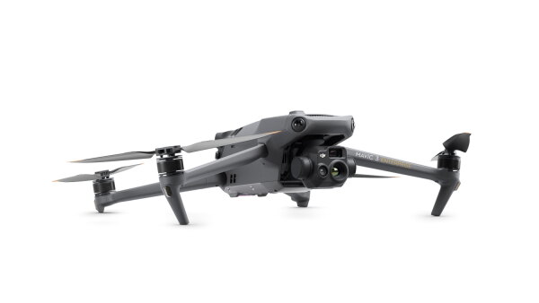
 DJI drone flight planner
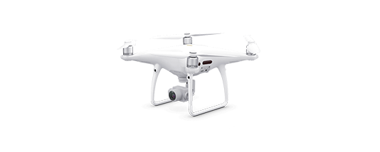
 DJI PHANTOM 4 pro V2 drone
DJI Phantom 4 Pro V2
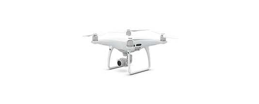
DJI PHANTOM 4 pro
DJI Phantom 4 Pro
 DJI PHANTOM 4 drone
DJI Phantom 4
DJI PHANTOM 3 pro
DJI Phantom 3 Pro
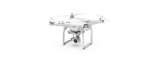
DJI PHANTOM 3 advanced drone
DJI Phantom 3 Adv
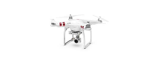
DJI PHANTOM 3 drone
DJI Phantom 3 Standard
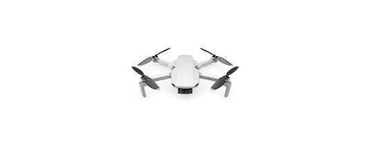
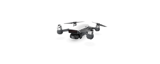
DJI Spark
DJI Spark
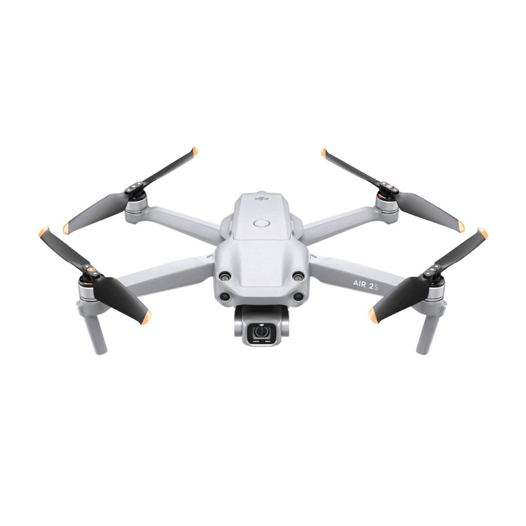
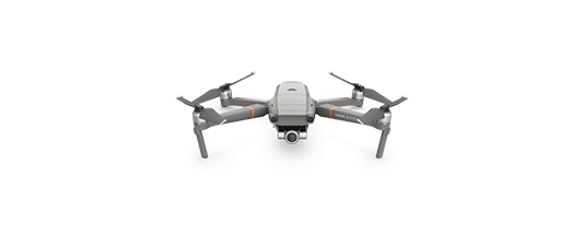
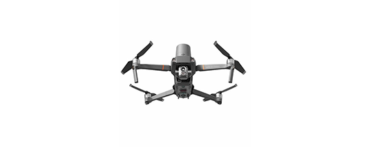
DJI Mavic 2 Pro
DJI Mavic 2 Pro
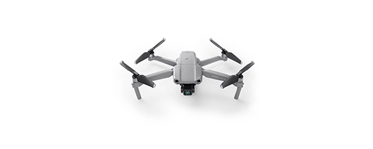
DJI Mavic Air
DJI Mavic Air
DJI Mavic Pro
DJI Mavic Pro
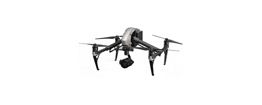
DJI Inspire 2
DJI Inspire 2
DJI Inspire 1
DJI Inspire 1
DJI Matrice 100
DJI Matrice 100
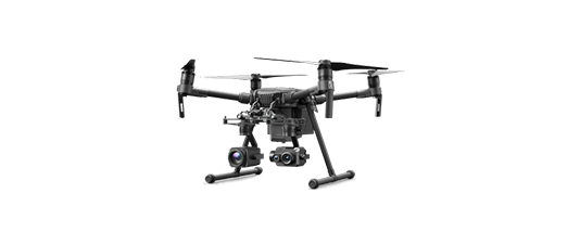
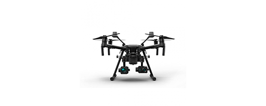
DJI Matrice 200
DJI Matrice 200
DJI Matrice 210
DJI Matrice 210
DJI Matrice 210 RTK
DJI Matrice 210 RTK
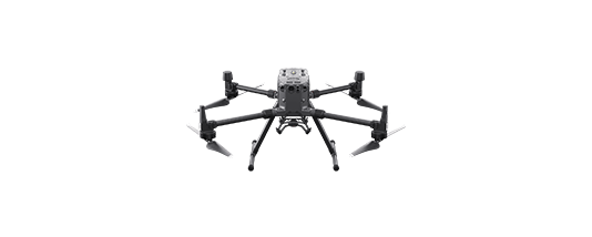
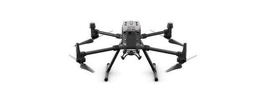
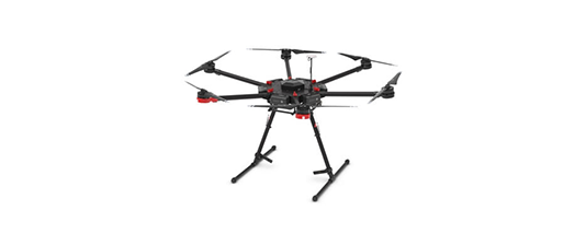
DJI Matrice 600
DJI Matrice 600
Parrot drone flight plan software
Parrot bebop 2 flight plan app
Parrot Bebop 2
Parrot anafi flight plan app for drone mapping
Parrot Anafi
Parrot anafi thermal flight plan app
Parrot Anafi Thermal
Parrot Disco Pro AG mapping bundle
Parrot Disco Pro AG
Bluegrass drone works best for aerial thermal mapping using Pix4Dcapture mobile app and Parrot Sequoia+ camera
Parrot Bluegrass
Yuneec drones supported by Pix4Dcapture mobile app for drone mapping and photogrammetry
Yuneec H520
Yuneec H520

Can't find your drone? You can still process your data with Pix4D products even if your drone is not supported by PIX4Dcapture for flight planning.

pix4dscan

Looking for a professional drone flight app for assets' visual inspection?


Discover Pix4Dscan

Unleashing the potential of drones

burned trees and cars after Australian bushfires

Cleaning up after the Australian wildfires

Fire and Rescue NSW were there to fight the fires. Now they’re using drone technology and Pix4Dcapture to speed up the recovery process.


Read more >
automating a drone flight

How to prepare for a successful drone flight

To get the best possible results, a little preparation is needed! We've rounded up some information on how to plan a smooth drone mission.


Read more >
aerial map of Afghanistan mountains

The future of landmine clearance

Each year 20,000 people are killed or maimed by landmines. Learn how thermal mapping can make landmine removal easier and faster.


Read more >
Read more PIX4Dcapture use cases
Free drone flight app for mapping and modeling

Plan and control your drone flights

Download Pix4Dcapture mobile app for free today

Download free drone flight app for androidDownload free drone flight app for ios