HERO Public Safety and Forensics

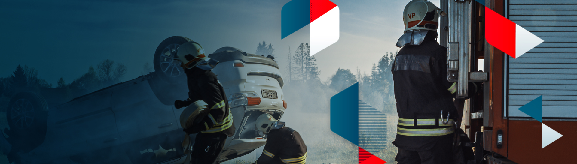
Forensics and Public safety

Elevating critical analysis:
Fast, secure and accurate 3D solutions for critical missions

Contact us
LOGO Politie LOGO Kentucky state policeLOGO Essex PoliceLOGO Visual LawLOGO  Michigan State PoliceLOGO Global Medic

Applications

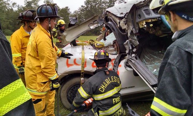
Fast and accurate when every second counts
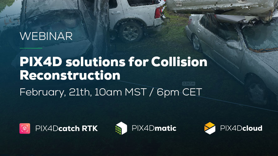
Terrestrial scene reconstruction

Drone and terrestrial
solutions for Forensics

Benefits

  • Create true-to-fact 3D models for legal investigations
  • Merge drone and phone data for enhanced scene analysis
  • Annotate and measure directly within the model
  • Export in industry-standard formats and easily integrate into 3rd party software (Virtual Crash, PC Crash, Map360, Faro Zone 3D)
  • Ensure data security with offline licensing
  • Deliver court-ready videos of your scenes
  • Utilize our RTK solution for precise terrestrial data
  • Rapidly gather on-site data with mobile scanning
  • Ensure thorough data capture with live 3D viewer
PIX4DmaticPIX4Dcatch

Emergency response

Incident Management

Benefits

  • Fast 2D mapping for firefighting, disaster response, or search and rescue.
  • Fast deployment and processing means results in-field.
  • Shareable via GeoTIFF or an online cloud link.
PIX4Dreact

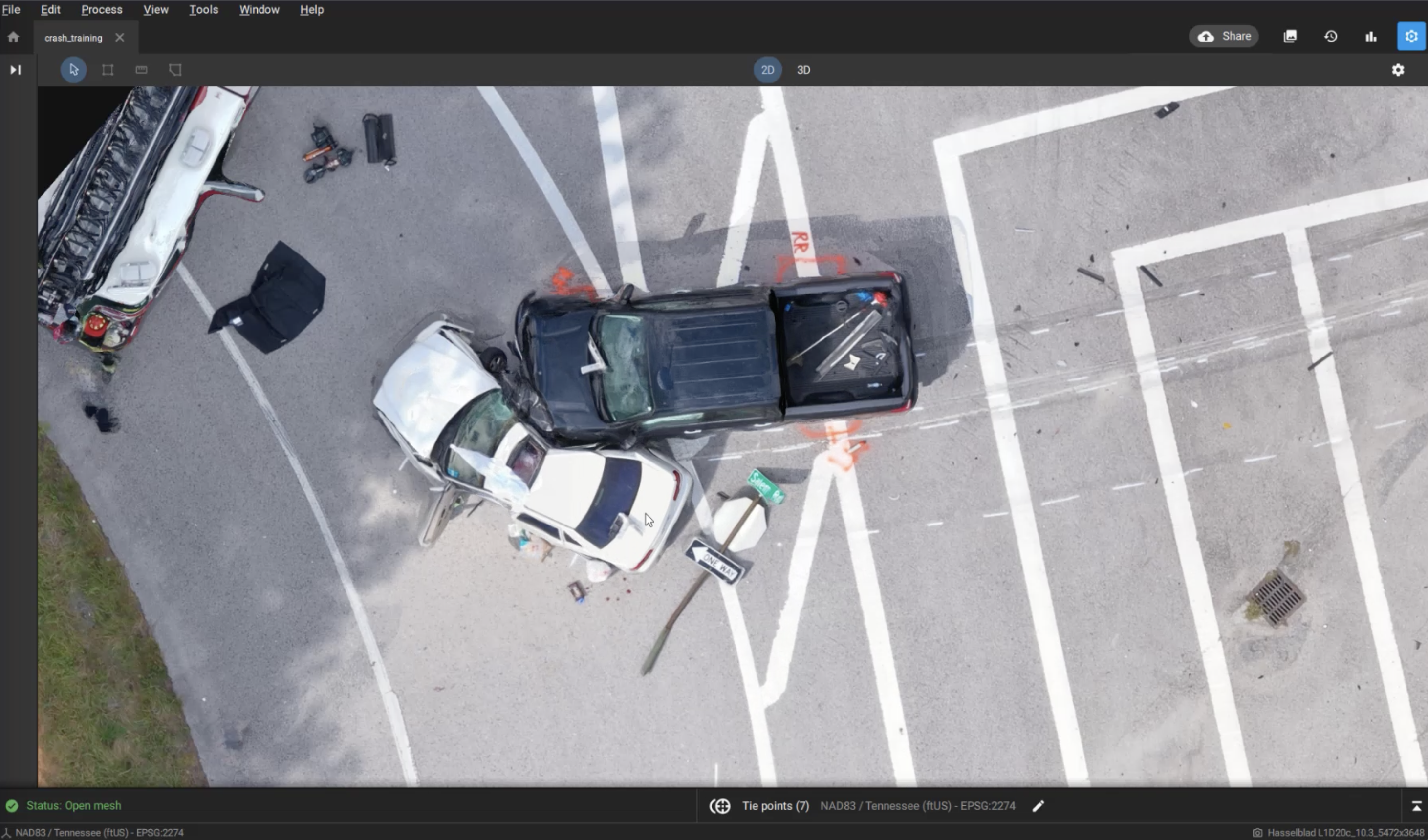
Explore Pix4D’s solutions for Collision Reconstruction and Forensics

Join our webinar on February 21st. Explore capturing scenes using your phone and drone with subject matter experts. Learn how to process, merge, and utilize data, export videos for sharing in court.


Register now
Background Public safety

Who can benefit and how?

First responders*

Situational awareness and fast emergency response when every second counts

*First responders, Police officers, Firefighters, Search & rescue

Investigators and forensic experts*

Get detailed scene documentation and court-ready results

*Investigators, Forensic experts, Collision Reconstruction Teams, and Insurance agents

Disaster management
agencies*

Prepare, plan and react to emergencies and natural disasters

*NGOs, Emergency & Disaster management agencies, Civil Protection, Response Forces, Disaster preparedness & recovery

Dots background

Why use photogrammetry in Forensics and Public Safety?

Card Image

Fast
documentation

Speed up scene documentation and tactical reconnaissance operations. Drone mapping takes a fraction of the time of traditional scene documentation or terrain recognition methods.

Card Image

Revisit the scene in 3D

Investigators, forensic experts, insurance agents and jury members can revisit the scene at any time and from any location. Digitally record and access the full scene in detail. Secure local offline processing and online sharing.

Card Image

Reliable
evidence

Create accurate recreations of a scene that can be used in court. Use centimeter-accurate 3D models to show the scene in court or during investigations.

Use cases about Forensics and Public Safety

Mapping a crime: Visual Law talk forensic photogrammetry

Mapping a crime: Visual Law talk forensic photogrammetry

Mark Johnson and his company Visual Law use photogrammetry to recreate crime scenes and incidents for legal investigation in extreme detail.

Investigating crashes 4 times faster with viDoc & PIX4Dmatic

Investigating crashes 4 times faster with PIX4Dcatch RTK & PIX4Dmatic

Using drones and the PIX4Dcatch RTK, one professional is reconstructing accidents in 3D with sub-centimeter accuracy. This is how it works.

Interview: how a firefighter is using drones in US cities

Interview: how a firefighter is using drones in US cities

Our interview with career firefighter John Wakie talks about the challenges of drones, working with them, and success with aerial mapping.

Blue background

Pix4D’s products for Forensics and Public Safety

Leading Photogrammetry software professional drone mapping
Pix4Dmapper logo

The leading photogrammetry software for professional drone mapping

Learn more
Photogrammetry software professional drone terrestrial mapping
Pix4Dmatic logo

Next generation photogrammetry software for professional drone and terrestrial mapping

Learn more
3D scanning with RTK and Photogrammetry
viDoc logo

Elevate 3D scanning with the power of RTK and photogrammetry

Learn more
Photogrammetry software professional drone terrestrial mapping
Pix4Dreact logo

2D fast-mapping for emergency response.

Learn more