

Webinaires et livres électroniques
Tout sur la cartographie par drone et terrestre
Parcourez notre collection de ressources en français
Decouvrez plus de contenu ici, en anglais.
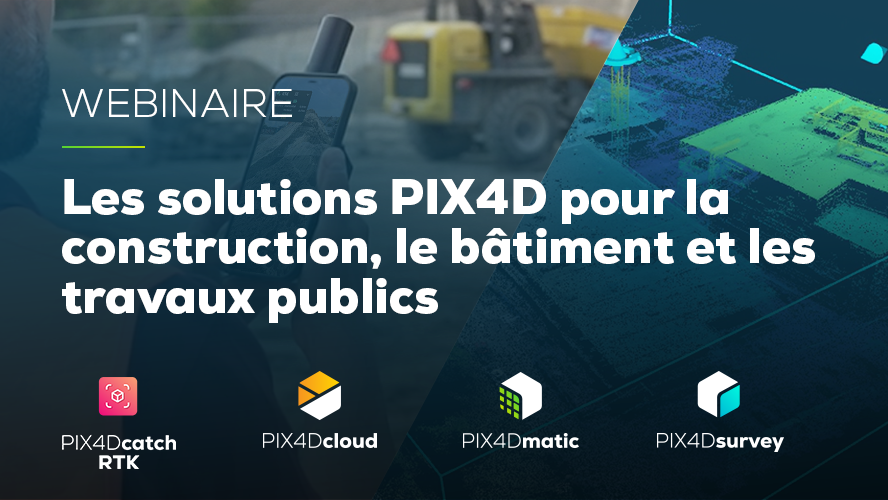
Les solutions PIX4D pour la construction, le bâtiment et les travaux publics
Découvrez les logiciels et matériel PIX4D pour la construction et le BTP. Les solutions PIX4D permettent de transformer des photos en modèles 2D et 3D précis et géoréférencés utiles dans les domaines de la construction, du bâtiment et des travaux publics.
Date: Novembre 2023
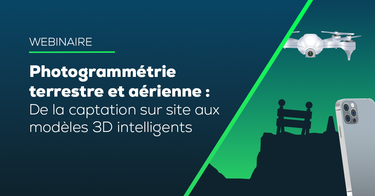
Photogrammétrie terrestre et aérienne: De la captation sur site aux modèles 3D intelligents
Nous montrerons comment PIX4Dcatch simplifie l’acquisition au sol grâce à votre smartphone, également PIX4Dcloud et PIX4Dmatic pour le traitement et l’analyse des données aériennes et terrestres.
Date published: April 2025
If you have suggestions on webinar topics you would like to see, we’re all ears! Send us an email, we would love to hear from you!