

Webinare und ebooks
Die Vor- und Nachteile von Drohnen- und terrestrischen Kartierungen
Durchsuchen Sie unsere Sammlung von Ressourcen auf Deutsch.
Wir haben mehr Inhalte hier auf Englisch verfügbar.
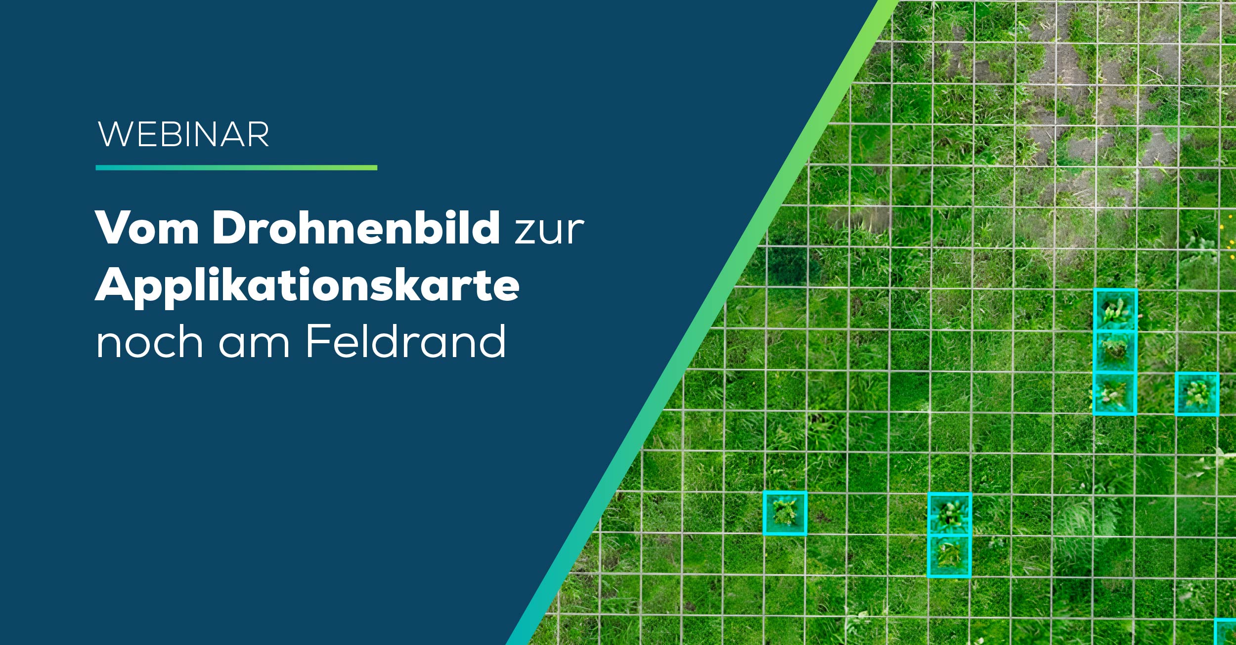
Vom Drohnenbild zur Applikationskarte noch am Feldrand
Suchen Sie nach einem Weg, Unkräuter wie Ampfer im Grünland schnell zu erkennen und sofort zu behandeln – auch ohne Mobilfunknetz?
Ausstrahlungsdatum: Dec 2025

Planung teilflächenspezifischer Anwendungen und digitale Bonitur
Pix4D zusammen mit IASP und AGRARPOHL präsentiert wird, geben wir Ihnen einen Einblick in die Verwendung von Pix4D-Software.
Ausstrahlungsdatum: May 2020
If you have suggestions on webinar topics you would like to see, we’re all ears! Send us an email, we would love to hear from you!