

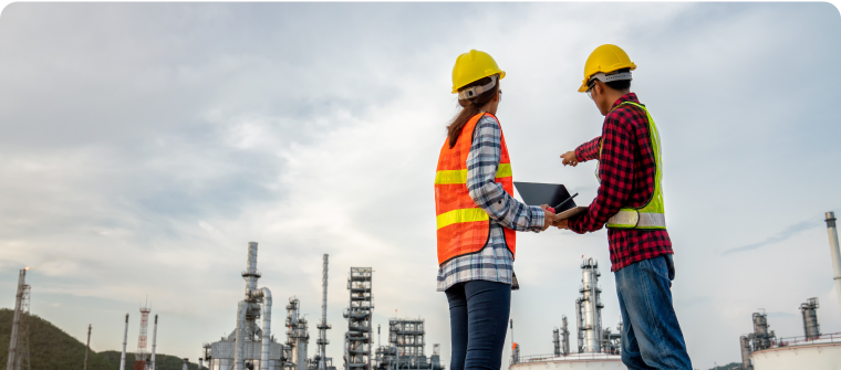
Kartierung und Landvermessung mit Drohnenbildern, terrestrischem LiDAR und Photogrammetrie
Fortgeschrittene Software für Kartierung und Landvermessung
Anwendungen
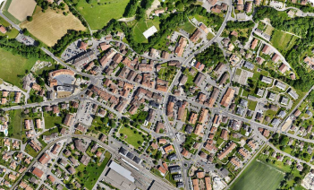
Kartierung
Vorteile
- Erhalten Sie Ergebnisse in Umfragequalität
- Sparen Sie Betriebskosten, indem Sie weniger Zeit im Außendienst verbringen
- Ständige Aktualisierung Ihrer Karten, Modelle und Projekte


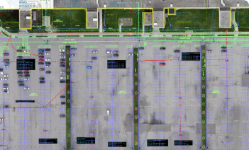
Landvermessung
Vorteile
- Hochgenaue topografische Vermessungen durchführen
- Kombination von LiDAR- und Photogrammetriedaten
- Einfache Integration von Daten in CAD- oder GIS-Software

Photogrammetrische Kartierung und Modellierung ist leichter zugänglich als je zuvor
Erstellen von Vermessungsergebnissen wie 3D-Karten und Modellen aus Bildern
Steigern Sie Ihre Produktivität
Nutzen Sie Drohnenkartierung, um Kosten zu sparen, indem Sie weniger Zeit im Feld verbringen. Verbessern Sie Ihre Ergebnisse mit kombinierten Luft- und Bodendaten.
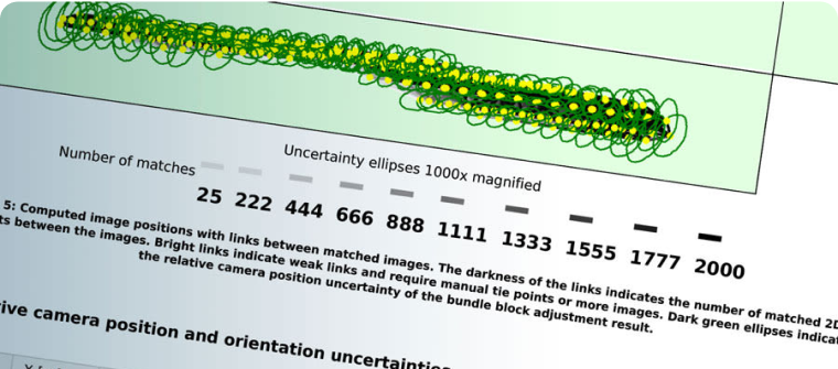
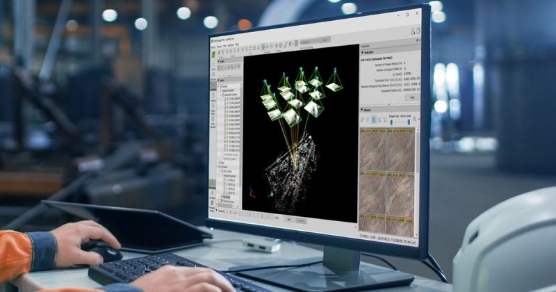
Genaue Ergebnisse erhalten
Stellen Sie die Genauigkeit Ihrer Ergebnisse sicher. Nutzen Sie GCPs und RTK-Drohnenunterstützung, um Ihre Daten zu georeferenzieren, während die Qualitätsberichte und Bearbeitungswerkzeuge Ihnen die Kontrolle über Ihr Projekt geben.
Verbesserte Zusammenarbeit
Nutzen Sie die Integration unserer Produkte und die Vorteile unserer sicheren Cloud, um die Kommunikation zwischen Teams und Arbeitsplätzen zu erleichtern. Teilen Sie Ergebnisse über einen Link.

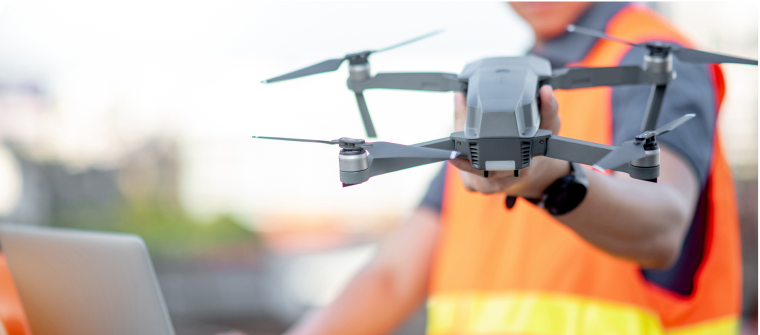
Erfassen Sie
Erfassen Sie aerial and/or terrestrial images or LiDAR data.

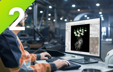
Digitalisieren Sie
Verwandeln Sie Ihre Bilder in präzise digitale Karten und 3D-Modelle.
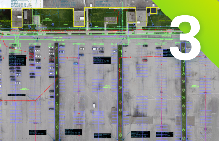
Prüfen, messen, vektorisieren
Beurteilen und verbessern Sie die Genauigkeit Ihres Projekts, messen Sie Entfernungen, Flächen und Volumen und extrahieren Sie Schlüsselelemente in CAD oder GIS.

Teilen Sie
Geben Sie Projektdaten und Einblicke selektiv und sicher an Ihr Team, Ihre Kunden und Lieferanten weiter, indem Sie Standarddateiformate verwenden.
Bildung
Wir bieten Bildungseinrichtungen Lizenzen für Forschung und Unterricht an. Bringen Sie Photogrammetrie in Ihren Kurs mit einem speziellen Angebot.
EntdeckenProfessionell
Heben Sie Ihre Arbeit auf die nächste Stufe. Nutzen Sie die Photogrammetrie, um neue Dienstleistungen anzubieten und sich mit präzisen, schnellen Ergebnissen von Ihren Mitbewerbern abzuheben. Wählen Sie das für Sie perfekte Produkt.
EntdeckenUnternehmen
Nutzen Sie unsere Produkte für Ihr Unternehmen. Integrieren Sie sie in Ihre Plattformen oder passen Sie unsere Algorithmen für Ihren Gebrauch an. Entdecken Sie maßgeschneiderte Angebote für Ihr Unternehmen.
EntdeckenKarten, Modelle und Messungen in 3D
Erkunden Sie Beispieldatensätze

Pix4Ds Produkte für Kartierung und Vermessung


Photogrammetrie-Software der nächsten Generation für professionelle Drohnen- und terrestrische Kartierung


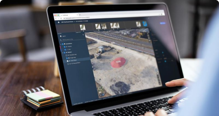

Online-Plattform für Drohnenkartierung, Fortschrittsverfolgung und Standortdokumentation