
Flexible Plans & Pricing
Software and hardware solutions to digitize reality beyond photogrammetry and enable you to achieve your goals in every stage of work


Keep control of each processing step on your local machine
Leverage the power of both photogrammetry and terrestrial LiDAR in the same application, and create CAD-ready deliverables.

Precision agriculture mapping software for high efficiency and productivity.
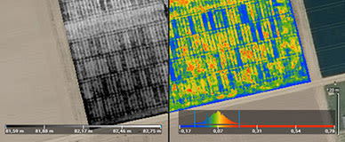
Actionable data and insights from drone imagery for crop analysis and digital farming. Create accurate maps in minutes and identify issues using calibrated multispectral or full resolution RGB images. Share your data via PIX4Dcloud or a PDF report.


Accurate 2D maps from aerial imagery for reliable situational awareness, processed in minutes.
Mark, measure, and document points of interest on your maps while on the ground and easily share them to provide powerful data for when every second counts.

Reliable photogrammetry software for classic drone mapping.
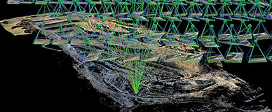
Transform your images into survey-grade accurate and georeferenced orthomosaics, points clouds, 2D maps, and 3D models for analysis, inspections, and measurements.
Available scanning kits
Pix4D and Bad Elf Scanning Kit
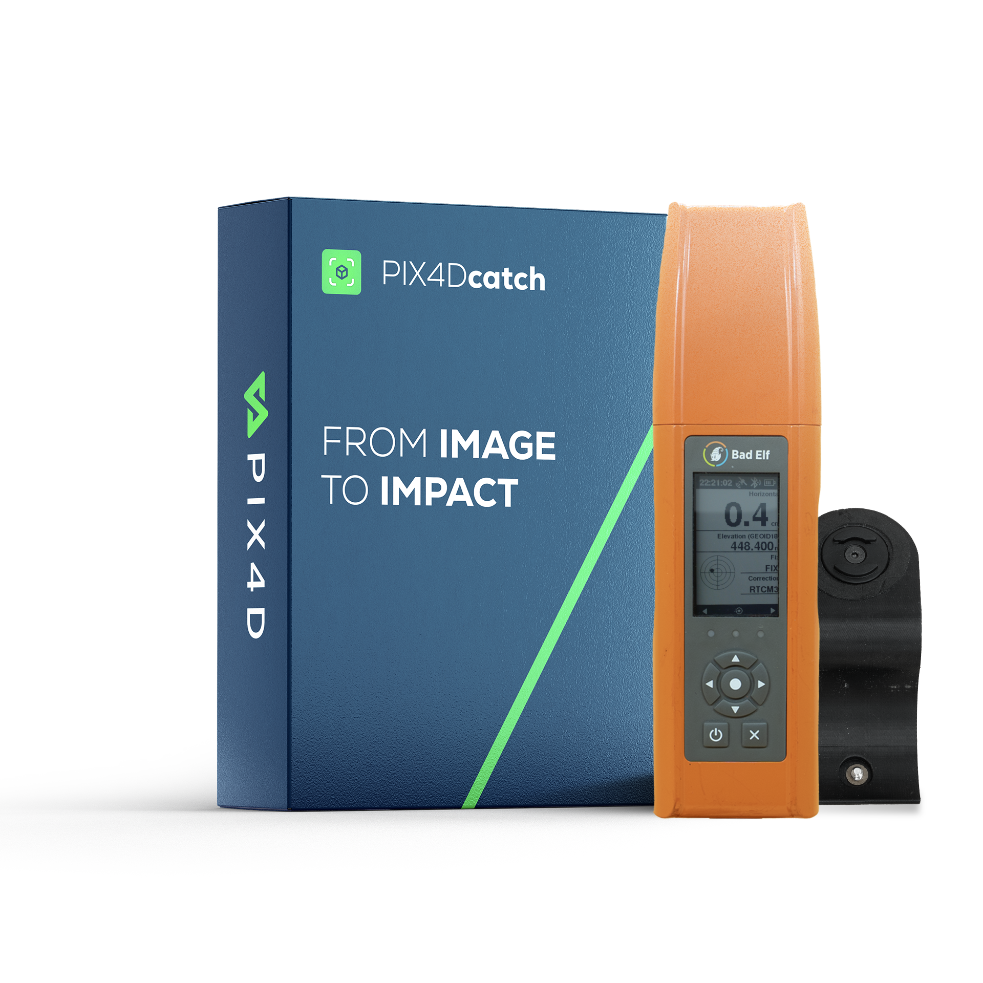
Includes:
- Bad Elf Flex Standard GNSS Receiver
- 5 Bad Elf Flex Tokens included
- SP-Connect phone mount
- 1-year PIX4Dcatch professional with 500 cloud processing credits
- Online training included for a smooth start
*PIX4Dcatch is only compatible with iOS
Pix4D and Bad Elf Flex Mini GNSS Receiver Extreme
Ultra-light
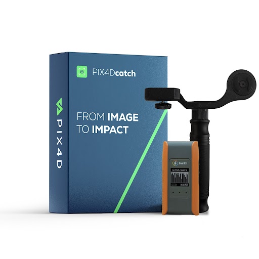
Includes:
- Bad Elf Flex Mini GNSS Receiver
- SP-Connect phone mount (tablet/phone mounting options available)
- 1-year PIX4Dcatch professional license with 500 cloud processing credits
- Online training included for a smooth start
*PIX4Dcatch is only compatible with iOS
Includes:
- Bad Elf Flex Mini GNSS Receiver
- SP-Connect phone mount (tablet/phone mounting options available)
- 3-year PIX4Dcatch professional license with 1500 cloud processing credits
- Online training included for a smooth start
*PIX4Dcatch is only compatible with iOS
Pix4D and Topcon CR-H1 Scanning Solution
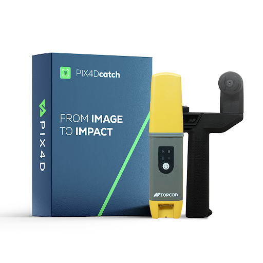
Includes:
- HiPer CR GNSS receiver
- iPhone Pro or iPhone Pro Max*
- PIX4Dcatch and PIX4Dcloud subscription
- Network correction subscription (Topnet Live or other)
- Handle, also capable of attaching an antenna pole
*PIX4Dcatch is only compatible with iOS
Pix4D and Trimble Scanning Kit
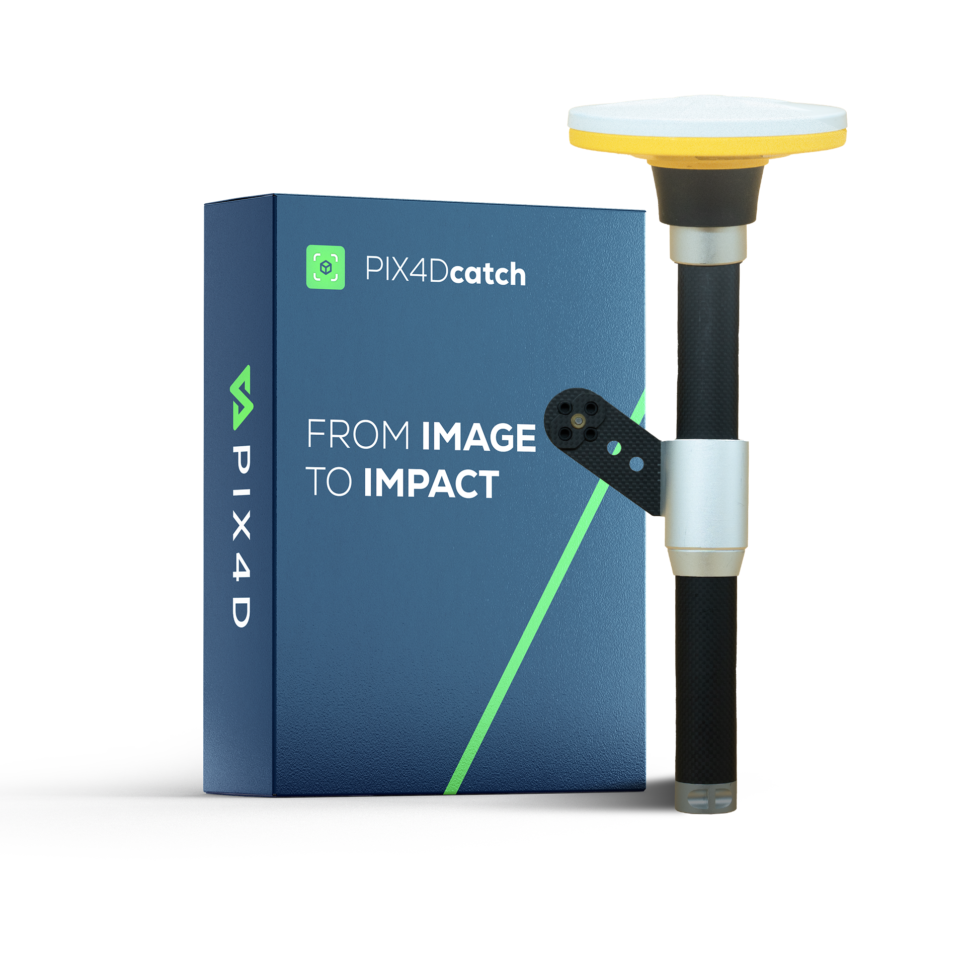
Includes:
- Trimble Catalyst DA2 GNSS Receiver
- Redesigned tripod stand with custom inlay case
- 1-year Trimble Catalyst subscription
- 1-year PIX4Dcatch professional with 500 cloud processing credits
- Online training included for a smooth start
*PIX4Dcatch is only compatible with iOS
Pix4D and Emlid Scanning Kit
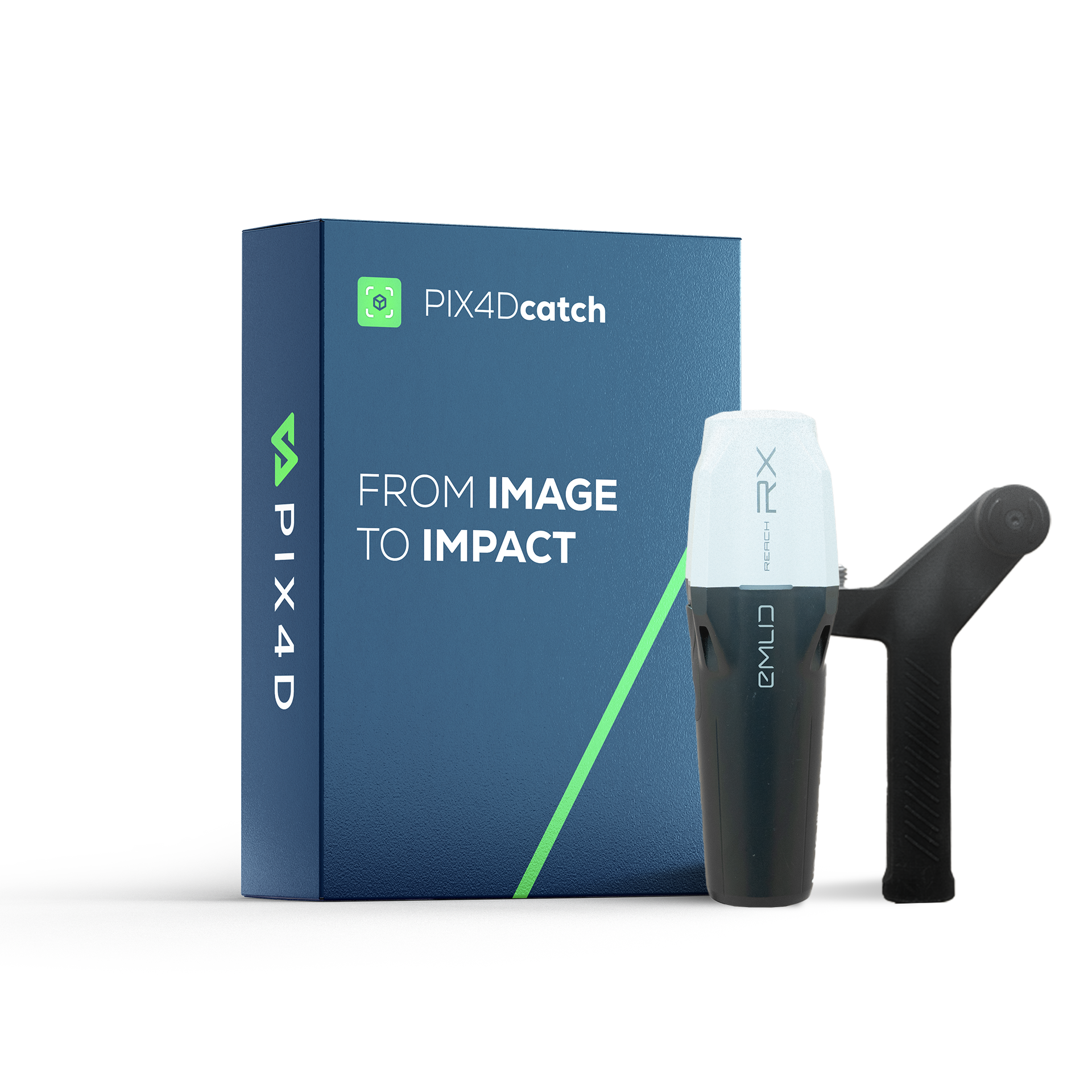
Includes:
- Emlid Reach RX2 RTK GNSS receiver
- Lightweight scanning kit: handle, tripod adapter, cable, leash, and carrying case
- 1-year PIX4Dcatch professional with 500 cloud processing credits
- Online training included for a smooth start
*PIX4Dcatch is only compatible with iOS
Try Pix4D software solutions for free
Free 15-day plan. No credit card required.
TRY FOR FREEJoin more than 60'000 Pix4D users around the world who trust us


CUSTOMER SUPPORT
Pix4D is more than just software.


CUSTOMER SUPPORT
Pix4D is more than just software.
| | |
Frequently asked questions
Can I try Pix4D software?
What are my payment options?
Additional Regional Payment Options:
- Europe: Bank transfers (including the UK) and SEPA Direct Debit are supported. Additionally, we accept Cartes Bancaires (France), Twint (Switzerland), Multibanco (Portugal), Bancontact (Belgium), EPS (Austria), and iDEAL (Netherlands).
- United States: ACH Direct Debit and bank transfers are available.
- Japan & Mexico: Bank transfers are accepted.