
Capture
Capture images or point clouds with a drone or any laser scanner.


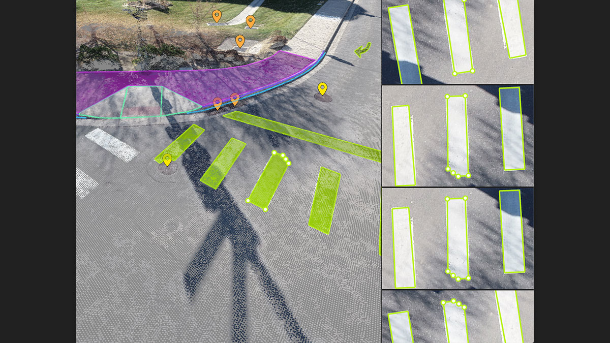


Automate the creation of spot elevations and allow drastic simplification of the number of point cloud points. With a click, use this Grid of points to model the ground with a TIN.
Extract the same points you would use in the field with Smart Grid - it doesn't create any data, but instead reads the terrain class for locations of elevation change, just like your field crew would take spot elevations along breaklines.
Next up? Take that set of points & breaklines and create a DTM in LandXML format that exactly reflects the points you have told it to use. Now you are good to go in your CAD or GIS!
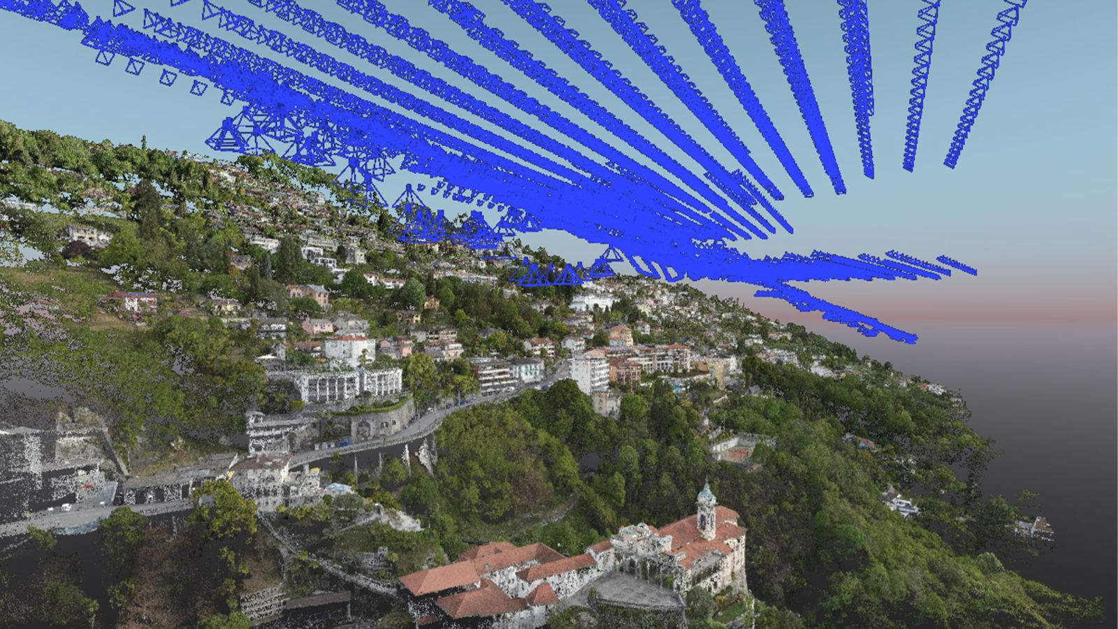
To update land and property boundary records, this team set out to use drone mapping with PIX4Dmatic and PIX4Dsurvey.

PIX4Dmatic & PIX4Dsurvey 1.54.1 introduce videos & views, the object selection tool, detailed quality report, and much more.
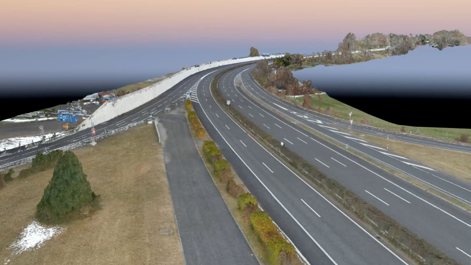
A motorway in Switzerland needed to be inspected - but it was on a viaduct in the mountains. Discover how aerial drone maps helped.