Pix4Dfields Index genreator GNDVI

Vegetation indices: a key tool in precision agriculture

The advancement of remote sensing, GIS, GPS, and precision agriculture technology is the key to better crop management.

Crops vary, even within the same field. Precision agriculture technology enables better identification, analysis, and management of this temporal and spatial in-field variability. Precision agriculture is all about reducing this variability through more focused and targeted efforts - efforts that should increase production by maintaining crop quality and quantity. This can be made more efficient with aerial imagery collected with drones using specialized sensors.

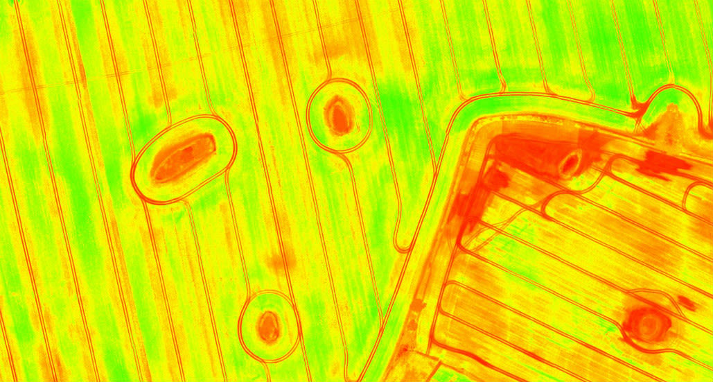
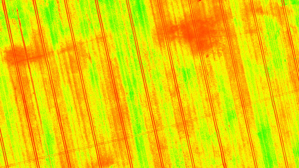
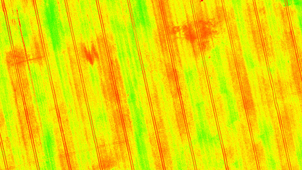
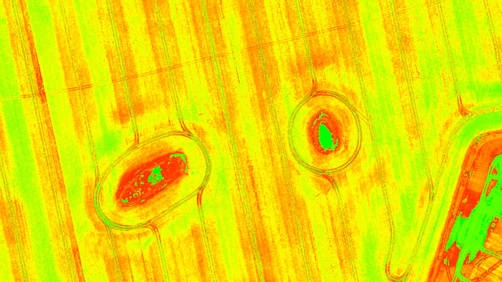
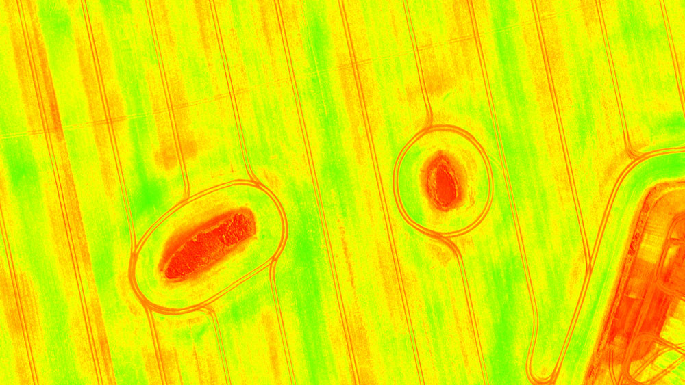
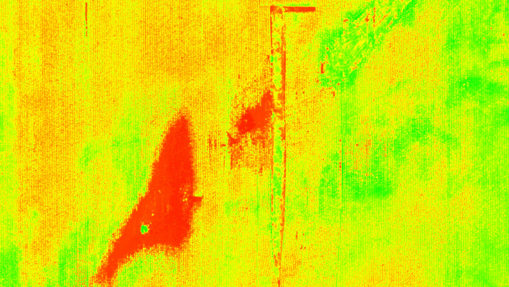
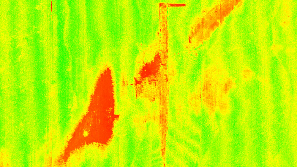
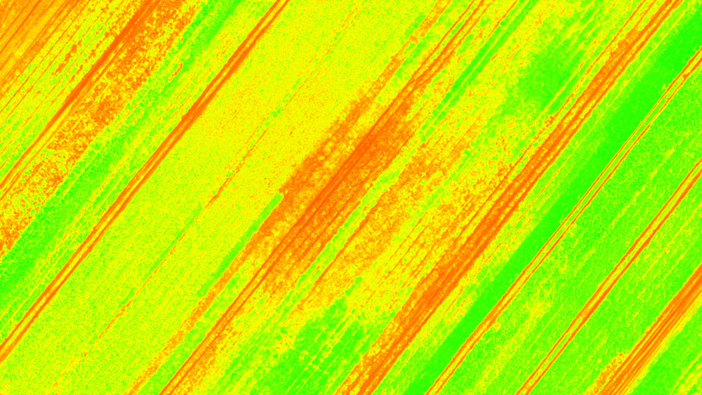
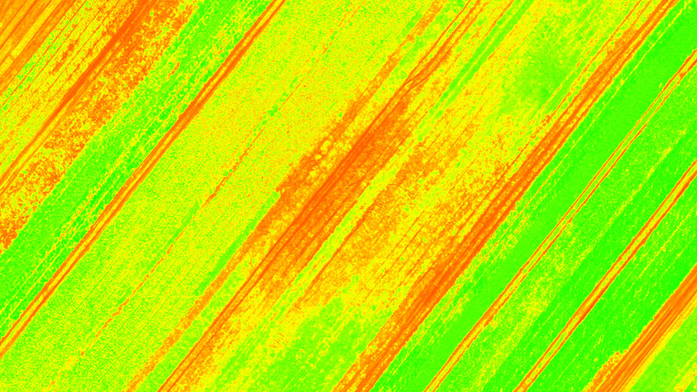
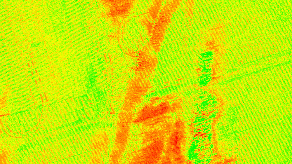
When talking about remote sensing in precision agriculture, we immediately think of sensors and vegetation indices. Vegetation or vegetative index is calculated using different spectral bands, usually depending on what type of plant stress you are trying to visualize.


Our dedicated software for agriculture - Pix4Dfields, comes with the list of most popular predefined indices: NDVI, NDRE, VARI, TGI, SIPI2, LCI, BNDVI, GNDVI, and MCARI. Each index has a different use and a different visual output.

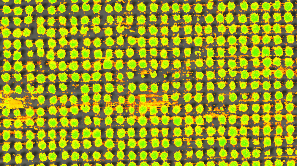
Pix4Dfields also comes with the index calculator tool, which allows you to create custom index formulas that adapt better to the specific crop scouting or crop protection needs. Custom indices can be created depending on the available bands from your imported images, these are listed as buttons under reflectance map bands. 


Dynamic range in Pix4Dfields
Adjusting the NDVI histogram maximum and minimum values

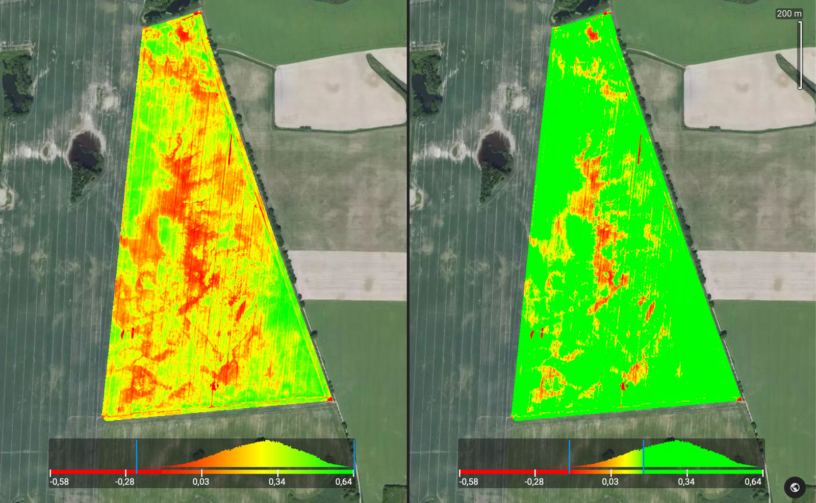
With the advanced layer visualization tool, Pix4Dfields is equipped with multiple functions to help you focus on the data that is important to you, including histogram equalization and dynamic range to get more control over the data values of interest. This functionality enables you to draw attention to certain values, which gives you more insights into the condition of your fields. A drone and Pix4Dfields can help unlock knowledge and data that was previously inaccessible at the same scale for the same price.

Vegetation indices in Pix4Dfields: NDVI & NDRE

Normalized Difference Vegetation Index
Normalized Difference Vegetation Index - In precision agriculture, NDVI is used to measure biomass. Whereas, in forestry, it is used to quantify forest supply and leaf area index.
NDRE – Normalized Difference Red Edge
NDRE – Normalized Difference Red Edge - Index sensitive to chlorophyll content in leaves against soil background effects. This index can only be formulated when the red edge band is available.

Vegetation indices in Pix4Dfields: SIPI2 & LCI

SIPI2 – Structure Intensive Pigment Index 2
SIPI2 – Structure Intensive Pigment Index 2 - Index used in areas with high variability in canopy structure (e.g. forestry).
LCI – Leaf Chlorophyll Index
LCI – Leaf Chlorophyll Index - Index to assess chlorophyll content in areas of complete leaf coverage.

Vegetation indices in Pix4Dfields: TGI & VARI

TGI – Triangular Greenness Index
TGI – Triangular Greenness Index - RGB index for chlorophyll sensitivity. TGI index relies on reflectance values at visible wavelengths. It is a fairly good proxy for chlorophyll content in areas of high leaf cover.
VARI – Visible Atmospherically Resistant Index
VARI – Visible Atmospherically Resistant Index - RGB index for leaf coverage. This index is used to estimate the fraction of vegetation in an image with low sensitivity to atmospheric effects.

Vegetation indices in Pix4Dfields: BNDVI & GNDVI

BNDVI – Blue Normalized Difference Vegetation Index
BNDVI – Blue Normalized Difference Vegetation Index - BNDVI is an index without red channel availability that uses the visible blue, for areas sensitive to chlorophyll content.
GNDVI – Green Normalized Difference Vegetation Index
GNDVI – Green Normalized Difference Vegetation Index - GNDVI index uses visible green instead of visible red and near infrared. Useful for measuring rates of photosynthesis and monitoring the plant stress.

Vegetation indices in Pix4Dfields: MCARI & Custom

MCARI – Modified Chlorophyll Absorption in Reflective Index
MCARI – Modified Chlorophyll Absorption in Reflective Index - MCARI is an index used to measure chlorophyll concentrations including variations in the Leaf Area Index.
Custom index for soil and vegetation masking
Custom index for masking - This custom index masks either soil or vegetation from the map for more focused results.

Seeing is believing

If you would like to test different vegetation indices, download our demo dataset and explore different ones directly in Pix4Dfields. For more guidance and how-tos, check out the dedicated Pix4Dfields support page


Discover PIX4Dfields
Try vegetation indices on a field near you

Related articles