Capture
Collect terrestrial data using PIX4Dcatch and RTK and get measurements at centimeter-level absolute accuracy.


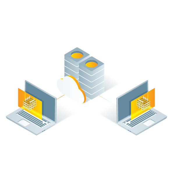

Give access to your whole team. PIX4Dcloud supports unlimited users per organization, included at no extra charge


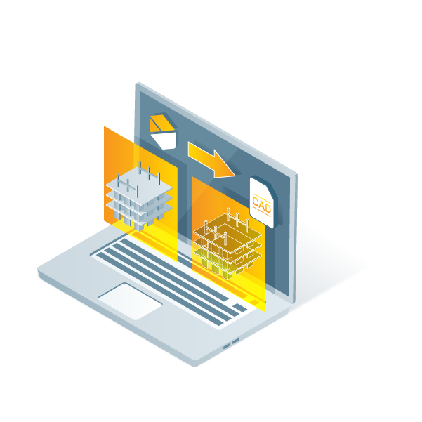
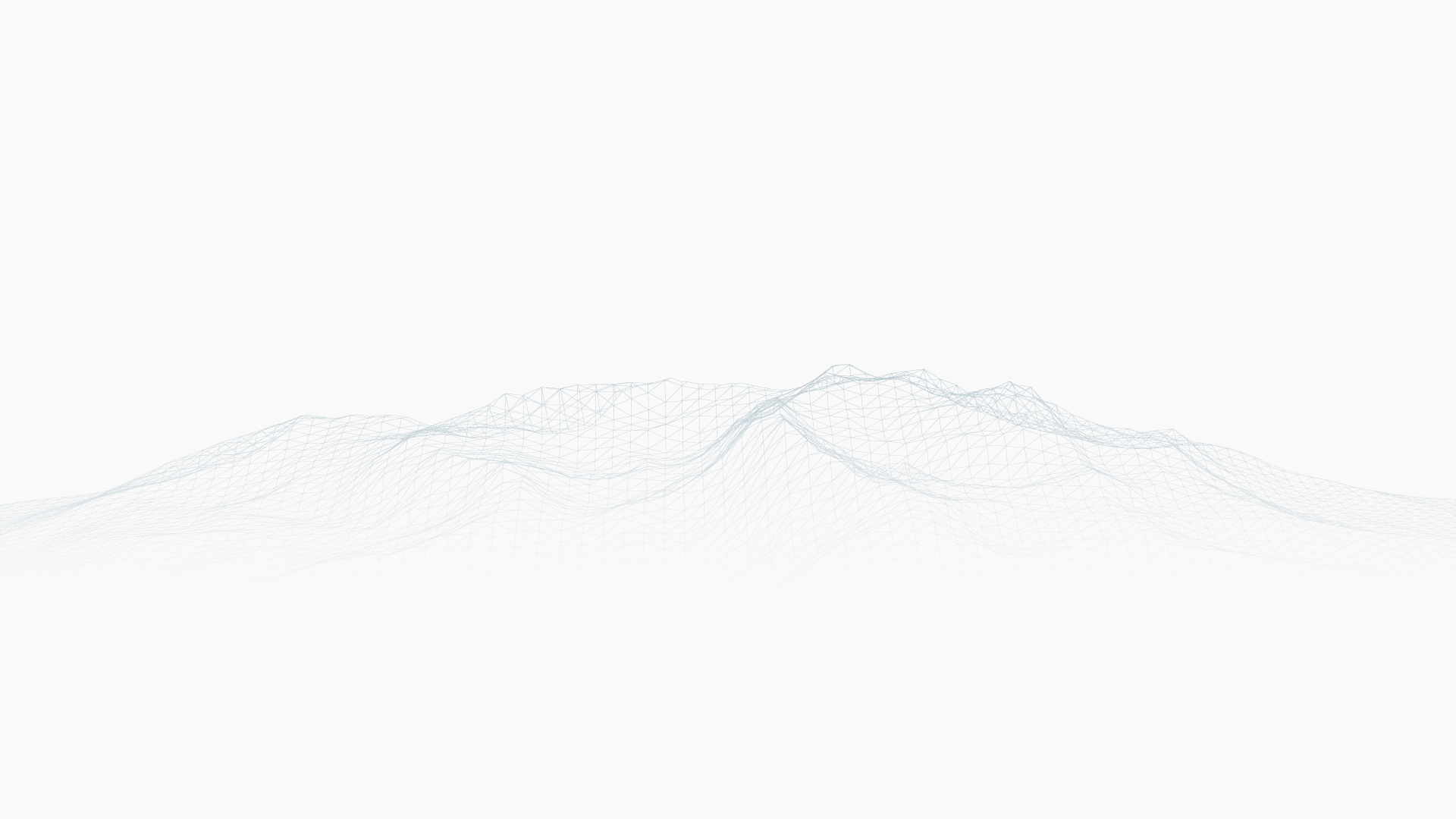
Gaussian Splatting is an advanced processing technique that dramatically improves visualization in 3D models and generates more complete point clouds.
Learn more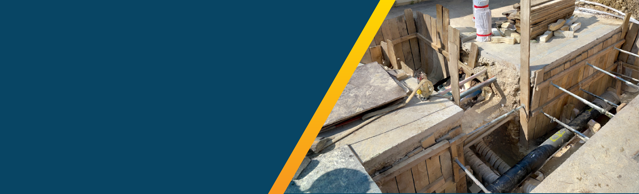


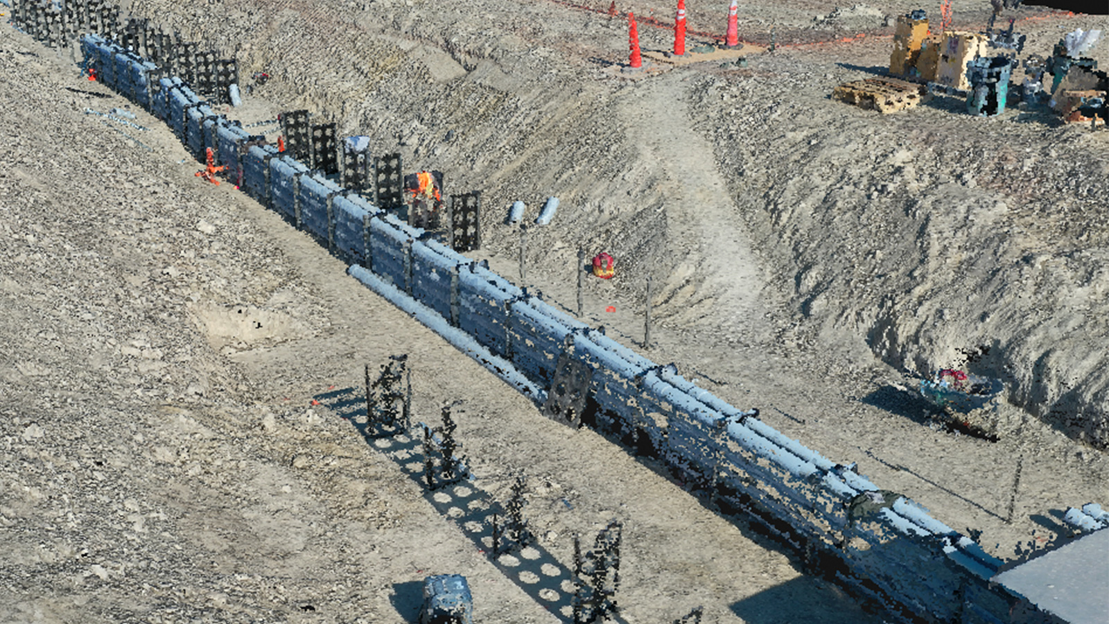
Drone mapping does not only save time and money, it can also prevent major accidents. Discover how PIX4Dcloud Advanced helped prevent a gas line rupture that could have injured people.
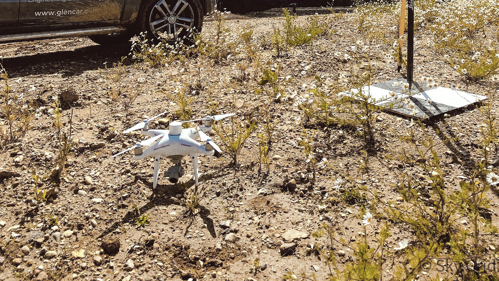
It's important to monitor landfill sites, but it's also expensive. Learn how Sky Grid reduced the surveying cost and time using PIX4Dsurvey and PIX4Dcloud Advanced.
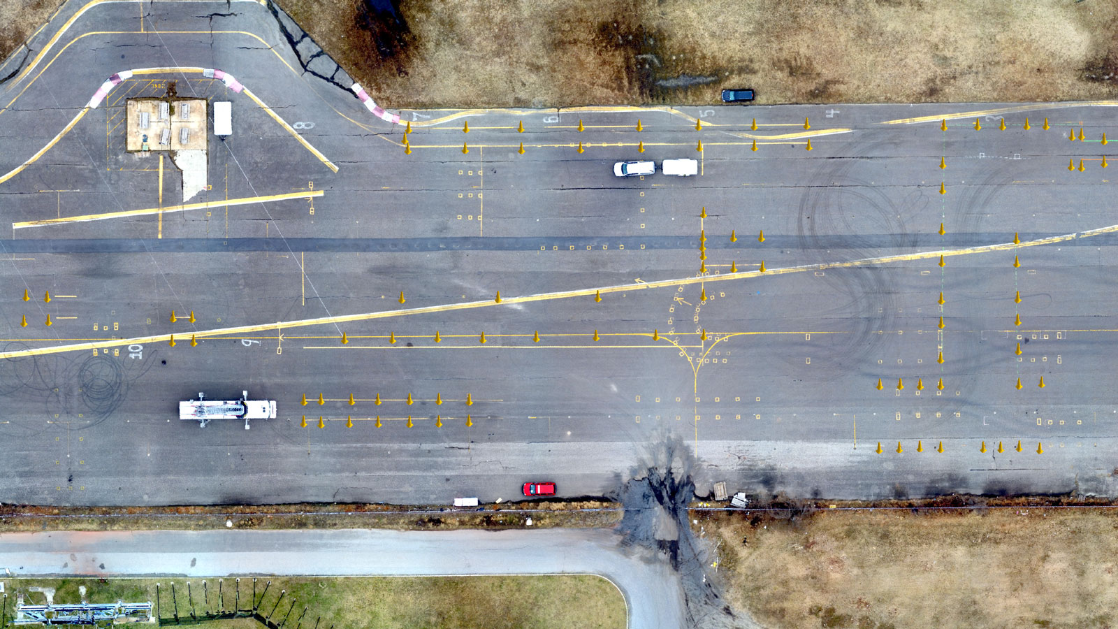
Learn how PIX4Dsurvey and PIX4Dcloud helped the Atlantic City Office of Emergency Management survey the entire site of Bader Field and provide actionable information.