


What makes PIX4Dcatch the best solution?
3D scanning
processing options
compatibility
Learn more
AR features

of use
Find out what else PIX4Dcatch can do!
Workflow
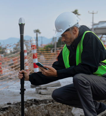
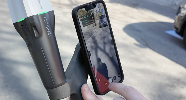
Capture ground data
Walk along or around the area of interest to scan, and PIX4Dcatch will automatically record video frames with positional and orientation information.
Ensure completeness
Experience real-time AR feedback on your scan's coverage and completion with a 3D mesh overlay and point cloud live viewer.
Pause and restart
Pause the capture whenever needed. The live viewer continues to display on your device, displaying the areas you've already covered.
Export and process
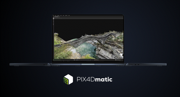
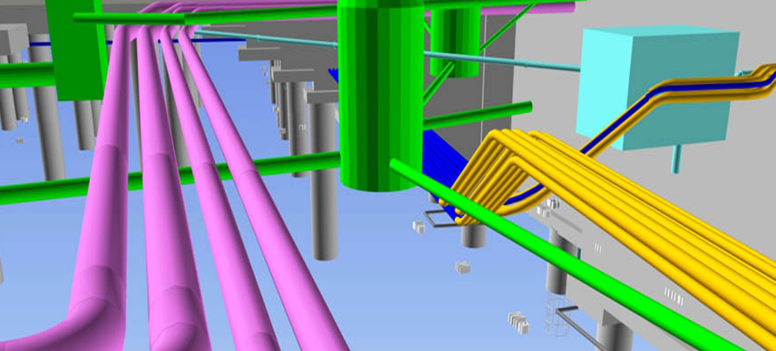
Upload the captured images to PIX4Dcloud or export them to PIX4Dmapper or PIX4Dmatic to generate accurate, measurable, and easy to share 3D models and point clouds.
Learn how PIX4Dcatch can be the right fit for you
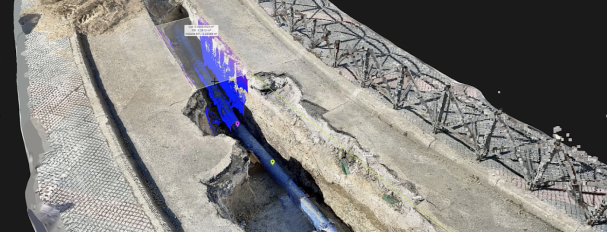
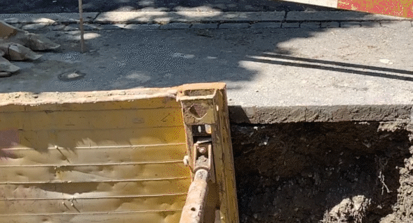
Utilities and subsurface mapping
- Quick trench scans for documentation of subsurface utilities
- Visualization in AR, even after closure
- Save time and cut costs
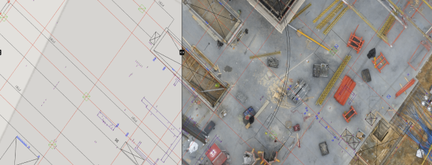
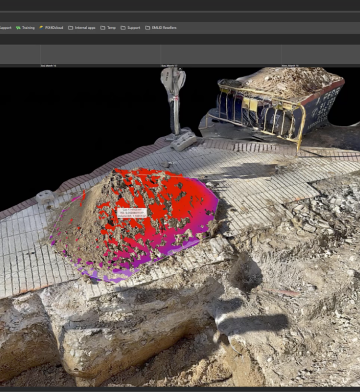
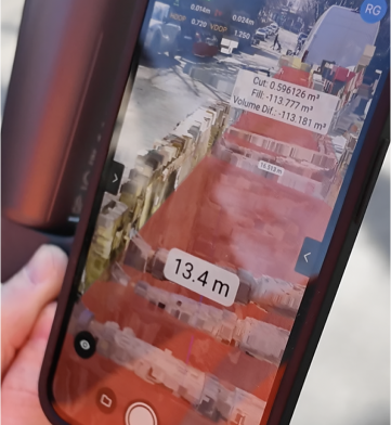
Construction verification and earthworks
- Overlay DXF, IFC, or SHP designs
- Measure and compare volumes
- Reduce costs, speed up project timelines
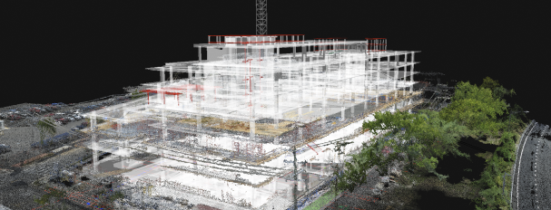
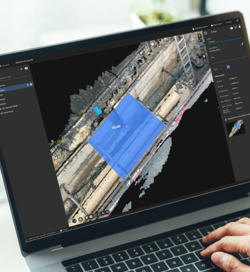
Civil engineering and site verification
- Overlay CAD files for real-site comparison
- Cloud uploads for collaborative work
- Speed up reviews, keep projects on track
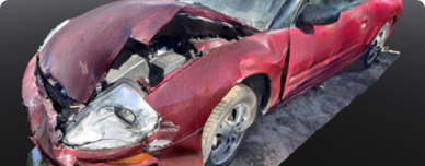
Forensics scene capture
- Merge drone and phone data for 3D models
- Secure, offline, user-friendly workflow
- Detailed and comprehensive scene documentation

Land surveying
- Streamline surveying with user-friendly interface
- Integrate with PIX4Dmatic and PIX4Dcloud
- Easy data processing and report sharing
Subscription plans
Discovery
The Discovery license is free. It allows users to explore PIX4Dcatch and experiment with 3D scanning of scenes.
Standard
Pix4D license holders* have access to all of the features from Discovery plus data export/import. A PIX4Dcloud license allows for advanced processing.
*PIX4Dcloud, PIX4Dmatic, or PIX4Dmapper licenses only
Pro
The Professional license includes all the offerings of the Standard license, but with an additional range of premium features, including:
PIX4Dcatch use cases
Mobile 3D scanning and the advance of digital construction
Governments globally are adopting digital processes like BIM to increase collaboration and save time and money.
Usability meets accuracy with PIX4Dcatch mobile scanning
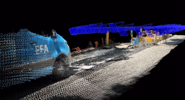
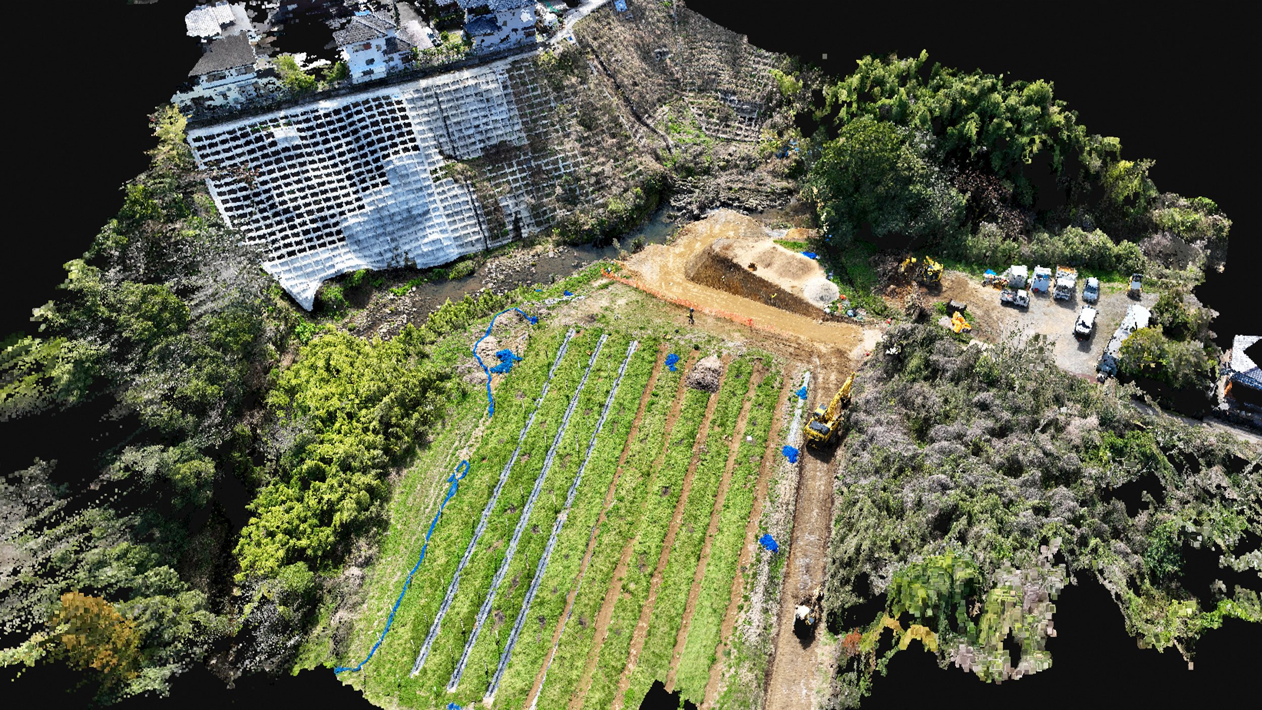
A construction company in Japan conducted a comparative accuracy test using a laser scanner, a drone, and PIX4Dcatch.
Laying pipelines using PIX4Dcatch
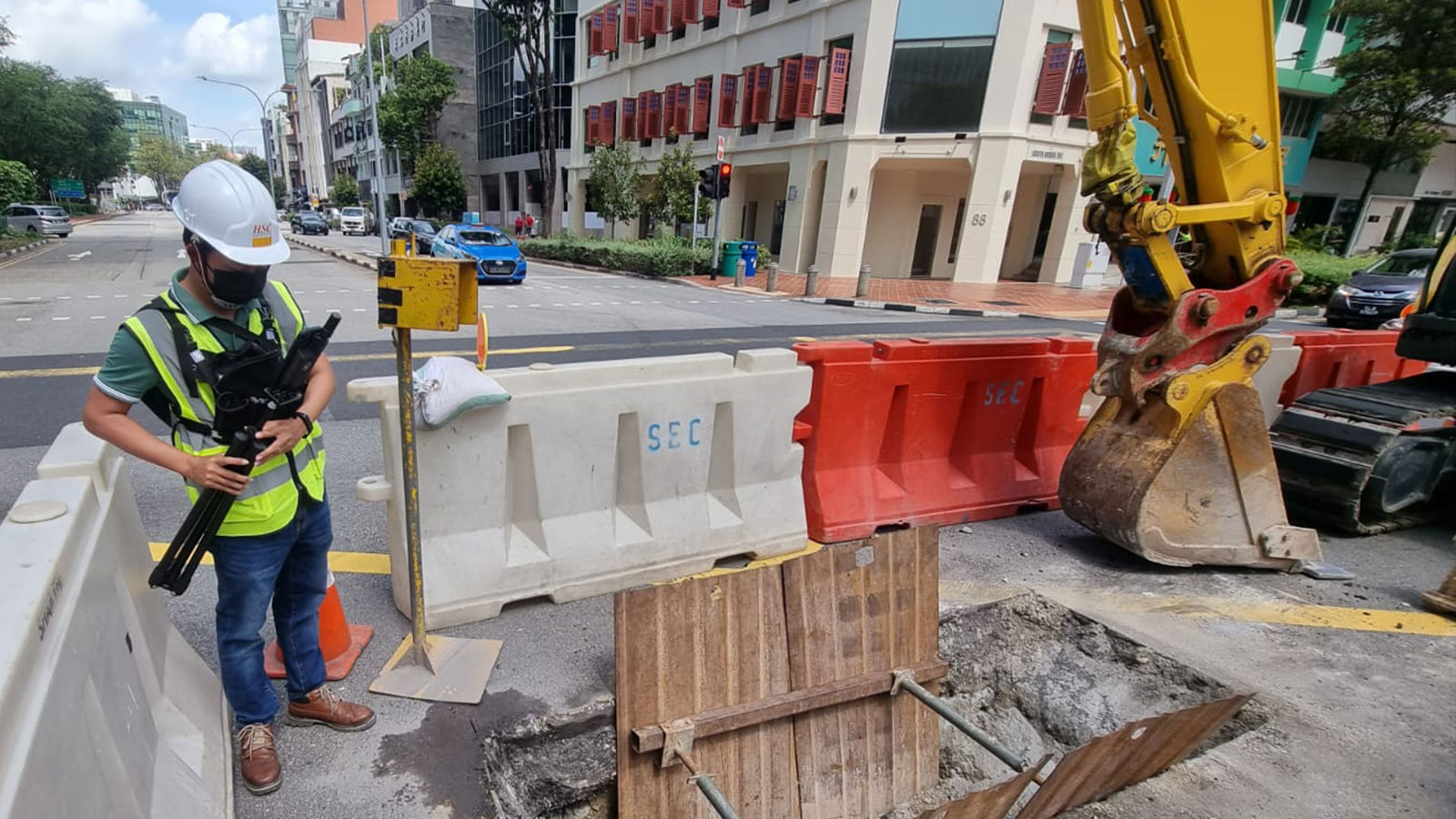
Mobile 3D scanning device PIX4Dcatch saves time and boosts productivity for HSC Pipeline Engineering in Singapore.