Have a question about our packages?

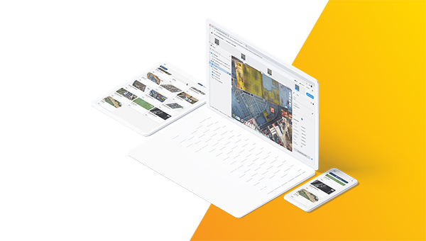
The power of Pix4D on the cloud. The online platform for drone and ground mapping, site documentation and project collaboration.

Billed monthly, excl. taxes/ month
/ month
Billed monthly, excl. taxes/ month
/ month
- 2D/3D Comparison
- PDF reports
- DXF and IFC overlays
- Timeline view
- and more
Credits
A credit refers to the number of images being processed and their respective resolution. Photo resolution is measured in pixels or megapixels by multiplying the photo width and height.
Select your additional credits package


What is the difference between Standard and Advanced plans?
Leading companies have adopted PIX4Dcloud to improve their workflows
“The point clouds, generated by PIX4Dcloud, can be used to quickly and easily compare the as-designed model to the as-built orthophotos.The drone data and Pix4D combination is an affordable way to monitor site progress against project schedules.”

"Had the team not been using PIX4Dcloud Advanced, the construction site could have faced a lot in rework costs. That’s why PIX4Dcloud Advanced is now a company standard and is used across our company projects"

"When surveyors deliver results in a couple of days, drone-mapping takes only a few hours. With a drone, we get the big picture of the overall site. We can quickly collect real-time data from PIX4Dcloud projects to make on-the-ground decisions quicker and identify potential issues before they become costly."

