Using smart agriculture to research fungicide efficacy
Farmers have to strike a careful balance between what products they use on their crops, and how much. With more pressure on crops than ever because of unpredictable weather due to climate change and the war in Ukraine, the need to produce healthy crops while maximizing yield is more important than ever. Part of producing a good crop in good health, or with good vigor, is through the effective use of chemicals or treatments, such as fungicides.
What are fungicides?
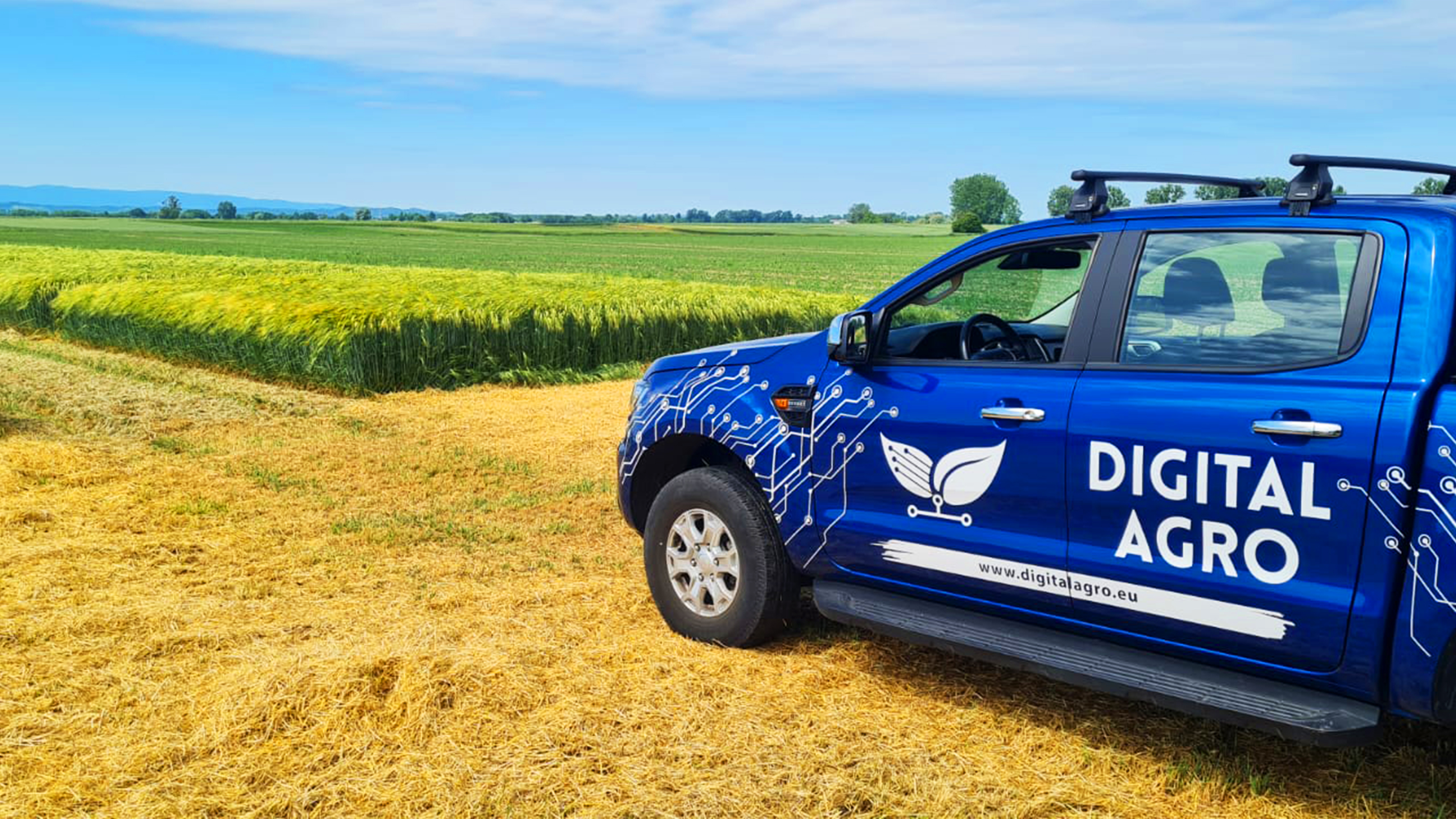
Digital Agro is an agricultural service provider and reseller under the umbrella of Agrigentum LTD. Based in Croatia, Digital Agro empowers Farmers & Agri-Food companies with intelligent Technology Solutions & Business Services, such as multispectral crop analysis. Their own farmland includes 3,5 hectares of orchards that comprises 1 ha of nuts and 2.5 ha of berries. They use these areas to inform their research as they test out solutions and workflows in their own fields.
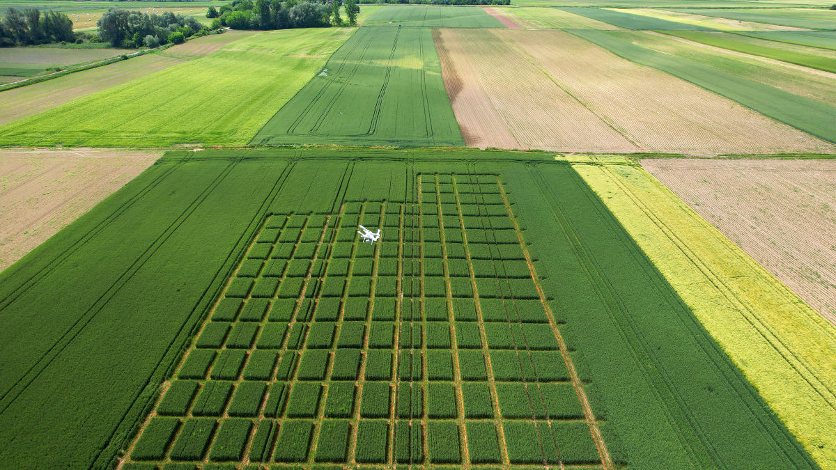
The Digital Agro team was contracted by a large agricultural chemical provider to research the effectiveness of their latest fungicides and their application on different varieties of wheat and barley. These crops are critical to global food supply chains and optimizing yields is very important to growers. The effectiveness of the fungicides can be measured in several ways, including testing the temperature of plants (which is lower with effective treatment), analyzing the length of chlorophyll activity, or tracking plant disease prevalence in the field.
In this case, the team from Digital Agro chose to measure crop health through vegetation indices. They chose to use the NDVI index to measure the correlation between plant health and treatment. The client wanted to show the value of using fungicides to prevent disease as well as test how the variety’s drought tolerance resisted the dry periods experienced in the summer of 2022.
Project details
| Location | Croatia |
| User | Digital Agro |
| Area surveyed | 2.5 ha |
| Software | PIX4Dfields |
| Hardware | DJI P4 Multispectral |
| Processing hardware | Predator Triton 300 Intel (R) Core i7-10750H CPU 2.60 GHz |
| Processing time | 1.5 hours |
| GSD | 3.05 cm |
Mapping crops to measure fungicide efficacy
The Digital Agro team decided to measure the field on two separate dates across the summer. This would provide datasets with enough time between them for the fungicide to take effect. The drone flights were completed at the end of May and the end of June 2022. These are also different phenophases of plant growth which would show the changes in the crops over time. For one of the flights they had to postpone their data collection by a day or two due to strong winds and rain. The total flight area was 2.5 hectares, which they covered with 2230 images across both data collection flights.
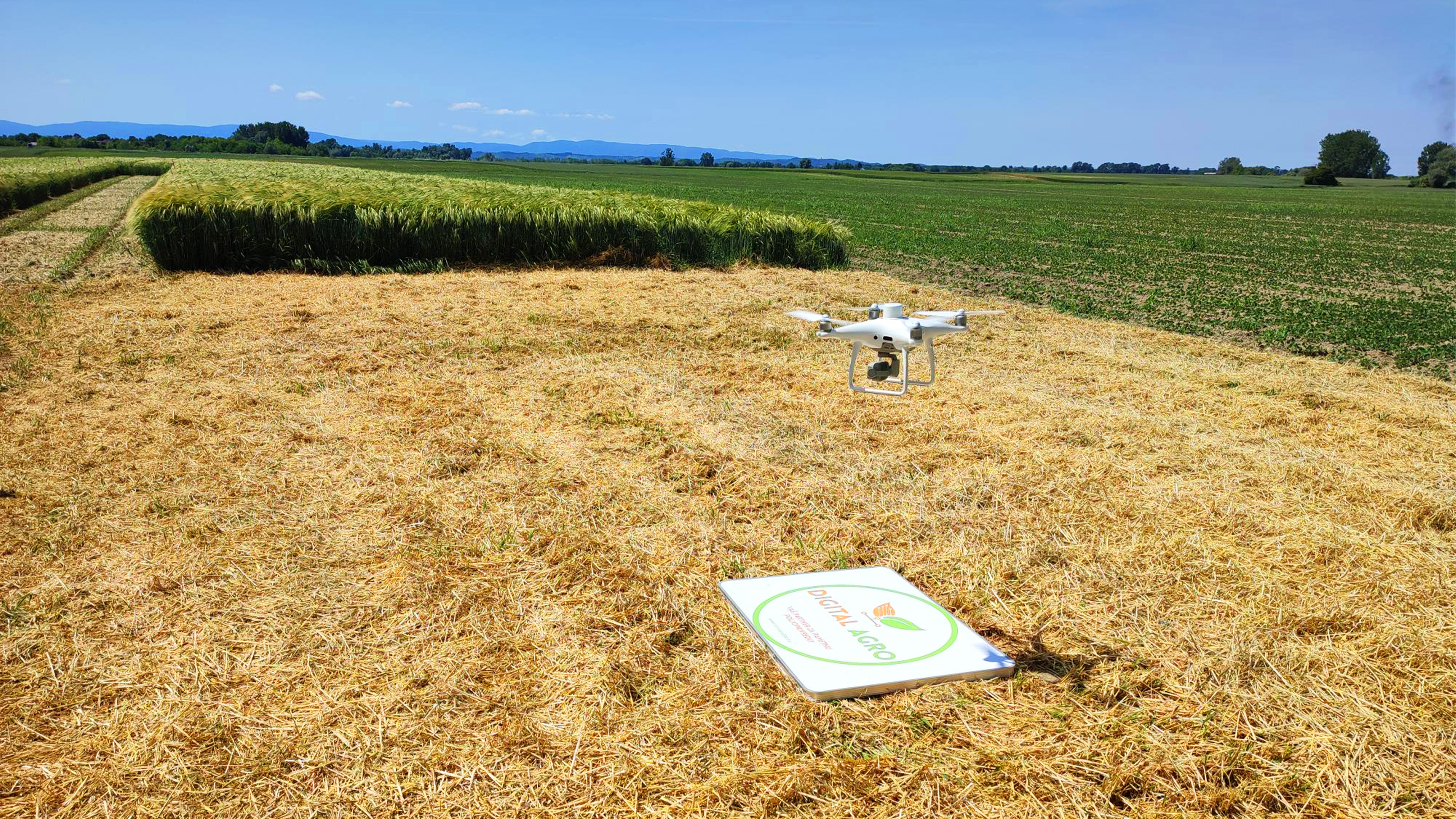
The data was processed with PIX4Dfields 1.12 (Note: the new PIX4Dfields 2.0 now includes satellite imagery). Processing took 1.5 hours on a powerful laptop and with no internet connection. The whole process of collecting data, processing, and preparing final results took just three days. For both data collection events, the Digital Agro team gathered data on day one, then shared raw image data on day two, and their final results on the third day as part of a comprehensive result.
How vegetation indices prove the ROI of using fungicides
The NDVI vegetation index was selected as it is an indicator of chlorophyll activity which directly correlates to plant vigor: greater vigor is represented with a higher prevalence of green across a field versus yellow or red for lower plant health/concentration.
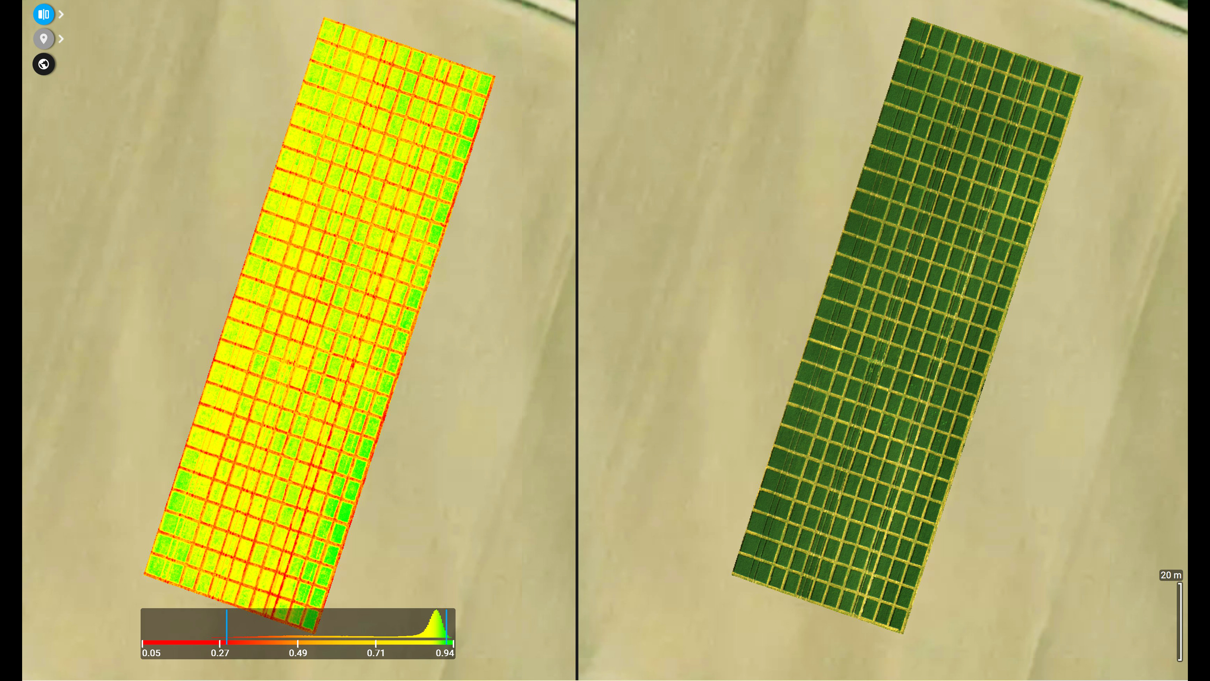
The accuracy of the vegetation indices and level of detail captured with PIX4Dfields (GSD of 3.05 cm) meant that the team could distinguish not only between fields but also test plots within the space. The high NDVI, marked with the green color, indicated plants of strong vigor. The yellow meant lower NDVI values, showing lower vigor, whilst red indicates bare soil and an NDVI value of 0.
The June dataset shows the micro-plots within the fields of wheat and shows there is a significant decrease in the NDVI, and a decrease in the chlorophyll content of plants. The crop also had less moisture within it which means that the eventual harvest quality will be better. For an optimal wheat harvest, the moisture content of the wheat grain should be 20%. The reduced plant activity interrupts the supply of moisture from the soil.
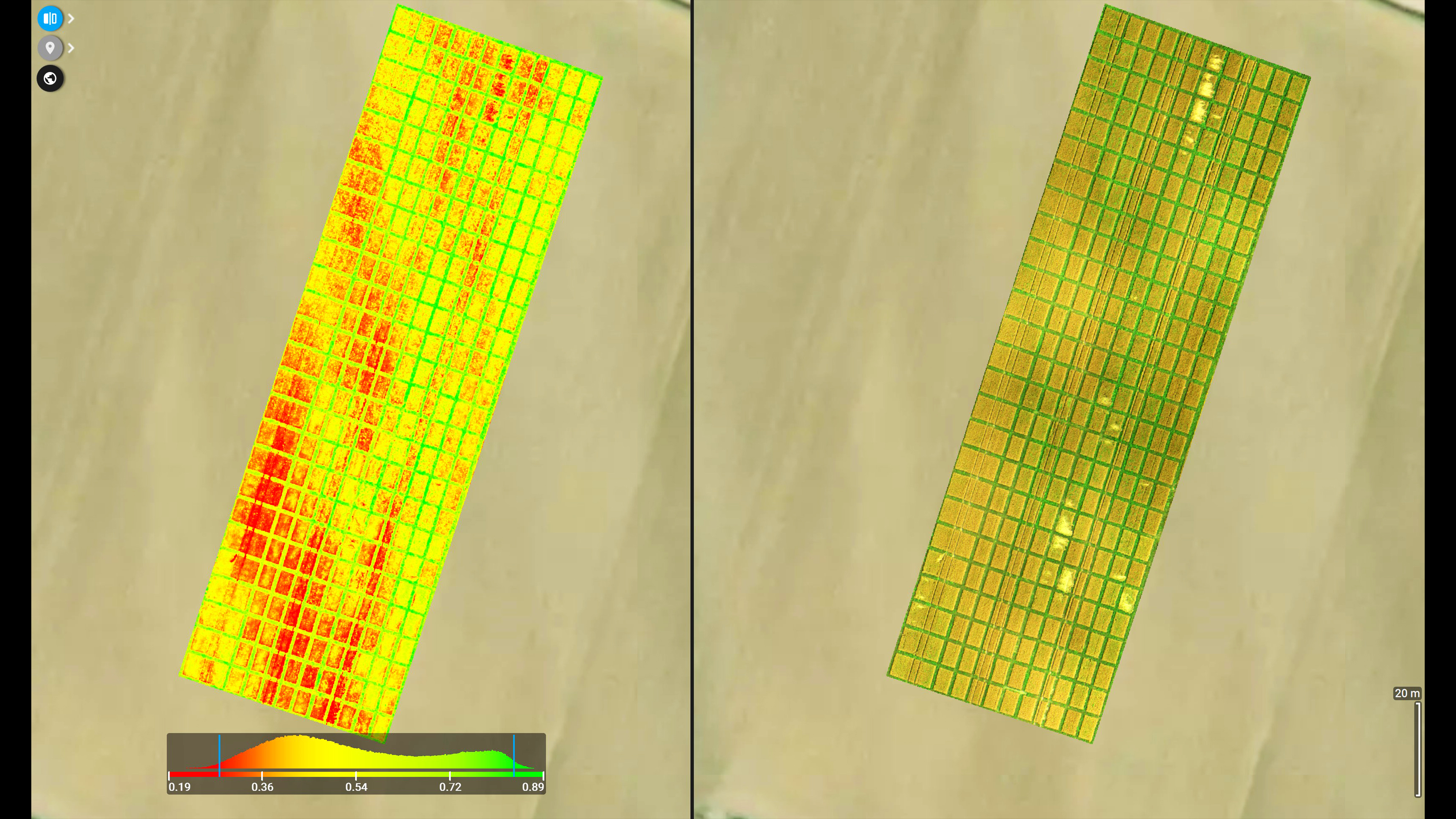
When the specialists from Digital Agro compared the NDVI values of the two plots, they could see that the average NDVI value of the wheat in May was 0.75. This is a high value and typical for the “heading” phase of cereal crops. The high NDVI value is an indicator of healthy plants with strong vigor and chlorophyll. The data from the second recording had an average NDVI value of 0.45. This shows the plant is ripening. The micro-plots in the test fields show that certain fields have a low NDVI value in both recordings. Digital Agro's conclusion was that those combinations of wheat varieties and fungicide treatments throughout the entire recording period showed weaker chlorophyll activity and thus reduced plant vigor. Those plants finished their development cycle earlier and entered the generative phase without fulfilling the potential spike size and the number and size of grains per spike. Therefore, although it reduced the incidence of disease, those combinations of fungicide and wheat varieties did not bring any additional value to the plant in general and by extension, the producer.
How drone mapping improves crop analytics
Thanks to precision agriculture software PIX4Dfields, Digital Agro could analyze the impact of fungicide use with a high level of detail. The field boundaries could be drawn by the Digital Agro team to show the trial plots for both the first and second datasets. This enabled easier comparisons and analysis.
“PIX4Dfields is simple to use and has a lot of possibilities for applications. It is constantly being updated with new, useful functionalities that bring additional value,” - Ana Postek, Digital Agro
The wheat trial plots were also viewed side-by-side thanks to the comparison split view in PIX4Dfields. This is a specially created feature that was designed to make smart agriculture research easier. The findings could be compared in this way and easily shown to the client to identify changes in the crop. Finally, the results could easily be exported via the report or the share to PIX4Dcloud link, which allows PIX4Dfields users to provide clients or stakeholders with a link to access results and specific outputs via an online link.
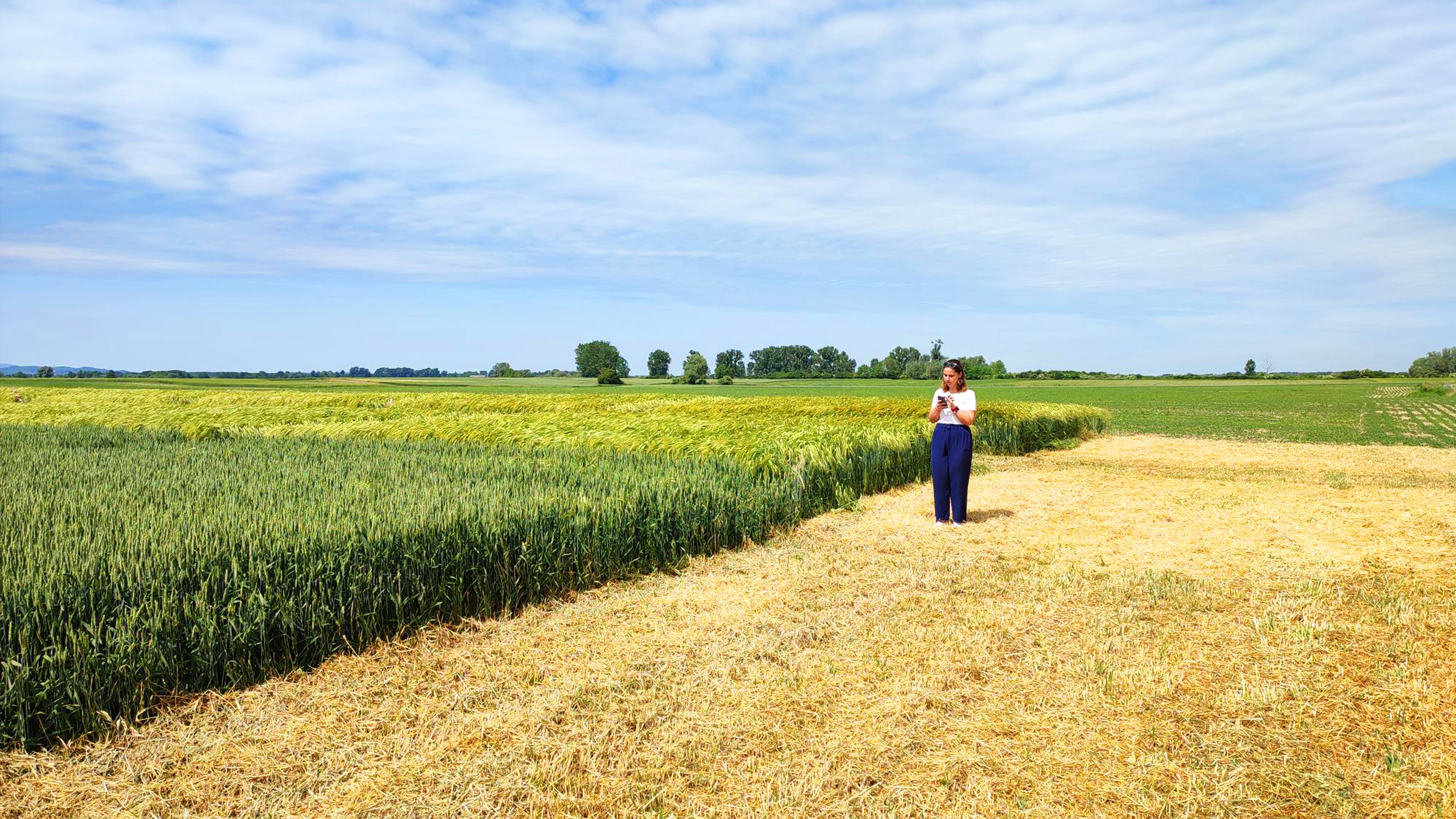
Ana Postek, of the Digital Agro team, said that “PIX4Dfields has proven to be the best software solution for agriculture purposes and multispectral analysis.” Thanks to PIX4Dfields, her team could carry out a detailed analysis of the fungicide across the trial plots and share their findings with their client in a helpful manner. The findings will be used in continued research and information shared with growers and agronomists about the optimal use of fungicides in treating crops.
