
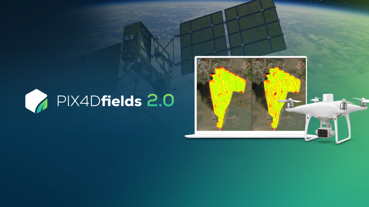
PIX4Dfields 2.0: the hybrid drone & satellite solution
PIX4Dfields offers accurate and offline crop insights based on imagery taken with drones. Now, thanks to the new "Satellite Data Import" feature, the drone data can be consolidated or pre-scouted with satellite imagery.
Using satellite and drone imagery for mapping in agriculture
The new update means you can now check on your crop from wherever you are and get invaluable information about what it needs in minutes. Our hybrid solution offers you full control over your time and money. The satellite data can be used to check on a crop prior to flying with a drone, or instead of drone imagery on days where weather prevents a drone flight.
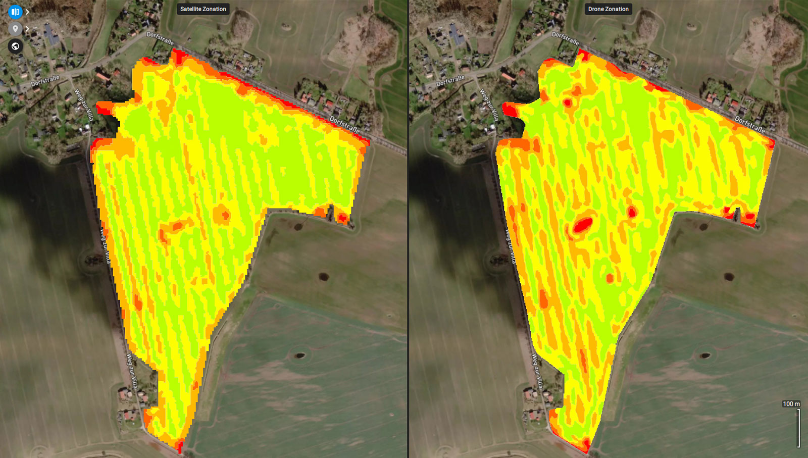
Get plant health maps with vegetation indices and plan your fertilizer treatments from the comfort of your home or office. In addition to maps based on drone imagery, you can freely access satellite data for your fields. The satellite data is provided by Sentinel-Hub and includes multispectral imagery.
How PIX4Dfields’ unique hybrid solution leverages your workflow
This new update gives you the opportunity to take advantage of data taken from either drone or satellite imagery. Revisit your field on a regular basis via satellite imagery without having to travel there. Keep track of the progress of your crop, plant health and stress status, as well as evaluate the effectiveness of a treatment you have applied.
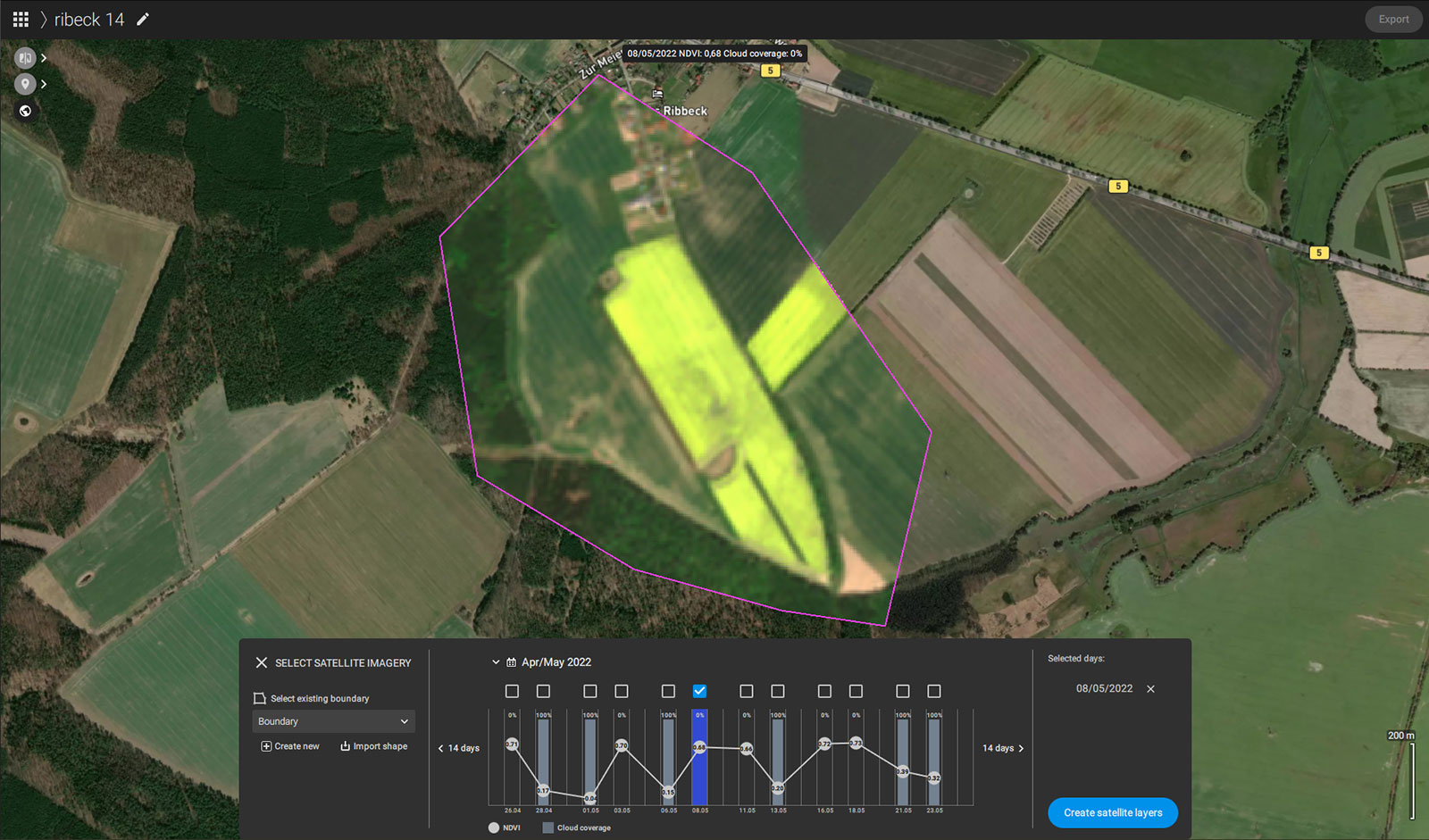
Plan your crop’s fertilization or get insightful data from anywhere and evaluate whether you should visit your field to further investigate a problem. Being able to regularly analyze your crop beyond RGB imagery with multispectral data and vegetation indices can give you valuable insights. See what the cause of a problem might be and how severe an issue has the potential to become before it has too great an impact. Take advantage of the best of drone data and combine it with satellite imagery to stay on top of your fields, all year round.


