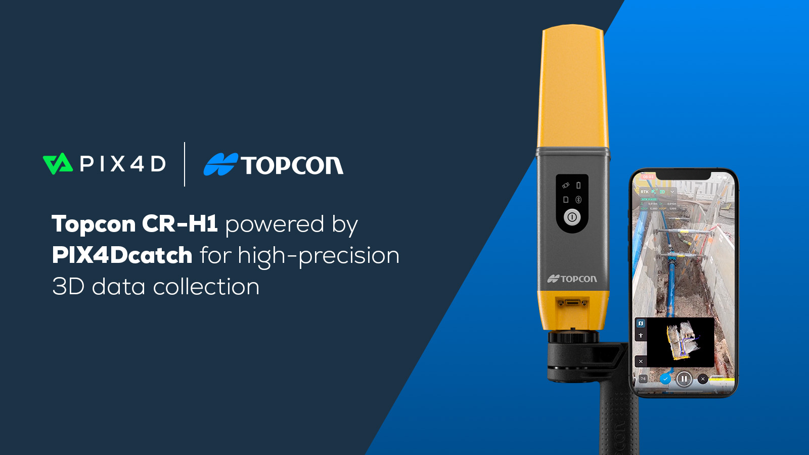
PIX4Dcatch: why you should be using it for site scanning
At Pix4D we want to measure from images - whether they are taken by drone, plane, or phone. This practice, which is called photogrammetry, is present in industries ranging from construction, to public safety to agriculture, helping solve complex challenges through analyzing 3D models or 2D maps. PIX4Dcatch is the latest addition to a professional's toolbox that is helping solve day-to-day challenges.
Getting the best of both worlds through PIX4Dcatch
Combining photogrammetry and LiDAR
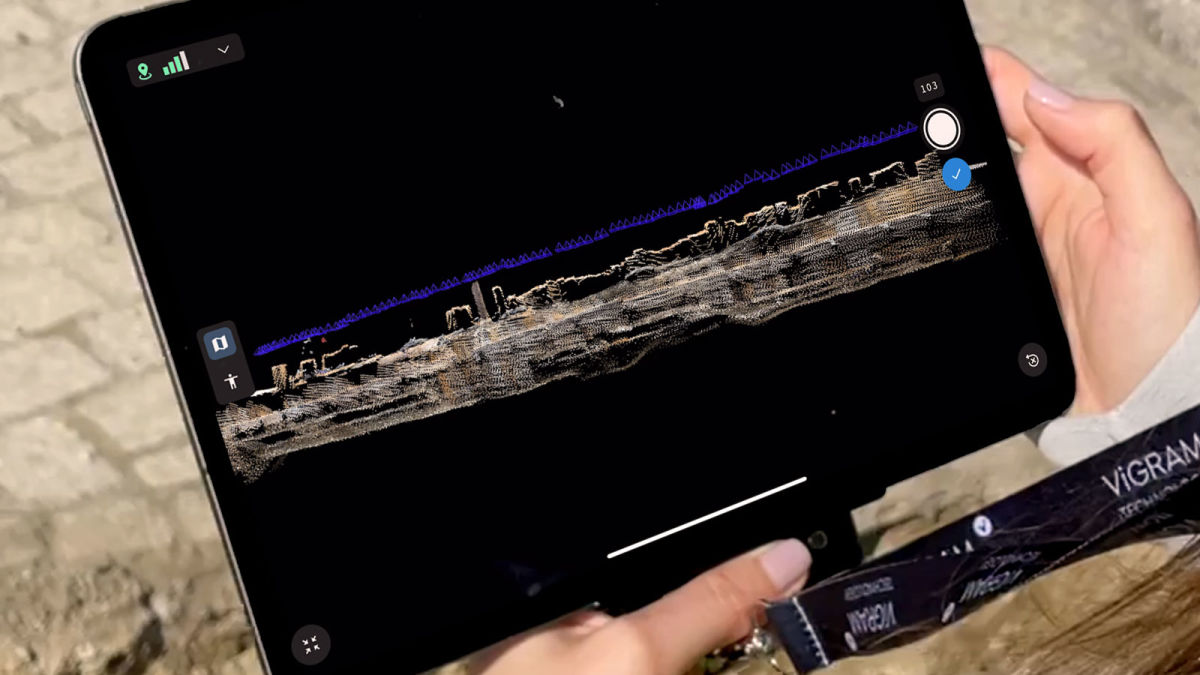
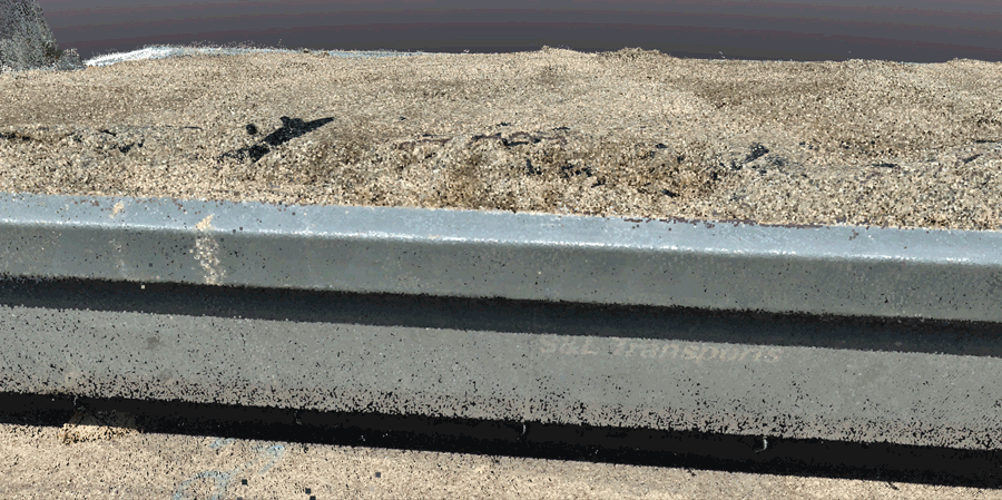
PIX4Dcatch is a mobile device app that uses the cameras on phones or tablet devices to gather ground level data. It has an instant feedback feature that allows you to see the area you are capturing as you move, meaning you can spot areas where you have not gathered enough data. The latest iPhones now include a LiDAR (light detection and ranging) sensor. This is essentially a laser beam that is sent out by the sensor. The laser is used to measure distances based on how long it takes the beam of light to return to the sensor after bouncing off objects around an area. It provides feedback on the coverage that helps users detect how much data collection is still required. Android devices also include a related function, a Time of Flight (ToF) sensor, which carries out a similar purpose.
LiDAR data doesn't just help with guiding the user during data capture, but it also helps to fill low textured areas that photogrammetry alone is not able to reconstruct. Photogrammetry can require more time and data for homogeneous surfaces. Here, LiDAR comes to the rescue and fills in those gaps. Both techniques have advantages and disadvantages: LiDAR is faster, but photogrammetry has more accurate results and greater coverage.
Now, users don’t have to choose between using LiDAR and photogrammetry data. They can take advantage of the power of both with PIX4Dcatch. Even without a LiDAR or ToF sensor, PIX4Dcatch still empowers users to make models from handheld devices. These devices will capture images and use the classic photogrammetry workflow, running on iOS version 13.4 or higher or Android version 9 or higher - for further technical information, check the PIX4Dcatch FAQ page.
Get accurate 3D models with the RTK rover
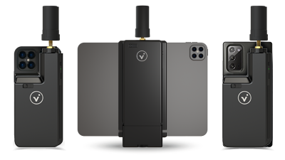
PIX4Dcatch can be paired with the RTK rover for iPhones and iPads which provides geolocational data to an accuracy of less than 5 centimeters. This means that selected Apple or Android devices can go from being consumer devices to professional handheld surveying tool.
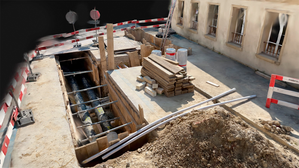
Gather insights of your terrestrial 3D-models
Users of PIX4Dcatch can automatically upload projects to the PIX4Dcloud platform. Measure distances, calculate volumes, add annotations, run virtual inspections or share the outcomes with stakeholders through PIX4Dcloud, entirely online. Alternatively, processing is also possible with PIX4Dmapper and PIX4Dmatic. The first of its kind, the recent update of PIX4Dmatic 1.19 means that users can fuse LiDAR point clouds with photogrammetry ones. That means you can choose whether to use the dense point cloud or the depth one, or both. More control and more detail is available for projects
A professional tool for daily use
PIX4Dcatch is a fast tool that is easy-to-use thanks to its user-friendly design and structure. Combined with modern technology like LiDAR and ToF, the 3D models deliver increased accuracy, and the outputs are ready for professional use. Not only that, but PIX4Dcatch is a flexiblie tool, being used by people around the world in a range of industries. Whether it is scanning construction sites to create a digital twin or iff users follow the best practices, they can get professional-grade 3D models from a consumer mobile device.