PIX4Dcatch: get the best models from your mobile device
After months of lockdown and limits on going out, William Hawkins has enjoyed being outdoors again. As a geologist with experience in surveying complicated structures, he is used to collecting data to process in Pix4D software. With the arrival of PIX4Dcatch and a new iPad Pro 2020 over Christmas, Hawkins got to work trying the app out in the field. He’s made over 50 models since then and has set up some workflows to get the best out of the 3D scanning app.
In this article
Working with appropriate hardware
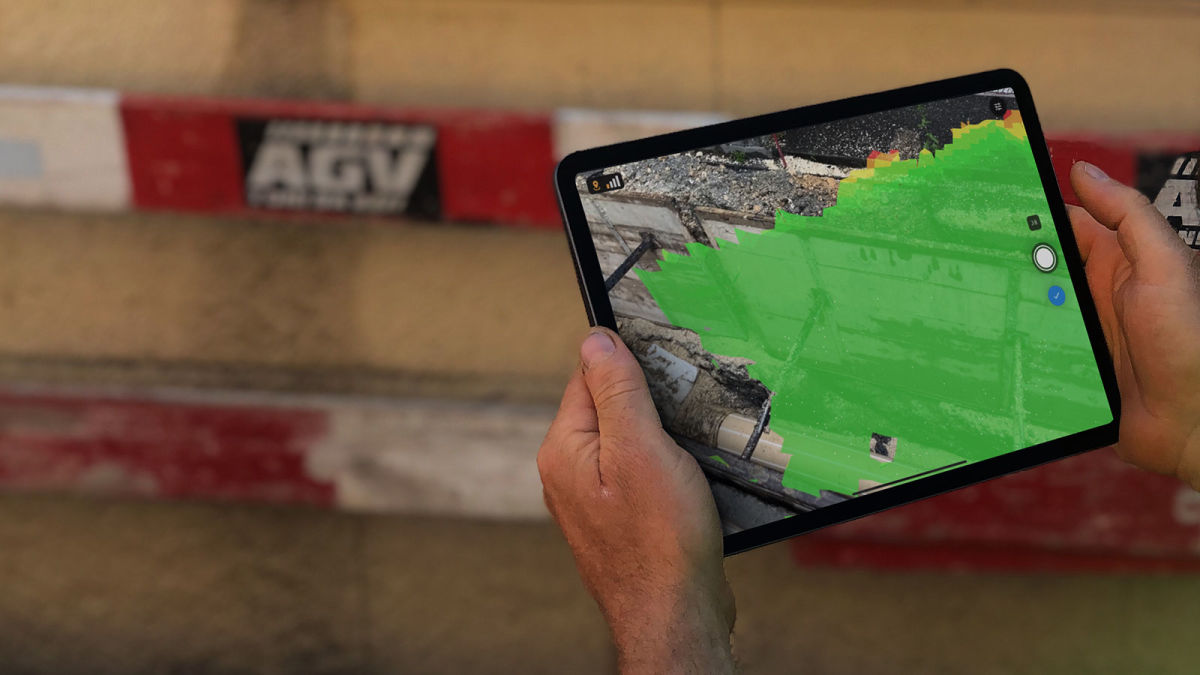
For hardware, Hawkins uses the iPad Pro 2020. This iPad has a built-in LiDAR scanner that guides the user on optimally covering the area of interest. This means it will help the PIX4Dcatch app detect if some areas need to be rescanned.
PIX4Dcatch is also available on Android devices (version 9 or higher) that are integrated with a ToF (Time of Flight) sensor. These sensors create depth maps that are capable of producing 3D models similar to LiDAR. Incorporating LiDAR and photogrammetry data together can strengthen the accuracy of data.
Careful data collection
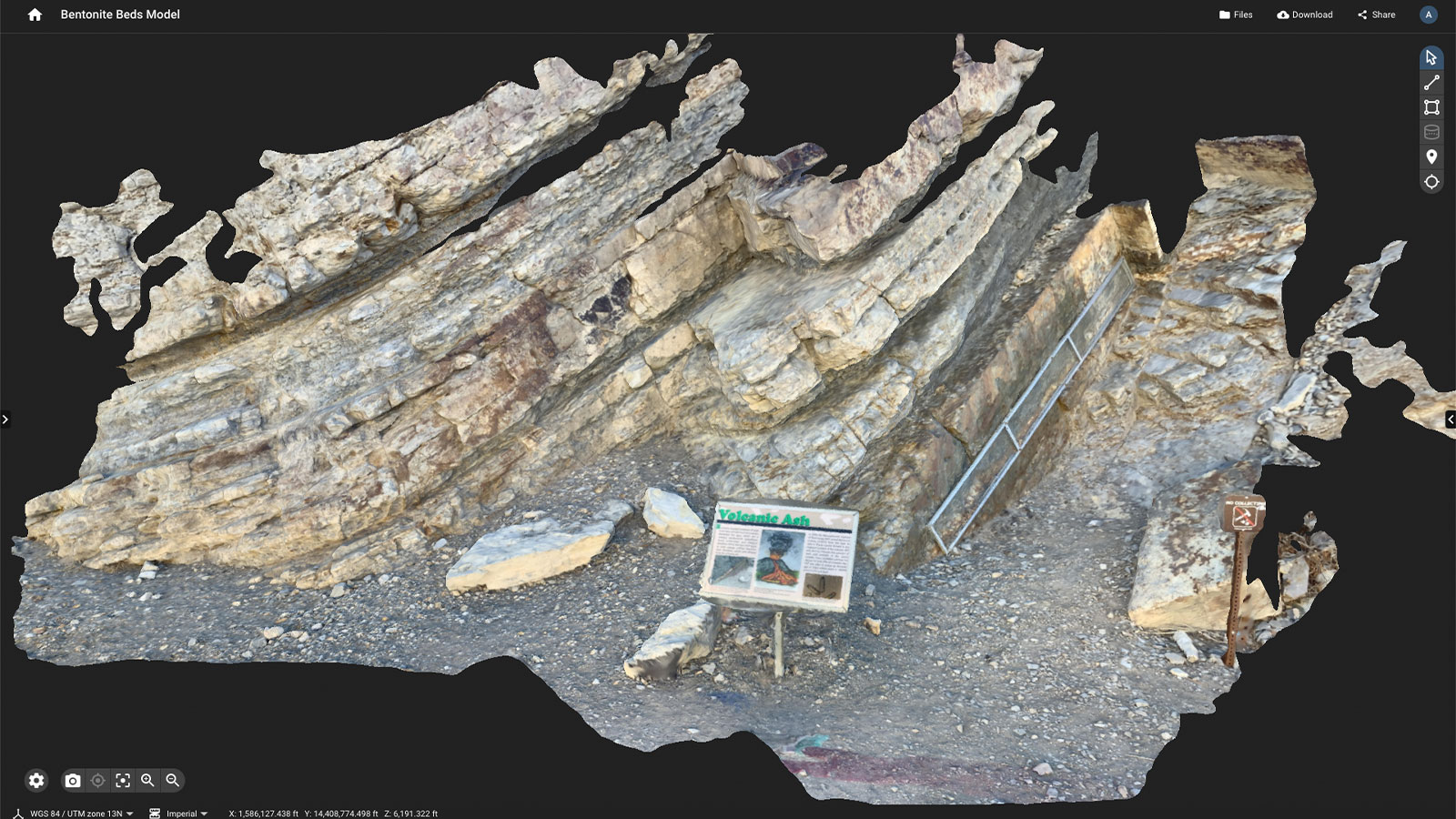
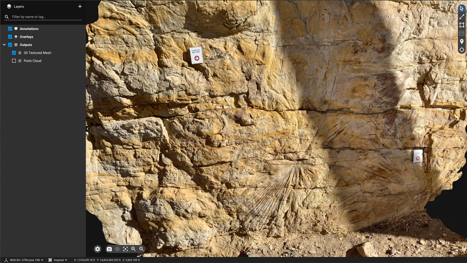
Hawkins is a geologist and is used to looking at the smaller details. When he uses PIX4Dcatch, he has found that the way to get the best results is to walk all around the subject and thoroughly cover it from different angles. This allows for higher image overlap which renders good results in processing. Moving slowly is also important - the app has a notification on iOS devices to help with this. The total data collection can often be quite quick, but rushing it will only cause issues later on. It is best to take a few more moments in the field than regret it after processing.
Hawkins also suggests getting close or low if your subject is small or on the ground. In addition, because data collection happens while a user is moving around, it is best to hold the data collection device with two hands to help keep it steady.
Having generated dozens of models, Hawkins knows that practice helps, but so does patience. Using the right path to collect data will help make the whole process smoother and render better end results. That’s why he takes a route all around his subject where possible, gets in close, and moves in a slow, steady fashion. He also recommends being careful of your surroundings - don’t get so absorbed in the data collection that you get in someone’s way or trip.
Processing data collected with PIX4Dcatch
When it gets to processing, Hawkins uses either PIX4Dcloud or PIX4Dmapper.
Hawkins took 3 minutes for data collection as a practice project. He then used his phone’s mobile hotspot to send the data to PIX4Dcloud. The processing took just 20 minutes. By the time he went back home, the project was ready to use. The result was a sharp, clear model.
He has also found that reprocessing on PIX4Dmapper gives him more control over his data to get better results. This is especially useful for his work with geology, where minute details can signal a huge discovery.
Potential mistakes in mobile 3D scanning
There are some obstacles Hawkins has come across. The main one is that the GPS on an iPad can be quite inaccurate. There are some cases when it is accurate, and others where it is tens of metres off. This can be a problem when users need an accurately georeferenced model, so it helps to make sure the device’s GPS service is calibrated prior to image capture. Alternatively, a surveyor can use the RTK rover to get accurate geolocations to within 5 centimeters.
Hawkins has found that reviewing the camera path he took in the PIX4Dcloud quality report could help him identify which models came out better. He gets the best results when he moves around the object spatially, rather than just moving the iPad around. This helped capture better details and reduced the number of blind spots. The image capturing process can be paused when repositioning the iPad which results in better image coverage and better models.
What’s next with PIX4Dcatch?
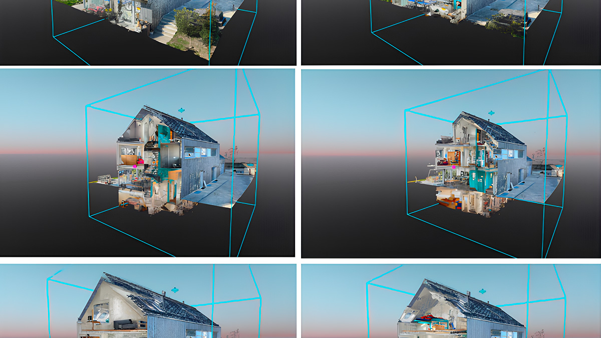
William Hawkins has significant experience in surveying and inspecting small, specific geological features as well as larger sites. He has found that the PIX4Dcatch app offers a new level of detail and insight that will be useful for a variety of industries. This includes small-scale models, such as surveying delicate artifacts, as well as larger projects like work on construction sites and modeling trenches and new structures.
“I can see this being an important tool for industry and research. Every geologist, archaeologist, paleontologist, as well as construction site inspector should use this app.” - William Hawkins
Furthermore, the models generated on PIX4Dcloud are easily shareable and are great for sending to colleagues in different locations and sharing data from a site in the field with a team in an office.
PIX4Dcatch is now partnered with the RTK rover, which allows users to achieve geolocated 3D models with survey-grade accuracy from an iPhone or iPad. This offers surveyors the opportunity to turn their mobile device into a fully-functional, portable 3D scanner that uses both LiDAR sensors and RTK positioning to ensure accuracy. It’s the next step in making surveying and mapping easier than ever before, right from your pocket.