
Pix4Dmatic 1.11: improved marking and new status center
The release of Pix4Dmatic 1.11 has a new set of updates that make large projects mapping even more intuitive and easy. This includes improved marking, a status center, and new features for import.
Improved point marking
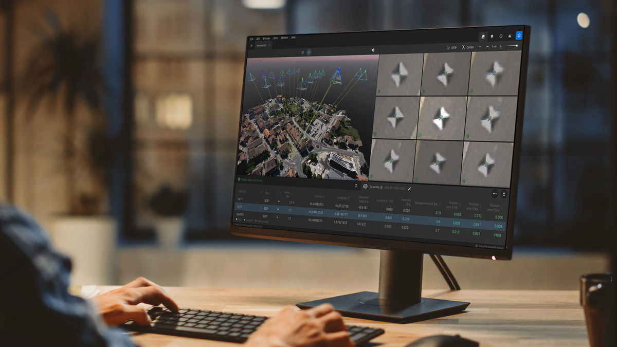
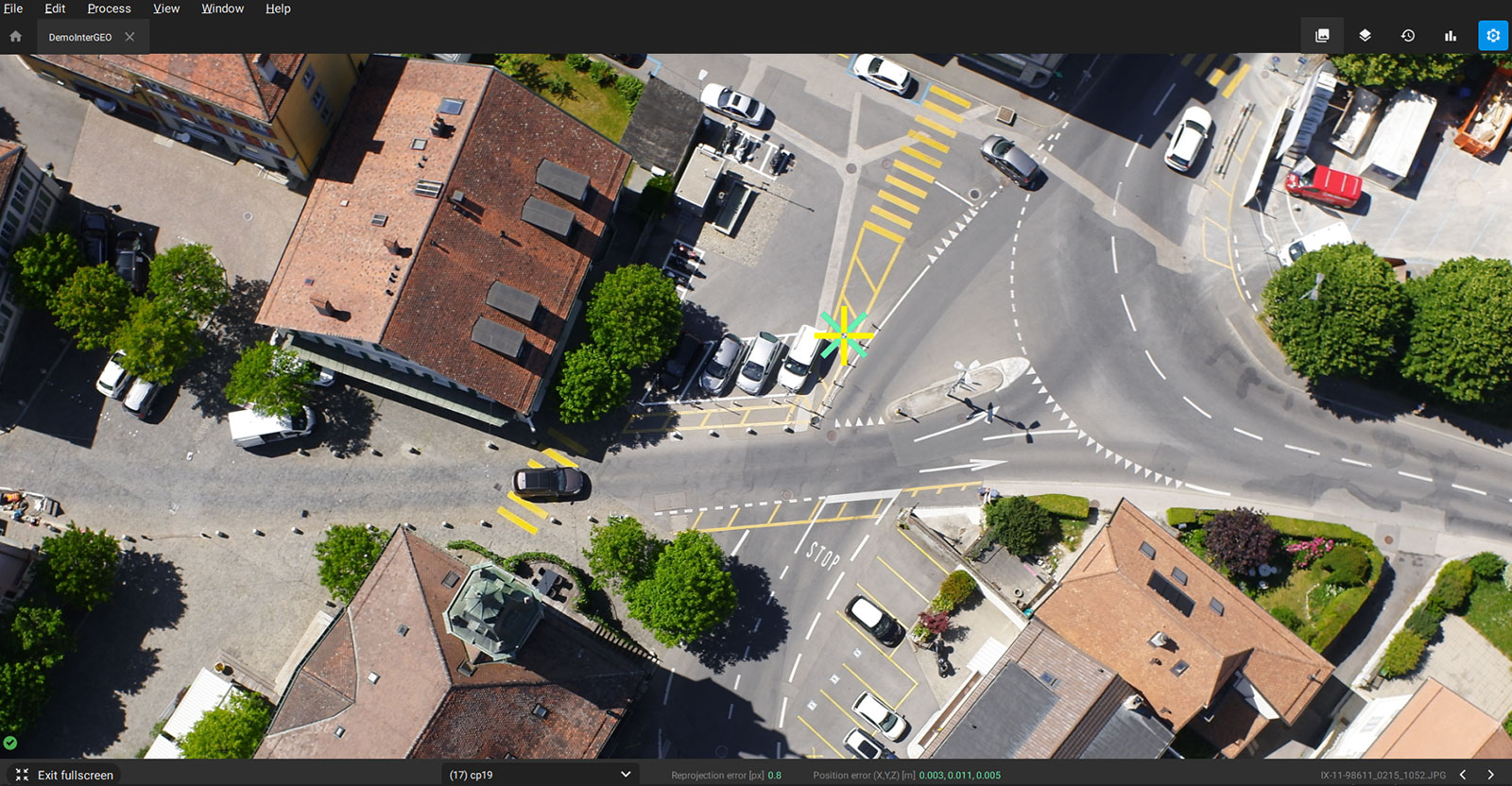
The Marking tools have been updated to offer better performance and new options, such as starting to mark images directly in the image viewer, as well as view up to 6 columns of images in the rayCloud and up to 9 in the maximized image viewer. There is also a new full-screen image view - accessed with a spacebar shortcut - as well as the new default sorting method where images are sorted by distance.
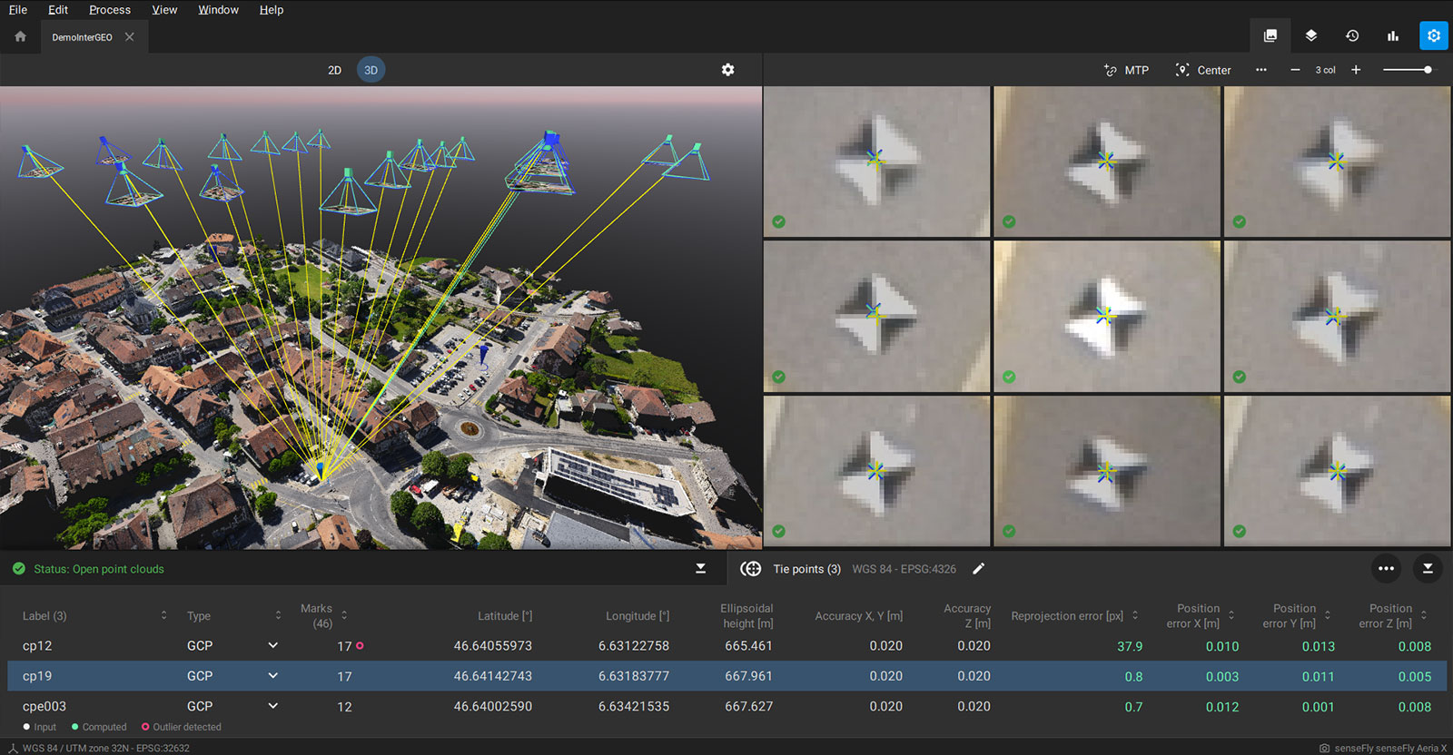
The new toolbar on top of the image viewer enables you to create a new MTP, reshuffle and center the images after a few marks are made, select the number of columns, and transition to a maximized image viewer amongst other features. This, alongside working with GCPs, helps improve the overall accuracy of a project and makes the workflow easier.
Finally, columns in the tie points table can be sorted to improve the quality assessment during marking or after calibration, such as sorting tie points by position or reprojection error. These tools are key to improving and fixing projects where calibration is not successful by adding Manual Tie Points and vastly improving the marking experience for GCPs and Checkpoints.
These tools provide you the control you need to ensure the delivery of your projects at the desired level of accuracy. Additionally, they will cut the manual work and time required, saving users time and money.
The Status center: stay up to date with your project
Processing a large dataset can be time-consuming, which is why Pix4Dmatic includes information on what the software has completed during the process, as well as user actions. This is enhanced with automatic notifications as processing continues. This feature makes the software more transparent for users, reducing the unknowns of processing and the status of a project. It also helps identify issues during processing as they occur, notifying users as it happens.
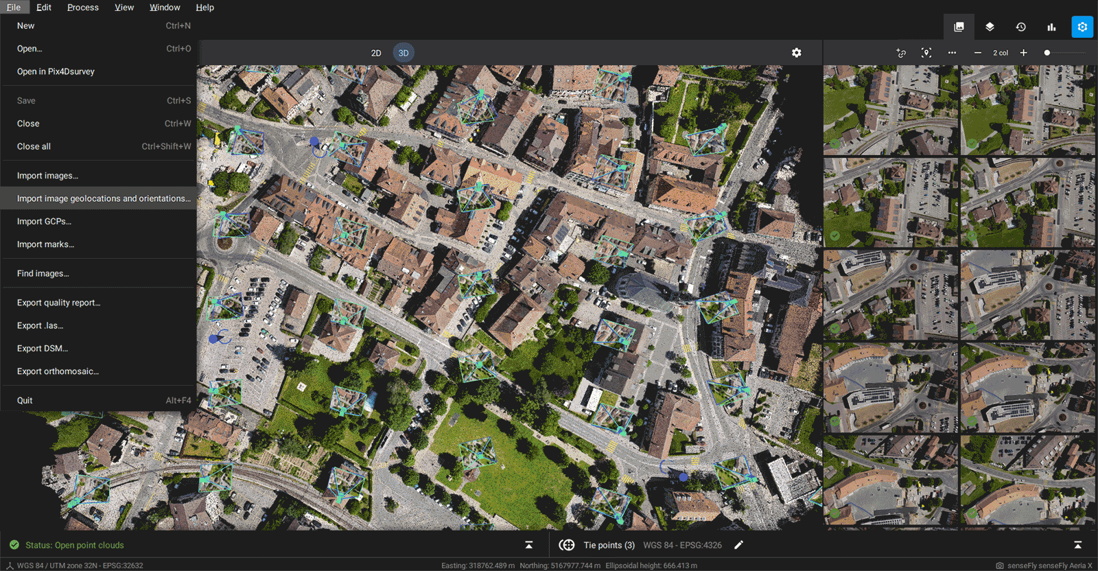
Import formats for geolocations and image orientation
The import of .csv and .txt files for geolocations and image orientations is now supported in Pix4Dmatic. As the software requires the geolocation and orientation of images, the new update means users can import images without this data and import that information from a .csv or .txt file instead. The images still need to have other EXIF/Xmp formats that are required. The coordinate system of the image geolocation and orientation can be selected for the import, which enables PPK workflows or workflows where users want to transform their input images’ geolocation and orientation in 3rd party software before processing.
Pix4Dmatic is a powerful, fast software that can handle large datasets of over 10,000 images. It has been used in recent projects to model wind turbines, survey a disused coal power plant and even map the Faroe Islands. Try it for yourself. Download it for free and explore the demo datasets.
| The Pix4Dmatic release notes have more information about the latest version of Pix4Dmatic as well as previous updates. Please refer to the feature list for more details on product features. |


