Agricultural research
Providing the right tools for data collection and analysis on trial plots
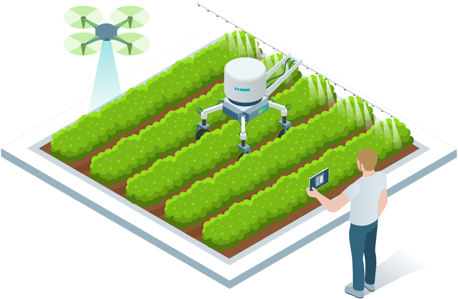
Improving agricultural research with accurate data
Remote sensing and image-based techniques have significant advantages over manual rating methods:
- Drone-based remote sensing can cover experimental areas faster and more frequently than manual processes.
- Remote sensing can measure the entire area of a trial plot, not just the points individually selected by the field worker.
- Remote sensing data becomes comparable over time and under different environmental conditions.
- Quantitative and qualitative, machine-derived data reduces human, individual sources of error.
- Image-based techniques and software tools allow a high degree of automation in data acquisition and processing.
Drone-based sensing can address several elements of phenotyping and botanical rating:
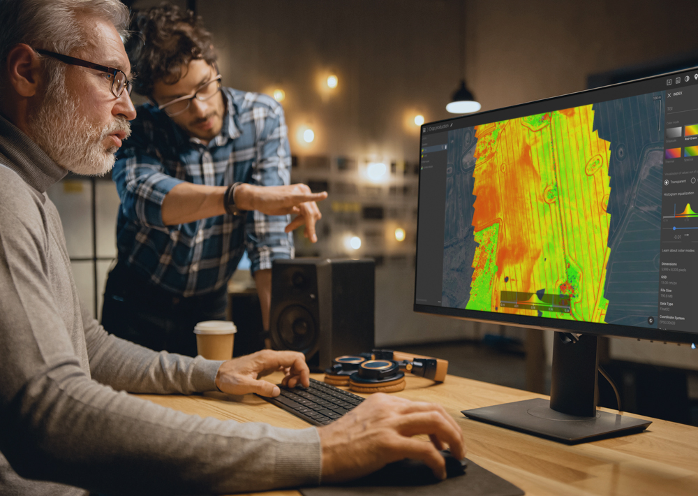
- Area measurements in multispectral orthomosaics provide an accurate, quantitative overview of biomass, indirect N distribution, stress factors, or dry mass.
- Statistical mean values and standard deviation values for index maps and digital surface models can be determined automatically.
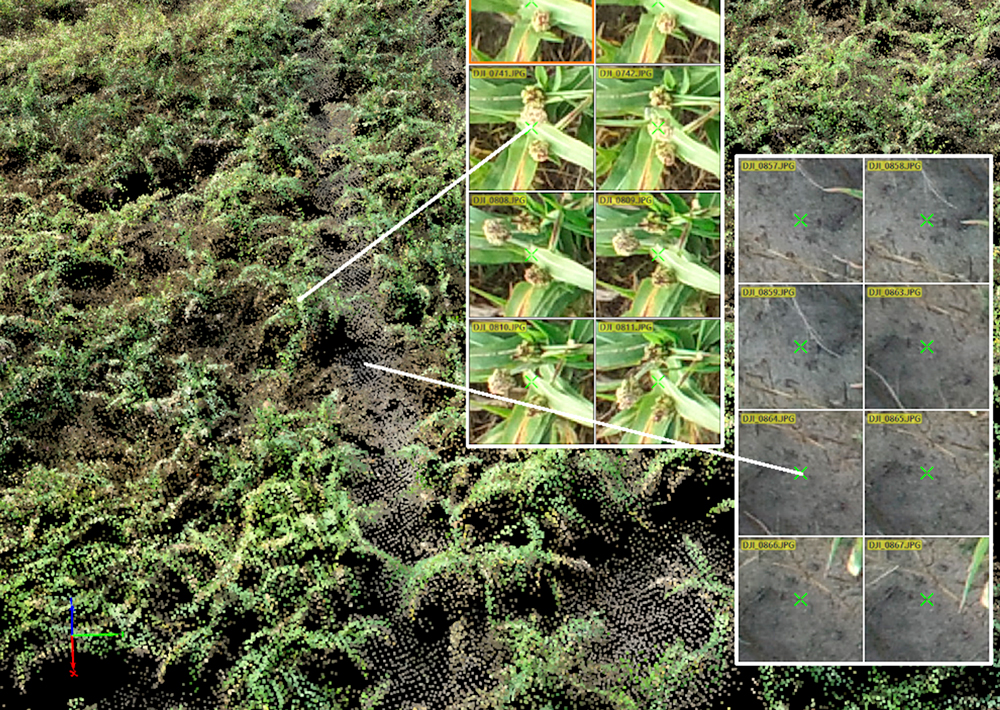
- High-resolution orthomosaics allow precise counting of plants or even leaves.
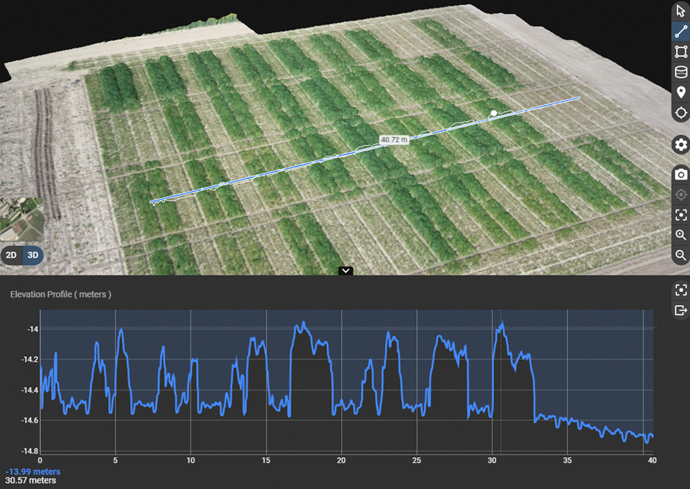
- Photogrammetric techniques help precisely calculate the height of vegetation on a field or trial plot. Compared to laser scanners, this solution is more cost-effective and offers higher data resolution.
Agricultural experiments made easy with Pix4D and drone mapping

A complete set of software tools for trial plot management tasks

Advanced agriculture mapping software for fast mapping and analysis in-office and in-field.
Learn more

Advanced photogrammetry software for measuring volume and creating 3D or digital surface models.
Learn moreExplore how Pix4D products are being used in agricultural research
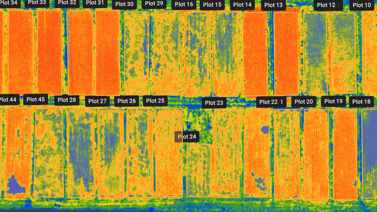
How to use PIX4Dfields for trial plot management
Learn how PIX4Dfields is used to provide plot level statistics and understand the impact of different agricultural techniques over the crops.
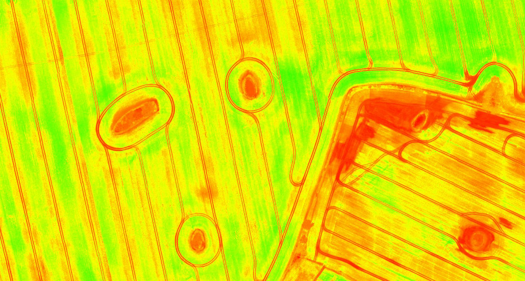
The importance of vegetation indices in precision agriculture
One solution to better crop management lies in the use of precision agriculture technologies. Learn why vegetation indices have a crucial role.
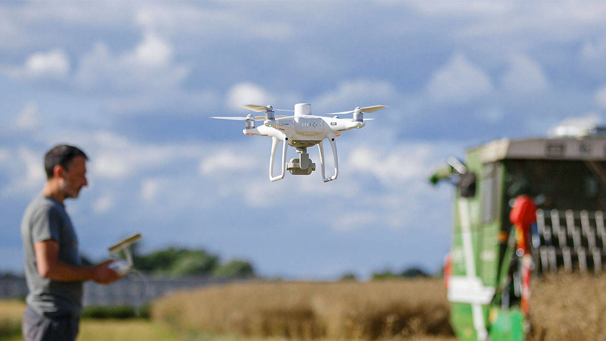
[Whitepaper] Multispectral image analysis of arable land
Discover how variable rate applications can help the agriculture industry keep up with the challenge of higher food demand on production.
Get started today
Explore how Pix4D is used for sustainability and farm management


