
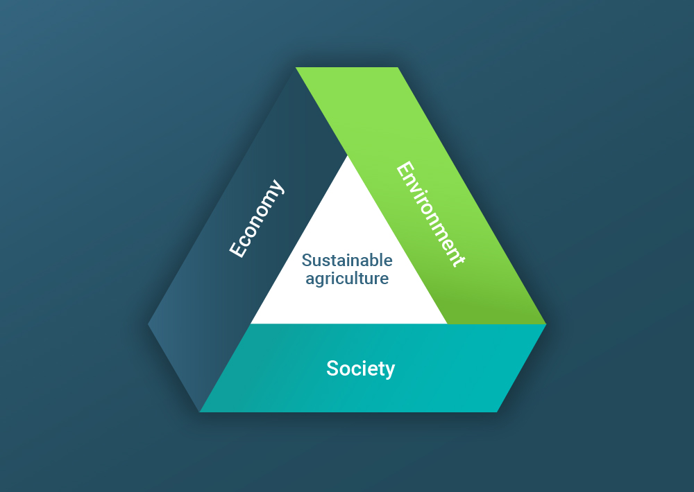
Sustainability in agriculture
Tackle the present society's agricultural needs in a sustainable way for a better future
Agricultural challenges
The worldwide agricultural industry will undergo substantial changes in the next few years. The protection of the environment and the fight against species extinction will lead to new technologies, laws and greater sustainability in our work processes and human behaviour.
At the same time, we expect the human population to reach 11 billion by 2100, with the majority of people living in cities. Sustainably feeding the world will become a key challenge for the future generations.
Our solution
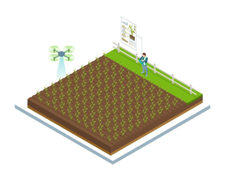
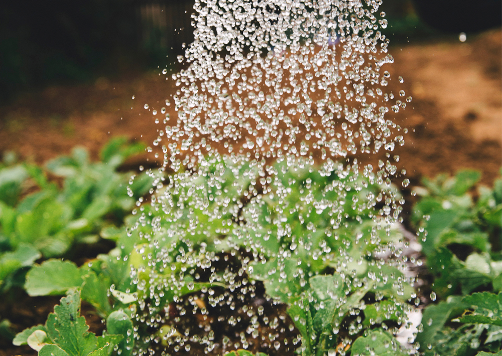
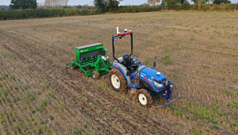
One answer to the challenge of the resulting higher food production demand, while minimizing the environmental footprint in arable farming, is the concept of variable rate applications. A detailed understanding of the growth state, stress factors, diseases, and pests for parts of a field or even individual crops will allow specific and “smart” applications of water, fertilizers, and pesticides according to the actual needs.
The principle of applying agrochemicals and water only where needed and up to the amount required will help reduce the environmental impact of arable food production while saving operational expenses for farmers.
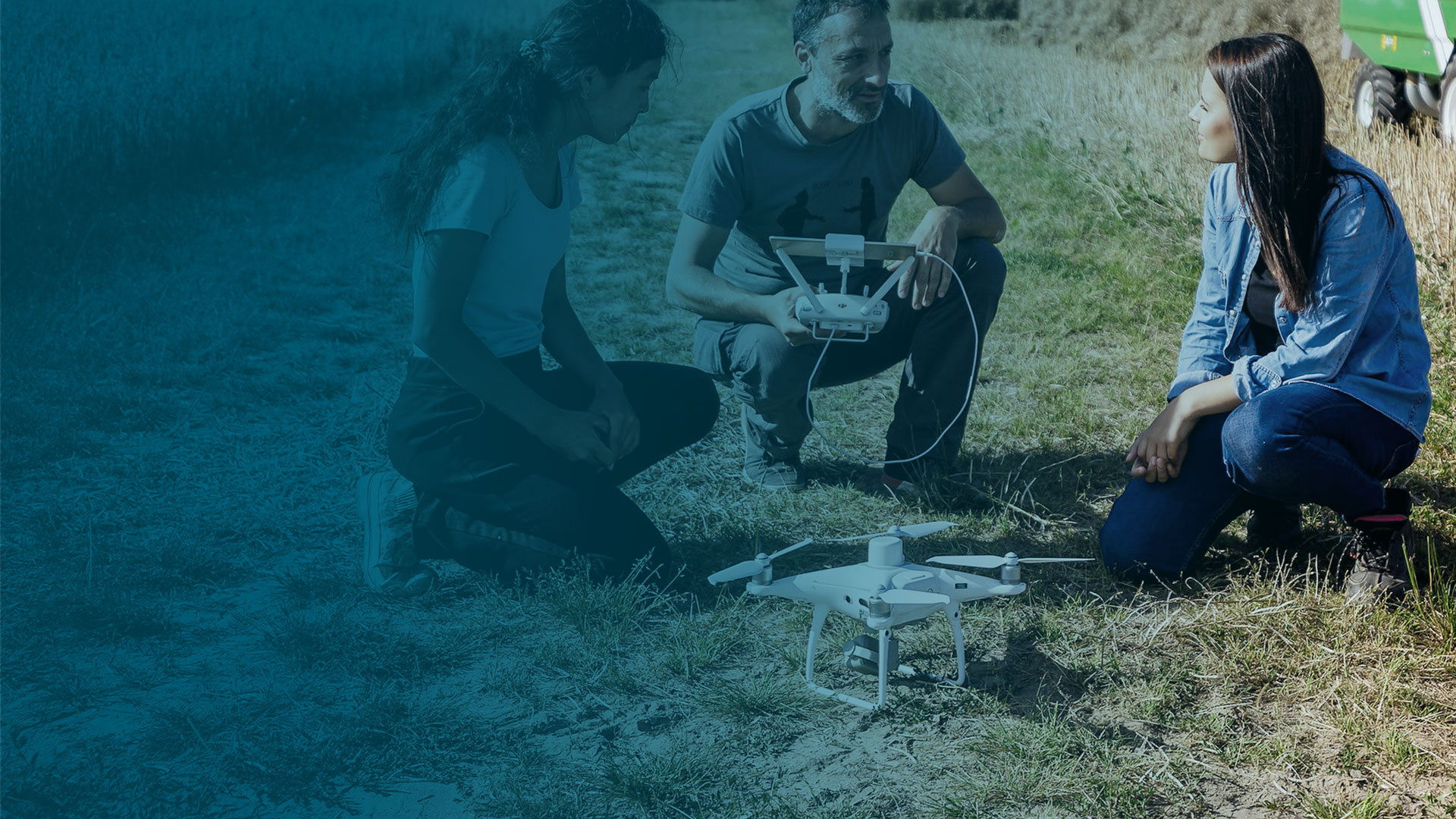
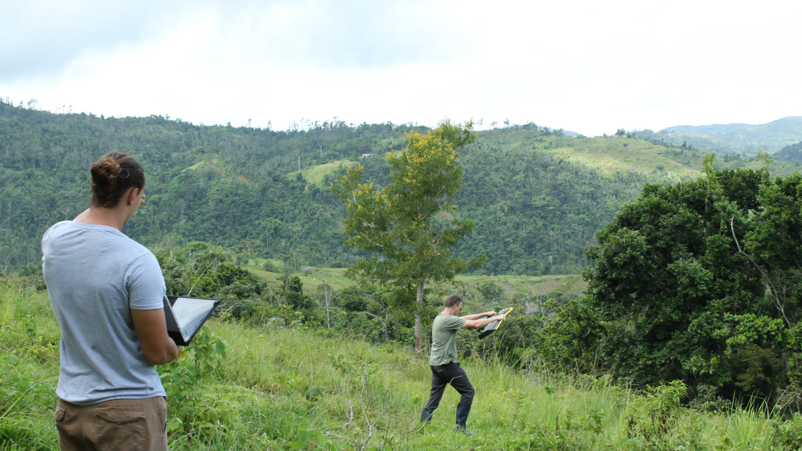
Drone mapping for sustainable agriculture
Feeding generations in a sustainable way while protecting the planet
Environmental, biodiversity and ecosystem services are essential for achieving food security and nutrition now and in the future.
In order to protect our planet and secure a healthy environment for global food security, methodologies like precision agriculture play a key role towards improved sustainability.
Conserve biodiversity and protect the environment for future generations
Agricultural sectors are major users of biodiversity and if managed sustainably, can contribute to important ecosystem functions like soil and habitat conservation, pest control, carbon sequestration and many more.
Instead of using greenhouse gas-emitting equipment or manual inspection, drones have been a more sustainable way to map and inspect agricultural areas. By analyzing factors such as vegetation growth and soil health, farmers are enabled to determine where intervention is required and if they should use more or less resources.
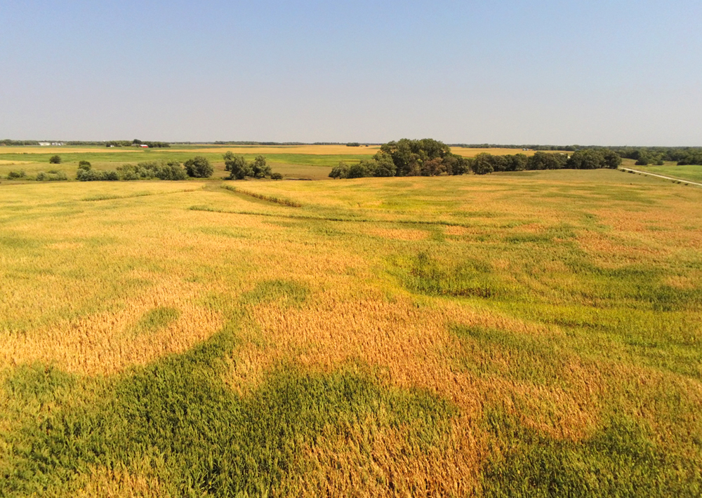
Sustainable arable farming helps you use less to achieve more
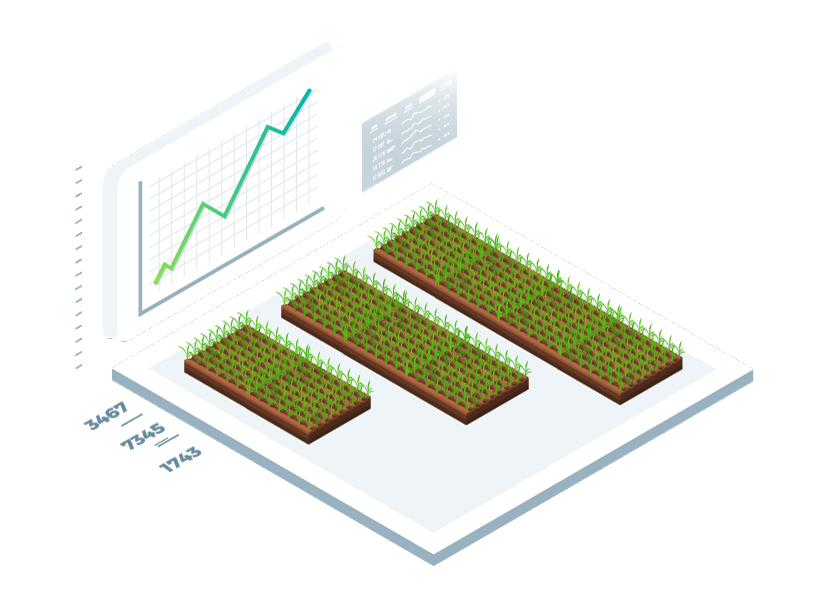
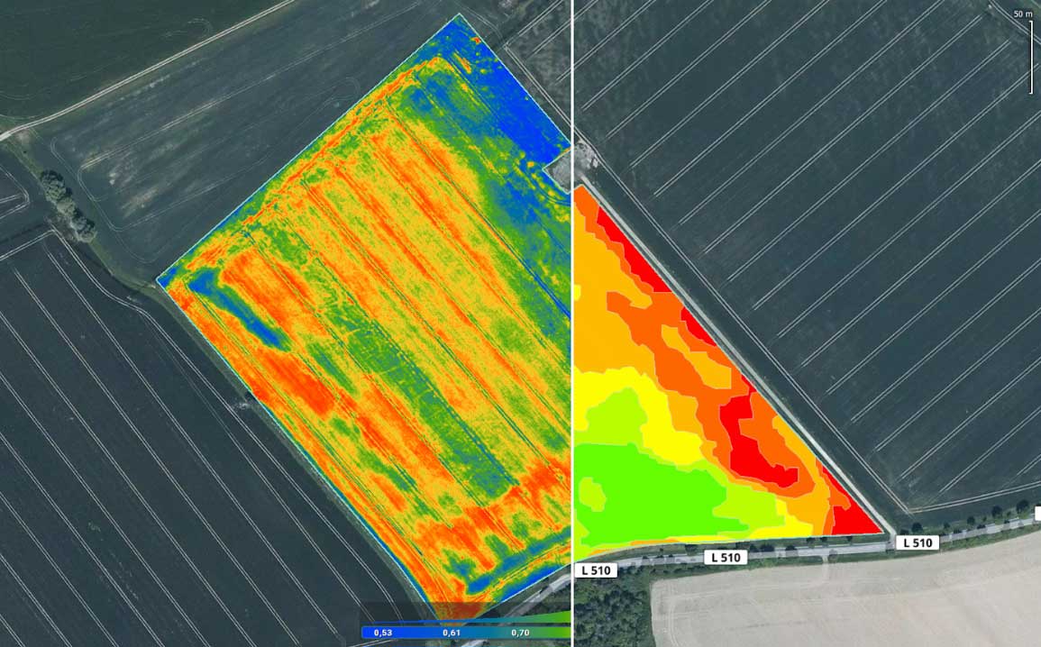
Farms and fields differ in size and crop species. Subsequently, every part of the field has different requirements. Pix4D offers software that classifies fields into different zones and enables knowing exactly where to apply more or less resources.
By having an action plan for using different zones, farmers can apply nitrogen, water or pesticides only where needed, resulting in saving time and valuable resource supplies.
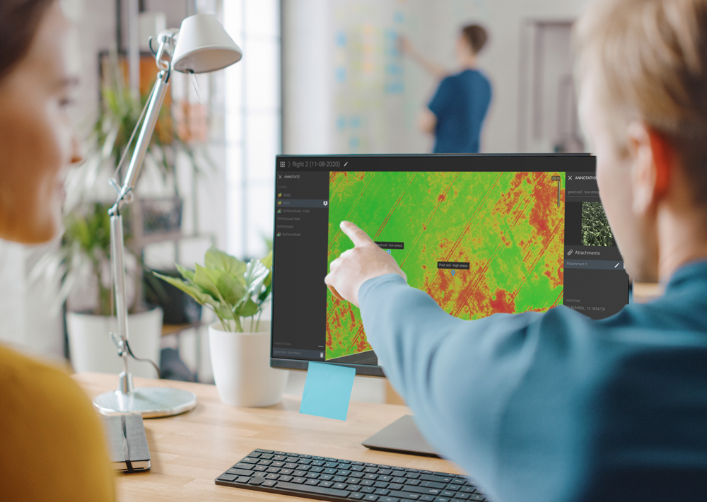
New tools for sustainable management practices and strategies
Collaboration in the agri-food supply chain for achieving sustainability is essential. Having the right tools speeds up the process of sharing and integrating the new practices but also helps to build the awareness around the importance of sustainability.
Spatial information helps to explain where, what and why certain things need to be done and visually aid to see the bigger picture of what fields and crops need.

A complete set of software tools for environmentally friendly agriculture


Advanced agriculture mapping software for fast mapping and analysis in-office and in-field.
Learn more

Advanced photogrammetry software for measuring volume and creating 3D or digital surface models.
Learn moreExplore how Pix4D products are being used for sustainable agriculture
Drones measure climate change’s impact on agriculture
Scouting, mapping or collecting data - drones are proving to be a vital tool in assessing and mitigating the effects of climate change.
The importance of digital agriculture during a pandemic
Exploring and implementing remote sensing technologies in agriculture with drone mapping has been a necessary step in bringing social distancing to the farm.
Internet of Fields: Drones & variable rate application
For variable rate fertilization to be most effective, farmers need an overview of their fields. That’s why more and more farmers use drones and precision agriculture for creating prescription maps.
Get started today
Explore how Pix4D is used for farm management and agriculture research