
[Whitepaper] Multispectral image analysis of arable land
The global agricultural industry will undergo substantial changes in the coming years. The protection of the environment and the fight against species extinction will lead to new technologies, stringent laws, and greater sustainability in our work processes and human behavior. At the same time, we expect an increase in the human population of up to 11 billion by 2100, with most people living in cities or urban areas.
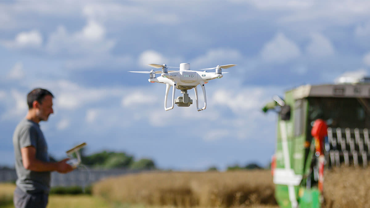
One solution to the challenge of increased demand in food production is the concept of variable rate applications, which minimizes the environmental footprint in arable farming. A detailed understanding of the growth state, stress factors, diseases and pests for parts of a field or even individual crops will allow specific and “smart” applications of water, fertilizers, and pesticides according to the actual needs. This in turn massively reduces waste and the strain on valuable resources.
In this paper, we outline the state-of-the-art process of variable rate applications. We give an outlook into the future of multispectral and hyperspectral sensing technology in arable farming and how this technology can share valuable information for crop analytics in plant protection and crop production processes.


