Interviewing a surveyor: how mobile scanning changes it all
Surveyors are professionally trained to measure and validate sites with a huge range of assignments that include anything from monitoring construction for a film studio to surveying a site prior to demolition work. We talked to Sunbelt Rentals UK’s Business Development Manager for Survey, Graham Sharp. He told us about the challenges of surveying, PIX4Dcatch RTK, and what he expects next for the industry.
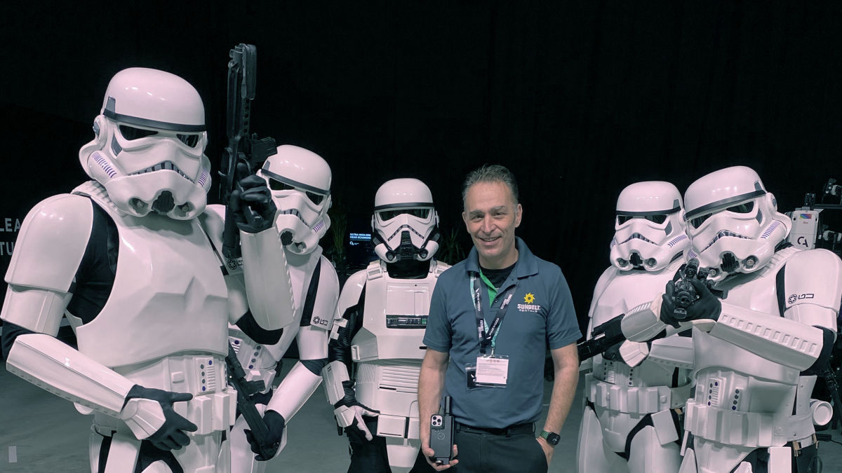
Graham Sharp recently attended an event at Pinewood Studios, London, where he was able to showoff his mobile scanning toolkit to members of the Empire, as seen in this blog's title photo
To start with, what do you do and what are your typical projects?
“I’m an engineering surveyor with a long career in the industry. I’ve been a site engineer for a consultant group called Atkins. There I worked on major motorway and transportation projects before moving into equipment sales with several different suppliers and manufacturers of solutions, including Pentax, Topcon, Leica, and Trimble. I’ve been able to work on some exciting projects including the Gherkin, the Millennium Dome (now known as the 02 Arena), the Olympics Village, and the Shard - to name a few. These are all buildings you’ll notice if you ever visit London!
I currently work as a Business Development Manager. I move between surveying disciplines to research and test new solutions that can solve old surveying problems. This includes traditional land or building surveys, BIM, digital twins, and construction. At Sunbelt Rentals UK, we work with multiple brands to collaborate, research, and provide effective solutions for our customers. This includes a huge portfolio of products for hire and sale, training, technical support, and services.
I’m an avid gadget junkie in my free time, which makes testing new technology even more exciting as I get to combine my hobbies with my work."
Sunbelt Rentals UK have included the PIX4Dcatch RTK workflow in their hire fleet. What do you think of it?
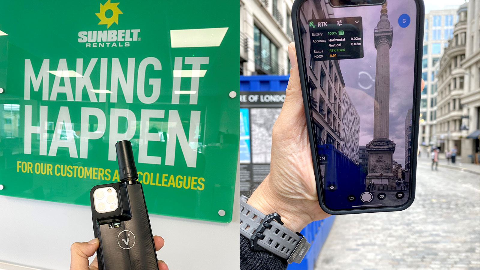
"The viDoc RTK Rover, as part of the PIX4Dcatch RTK workflow, is the possible answer to many problems that I have encountered over the last 25 years in cross-industry projects. The rapid point cloud and imagery collection with RTK accuracy are compounded with a simple workflow in a portable device.
When we received the rover, I thought it was very compact and easy to set up and use. This is great for a tool working straight out of the box because it is easy to use, which means you won’t be facing large costs for training site workers to use it. There are many devices on the market that have some elements of the viDoc - portability, accuracy, ease-of-use - but not one that combines them all in the same way that makes the workflow so user-friendly like the Pix4D solution.
The benefits of the viDoc RTK rover include the low cost, fast-learning curve, and high performance for GNSS-positioned reality capture. It’s got clear applications in construction and surveying, and I fully believe that this will provide an answer for a wide range of industries calling out for accurate mapping and image-based data capture that can be implemented by non-surveying staff. The more we present this solution and its capabilities to new industries, the more interest and uptake we see."
How are you currently using mobile scanning?
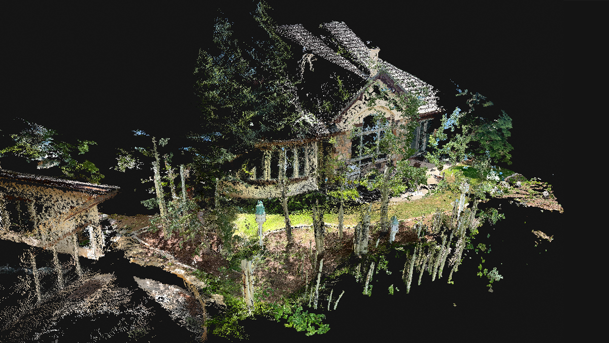
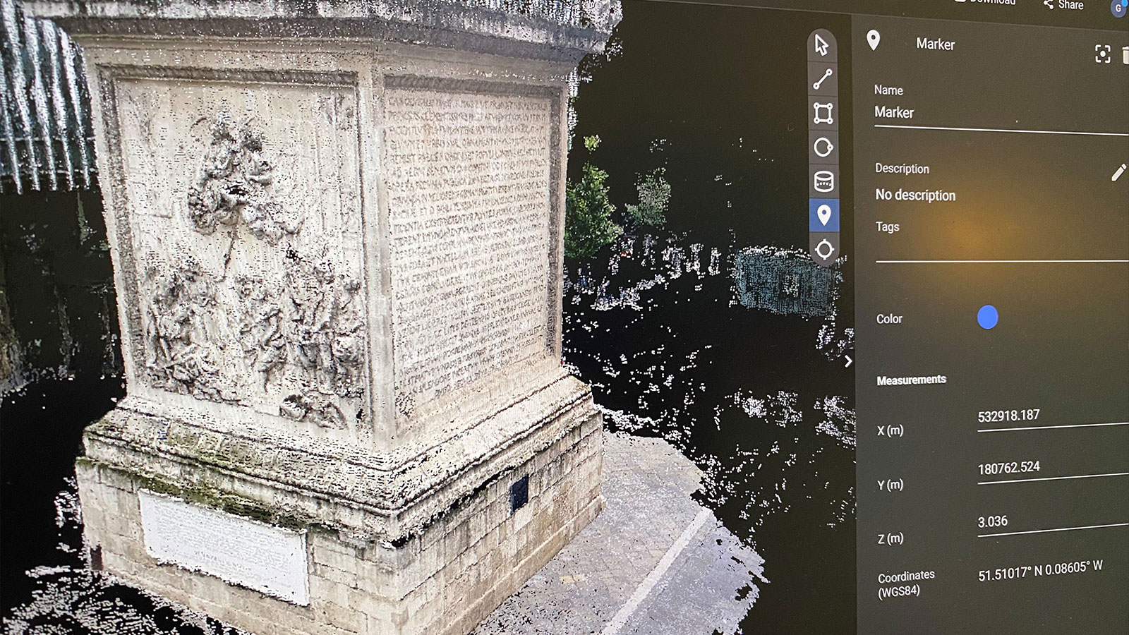
"Typical projects with the PIX4Dcatch RTK workflow have so far included infill for mobile mapping, digitizing utilities, and stockpiles, as well as external facades for building surveys or construction site progress tracking. The rover's RTK GNSS positioning and point cloud data have been the major interest for our clients and users, whilst the imagery captured with PIX4Dcatch is an appealing added level of detail.

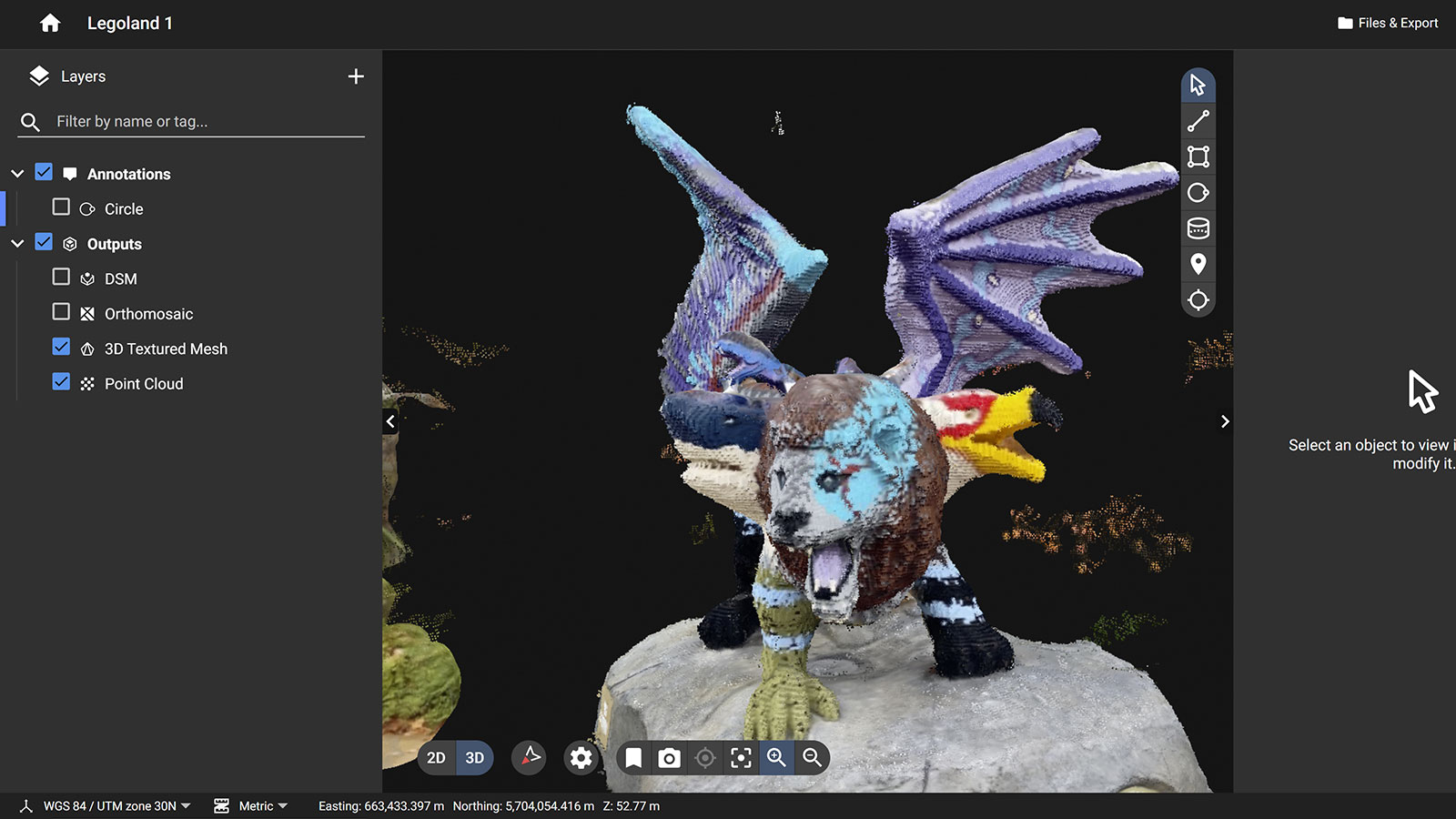
The workflow for this equipment, for those who don’t know, is very straightforward. You simply attach the viDoc to your mobile device (select iOS and Android devices are supported) and turn on the viDoc and your Bluetooth. Then, open the PIX4Dcatch app, which will allow you to connect the viDoc to an NTRIP network of your choosing. Then you can start collecting data by walking around the site. You gather image data with PIX4Dcatch and your device’s camera, whilst the viDoc tags each photo with geolocation data. There’s a live feedback feature that creates a 3D point cloud based on LiDAR data (on supported devices, or ToF data) to help ensure you collect enough data. When you’re done, just export the data to be processed - either to the cloud (PIX4Dcloud) or to desktop photogrammetry software (PIX4Dmatic, PIX4Dmapper, or PIX4Dsurvey).
Recently I’ve been using PIX4Dcloud and PIX4Dmatic to process the point cloud data. PIX4Dmatic can merge the LiDAR data with photogrammetry, which is useful when you want to look at different types of data and get the best of both techniques. Our clients tend to need the point cloud data, so we export the processed results as .las files.
This is a really flexible product. Our clients buying the device or hiring our services have comprised of general topographic surveyors and building surveying companies, to those in the construction industry, forensic, film, and even an electric bike and scooter company."
What are your final impressions of this smartphone surveying system? What do you think is next for it?
"I’ve been impressed by the device. It’s a great conversation starter and everyone can see some advantages of the PIX4Dcatch RTK solution in their workflow. I love how easy it is to demonstrate and produce excellent deliverables. The simplicity is almost surprising. In the beginning, we had a challenge with the OSGB model but the Pix4D team sorted that out straight away. Now my main issue is keeping hold of the kit as everyone wants to “borrow” it!
I’m loath to restrict this workflow to just being a tool I’d recommend to surveyors. If you haven’t seen or tried the viDoc, you really should. It can empower more people to collect quality data and it’s a big advantage in a world that is becoming more widely digitized all the time. I think we’ll see it being adopted by more and more industries - it’s the answer to so many problems, and still easy to use."
A big thank you to Graham Sharp for his time in answering our questions! He and the team at Sunbelt Rentals UK have been promoting and showcasing Pix4D products in the UK and can demonstrate the PIX4Dcatch RTK workflow in-person.