


Variable rate application
- Define application zones based on crop health analysis with drone or satellite data
- Prescription maps for fertilizer, growth regulator, and crop protection, compatible with tractors, sprayers & spray drones
- Distribute inputs more efficiently to save costs and increase crop health and yield
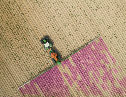
Spot spraying
- Use AI to identify weeds and other areas of interest for precision application
- High-resolution spot spraying maps for tractors, sprayers, and spray drones
- Drastically reduce herbicide use and save money on every acre

Magic tool
- The Magic tool is powered by a machine learning algorithm developed by Pix4D that works offline and in the field. Using it can save a significant amount of resources for treatment applications by specifically identifying problem areas and helping the farmer plan spot-spray or spot-treatment applications.
Learn from our users
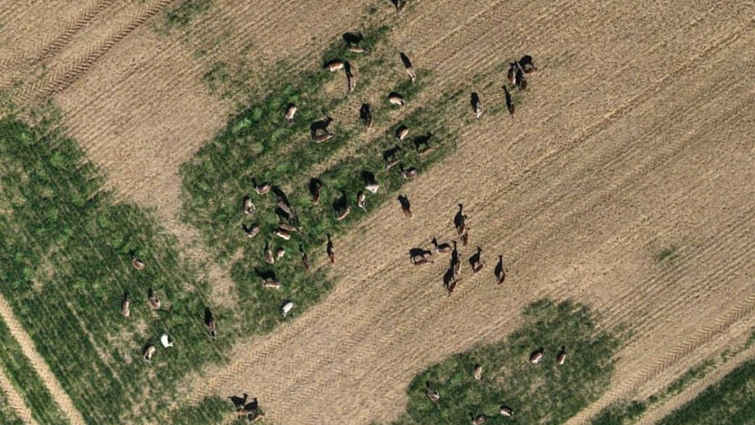
Crop damage assessment on a farmland with PIX4Dfields
Crop monitoring and damage assessment with accurate field data helps improve crop production in affected areas and prevents yield loss.
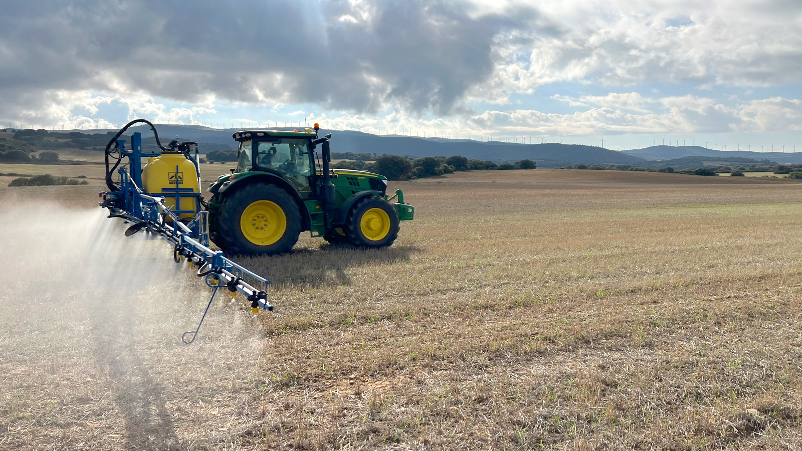
How a farmer cuts costs by 56% with PIX4Dfields
Targeted herbicide applications of agricultural inputs help save costs whilst protecting soil health and the environment.
Identifying weeds covering 36% of a field with PIX4Dfields
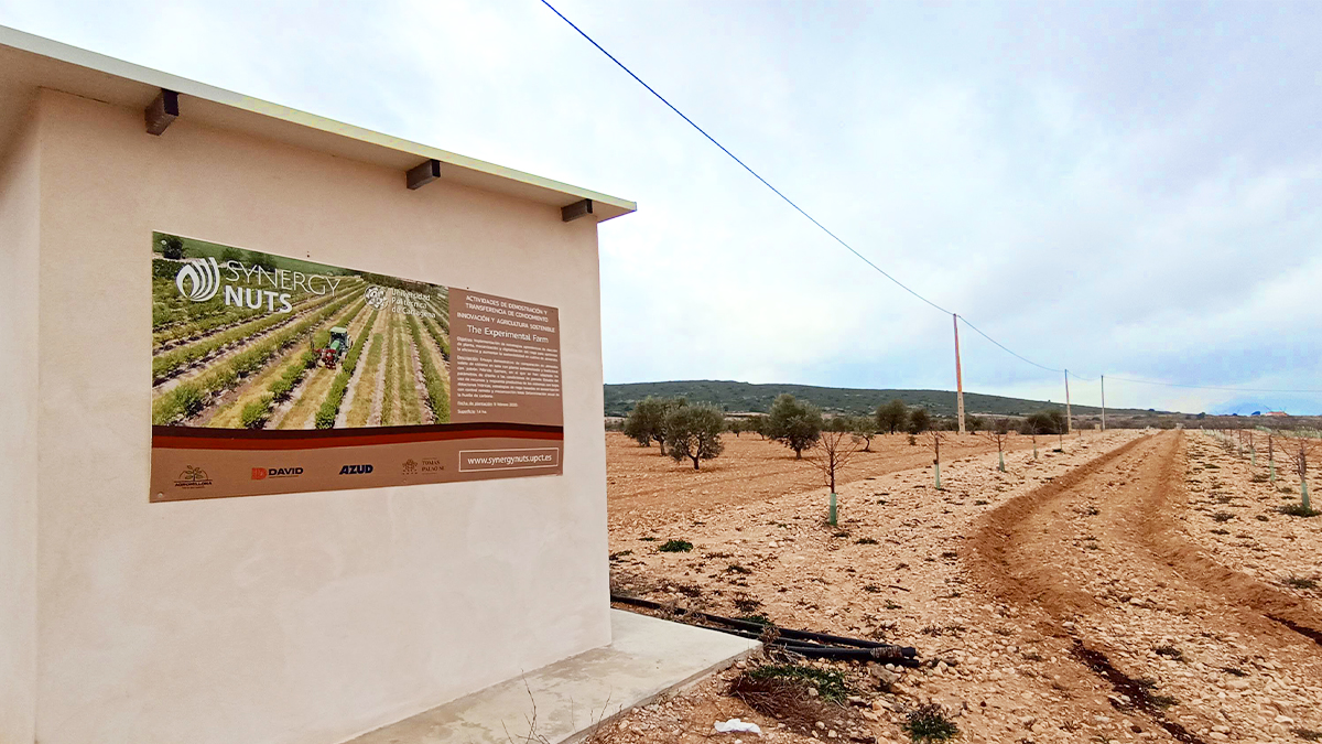
Precision agriculture means using technology to optimize farming whilst saving resources. For almond orchards, that means optimizing yields.
Read more PIX4Dfields use cases or sign up for our newsletters.
Do you have any questions?
Please don't hesitate to contact us we will be glad to assist you in any of your inquiries.