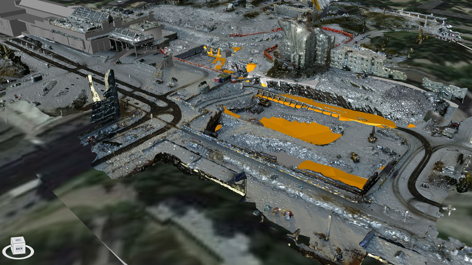
Webinar: Drone mapping in Construction

Find out how drones and photogrammetry are changing the world for construction & engineering companies


CraneCamera ebook

Pushing the limits of construction monitoring


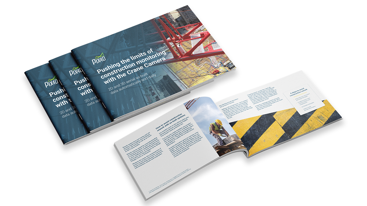
Download the ebook now

Learn more on drone mapping in construction


Strabag uses Pix4D drone mapping software for their construction projects

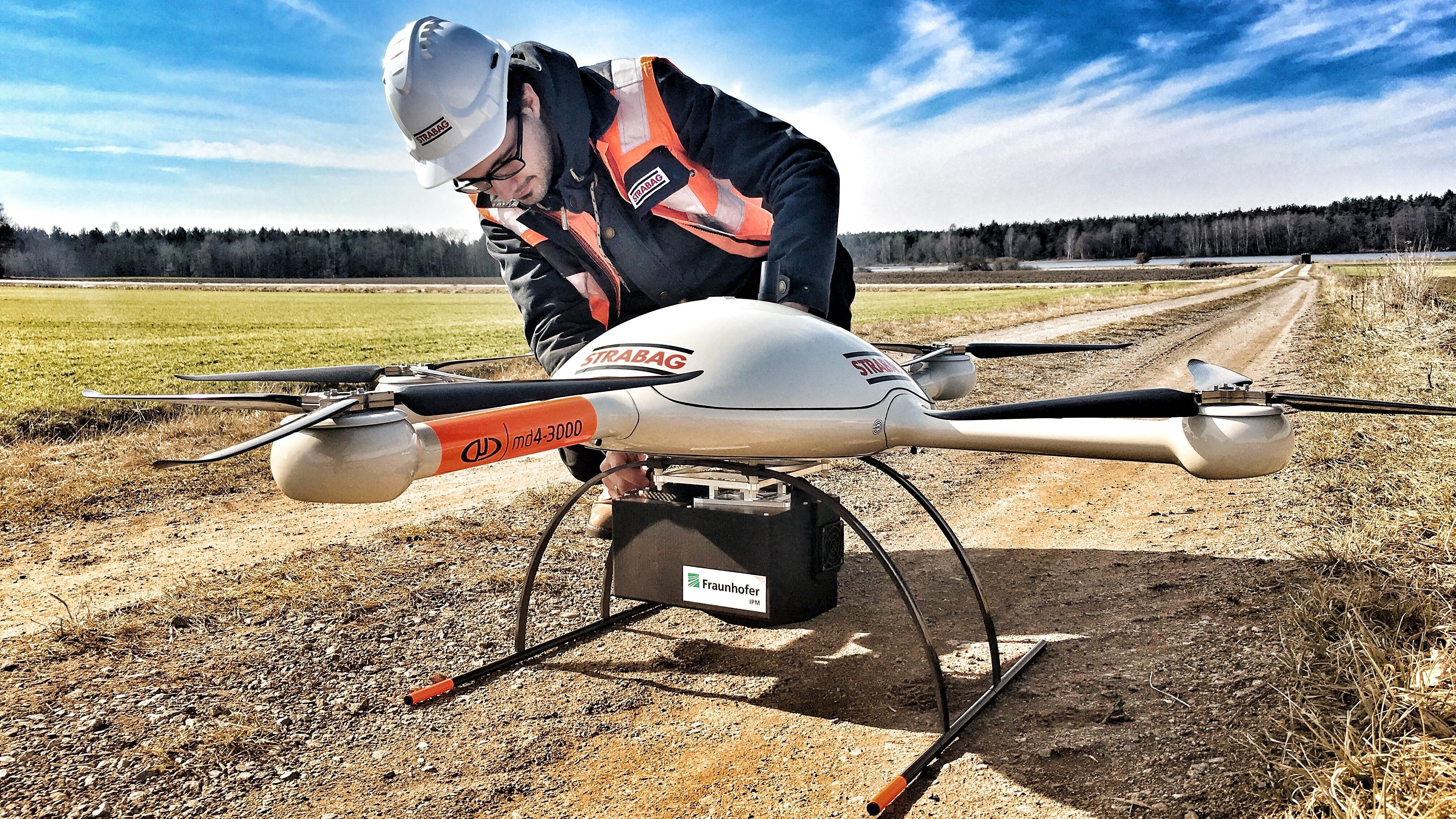
How drones save time in construction projects

Every construction site is different and has its own challenges. Drone mapping helps make planning, monitoring and documenting more efficient.


Read more >
Isachsen surveyors using videos for site surveys using Pix4Dbim

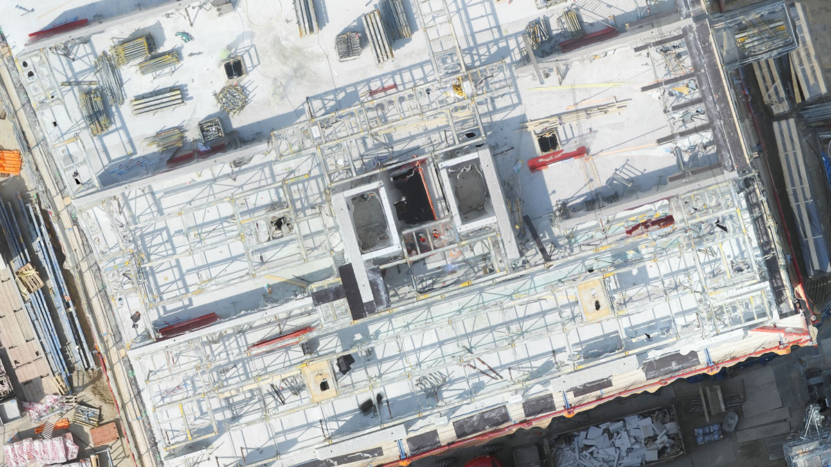
How to avoid construction errors and costly rework

Construction rework negatively impacts budgets, schedules, and productivity. Learn how Crane Camera helps VolkerWessels keep their projects on track.


Read more >
Boost 4d project management using drone mapping

Boosting 4D project management with drone mapping

"There is a gap between the schedule and the reality in the field, the two are rarely connected. Now with drone mapping we make that connection happen."


Read more >
Get started today
Increase your productivity with smarter project management