
PIX4Dfields
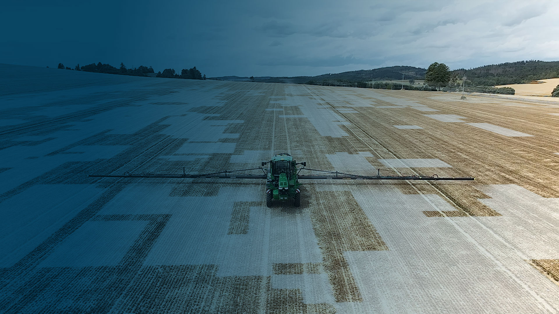
農業用ドローン・トラクター用ソフトウェア。 作物の健康状態を分析、必要箇所にピンポイントで農薬を散布。
労働力・時間・コスト・農薬等をPIX4Dfieldsで節約


WindowsおよびmacOS用で利用可能
あらゆるメーカーの機械に対応
スプレードローン、トラクター、フィールドスプレーヤー用の、すぐに使えるカスタマイズ可能な可変レートおよびスポット散布マップ。
標準ISOBUSマシンターミナル用ISOXML


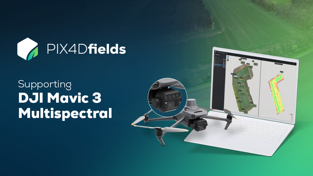
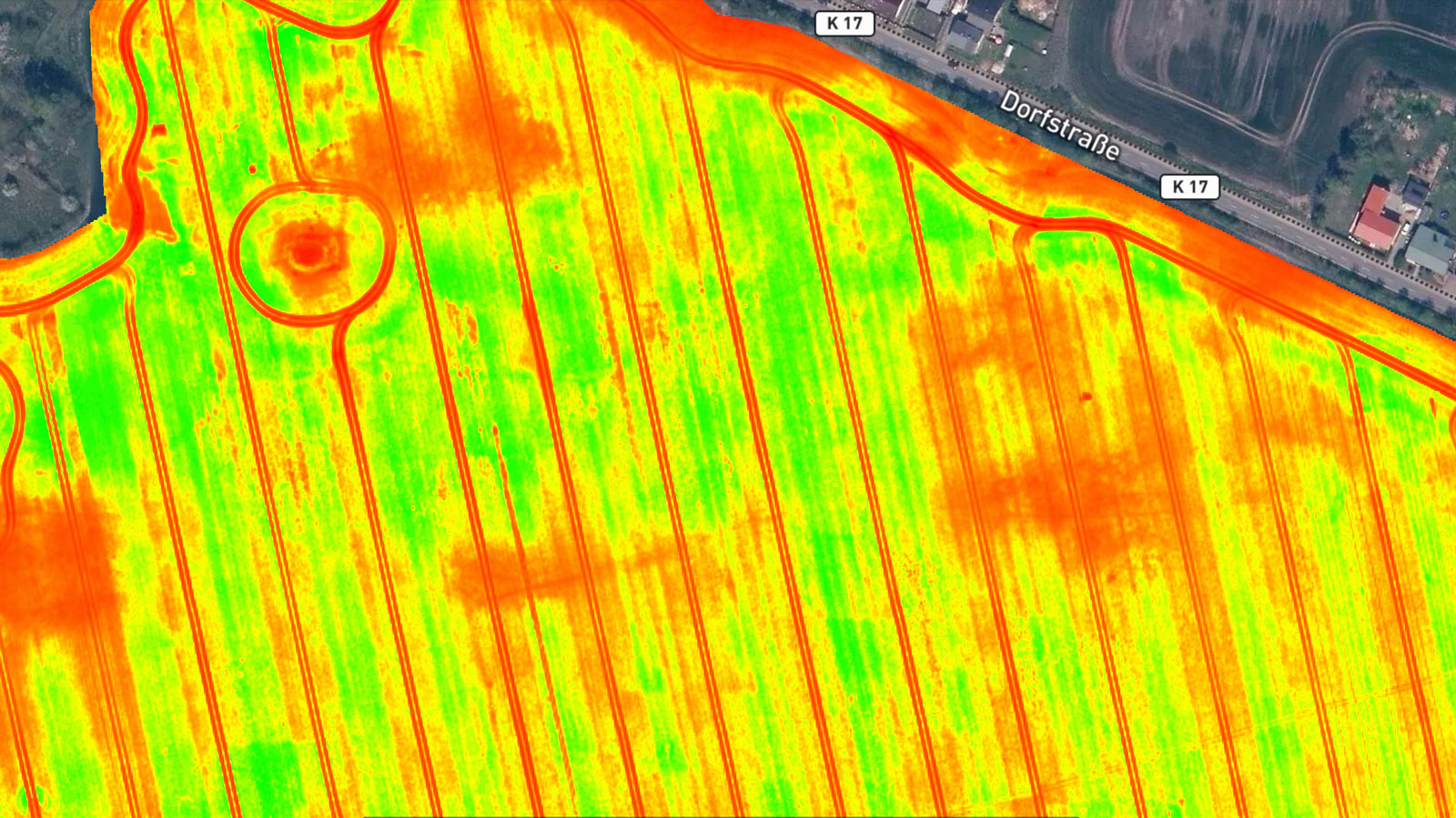
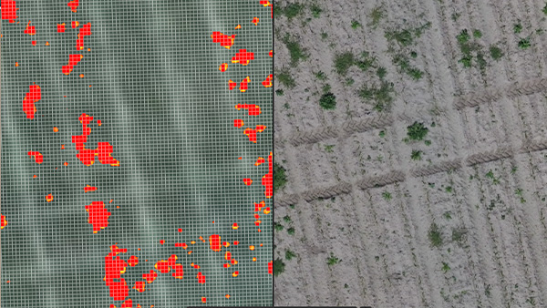
[DJI Mavic マルチスペクトルデータセット]
DJI Mavic 3 マルチスペクトルと PIX4Dfields で表面を超えて見る
DJI Mavic 3 マルチスペクトルでもPIX4Dfieldsのはお試いただけます。ぜひお試しください! PIX4Dfields(ピックスフォーディー・フィールズ)で圃場のデータを解析して、効率的に除草剤や農薬をピンポイント散布することで、時間、コスト、労働力の節約を今日から始めましょう!
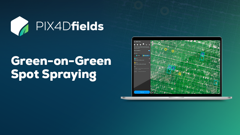
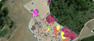
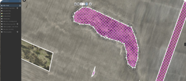
グリーン・オン・グリーン・スポット散布データセット
世界の農家のコスト削減に貢献
グリーン・オン・グリーンのデモデータをお試しください!PIX4Dfieldsで処理し、Magic Toolでフィールド上のすべての雑草を即座に発見し、的を絞った除草剤散布のためにすぐに使える処方マップを作成する方法をご覧ください!
今すぐダウンロード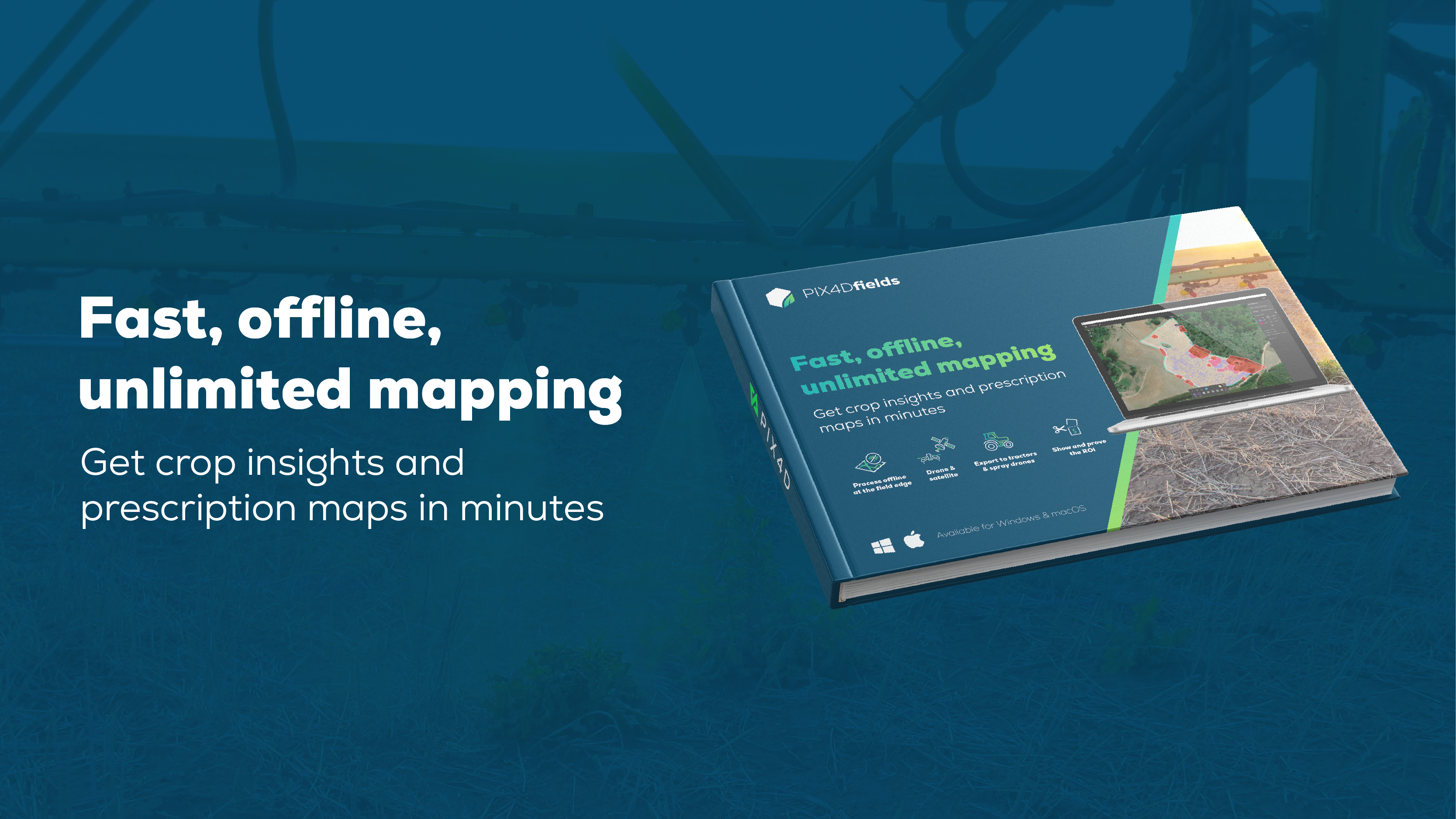
高速、オフライン、無制限のマッピング
農作物に関するインサイト�と処方マップを数分で入手
PIX4Dfieldsがどのように精密農業を向上させるか、画像(ドローンや衛星)を数分で処方箋や洞察に変える方法をご覧ください。スピードを追求したPIX4Dfieldsは、圃場端で完全オフラインのオンデバイス処理を可能にします。
今すぐダウンロードドローンを飛ばすことで圃場のマップを作成
作物の健康状態や雑草の育成箇所等を分析
ピンポイントで農薬、除草剤、肥料等を散布可能


お使いのドローンがサポートされているかどうかを確認する こちら
使用可能かご不明な場合は、まずは お問い合わせ
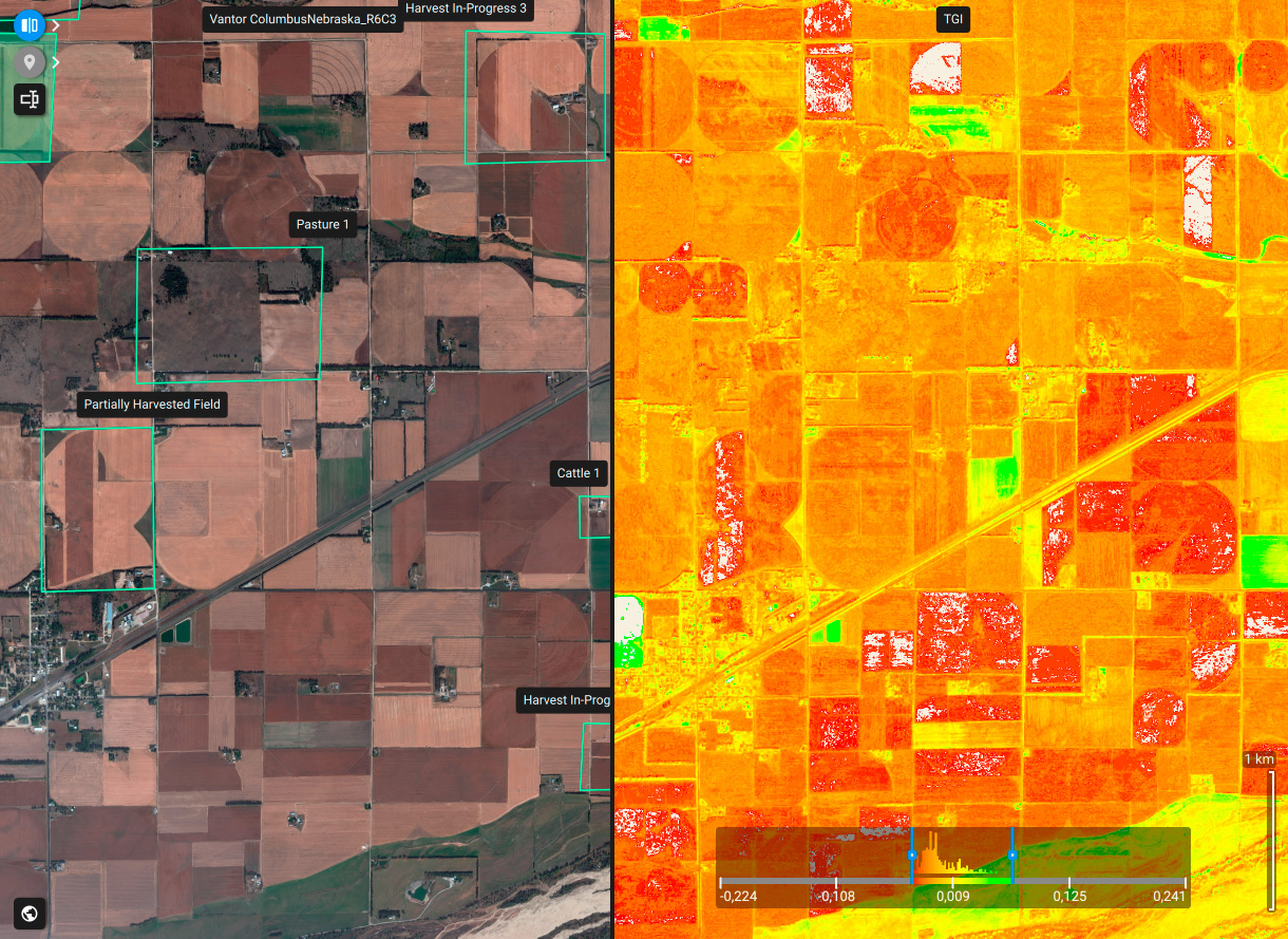
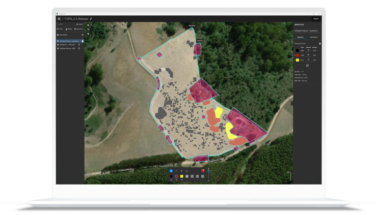
どこからでも農地情報を確認:高解像度データと詳細な分析
PIX4Dfieldsなら、高解像度の衛星画像に即座にアクセスできます。世界中のどこからでも、数秒で作物の詳細な分析��や植生指数を生成できます。
PIX4Dfields機能の一例
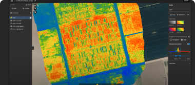
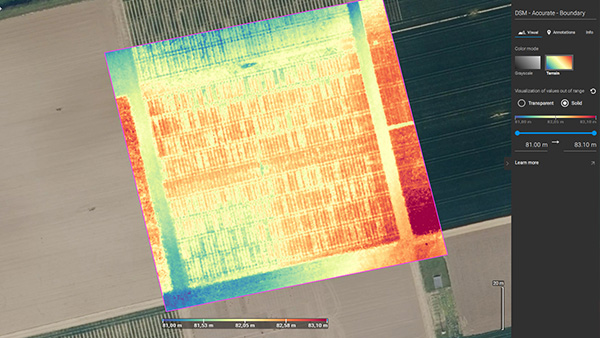
 高速処理 - 正確な処理
 インデックスの生成
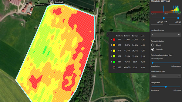
 ゾネートと処方
 測定と注釈
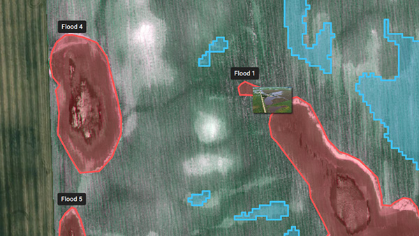
測定と注釈 マジックツール
 標的作戦/処方マップ
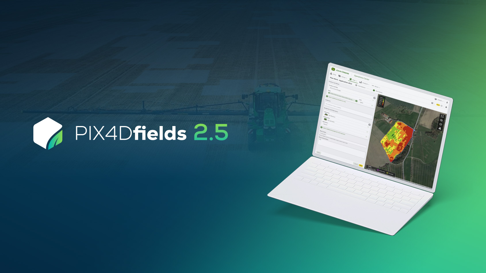
 ジョンディア・オペレーションズ・センター
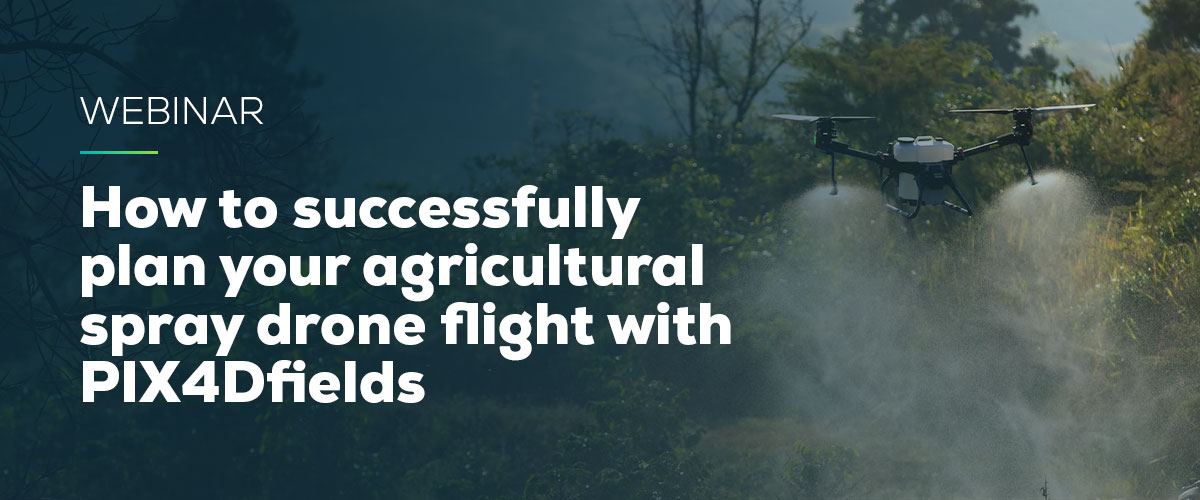
<div class='Webinar_text-container'>
  <h2>WEBINAR</h2>
  <h3>How to successfully plan your agricultural spray drone flight with PIX4Dfields</h3>
  <p>Join us for a discussion on how to use PIX4Dfields RTK field boundaries and obstacle editing for spray drone applications, and talk about the importance of ensuring an efficient and profitable flight.</p>

  <a href="/how-to-successfully-plan-your-agricultural-spray-drone-flight/" class="btn btn--primary" style="font-size: 18px;">Watch now</a>

</div>
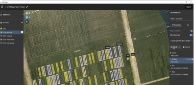
スマート農業の事例
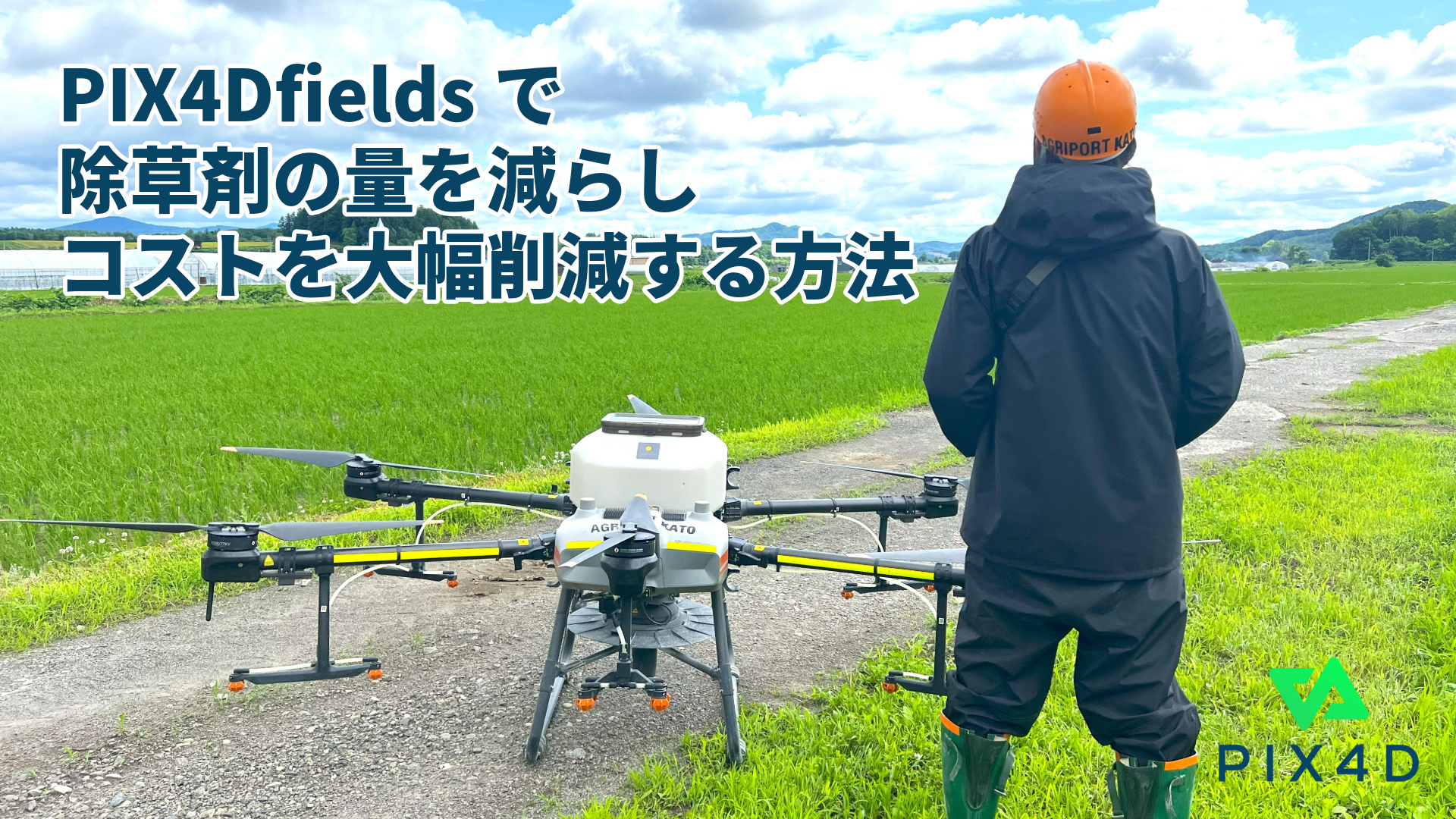
PIX4Dfieldsで除草剤の量を減らし、コストを大幅削減
PIX4Dfieldsによって、雑草の育成箇所を特定し、ピンポイントで除草剤を散布し、除草剤の使用量を最小限に抑えることで大幅なコスト削減を実現した事例をご紹介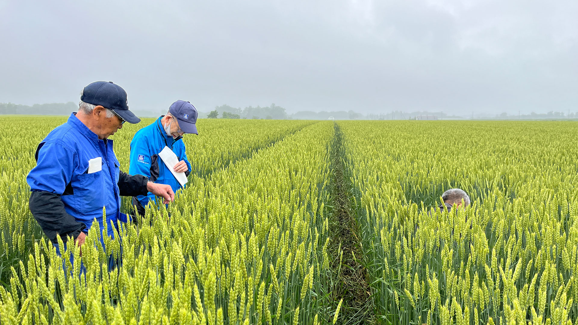
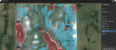
農薬コスト85%削減 PIX4Dfieldsとドローンがもたらす農業の未来
農業用ドローンソフトウェア「PIX4Dfields」で作成した処方マップを活用し、圃場内の必要な箇所にだけ除草剤を散布することで、除草剤の使用量を減らし、農業経営の収益性を高める方法。
PIX4Dfieldsの事例を、もっと読むまたはぜひニュースレターにぜひサインアップして、Pix4Dに関するアップデート情報をお受け取りください。