

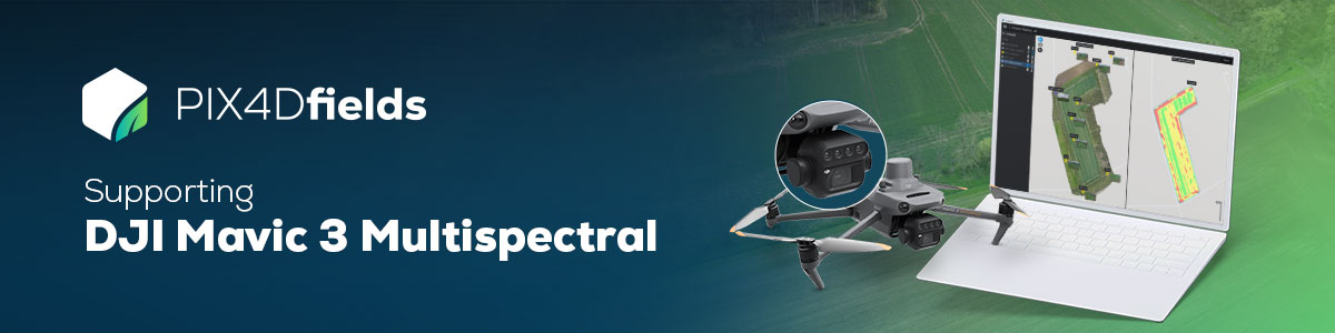
Seeing beyond the surface with the DJI Mavic 3 Multispectral and PIX4Dfields
How can a farmer effortlessly save time, money, and resources? Download and process our DJI Mavic 3 Multispectral dataset on PIX4Dfields to discover it for yourself!
The free dataset of a 11 hectare / 27 acre winter barley field includes:
- Flight settings: 90m AGL, RTK,70 % sidelap, 80% frontlap
- 309 RGB Images
- 1236 multispectral images
- Images of radiometric calibration target
- Field boundary
- PDF report
You can download and try PIX4Dfields for free here.
If this form does not display correctly, please ensure that JavaScript is enabled in your browser settings and clean your browser\'s cookies. You can do this by navigating to your browser\'s settings, then proceed to reload the page.