PIX4Dfields 1.11: detailed surface models
The latest update for PIX4Dfields offers a second processing option for more detailed digital surface models as well as supporting new Sentera, MicaSense and DJI cameras.
Accurate Processing for detailed surface models
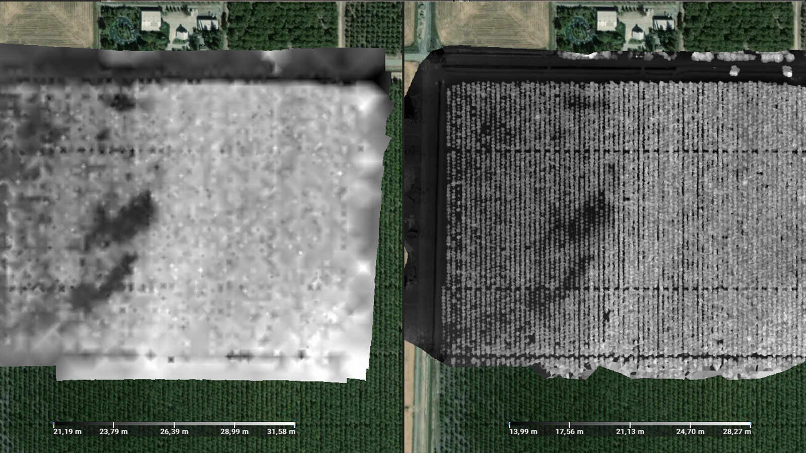
PIX4Dfields’ powerful in-field edge processing is being renamed ‘Fast Processing.’ Fast processing has had several improvements over the years and offers the best option for generating an orthomosaic or index map for almost all agricultural mapping needs. This renaming is because PIX4Dfields 1.11 has a new processing option. The new “Accurate Processing” option provides more detailed and accurate digital surface maps and is ideal for measurements, trial plots, spot applications, and elevation analysis.
Accurate processing assists drainage system installations and record keeping
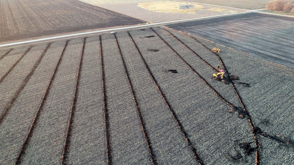
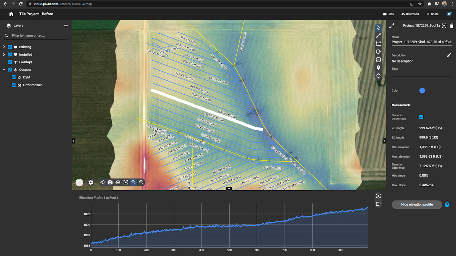
To mitigate the impact of flooding or high water tables, some farmers install drainage systems. Capturing data before and after installation enables contractors and farmers to identify drainage issues as well as evaluate the results of the drainage systems. The new Accurate Processing option will empower farmers to keep precise records and assess their installations. Maps made using drones equipped with real-time kinematic (RTK) positioning help generate survey data that can be used for planning improved drainage and inform planning proposals.
Creating these maps enables users to locate existing tile systems and create digital records that can be exported to other farm management software. In this project, Accurate Processing made it possible to see every single tile line that was installed for this drainage system as well as the elevation changes across the field.
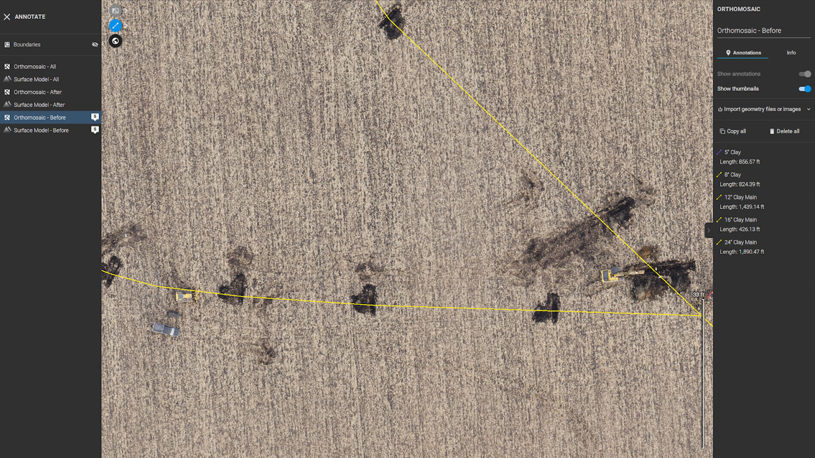
With the share to PIX4Dcloud functionality, you can easily upload this project to PIX4Dcloud to adjust the DSM settings or use PIX4Dcloud’s annotation tools to highlight important information on your DSM.
New insights for research and commercial plot trials
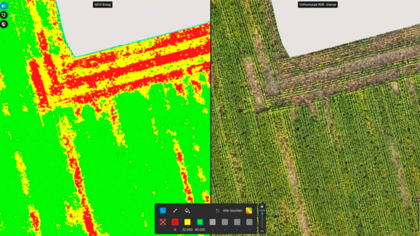
Trial plots are often used for research and commercial purposes. Research trials are useful for studying new applications, testing new technologies, and providing statistical feedback for research and development. Commercial trials are utilized in agricultural retail or services as they are a way of highlighting and showcasing the performance and value of product techniques or strategies to customers. When it comes to trials, important metrics to analyze include elevation, topography, and crop height. Now, with the Accurate Processing option users can gain new insights into crop height and detect anomalies and bias in plot trials that will improve the analysis of the overall results.
Researchers from the Institute of Agricultural and Urban Ecological Projects (IASP) at the Humboldt University of Berlin conducted a winter wheat research trial. PIX4Dfields was used to investigate the interaction between different winter wheat varieties, fertilization ,and irrigation and their impact on yield. The comparisons were measured using vegetation indices. Conducting regular UAV flights made it possible to assess different vegetation indices and track the height of individual research plots with good correlation to ground truth data.
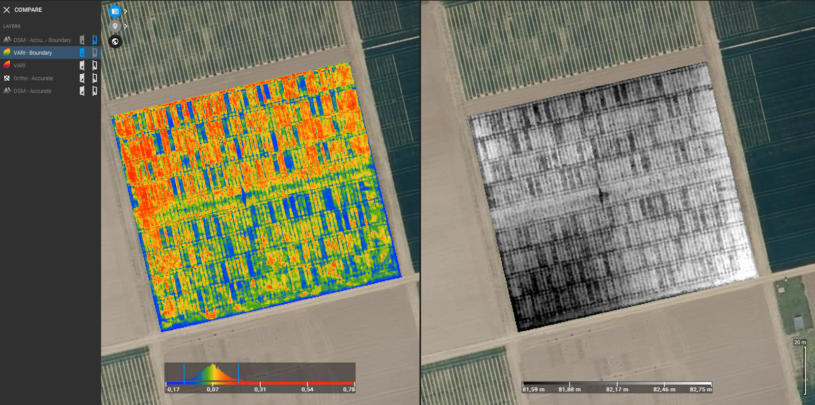
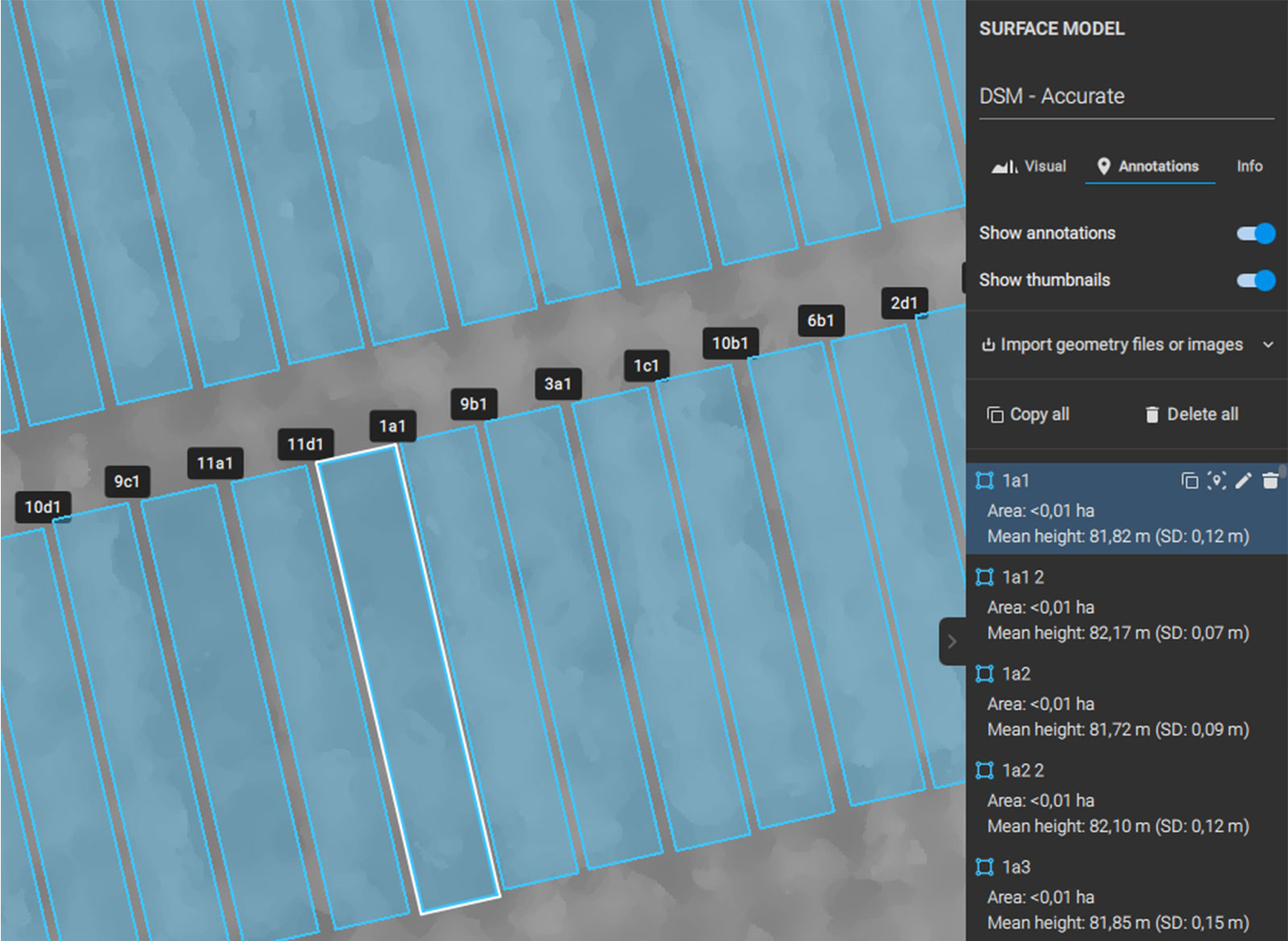
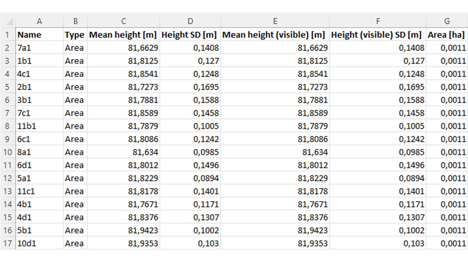
With the share to PIX4Dcloud functionality, the project can be uploaded to PIX4Dcloud to generate the elevation profile and calculate volume.
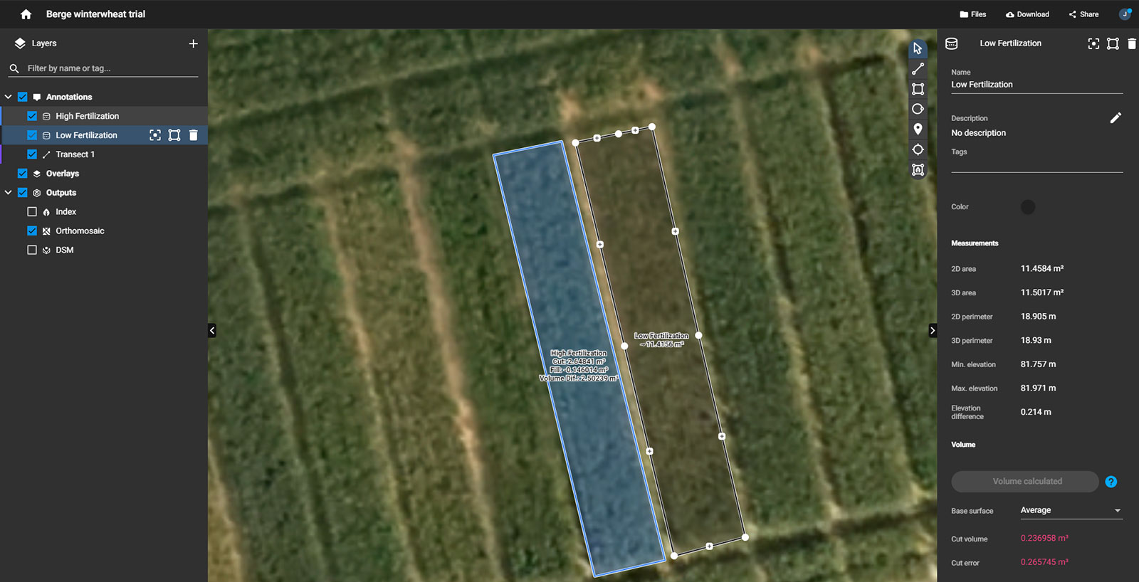
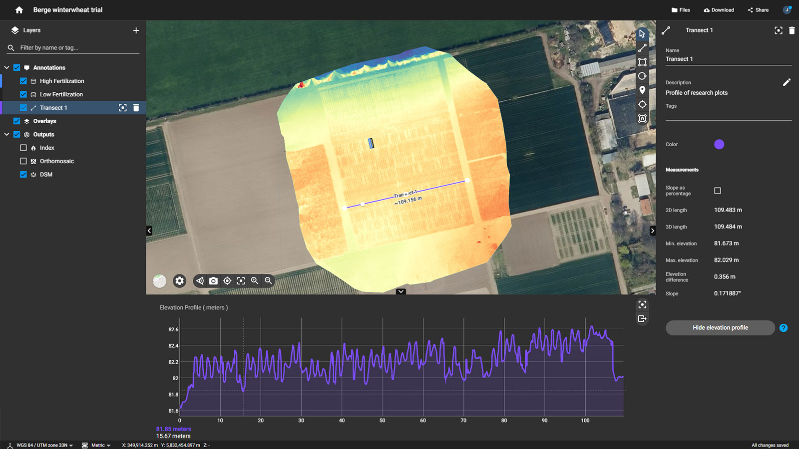
Additionally, by using the share to PIX4Dcloud tool, these results can also be shared with customers, embedded in websites, and communicated with research collaborators.
PIX4Dfields 1.11 offers exciting opportunities for growers worldwide, as well as new support for recent camera models. If you want to learn more about PIX4Dfields or talk to our team, make sure you’re part of the Pix4D Agriculture Community
