
How to prepare for your drone flight with Pix4Dcapture
But to get the best possible results, a little planning is needed! We've rounded up some information on how to prepare and plan for a (safe) drone flight using the free Pix4Dcapture app for Android or iOS.
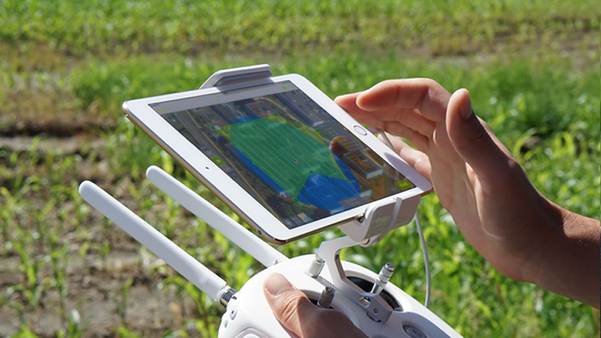
Plan your flight mission

Even though Pix4Dcapture is a mobile app and allows you to easily adjust your flight plan in the field, we recommend planning your mission before you reach the site.
Fire up Pix4Dcapture, select your drone and mission type, then draw the flight plan. The mission type depends on what you’re surveying, and what your goals are.
You can combine images collected with Pix4Dcapture from two different flight missions in post, processing with any of Pix4D software applications, or if you need more than one battery to capture all the data. You don’t need an internet connection to fly your drone, but it’s better to plan a mission when you have internet access so all the basemaps can be loaded.
Ensure the start and end points are close to the flight path to conserve battery life, and that you will be able to maintain a line of sight with your drone at all times. If you’re working near tall structures that could impede your view, you may need to plan more than one mission to ensure you maintain visual contact with your drone at all times.
Pix4Dcapture supports multi-battery flights and will warn you if more than one battery is needed to complete the mission. You will also be warned if you have selected a flight area which is too small to give optimum results.
Check flight regulations
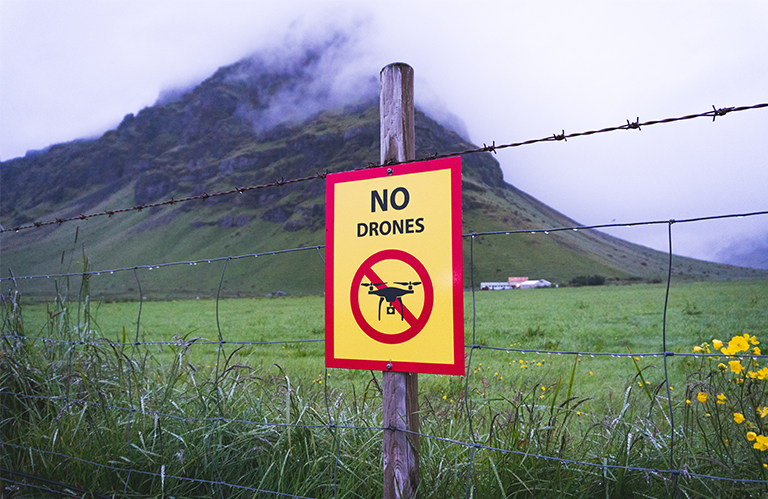
The aim of your mission is to capture some great data – not land a large fine! Before take off, double-check local regulations around UAV usage.
Depending on your flight plan, you may need to seek a permit. Most countries restrict drone flights near airports, and some near groups of people and major roads. Pix4D will warn you if the altitude you’ve selected is higher than is legal – or just too high to get great images.
Keep in mind that different countries have different licensing requirements. Of course, you’ll be familiar with the regulations at home, but if you’re thinking of crossing a border, check the regulations in both countries. While your drone will fly autonomously, a pilot must be ready to take control at any point during the flight. In most countries, you need to maintain a visual line of sight to your drone at all times. The Pix4Dcapture camera view lets you see what your drone sees, but as tempting as it is to watch this, you need to keep your eyes on the drone, not the screen!
Check your drone gear

We’re almost ready to fly! But before we head out to the field, you need to check your batteries. Bear in mind that the average drone battery life is 15-20 minutes. When planning your mission in PIX4Dcapture, you can see the flight time and its impact on battery life. If your mission is a longer one, you may need to plan a multi-battery mission.
A lot of factors affect battery life, some of which you can control (like the flightpath), and some of which you can’t (such as the wind speed). Make sure your battery is fully charged – and pack a spare too. While you’re at it, ensure there’s plenty of space on your SD card.
Before leaving for the field, ensure your software and firmware are up to date, including the PIX4Dcapture app. Now’s a good time to check that your phone’s battery is charged as well.
Finally, check the weather. An overcast day is perfect, as there will be fewer shadows. With the right hardware, an experienced pilot can fly in most conditions – but the images you collect may be degraded.
In the field

Once you arrive on-site, take a visual check of the space as you place your ground control points. Are the takeoff and landing zones clear of obstructions and people? Are there any trees or wires which were not visible on the map when planning your mission?
Finally, connect your drone to your device, and turn them both on. The drone will display on the takeoff location on the map. You can tweak the mission as necessary, or even start again and create a new one.
The Pix4Dcapture software will run through an automated preflight check to make sure your mission goes smoothly.


