
Using PIX4Dfields for land leveling in Japan
Agriculture is under constant pressure to be better - to produce more, whilst using fewer chemicals, without the crops falling prey to pests or disease. There is a demand for “eco-friendly” farming practices that is as loud as the demand for greater yields. Testing new growing techniques will help agronomists find optimal workflows for farming in the future.
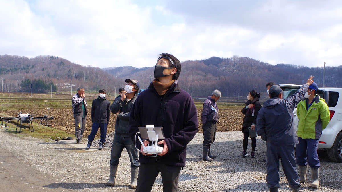
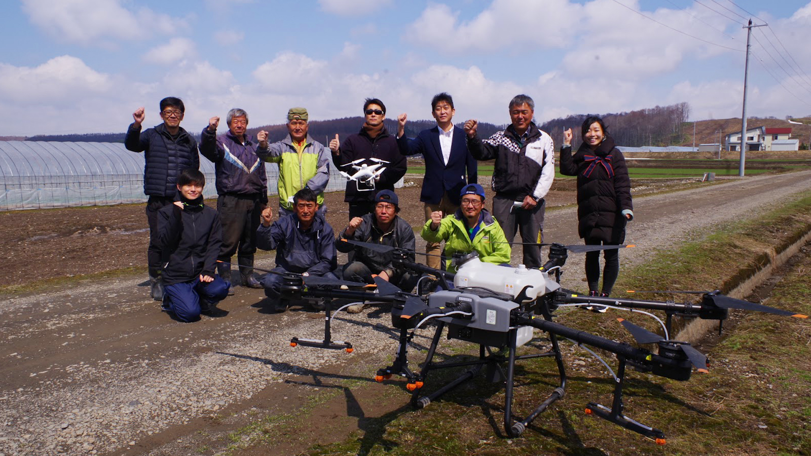
Pix4D and Meikyo Shoji initiated a project to see if precision agriculture software PIX4Dfields could enhance cultivation projects by checking how land topography changed across fields. The proof-of-concept project started in April 2022, and intended to test farms that used fertilizers that Meikyo Shoji sells to customers. The aim was to analyze the farmland to maximize fertilizer efficiency with PIX4Dfields.
Creating a proof-of-concept project for drones in agriculture
The fields used for this project were owned by Agricultural Corporation United, a multi-crop group with operations in Tadoshi, Fukagawa City, and Hokkaido. The director of Agricultural Corporation United, Mr. Nakanishi, actively searches for the latest technology to implement into their fields. He believes that “knowing the land” is essential to making farm work more efficient. ACU believed that they could use aerial data processed in PIX4Dfields to identify the characteristics of each field and use that to create a detailed land record.
ACU oversees 40 hectares of paddy rice, flowers, buckwheat, and wheat. For this project, the focus was on rice paddies. The company wants to introduce “dense seeding” to their paddy rice cultivation in 2022, which would reduce costs, including treatment and labor, whilst maintaining yields. After collecting images with a drone, PIX4Dfields was going to be used to analyze the terrain and plan realistic seeding strategies based on precise knowledge of the paddy.
Project details
| User | YUKIMURA.TECH Agricultural Corporation United |
| Location | Tadoshi, Japan |
| Hardware | DJI Phantom 4 Multispectral |
| Software | PIX4Dfields |
| Images captured | 434 Northern portion 141 Southern portion |
| Area surveyed | 14.5 ha Northern portion 7.1 ha Southern portion |
| Processing option | Accurate pipeline |
| Processing hardware | Laptop with Intel Core i7-8750 CPU @2.20 GHz, 16GB RAM |
What is leveling in agriculture?
Leveling is the technique of carefully grading agricultural terrain. It is informed by detailed terrain surveys, careful planning, and farm data. Leveling will help increase yield because it boosts yield control with better water coverage, which in turn reduces the prevalance of weeds in a field.
How could drone mapping help level a field to boost yields?
Rice paddies can have large differences in depth across their boundaries. However, cultivation in fields with large height differences is hindered by a reduced efficacy of herbicides in high areas, which increases the chances of weed infestation. The lower areas may also be submerged or rot due to oversaturation.
Typically, leveling is done by using a laser tool to measure a field to achieve uniformity. Unfortunately, the equipment is often expensive and may even require specialist teams to visit a farm.

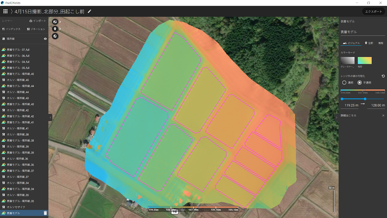
However, if it is possible to pinpoint areas of uneven elevation in a field, this could reduce the time required for efficient soil preparation and cut the cost of outsourcing leveling work, which would save money for the entire field. This project needed to prove that a drone could identify elevation differences from the sky, and that the processing software (in this case, PIX4Dfields, which is specially designed for agricultural mapping with UAVs) could successfully express elevation changes with a digital surface model (DSM) or similar output.
Topographic mapping with drones for rice cultivation
The flight with the drone went ahead easily, surveying 9.5 hectares. The results were imported to PIX4Dfields straightaway without needing an internet connection. The elevation differences were clearly shown with the height difference map. This project focused on a 3.3 hectare area with significant changes in elevation. If it was leveled correctly, it could reduce the labor costs by 35%.
After the survey was completed, ACU asked the farmers from the area if the elevation changes matched their knowledge. They agreed, showing that on the first level of “knowing the land”, PIX4Dfields could accurately show the field layout. These maps could then be sent to specialized tractors or machinery to level the field to create a consistent, flat field.
Precision agriculture software with aerial mapping
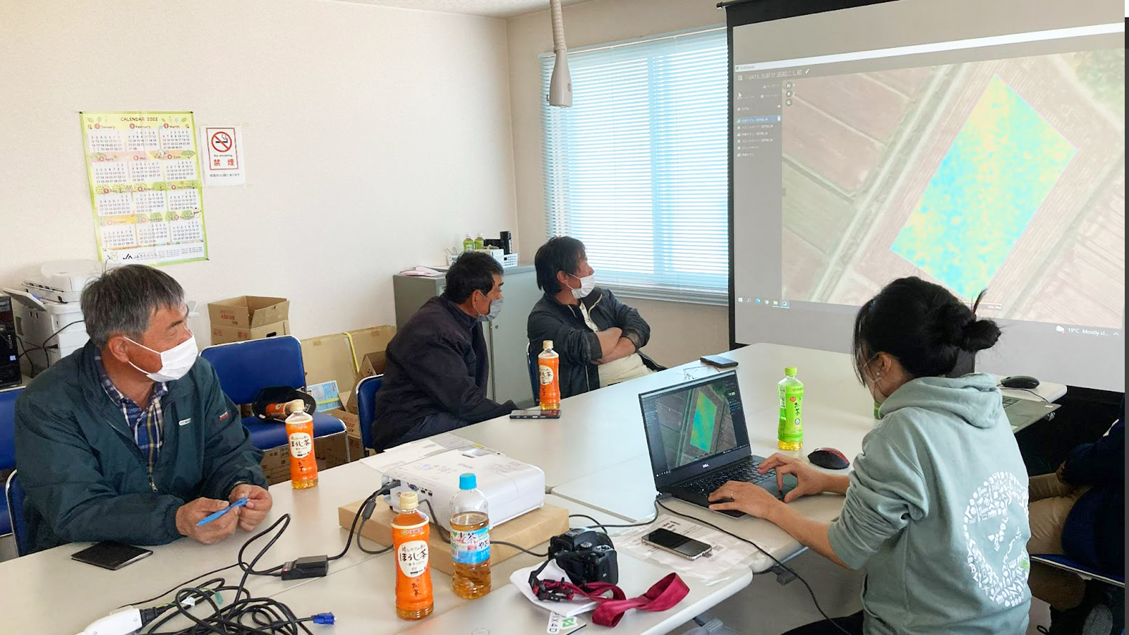
PIX4Dfields enabled ACU to visualize the distribution of elevation differences in the field using the software and the drone imagery. The results were then shared via the share-to-PIX4Dcloud feature in PIX4Dfields, which allows for the easy collaboration between stakeholders in projects, or between farmers, service providers, and land owners.
Thanks to using agricultural drone mapping software, the farmers could see the potential for significant savings with the land management and leveling. This project will continue to run throughout 2022, and be revisited by the Pix4D team as the crop grows and is eventually harvested. Make sure you follow us on LinkedIn to stay up-to-date and get all the latest news!


