
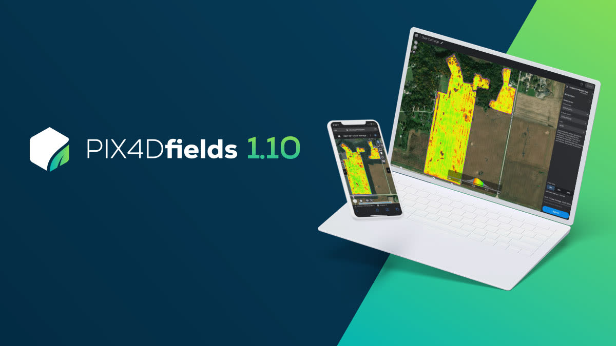
PIX4Dfields 1.10: faster mapping, sharing and custom PDFs
The latest update for PIX4Dfields takes advantage of faster processing power in computers, as well as offering users better customization of their services and sharing of outputs. PIX4Dfields 1.10 includes enhanced mapping speeds, share to PIX4Dcloud, and custom PDFs alongside four new languages (French, Italian, Korean and Russian).
Enhanced fast mapping using GPU acceleration
PIX4Dfields is the ideal tool for working with drones in agriculture because it processes maps in minutes* at the field edge without an internet connection. Computers equipped with a supported graphic processing unit (GPU) will produce orthomosaics faster than ever before. When enabled, the graphics card resources will be leveraged to reduce processing time on high-resolution RGB imagery datasets.

As cameras with higher resolution capabilities can take longer for processing, some users reduce the resolution to get faster results. The GPU processing unlocks the power of the computer’s existing hardware and processes maps at full resolution without sacrificing quality. This provides outputs at record speeds. As a result, PIX4Dfields users can get faster analytics for when it matters most.
*Results vary based on computer hardware, map size and resolution.
Share to PIX4Dcloud (beta)
Whether you want to share results with clients, growers, researchers, or insurance companies, easy export of PIX4Dfields outputs makes your work faster. Getting the results to the right people can make a difference in solving a problem before it is too late.
PIX4Dfields datasets processed on the desktop can now be uploaded to PIX4Dcloud for sharing as part of an existing PIX4Dfields plan. Export your orthomosaic, digital surface model, or index layers so they can be sent to colleagues or clients wherever they are. The people you are sharing with require no Pix4D license to view the output you send them. Uploads can be scaled to half or a quarter their original size to save time especially when bandwidth is limited.

Enjoy fast, efficient processing and sharing that enables growers, agronomists and service providers to get work done at a lower cost with a faster turnaround.
Customized PDF report
If you are a service provider or retailer who often shares their results, take advantage of the custom PDF feature that now enables you to show off your brand.
Enhance your business services by adding your logo and contact details to your PDF report. This will automatically be added to your PDF reports when you select the “Custom PDF” option. Make sure your name is on your work, reminding clients of the valuable services that you provide, and firmly establish your brand.

New languages added
Finally, we have added five new languages to PIX4Dfields: French, Italian, Korean, Ukrainian, and Russian. The software is already available in English, Chinese, German, Japanese, Spanish, and Portuguese. Work in the language that best suits you to get results faster.
PIX4Dfields 1.10 builds on the significant work already possible when using drone mapping in agriculture. With enhanced processing and easier sharing functionalities, you can now make precision agriculture practices even better than before, without the added expense. Whether you are visiting a field once a year or throughout the growing season, PIX4Dfields can support your workflows and save you time, money, and effort.


