
Why Pix4D loves surveyors (and surveyors love it back)
From our very beginnings, Pix4D has always gone hand-in-hand with surveying. Because just like in surveying, accuracy and quality underpins everything we do.
Surveyors can be photogrammetrists, and photogrammetrists can be surveyors
Why do we say 'we love surveyors' when we also love people who work in agriculture, construction, mining, and the dozens of other industries that use Pix4D software?
Today, digital photogrammetry is a broad discipline adopted by surveyors in every country of the world, and surveyors are becoming photogrammetrists.
Overcoming the quality problem
Professional surveying equipment typically comes with testing and certificates: the hardware is calibrated and certified, the surveyor knows how to use it, and therefore the measurements are accurate.
But what about consumer-grade digital cameras, carried by small UAVs, with lower quality positioning systems? What about the video on your smartphone? How can a surveyor trust these instruments?

Pix4Ders (that is, Pix4D folks), along with many other industry players, and early adopters, have spent years testing digital photogrammetry results, comparing topography, architecture, and stockpile volumes measured with laser scanners, total stations and UAV-based digital photogrammetry.
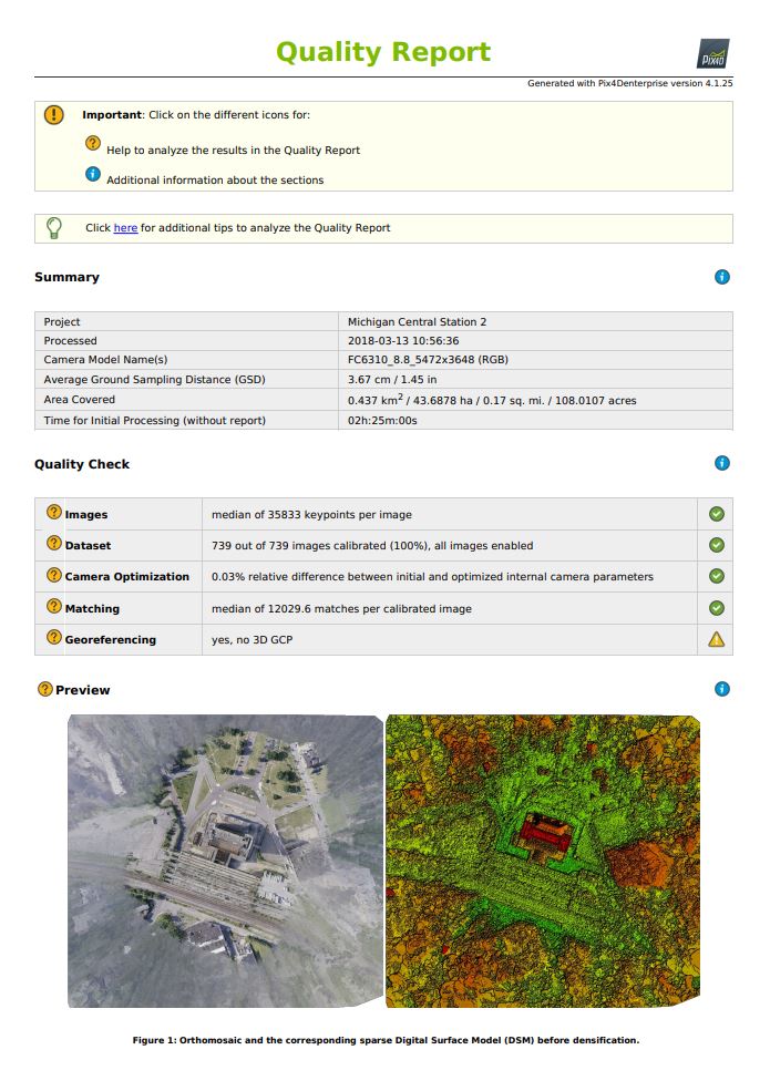
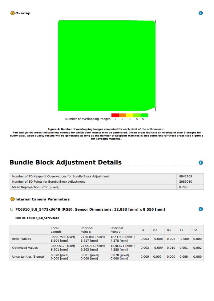
We, and our users, have been able to show that digital photogrammetry is survey-grade. Our users have achieved relative accuracy of ± 3mm measurement accuracy (1/100 survey foot). While this depends on a lot of factors, including ground control points, it's still an extremely efficient technique: we estimate that surveying firms that don't use drones today have a hard time competing to provide the same services with ground-based techniques.Survey-grade results can be produced automatically with the right conditions: a grid flight with large overlap over textured terrain in daylight. You can see the quality of results in the quality report - and in the outputs.
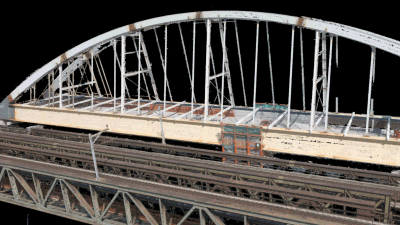
But what about non-optimal data? Multiple flights, at different ground resolutions, over a complex building, maybe with optical and thermal sensors?
When going gets tough, the rayCloud-powered surveyor gets going
At Pix4D, we believe that the real challenge for a surveyor is to guarantee the quality of the measurements while coping with challenging real-world field conditions and real-world technical problems.
By talking to professional surveyors, we understand that they are liable for the measurements they sign off on. The professional reputation of a surveyor lies in the quality of their measurements.
The rayCloud™ technology, the core interface of Pix4Dmapper, has been designed with the scope of explaining how the photogrammetric process works and how the 3D digital model is built as a projection of matching points among images.
By using the rayCloud, the surveyor can perform two fundamental tasks:
Assess the quality of the 3D reconstruction: the user can click on any 3D point, inspect its projection in multiple images, and visually verify if the automatic computation is correct
Control quality: the user can manually add tie points, instructing the software on how the image matching should be done in challenging parts of the scene, and then recalibrate to get the best 3D model, ready for measurements
In addition to the rayCloud, Pix4D software automatically creates an extensive and extremely detailed quality report, which further guides the surveyor in the quality improvement workflow as necessary.
Through the rayCloud, the surveyor can work as a photogrammetrist, understand if the 3D model is correct, and then move into their core discipline of extracting precise measurements out of a digital scene. They have become a digital surveyor, whose job is to measure and record the details of a digital scene.
Surveyors, the North Stars of geospatial innovation
Robots and technology are transforming the way we work. They are replacing humans either in easy and repetitive tasks such as in factories, or in dangerous and critical conditions such as on the battlefield. The changes which began in factories more than a century ago are happening now in the geospatial industry, which is becoming more and more digital.
However, the number of unresolved surveying challenges ahead of us is in orders of magnitude greater than the number of problems that have been solved. These problems, both at technical level and in terms of real business needs, can be solved only by surveyors which have to be supported by continuously improving technology.Surveyors are at the forefront of the geospatial digital transformation, and with their knowledge they can focus on solving the most difficult problems, be innovators and pioneers, and Pix4D's many North Stars towards new challenges.


