Marine ecosystem mapping with drones and photogrammetry
Marine research is a critical part of helping us to understand our oceans and coasts. With the changes caused by climate change as well as the simple variability in marine life, research into this area can inform scientists about what is happening and how to protect it.
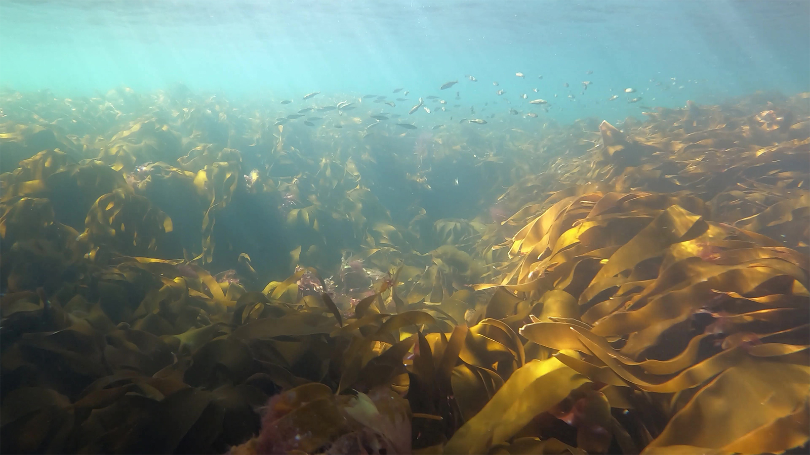
Specialized teams in Norway are using drone-based research to monitor marine ecosystems and habitats with scientific experts through two research projects called SeaBee and MASSIMAL. This includes analyzing changes to coastal blue forest systems including seagrass meadows, kelp forests, and rockweed beds. The aim is to establish new coastal habitat mapping practices using drones and specialized sensors. The data collected in this way will be used to characterize coastal habitats with machine learning algorithms and special analysis with photogrammetry software.
Drone mapping service providers in Norway
SpectroFly ApS is a drone surveying and GIS consultancy company that is based in Faxe, Denmark. Their team of drone operators is specialized in projects including agronomy, ecology, hydrology, and geosciences. SpectroFly’s experience in drone data acquisition and processing has helped them to provide clients with reliable results for over 10 years. Now, working with SeaBee, they have become an active partner in Norway’s infrastructure for researching and mapping coastal environments with drones.
Why drone mapping is used for marine research
Drone mapping on coastlines can be a great way to survey large areas while saving time and effort. However, the water can reflect light and pose some challenges.
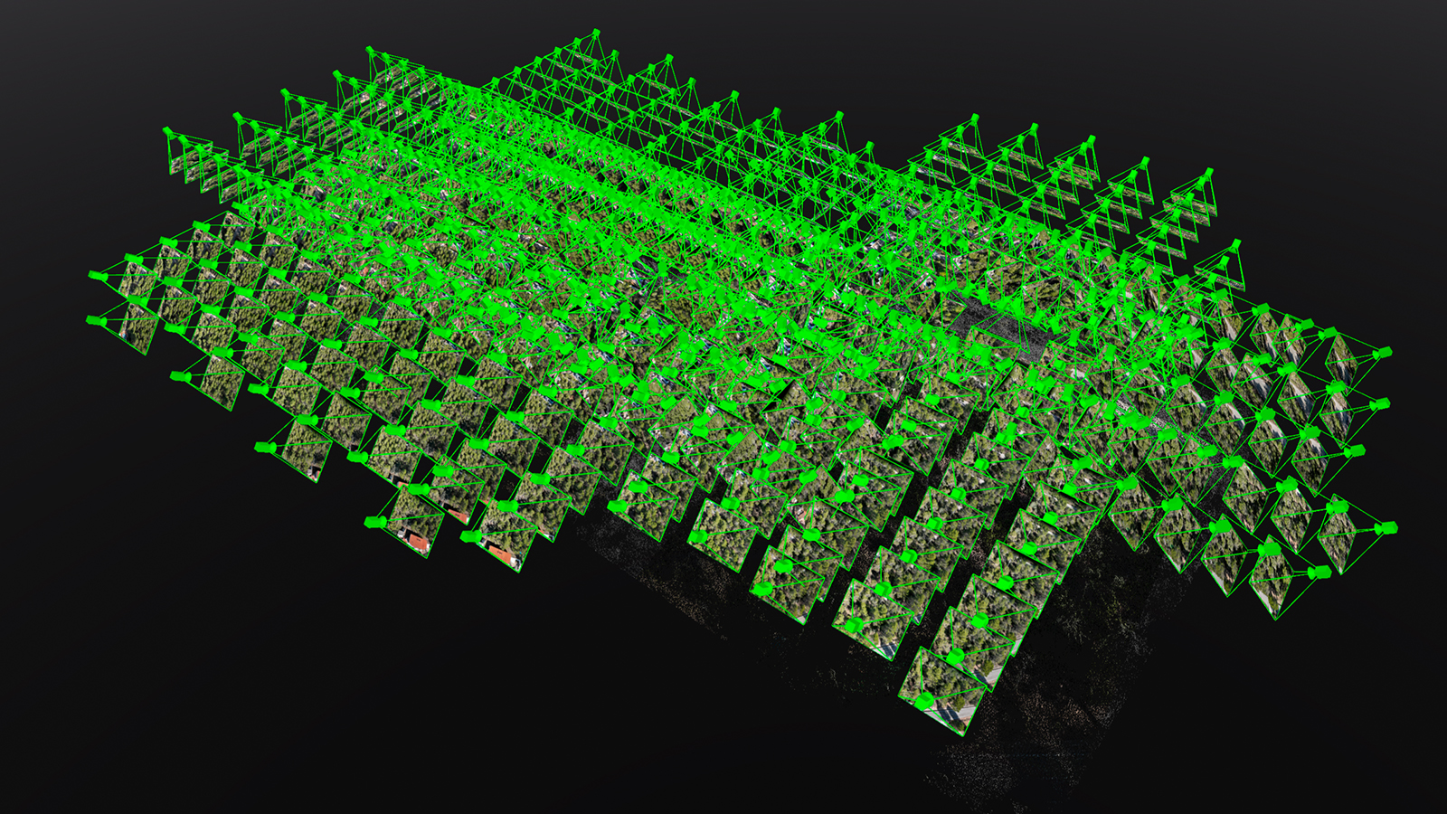
Researchers are turning to drone mapping as it helps them to better understand the spatial coverage and density of coastal vegetation. They can create detailed maps in-field with offline photogrammetry software. The data can subsequently be analyzed by specialists or machine learning algorithms.
Drone surveying is therefore more cost and time effective than traditional methods. With analysis of not only the terrain but also the health state of plant and algae life, the results are used for not only climate change mitigation guides but also for analysis of how the ocean is adapting to changing conditions.
Project details
| Location | Norway |
| User | SpectroFly |
| Software | PIX4Dmapper |
| Hardware | SenseFly eBee X MicaSense RedEdge-MX SenseFly Aeria X Downwelling Light Sensor |
| Area surveyed | 60.2 hectares RGB 79.8 hectares multispectral |
| Flight altitude | 120 meters |
| Processing time RGB | 4 hours |
| Processing time multispectral | 6 hours |
Obstacles to coastal drone surveys
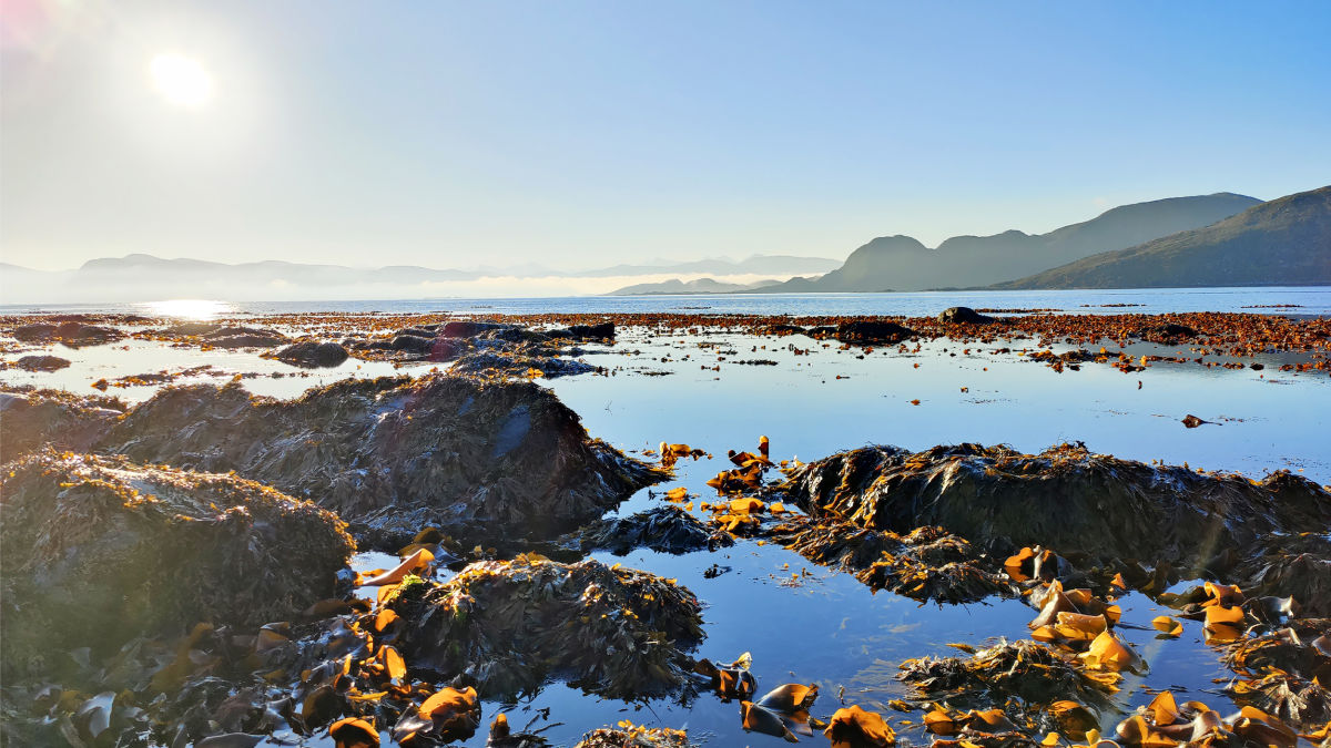
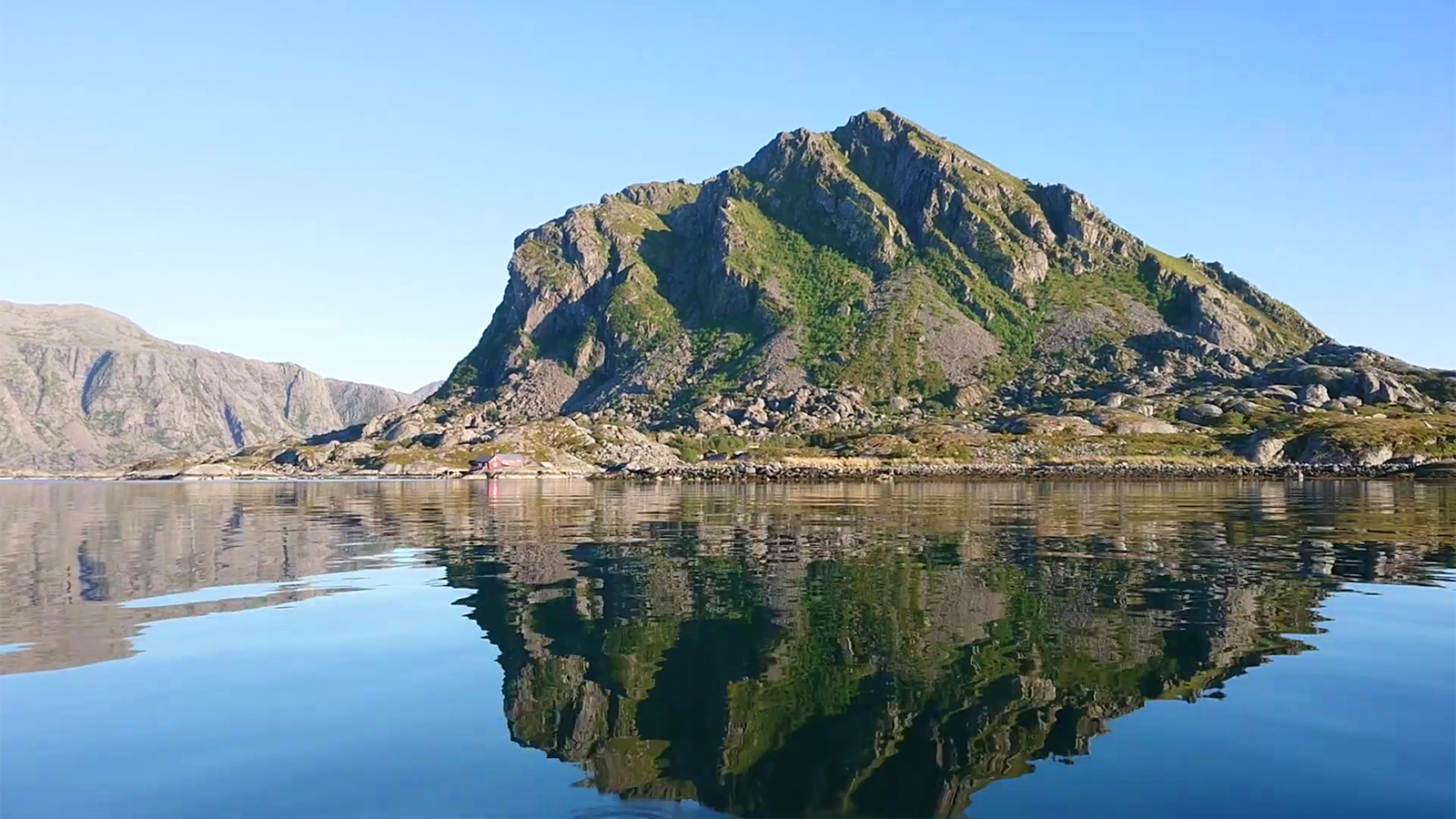
Research site in Norway is close to the Polar Circle, with challenging weather conditions. At times, strong winds and unpredictable changes can prevent drone pilots from taking off. In addition, mapping coastal areas requires specific conditions. To get the best visualization of the vegetation, low tide is necessary for data collection. There also needs to be the right lighting that allows drone cameras and sensors to penetrate shallow water to analyze submerged algae.
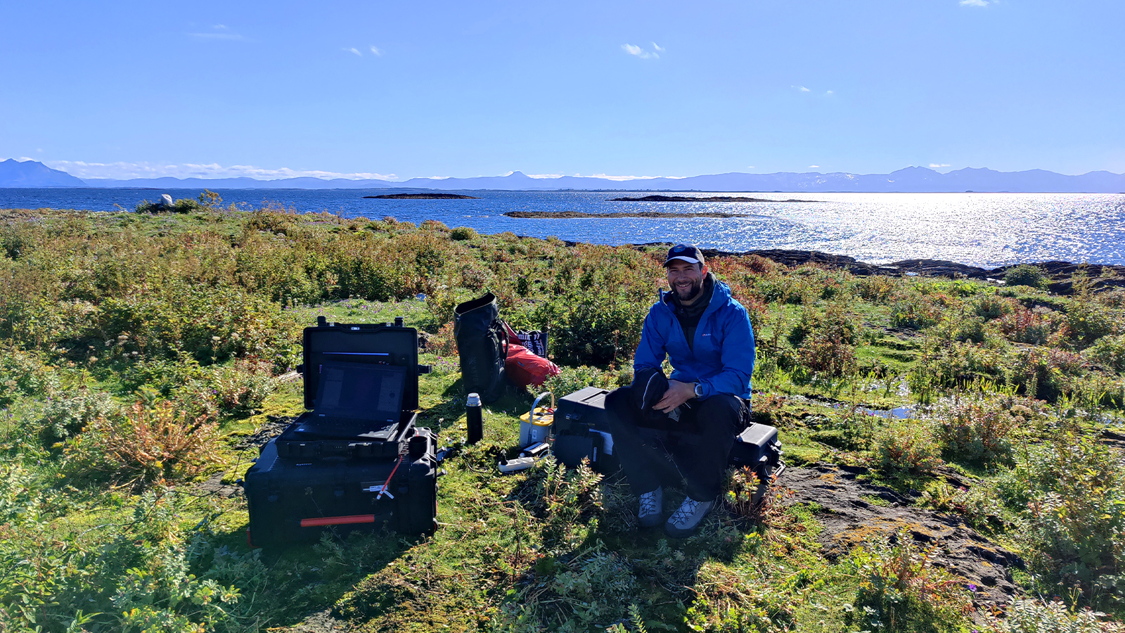
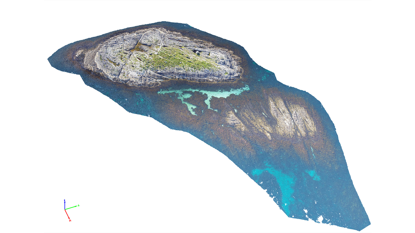
SpectroFly found that surveying areas with small islands or rocks disrupting the water made data collection easier. However, as they are surveying remote locations, the drones sometimes struggled to maintain RTK connectivity, which was mitigated with the use of GCPs.
The final challenge was landing their fixed-wing drone on coastal, rocky terrain. It would be a disaster to land the drone in an area with water or for it to be damaged by rocks. The SpectroFly team carefully planned their landing sites and even laid out small blankets to avoid the drone having a bad landing.
Furthering marine research with photogrammetry
SpectroFly’s results were processed with PIX4Dmapper. The aim was to create both orthomosaics as well as reflectance maps to look at both the terrain and plant cover and conditions. All of the data was collected in August of 2022, working quickly in good weather to ensure the data was consistent and usable.
Thanks to the ease of use of the software and the results with both RGB and multispectral datasets, the SpectroFly team had results that the research teams are using to learn more about the coastlines. The use of a mix of GCPs and RTK helped the team accommodate for connectivity difficulties in the remote location and thus retain geospatial accuracy in their results.
"Pix4Dmapper is simple, easy to use, and it just works! Provides good quality outputs without complex processing steps." - Toms Buls, GIS Analyst/Drone Operator at SpectroFly
The research from this project will be used to inform management and policy on marine environments in Norway. Not only that, but the success of the project is proving to people across the country that drone surveys are a reliable and valuable tool for analysis - be it over terrain or the coast! With their results, SpectroFly is collaborating with SeaBee in research and championing the cause of bringing drone surveying to new sectors - however remote they may be.