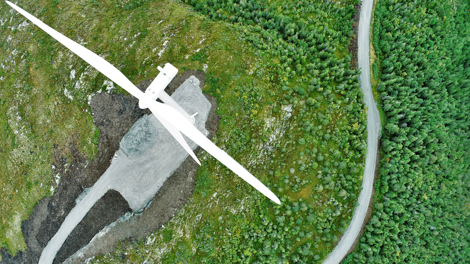
Topographic drone survey of a planned wind farm
Aerial Vision, a drone topographical surveying company experienced in the energy sector, was commissioned to inspect an area in central Scotland for the proposed development of a wind farm.
Unlike traditional topographic surveys, which take time and produce a set of lineworks, topographic maps with drones can produce orthomosaics, contour maps and digital surface models (DSM) as well as digital terrain models (DTM), and dense point clouds. The result is highly accurate datasets, which provide more information whilst saving time.
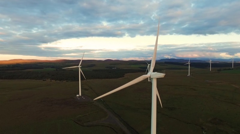
The proposed wind farm will comprise of four wind turbines with 125-meter tip height, producing 13.2 Megawatts of electricity: enough to supply power to 6398 homes. Because the turbines are so large, land surveying is necessary before work begins to plan their distribution and spacing.
Aerial Vision was commissioned to provide a detailed topographic survey of the ridge and surrounding land area. They chose to do aerial surveys using drones to collect their data. Aerial mapping renders data with high accuracy in less time than traditional methods.
Project details
| Company | Aerial Vision |
| Country | Scotland |
| Industry | Inspection |
| Project date | February 2016 |
| Project members | Aerial Vision , Geo-4D |
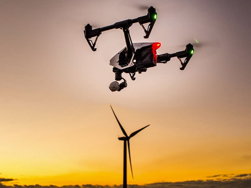
| Hardware | DJI Phantom 3 |
| Software | Pix4Dmapper photogrammetry software |
| Project size | 11 Hectares |
| Number of images | 181 |
| GSD | 2.6cm |
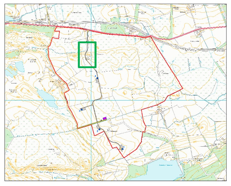
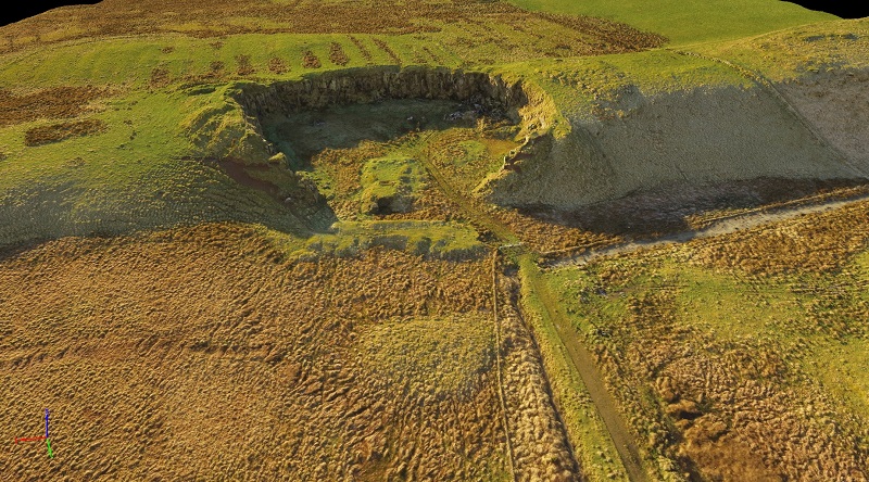
The site contains a glacial ridge and old quarry with steep vertical faces. The access is from the north of the site and the four turbines are south of the ridge, and thus the access track needs to ascend and descend this ridge and the gradient and curvature of bends must be carefully controlled due to the mass and wheel base of the vehicles transporting the wind turbine components. The varied layout of the site meant that using a drone for topographic surveying would be more efficient than manually inspecting the area.
Capturing the data
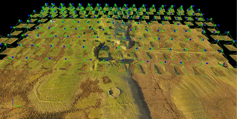
As the survey area was small and close to the road, a rotary drone was used to capture data. The site area under investigation was mapped using a DJI Phantom 3 and a compatible flight control system. A flight plan was created at an altitude of 60 meters from the top of the ridge, which enabled the camera on-board to take images with a 2.6 centimeter ground sampling distance. During data processing, this generates high quality results. The flight corridors are close enough to give a 70% image side overlap to ensure accurate 3D modeling and representation. Drone topographic survey accuracy can be compromised if there is not enough overlap between images, as this enables the software to stitch together objects from different angles.
Creating the topographic map
Geo-4D, a photogrammetric consulting and training company from the UK, provided image processing support, using Pix4Dmapper to generate a precise 3D point cloud from the aerial images. RTK GPS data collected on site was used as ground control points (GCPs) and processed with the image dataset, providing < 5 cm horizontal and < 10 cm vertical accuracies.
From the topographic maps using aerial photos, they produced a careful, curved route that satisfied the required criteria was able to be chosen to the west of the old quarry.
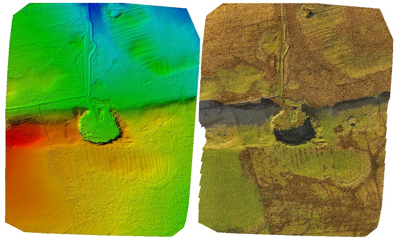
The outputs produced were: a digital surface model (DSM), a digital terrain model (DTM) (obtained by removing the above-ground features such as trees and buildings), and a georeferenced orthomosaic in RGB. The DSM and DTM were down-sampled to a one meter resolution by request of the client and put into a GIS software program along with the orthomosaic, allowing the design team to plan the access track.
Why use photogrammetry for topographic surveys
Drone photogrammetry produces LiDAR quality analysis results at a fraction of the costs associated with LiDAR. If required, analysis of the results can provide accurate cut and fill volumes in Pix4Dmapper as well as be exported to GIS or CAD software packages for advanced spatial analysis and/or professional charting. This includes use for tasks such as generating contour maps from aerial survey data. Of course, when LiDAR and photogrammetry are combined they bring more detail to a topographic project that may not have been achieved by either individually.
From this model, a rendered ‘fly through’ video was created. This is an .mp4 movie file that can be viewed on pc, mac, tablet, iOS and android platforms, perfect for public exhibitions. Drone surveys offer this feature unlike typical surveying due to aerial mapping rather than ground-level traditional methods.