Surveying the biggest solar park in North America
Solar power is growing in popularity around the world. Solar farms can be huge, and produce immense quantities of power without the same carbon footprint as fossil fuels. The Americas are a big market for growing solar power demand, and solar farms need to be inspected to ensure everything is running smoothly.
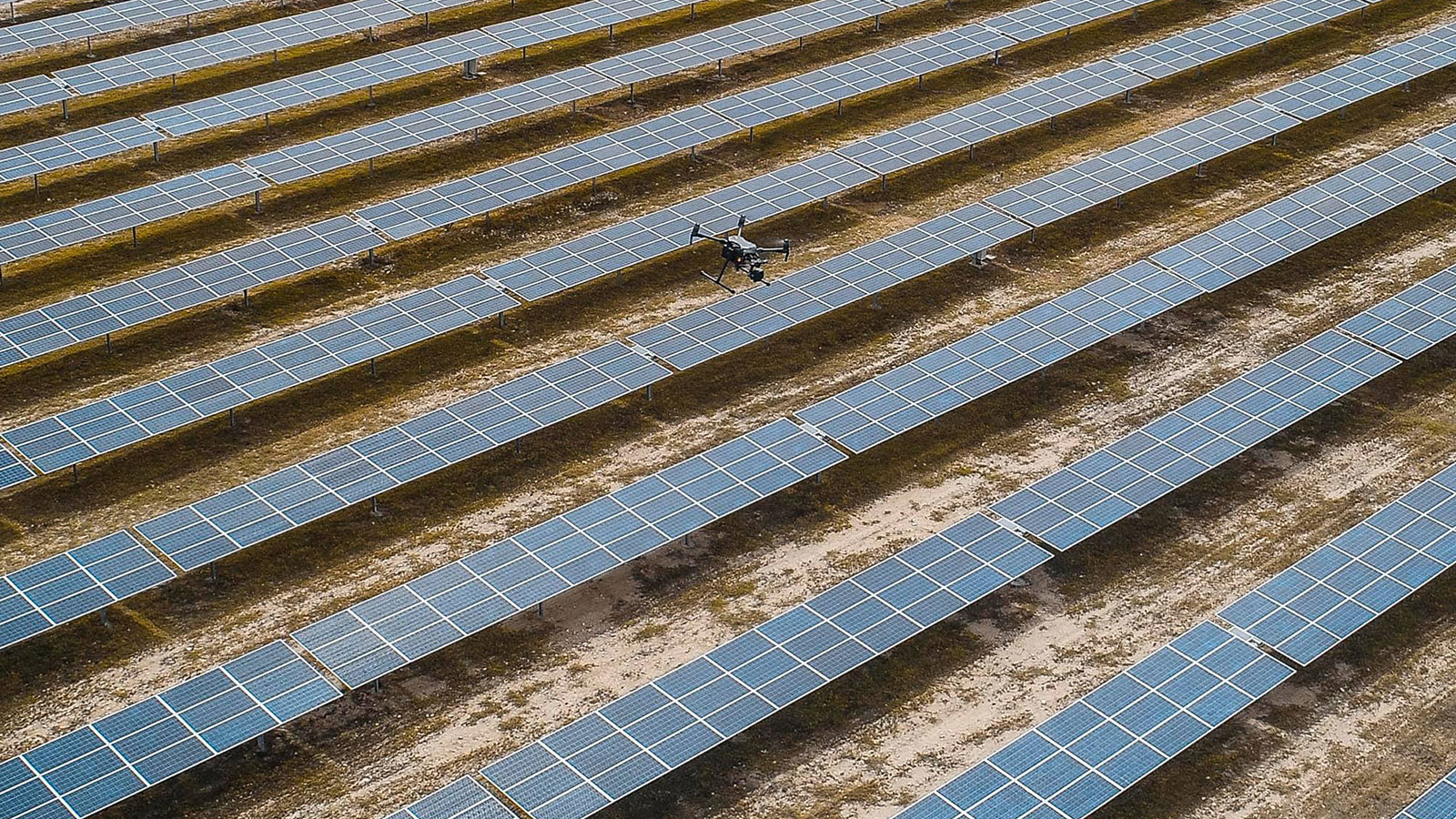
Pix4D Ambassador CoatzaDrone is a Mexican company with offices across Latin America, and has pioneered the implementation of drone inspection services across the region. Aerial surveying is already in use for topography and civil engineering applications, as well as precision agriculture applications using multispectral cameras. For working with solar farms, CoatzaDrone produces reflectance maps to assess the state of photovoltaic panels.
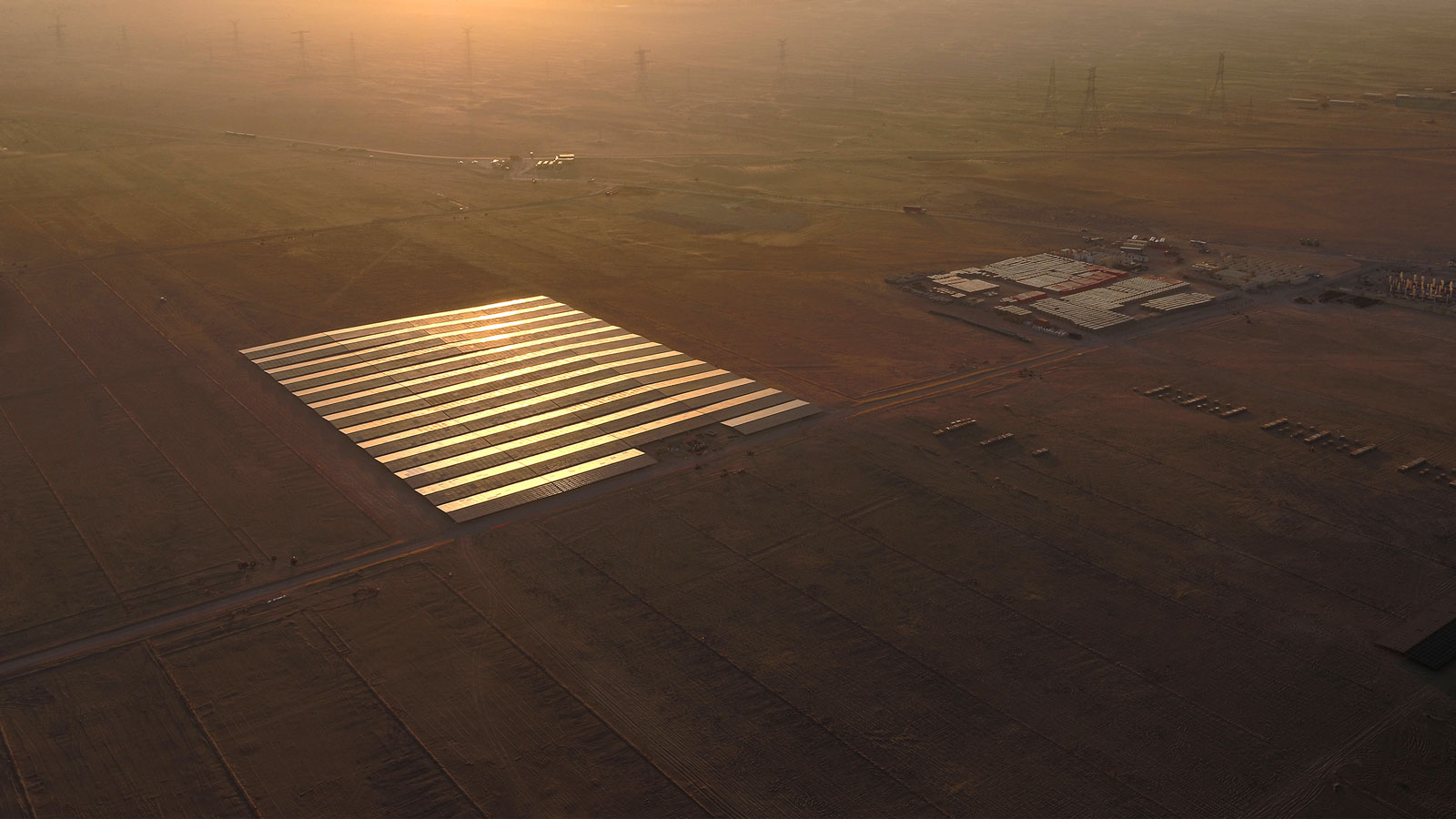
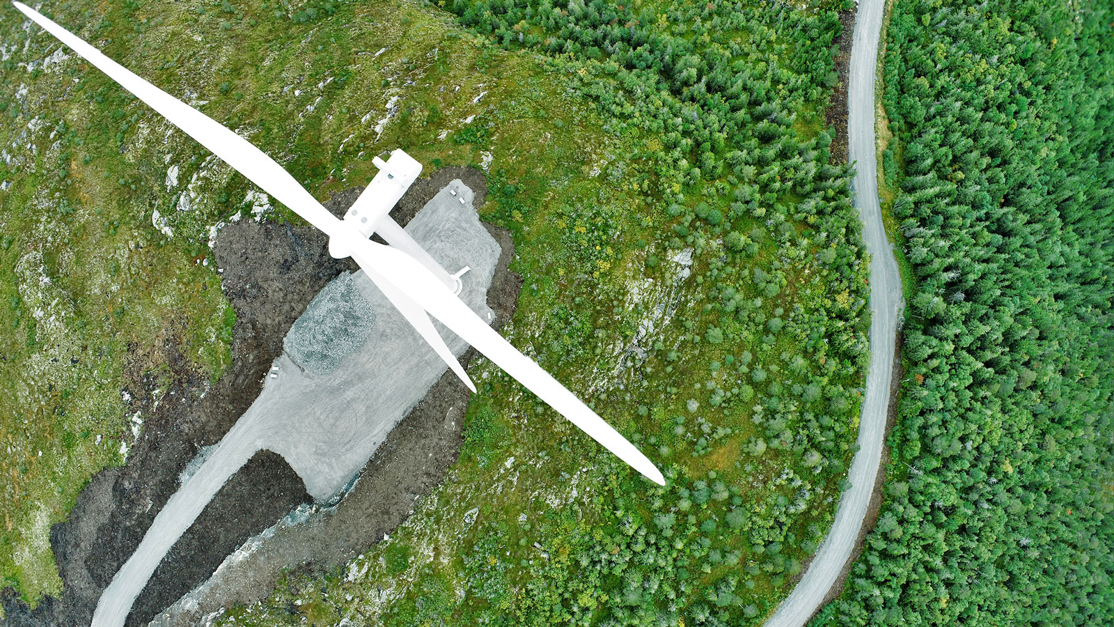
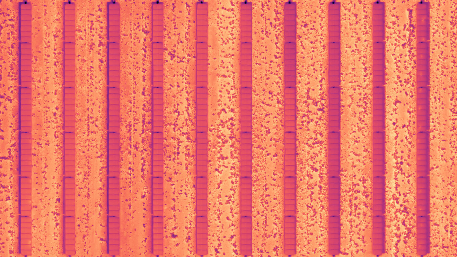
The largest solar plant in North America is called Villanueva Solar Park and covers 24 square kilometers in rural Mexico. It produces 828 MW of energy. Green energy power plants often cover large spaces, and need regular inspections, as in the case of wind farms. CoatzaDrone wanted to carry out a successful, efficient workflow that supported decision-making. As outputs, they planned to acquire RGB and thermal imagery data to process and generate RGB and thermal orthomosaics. The project’s total delivery was two weeks including data collection, processing, orthorectification, and results analysis.
Project details
| Location | Mexico |
| Users | CoatzaDrone |
| Software | Pix4Dmapper |
| Drone hardware | DJI Matrice 200 with Zenmuse XT2 640x512 30Hz |
| Total images captured | 54,000 |
| GSD | 3.5 cm |
| Area surveyed | 24 square kilometers (subfields of 150 hectares) |
| Processing time (in sets of 6,000) | 16 hours |
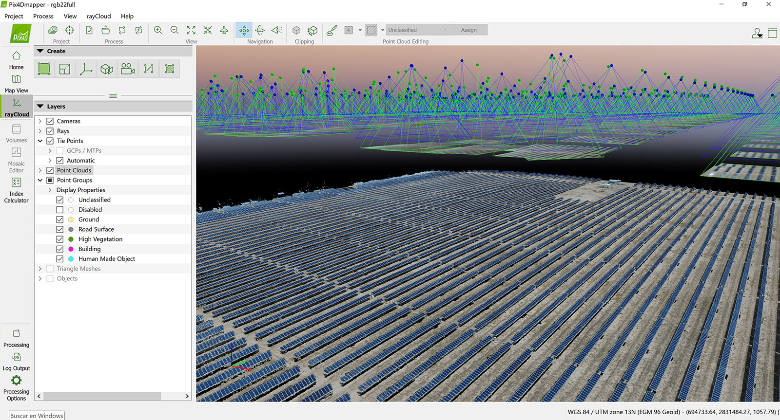
Surveying a solar park
Aerially mapping an area of this size causes several challenges, particularly to do with changes in light. As light changes during the day, it can cause distortions which can cause issues during processing in photogrammetry software. So CoatzaDrone flew in weather as constant as possible to ensure they minimized the effect of changing light on the imagery data collection.
Smart solar panel inspection means users take advantage of the technology available without over complicating affairs. Once the data was collected, it totaled 54,000 images, which is too large to process in one go. The dataset was divided into 9 subfields with an area of 150 hectares each for easier manipulation. This gave about 6,000 images per subfield, which was a more manageable chunk of data. It was then processed in Pix4Dmapper, taking 16 hours per subfield.
Working with elite photogrammetry software
Currently, many solar farm inspections using drones are processed by drone service providers through third-party analytics platforms. Working with Pix4Dmapper gave CoatzaDrone and their clients the option to work with powerful, accurate photogrammetry software directly on their desktop. They could produce reliable reconstructions in 2D and 3D free of distortions.
Pix4Dmapper also provides guaranteed quality of exportables and outputs, with powerful processing capabilities. It has further benefits in that it includes processing algorithms that maintain high accuracy and detail.
Furthermore, Pix4Dmapper is an easy-to-use tool that can be easily implemented into workflows. They chose Pix4D because it is one of the only drone photogrammetry software that supports thermographic image processing alongside product quality and improved camera calibration algorithms.
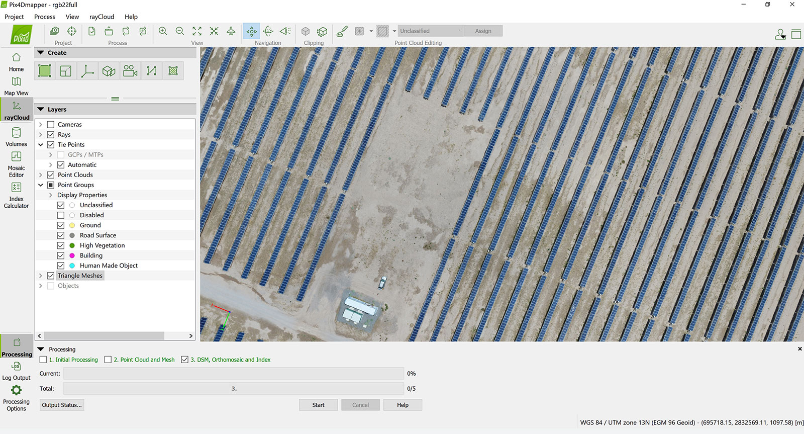
Outputs of inspecting a solar power plant
For CoatzaDrone’s client, providing both RGB and thermal orthomosaics meant the client had actionable results relevant to analyzing the solar field. The detailed insight into the status of individual solar panels as well as the wider site as a whole are critical for the decision-making process.
"Large site surveying can be very long
with manual labour, but working with drones makes data collection quick, and Pix4Dmapper gave us the accurate, quality results that our clients needed. " - Alvaro Ruiz, CEO of CoatzaDrone
CoatzaDrone used Pix4Dmapper to facilitate the inspection of a more environmentally friendly energy source, gathering a huge quantity of data and saving themselves and their client’s time and money that would have been required for a manual or terrestrial inspection. This immense solar plant being mapped is just one of many projects completed by CoatzaDrone and demonstrates just how effective and useful drone photogrammetry is.