Aerially mapping the unprotected wetlands of New York State
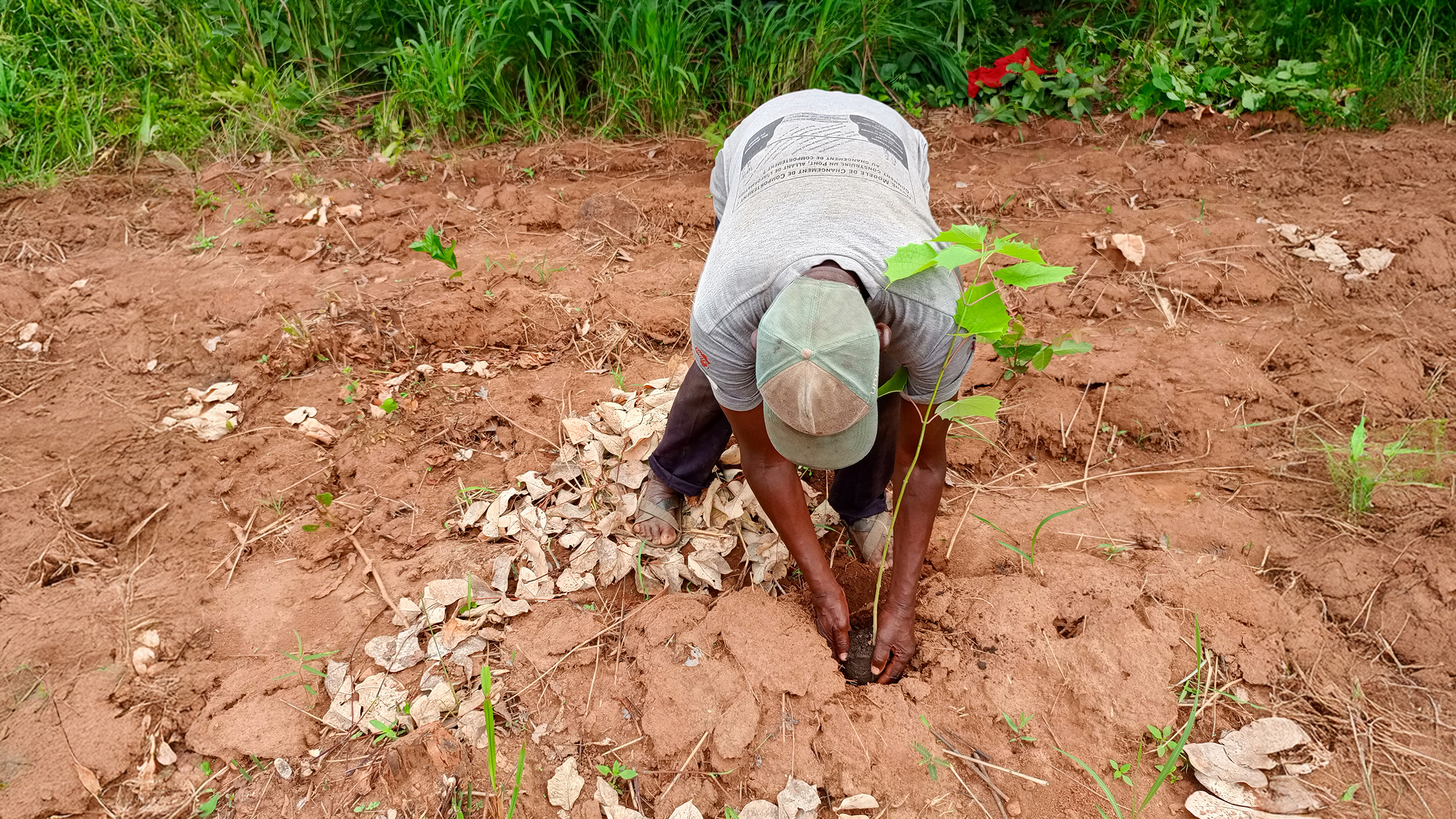
What are the requirements for responsible land management? There are several factors to consider, ranging from tracking upcoming construction plans to the need to protect local water supplies. In the USA, wetlands are under increasing threat from construction, agriculture, and human activities. An EPA survey in 2011 found that 48% of wetlands were in good condition, 20% were in a “fair” condition, and 32% were in a poor state. In New York state, wetlands in the Hudson Valley, Delaware, and Neversink areas are heavily impacted by agriculture and development. Unidentified wetlands are in danger of further degradation because they have not been placed under any protection or regulation. The wetlands need to be identified and mapped so that they can be registered and protected or managed.
NYenvironcom is a land-use focused environmental and sustainability nonprofit working in New York state. Their mission is to help create, strengthen, and build thoughtful water and land-use policies that can benefit the environment, local communities, and the economy. They provide data about the terrain and waterways to local decision-makers, residents, developers, and community members in Orange, Sullivan, and Ulster counties. Through its TerraINscape program, NYenvironcom is monitoring water quality and mapping wetlands for conservation. Wetlands are important sources of biodiversity as well as carbon stores, helping in the fight against the climate crisis. This is how drones and aerial mapping are helping NYenvironcom to identify and analyze wetlands that have not been officially recognized yet!
Project details
| User | NYenvironcom |
| Location | New York State |
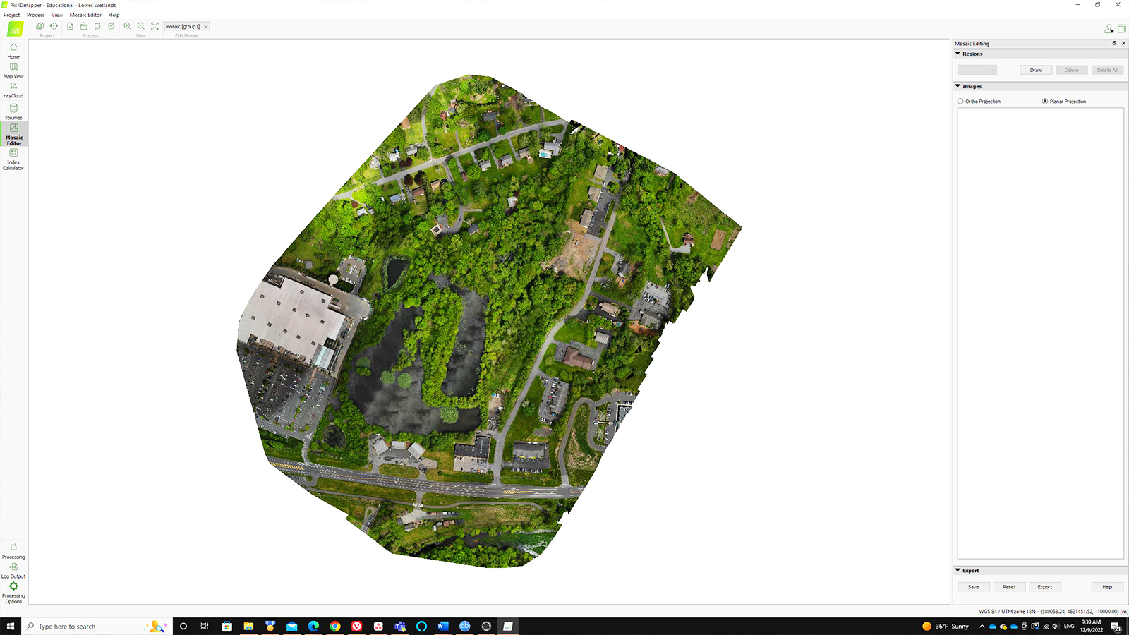
| Software used | PIX4Dmapper |
| Hardware used | DJI Air 2S Mavic Enterprise Inspire 2 |
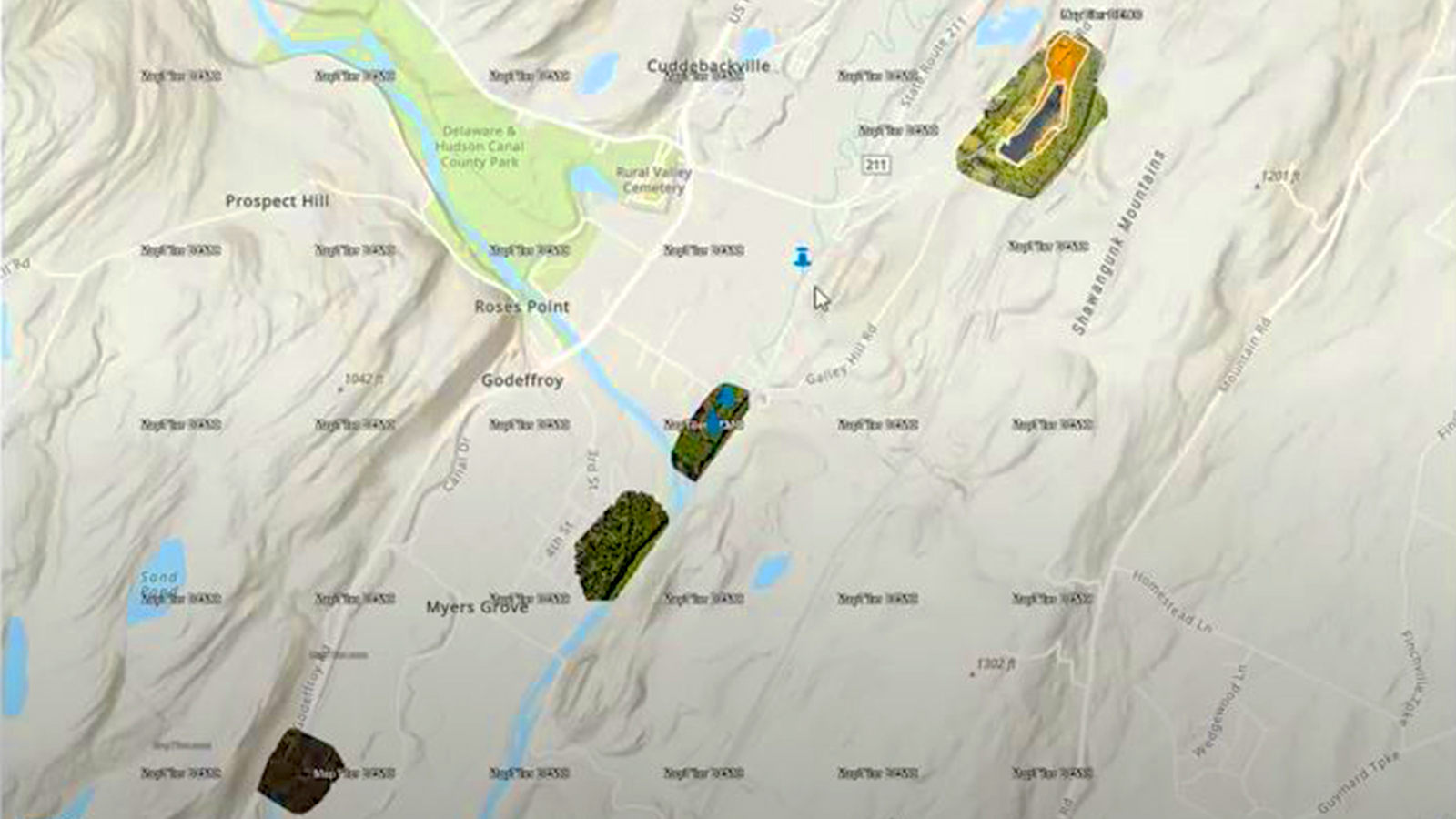
| Area surveyed | 300 acres statewide |
| Images captured | 1,000+ |
| GSD | 300 feet (91 meters) |
The search for missing wetlands
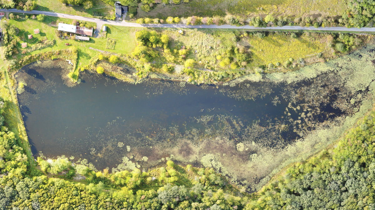
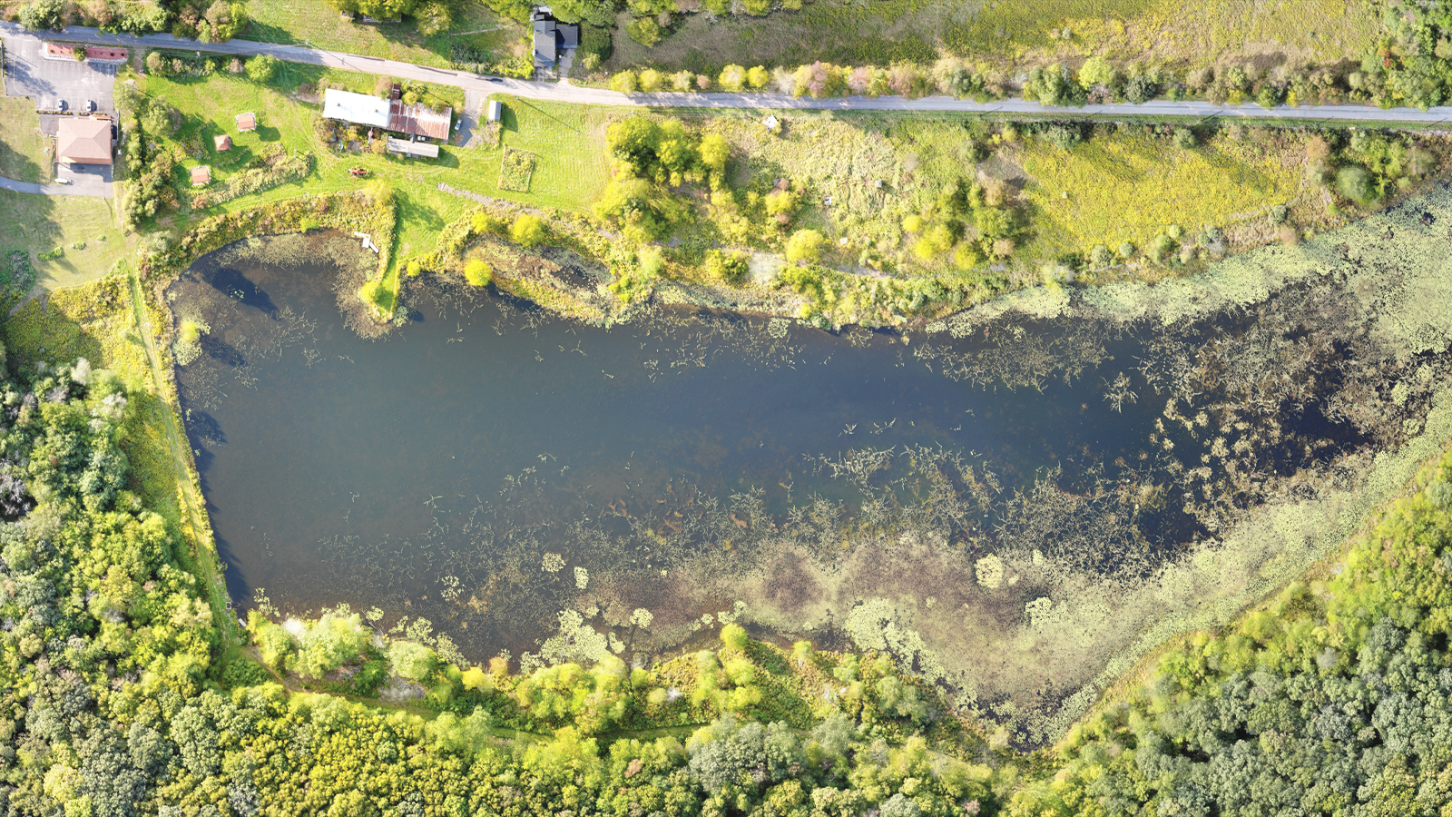
Wetlands are areas of waterlogged land that are a haven for natural life. They can act as a natural flood defense, as well as filtration systems for water to purify it of pollutants. NYenvironcom’s dedicated wetland mapping initiative, TerraINscape, identifies, maps, and analyzes wetlands that have not been officially recognized. TerraINscape is particularly focused on areas in the Lower Hudson and Neversink Valleys. Aerial mapping for open water can be a challenge due to water reflecting sunlight, but for situations like wetlands or mapping flood damage, drone mapping can be a large help.
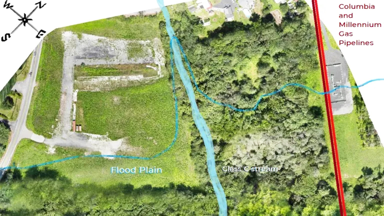
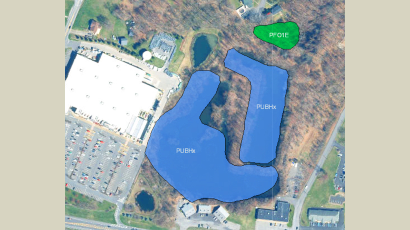
The workflow begins with a flight over the area with one of their drones. A drone map can render a digital elevation model with PIX4Dmapper. Using the software, trained scientists locate low-lying areas through topographic analysis. They will then utilize existing datasets from previous maps or identified wetlands to compare if this could be a potential wetland location.
With the drone map, scientists locate the wetland on the ground and survey the wetland area. By doing so, NYenvironcom’s team validates a wetland's discovery before they investigate the wetland’s health. The area is delineated to find an accurate boundary of the wetland. Special surveys are then carried out to identify invasive and native species in the marsh/wetland, along with the soil condition, vegetation classification, and water quality. Once a wetland has been confirmed and assessed, the maps are compiled and prepared for submission to regulatory agencies as well as published in research papers.
Obstacles to wetland mapping
Drone mapping can face obstacles from mapping moving terrain to strict drone control laws. The TerraINscape team faced unpredictable weather, which is a feature of upstate New York. They also had to use multiple geospatial database sources for the wetlands and investigate inconsistencies.
The team planned their drone flights around bad weather. For large surveys, they used multiple flights and tried to fly when the wind was lower to avoid problems with data collection. Too much wind can cause distortions if the shape of the grid or map is generated when a drone is blown off-course by the wind. For this reason, the TerraINscape team spent a lot of time trying to ensure their flights were in the most appropriate weather conditions.
Protecting the environment with drone mapping
Thanks to the situational awareness that aerial mapping with UAVs can provide, many organizations are using it to protect the environment, whether through reforestation projects or wider, larger-scale projects like mapping the Amazon rainforest with drones.
For NYenvironcom, they are broadening horizons for wetland identification and analysis with PIX4Dmapper. They have successfully mapped several previously unknown or unrecognized wetland areas, as well as some urbanized and natural wetland habitats. In the future, they want to include their maps in an app to streamline verifying wetlands so the wider public can be involved in the process.
This project was launched in the summer of 2022 and will continue over the course of the end of 2022 and early 2023. It will be supported and progress over several years.
“Pix4D is essential for our project. The software is easy to use and processes images effectively. It is useful for our wetland mapping project from start to finish.” says Ken Johnston, Wetland Ecologist at the Vermont State Department of Environment Conservation.
“The one thing I have enjoyed the most with using Pix4D is the learning and training. There is a plethora of training materials, videos, and articles to learn from."
Hopefully, the NYenvironcom project dedicated to identifying and protecting wetlands will be able to find multiple new sites and register them with the authorities for appropriate recognition and legislative protection.