Responsible reforestation with drone mapping in Malawi
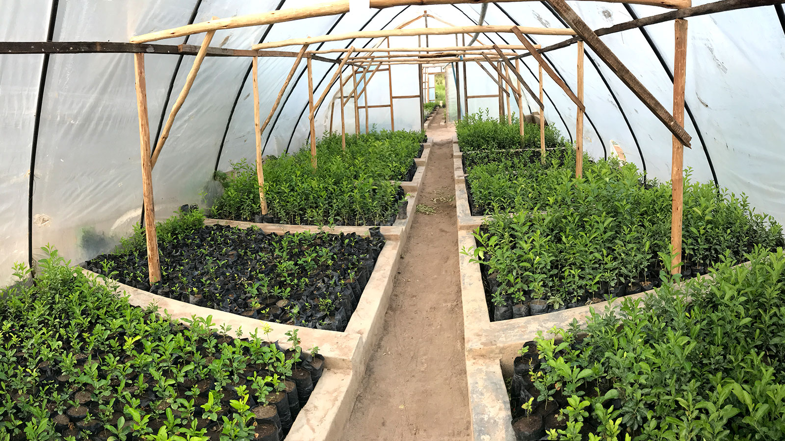
Planting trees is often hailed as a critical part of mitigating the effects of climate change. However, if you plant certain trees in the wrong place - such as a eucalyptus in a wetland - it may do more damage than good. Responsible reforesting is crucial, and tracking plant progress is helpful in making sure young saplings are growing well.
Wells for Zoë is an Irish non-governmental organization (NGO) that began their work in 2005 providing access to safe clean water for rural communities. Their work has brought water to ca. 750,000 people through production and installation of their Zoë-pump in Malawi. The organization works with volunteers that help coordinate teams on the ground. Wells for Zoë has only a few voluntary members in Europe, but currently employs about 60 full-time and 400 day-workers just in Malawi, where they have been working hard on several reforestation projects.

Wells for Zoë promotes the planting of indigenous trees - ones that are native to the area and thereby good for the local environment. This responsible reforestation has attracted donors dedicated to fighting the climate crisis through scientifically proven methods, including the search engine provider Ecosia. Ecosia is one of Wells for Zoë’s partners and feature the planting progress in the Ecosia reports which share the results of tree planting projects. Across Malawi, Wells for Zoë supported community planting of 3 million indigenous trees in the 2020-2021 Season. As an NGO, Wells for Zoë receives money in donations and has a 100% donor guarantee. This means that all the donations they receive go straight into their projects. They needed to find a way to not only check on their reforestation projects, but prove to donors how the money was being spent.
Finding the best photogrammetry software
Wells for Zoë was looking for a way to map their reforestation projects and share key information with donors. Kevin Dalferth, one of the volunteers based in Europe, had the idea to use photogrammetry. He started searching for the best photogrammetry software and innovative uses of drone surveying. While doing research, he came across the Pix4D project where we mapped the Matterhorn in Switzerland. He read up on how PIX4Dmapper is a specialized photogrammetry software, and realized this was the best solution for Wells for Zoë.
PIX4Dmapper has been used by NGOs and charity projects around the world. The product has an intuitive feel that makes it user friendly software which delivers specialized results. Other drone surveyors have used PIX4Dmapper for similar projects working on supporting local communities, ranging from helping to relocate indigenous populations to mapping vulnerable mangrove swamps. This drone mapping software is supporting charities like Wells for Zoë in making a difference.

Once Kevin secured a PIX4Dmapper license, he needed to learn how to use photogrammetry software as he had no prior experience with it. To learn how to use PIX4Dmapper, Kevin took advantage of the training materials and tutorials available on Pix4D’s YouTube and Support sites, as well as looking at the Pix4D Community. He practiced mapping sites in his local area to get used to working with point clouds and generating orthomosaics. Kevin planned to fly to Malawi to do the drone mapping himself, but the pandemic caused a change of plans.
Project details
| Location | Malawi |
| User | Wells for Zoë |
| Total images | 20,000 images split over several projects |
| Software | PIX4Dmapper |
| Hardware | DJI Mavic Pro |
| Processing hardware | CPU: AMD Ryzen 3900X, RAM: 64BG, SSD: 2TB, OS: Win10 |
| Processing time | Up to 13 hours |
| Outputs | Orthomosaics and Google Maps Tiles for easy integration OR DSM, 3D-pointcloud, simplified pointcloud and Google Maps Tiles |
| GSD | 1-2cm/px (0.4 - 0.8 inches) |
Overcoming the obstacles
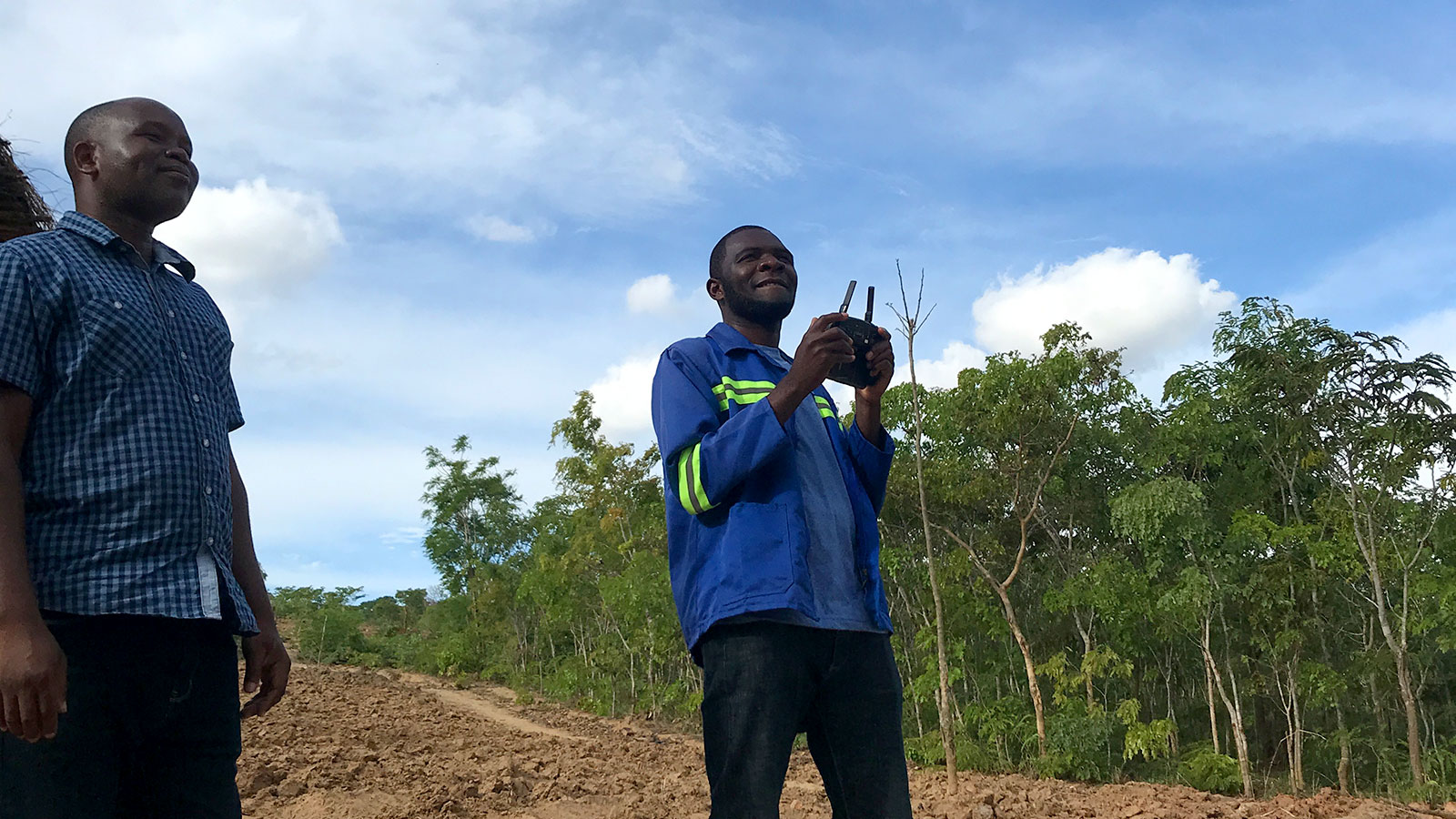
When Kevin realized he could not travel to Malawi due to Covid travel restrictions, he and the Wells for Zoë team had to improvise. His drone was shipped out to Malawi and delivered to his team on the ground. Over WhatsApp calls, Kevin taught a local employee, Lovemore Lemon, the head of the reforestation project, how to fly the drone. They practiced and perfected working with the drone.

To plan the drone flight, Lovemore walked around the areas being reforested with a mobile device to collect GPS data with a specialized app. The data was sent as a .kml file to Kevin, who made a flight plan on the flight planning application Litchi. The drone could then be flown offline including several battery swaps by the team on the ground without needing Kevin.
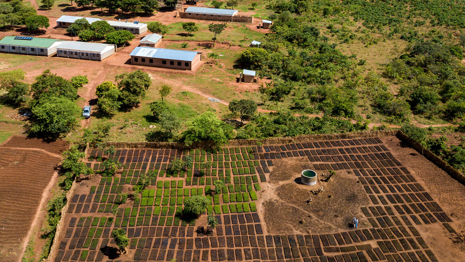
The flights went ahead without issue, and the data was shared via OneDrive from the office in Malawi. There were several different flights over multiple locations, each needing slightly different outputs, which were imported to PIX4Dmapper. Kevin, who had the PIX4Dmapper license, processed the data himself. Their datasets made up largest map ever generated by Wells for Zoë and perfectly captured the different reforestation projects across Malawi. The mapping of the areas will be repeated at least annually to be able to observe and document the change in the local landscape through the reforestation.
The Ecosia Map – by Wells for Zoë is available to explore and view online, showing replanting sites and statuses. Pix4D's efforts have also helped sponsor a new water pump to provide fresh water to a village near Lisale, Malawi.
Why drone mapping is important
The outputs of this project are incredibly important to Wells for Zoë. As a charity organization, they want to prove to donors and partners that they are doing what they claim on their website. The outputs from PIX4Dmapper are therefore proof of concept and proof of promise for donors. It’s a way to make partners confident that donations of hundreds of thousands of Euros are being spent responsibly. Wells for Zoë don’t need to ask for donor trust as they have proof.
"Processing drone maps with PIX4Dmapper is like developing camera film in the old days. Capturing and processing the data can take time but the final pointcloud is always mindblowing." - Kevin Dalferth, Wells for Zoë
The added benefit of working with PIX4Dmapper in this way is that there is now a local team that has specialized and trained in drone surveying. They can now visit sites across Malawi and share datasets with the Wells for Zoë volunteers elsewhere without anyone having to travel long distances. It saves money whilst also empowering local communities to be more involved in the technological side of these charity projects.


