Keeping track: monthly stockpile measurements with drones
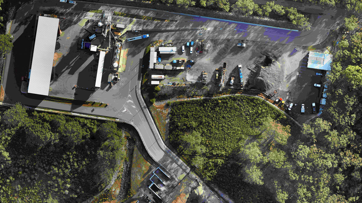
Stockpiles are constantly shifting - whether they are being added to, taken from, or moving shifting as a result of weather and volume changes. There are lots of environmental regulations in place to protect local habitats from stockpile contents. Asphalt is one of the most widely used materials in construction. It can be stored in aggregate stockpiles which need to be carefully monitored to check the stability and status of the material. Regularly measuring and assessing the stockpiles is a straightforward process when using drones.
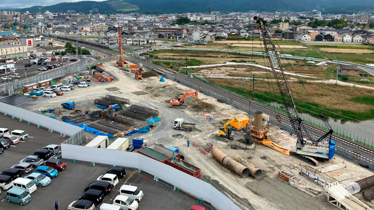
Construction is a growing industry for drone mapping, where as-built data can be checked and compared to as-designed records. In some cases, drone mapping in construction can help keep people safe with accurate records. Drones can also capture more data than people on the ground over larger spaces where it may be difficult to gain access, either due to tall, unstable stockpiles or large features such as rivers.
Linke & Linke Surveyors work across Australia, partnered with Pix4D's Premier Reseller in Australia C. R. Kennedy, and provide geospatial solutions to clients all over the country. Linke & Linke Surveyors has been using drones since 2013 and were quick to recognize the applications of drones in measuring stockpiles. They specialize in work on paving projects, such as airports and railways, making them industry experts on working with asphalt. One of their clients asked them to do a monthly stock take of asphalt stockpiles on their site, which Linke & Linke Surveyors has been doing every month for years.
Project details
| User | Linke & Linke Surveyors |
| Location | Australia |
| Software | PIX4Dcapture, PIX4Dmapper |
| Hardware | M300 with P1 |
| Area surveyed | 41 000 m2 |
| Total images captured | 600 |
| GSD | 1.2 cm (0.5 inches) |
Measuring stockpiles with drones
Drones give a view of the entirety of a stockpile, and thanks to precise geolocation technology, can provide accurate measurements of what they see. Linke & Linke Surveyors use the new P1 camera on a DJI M300 drone to collect their imagery. They used to work with a DJI Phantom 4, typically gathering 2,000 images to survey an area of 41,000 square meters. While working with the Phantom 4, the team used PIX4Dcapture to plan flights. Recently, Linke & Linke Surveyors added the M300 to their drone fleet. The M300 with the P1 camera needs just 600 images to survey the same area, which is a huge scale down. The flight time has also reduced to a third of what it originally was then the team started surveying this asphalt site. This is partly due to the new drone, and also due to improving their data collection and flying techniques over the years. For flight planning, the drone pilot team uses PIX4Dcapture to coordinate how they collect their data.
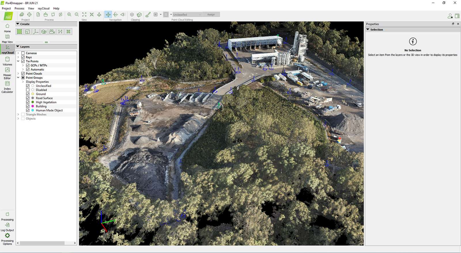
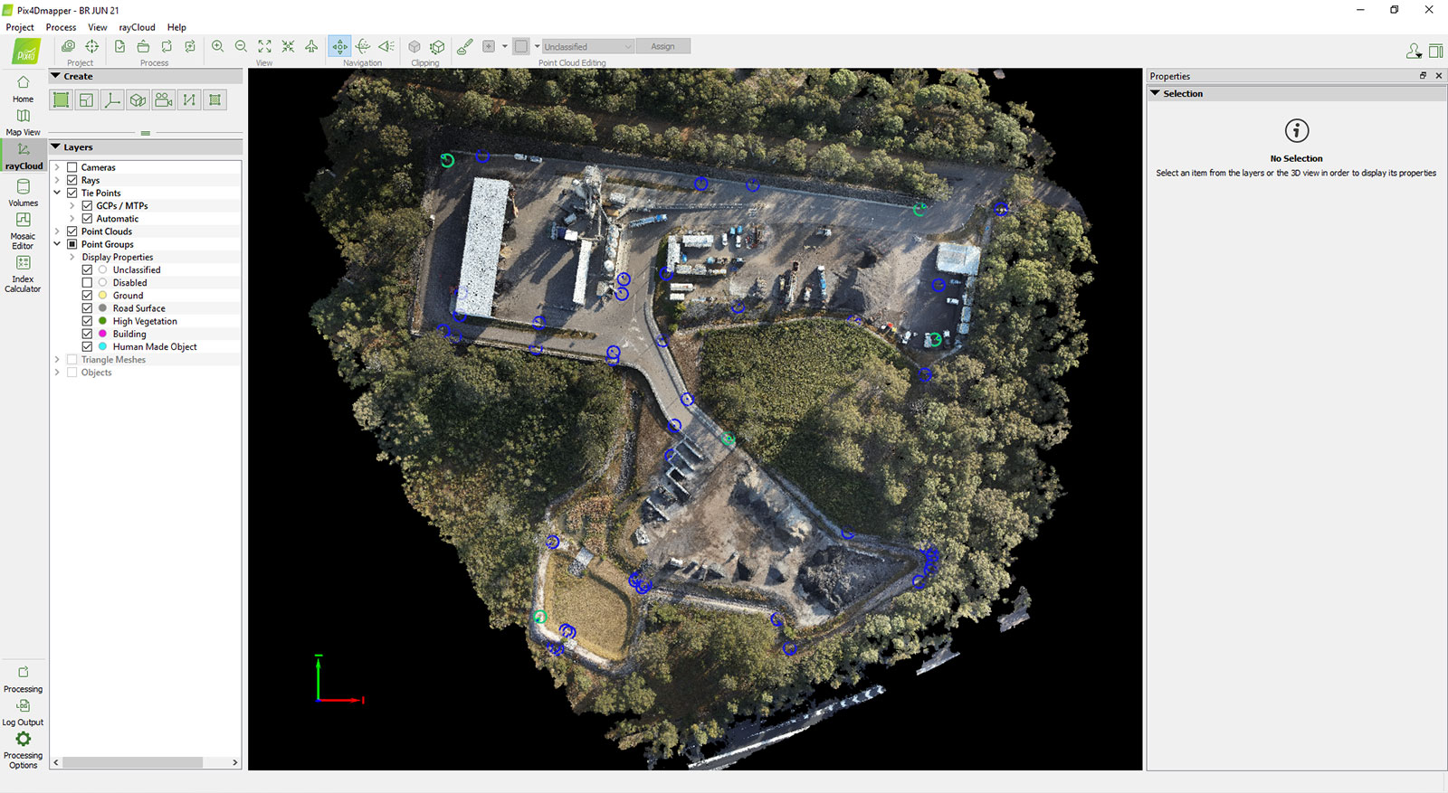
The data is then processed with PIX4Dmapper, rendering a GSD of 1.2 cm (0.5 inches). With experience on this site has come improved techniques not only in data collection but also processing. The photogrammetry outputs generated by Linke & Linke Surveyors are used for maintaining a record of the asphalt stockpile, tracking deposits, and withdrawals, as well as planning upcoming projects. The Australian Government also requires the site to be carefully managed for environmental protection.
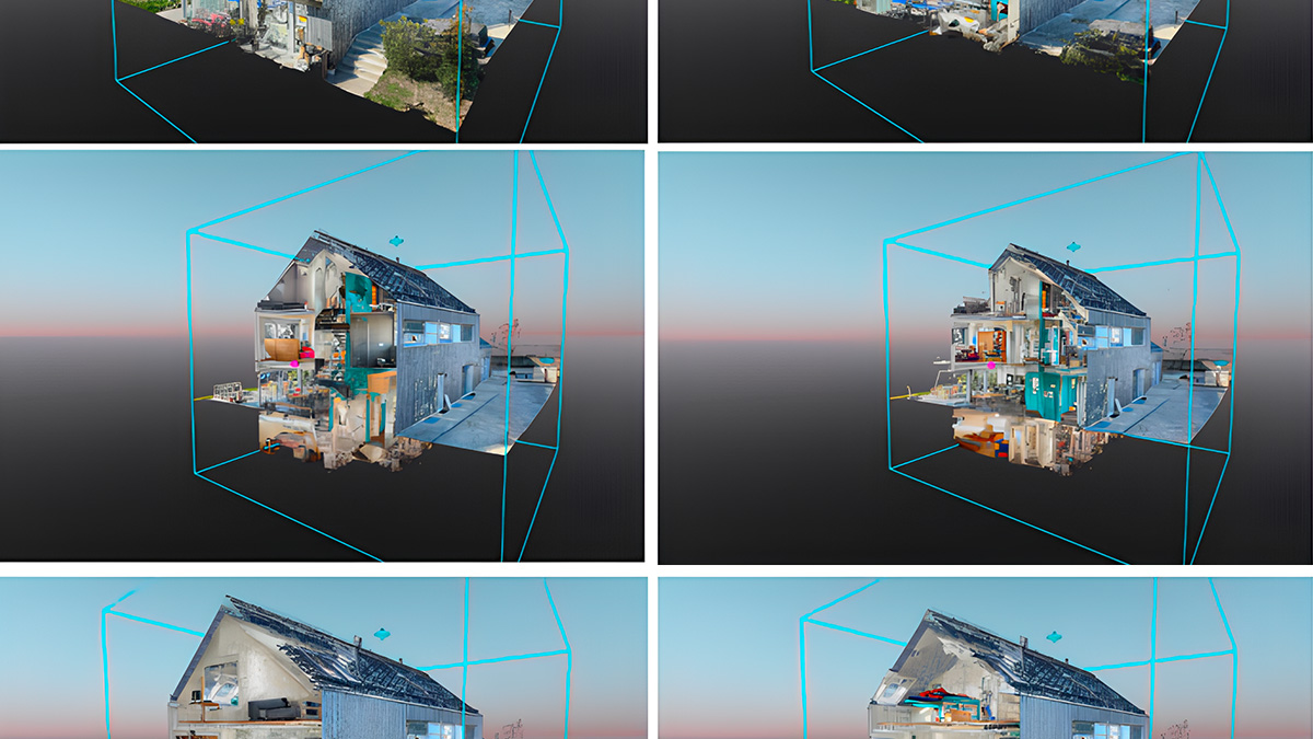
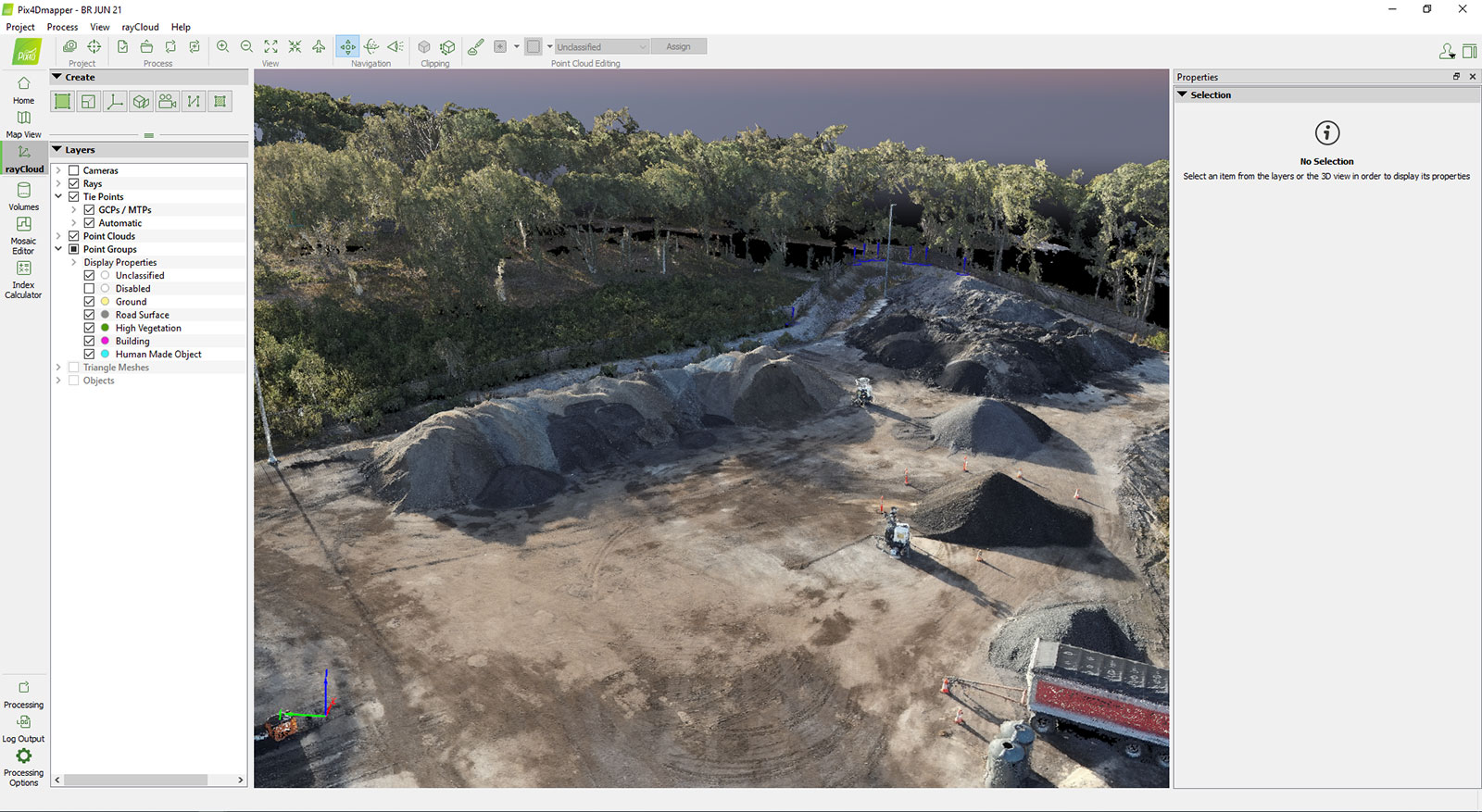
As a result of returning to this site frequently over the years, Linke & Linke Surveyors also have a map and model of the site with no asphalt on it, which is very valuable in monitoring changes to the stockpile and its local environment. This old record, as well as recent GPS surveys, empowers the owner to make informed decisions about their site thanks to drone surveying.
Benefits of drone surveying in construction
Linke & Linke Surveyors are the perfect example of the value of experience in drone surveying. They have been working with drones in surveying for almost a decade, watching the rapid changes in the industry. Their transition to using the new P1 camera shows the confidence they have in the results and outputs they generate, as well as a pursuit of accuracy. By transitioning to a new set of hardware, they have gained a return on investment in their photogrammetry workflow.
“PIX4Dmapper is set apart by its usability. It’s always been easy to import images and the software hasn’t changed drastically so you can still use it after many years”. - James Linke
Reliable results have fostered a long-term partnership that Linke & Linke Surveyors and their clients trust. Working with PIX4Dmapper over the years has allowed the Linke & Linke Surveyors team to take advantage of the best features of photogrammetry, with the best-suited software. PIX4Dmapper’s outputs have suited both as they work to optimize their operational workflows - whether that’s making deposits to an asphalt stockpile, or modeling the site itself!
