Architecture, Engineering & Construction (AEC)
Ground and drone mapping solutions
Applications
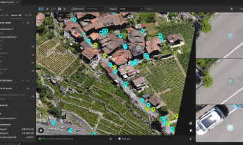
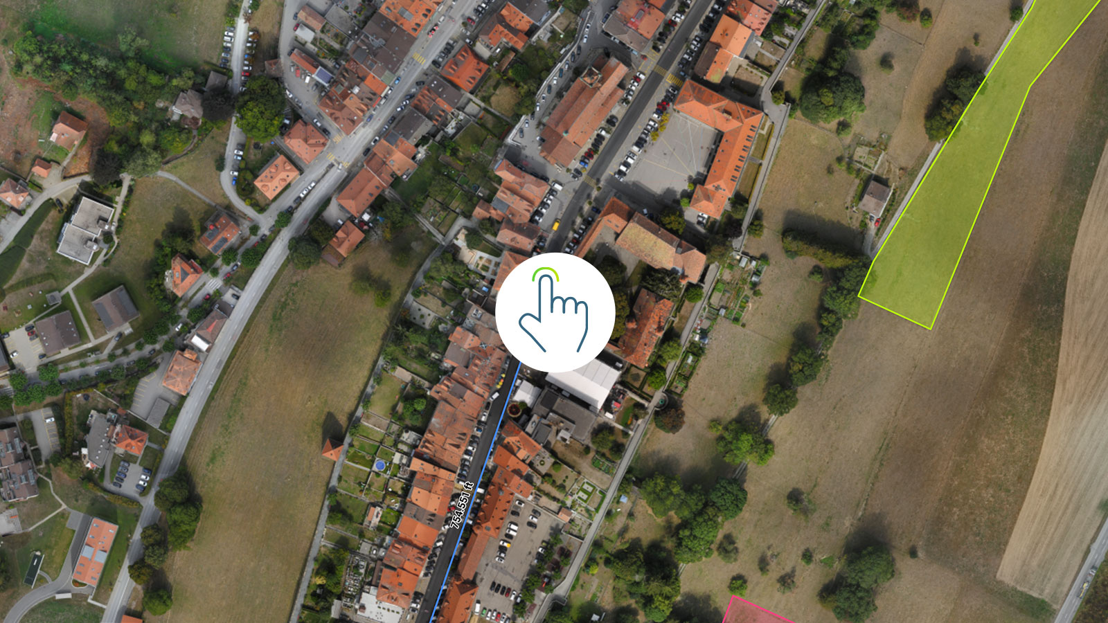
Project planning & design
Benefits
- Perform highly accurate topographic surveys
- Automatically extract manholes, drains and poles
- Assess project impact on local area (practical and aesthetic point of view)
- Easily export data into CAD or GIS software


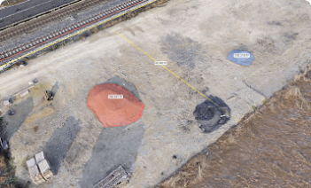
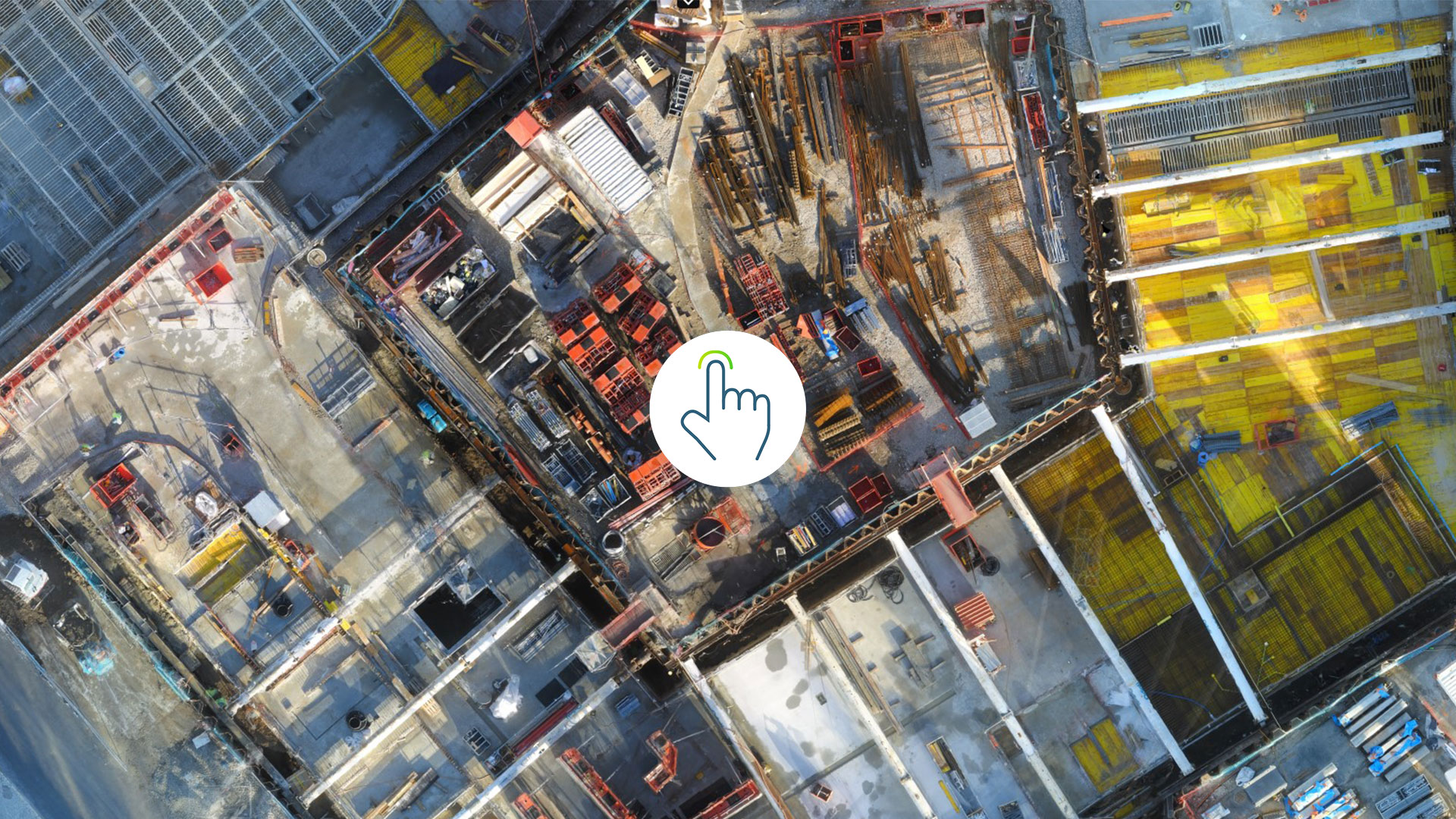
Excavation & groundworks
Benefits
- Measure how much dirt has been moved and manage billing accordingly
- Calculate cut-and-fill volumes precisely and reduce the margin of error
- Perform accurate haul cost estimates
- Quickly share progress with team and customers
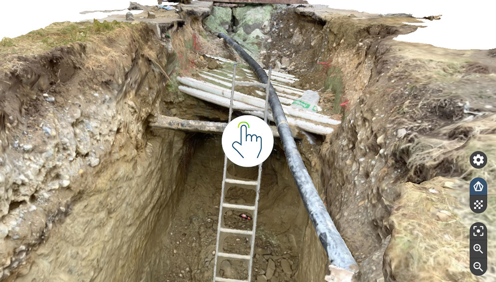
As-built verification
Benefits
- Get regular as-built updates of your site in 2D and 3D
- Visualize, measure, and track changes remotely at all project stages
- Compare as-built vs as-designed to identify errors early and avoid costly rework
- Avoid schedule deviations and logistics problems

Jobsite documentation
Benefits
- Create a digital record of the project organized chronologically
- Go back in time to check what happened to prevent and solve disputes
- Add additional information to your site to gain more insights
- Confirm subcontractor work easily and streamline billing
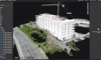
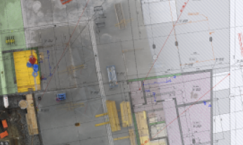
BIM integration
Benefits
- Import BIM models and visualize them in the existing terrain for better site awareness and planning
- Automatically export data to the Trimble Connect platform for seamless workflows
- Create deliverables ready for integration with BIM workflows
- Export deliverables to other BIM and CAD software for further actions

Boost productivity with efficient surveys and track your construction work progress
Use ground and aerial imagery to map, measure, analyze and report the progress on your project easily

Collect ground data instantly
Complete easy terrestrial scans with a mobile device and the PIX4Dcatch app. Add an RTK rover to get centimeter accuracy from handheld site scans to digitize sotckpiles, trenches, and assets.

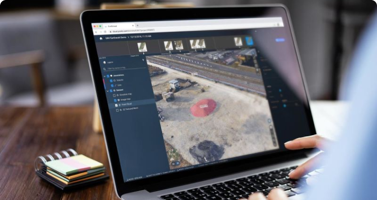
Desktop and cloud
Work locally and in collaboration with desktop and cloud-based solutions in PIX4Dsurvey and PIX4Dcloud. Seamlessly generate results and share them via a link.

Improved collaboration
Your data can be shared immediately with project stakeholders anywhere in the world for better communication and collaboration.

Plan missions
Straightforward data collection - on the ground with the viDoc RTK rover or aerially with drones. Pre-plan data collection flights or routes to target specific pain points.


Capture
Capture your site data aerially by planning a drone flight with PIX4Dcapture, or gather terrestrial data with the mobile scanning PIX4Dcatch RTK workflow.
Process
Process data locally on PIX4Dsurvey or online by uploading your data to PIX4Dcloud. Get notified when processing is complete and see your results.


Visualize & Analyze
Use your results to analyze your site in depth, including measuring distances, volumes, and annotating site features.
Share
Share results directly via PIX4Dcloud or use the Share-to-PIX4Dcloud feature on PIX4Dsurvey to share results via a link. Control the editing rights of collaborators.


Export
Directly import data to the Trimble Connect platform or export deliverables to other BIM software for further actions. Get outputs compatible with any CAD and GIS software
What type of license would suit you?
Educational
We offer research and classroom licenses to educational institutions. Bring photogrammetry to your course with a special offer.
DiscoverProfessional
Take your work to the next level. Use photogrammetry to offer new services and set yourself apart from your competitors with accurate, fast results. Choose the perfect product for you.
DiscoverEnterprise
Use our products for your enterprise. Incorporate them with your platforms or customize our algorithms for your use. Discover custom offers for your company.
DiscoverExplore construction projects