
Drones in school: students fighting climate change
Climate change is one of the biggest concerns in the world, increasingly drawing the youth into activism. The state of Arizona in the USA is the 4th fastest-warming state in the country, with a noticeable change in climate since the 1970s. As Arizona is largely composed of a desert environment, this worrying trend could be disastrous for the Grand Canyon State.
However, mitigating the effects of climate change is possible, and drones can be a part of this effort. Knowledge is power; understanding how the environment is changing and which areas are most at risk means authorities can work to minimize the effects and monitor growing threats like wildfires. Photogrammetry can help achieve this by providing high-resolution 3D data. It can also assess restoration efforts when trying to preserve environments like wetlands and rivers.
A collective project was born out of a collaboration between Northern Arizona University, the Tonto National Forest, Arizona State University, the National Forest Foundation, and Boeing: Green Drone AZ. This organization manages a science, technology, engineering, and mathematics (STEM) program that provides students and teachers within the Phoenix metropolitan area with curriculum and activities that address community environmental challenges. As the name suggests, UAVs and drones play a big part in this, as do GIS. For the size of the project, the team chose a powerful product for working at a large scale: PIX4Dmatic.
Project details
| Location | Arizona, USA |
| Users | Green Drone AZ |
| Software | PIX4Dmatic ESRI ArcGIS |
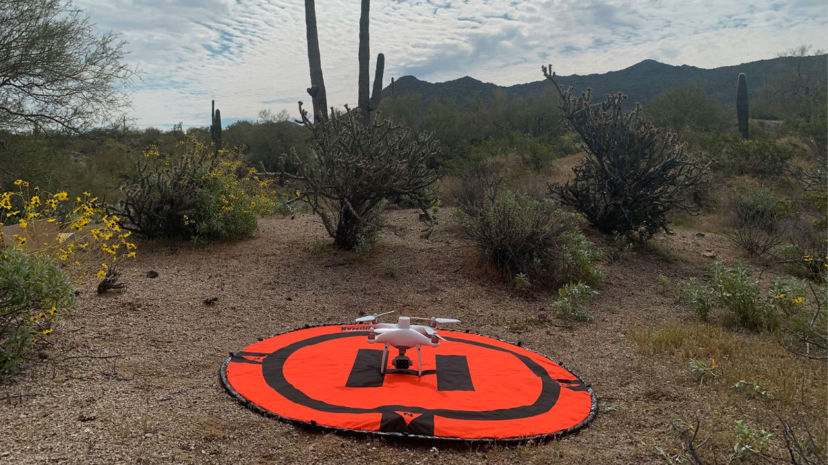
| Hardware | DJI Phantom 4 Pro |
| Images captured | 10,000 |
| Processing time | 23 hours 30 minutes |
Inspiring the future with drones
STEM subjects are critical in the fight against climate change. Encouraging students to understand and work with these areas will inspire a new generation of scientists and activists. Green Drone AZ is currently partnered with five schools and launched a year-round program for the 2020/2021 school year. The students are taught and trained by UAV pilots and professionals. Cutting-edge technology like drones and GIS are being provided to these youths to help them be a part of public land and natural resource management.
Several key modules are being taught by Green Drone, principally focusing on:
- Conservation and riparian restoration
- Remote/UAV data collection
- Data processing
- Understanding and using GIS
What does a drone education program look like?
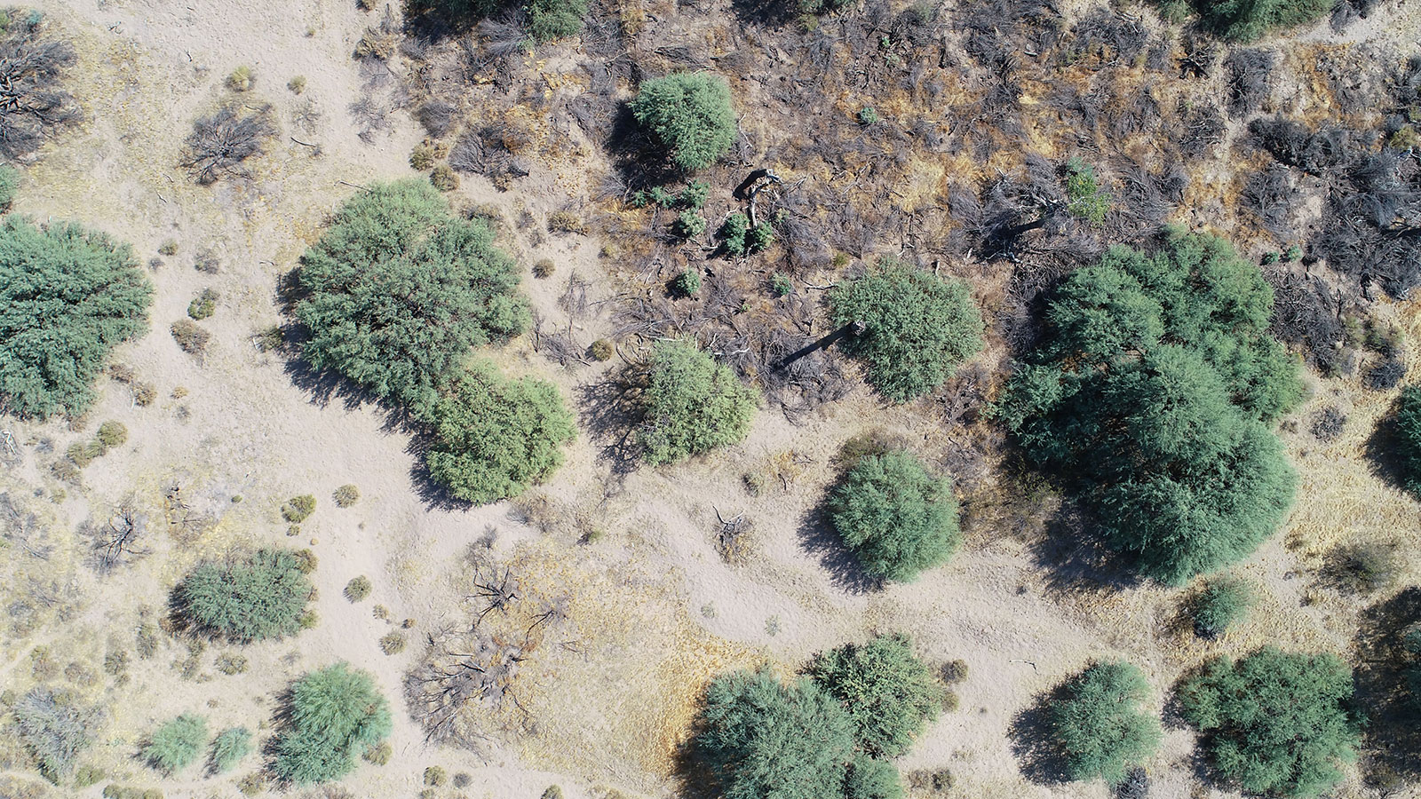
In the fall of 2020, Green Drone AZ set out to collect their biannual drone imagery dataset. After three days of aerial imagery collection, nearly 10,000 photos were gathered.
The students are taught to understand and interpret:
- Orthomosaics
- Digital Surface Models/Digital Elevation Models
- Digital Terrain Models
- Point clouds
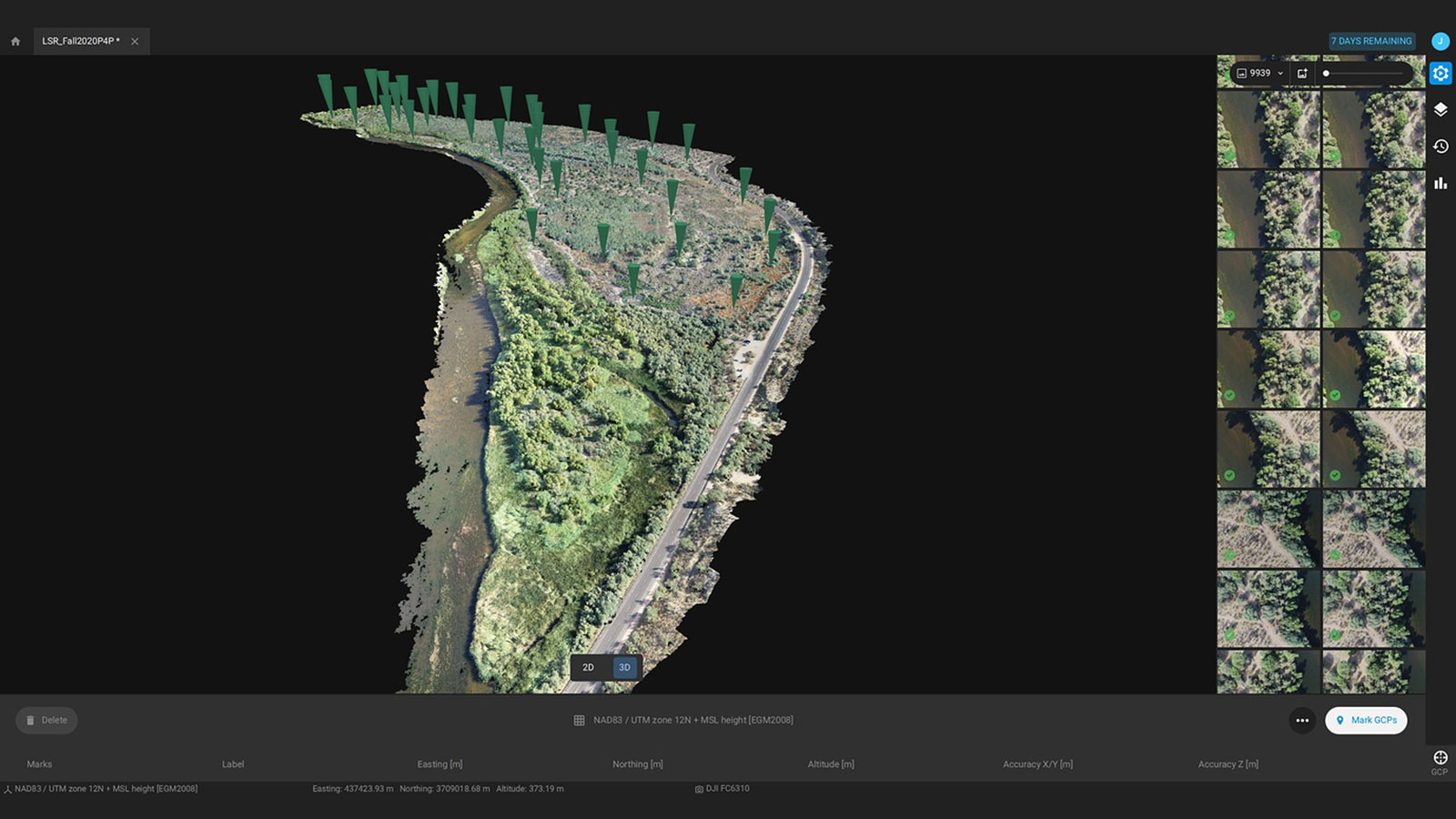
Working with PIX4Dmatic is very beneficial to Green Drone AZ, as the pilots and analysts can interpret drone data effectively while also teaching students about the principles of photogrammetry thanks to the connection between the orginal images and the point cloud reconstruction. Due to PIX4Dmatic’s ability to handle large datasets, the imagery was processed within a day. Green Drone AZ could then start analyzing the project site and immediately develop management plans that are best suited for the current conditions of the impacted ecosystem.

Due to the speed of PIX4Dmatic’s processing, the students could view the orthomosaic soon after data collection. They could then help brainstorm the management plans alongside the trained professionals. The rapidly available datasets also mean that solutions to environmental pressures can be discussed and presented to Green Drone AZ’s partners soon after they are identified. Having this readily available dataset reduces time delays and increases the effectiveness of environmental restoration and management.
“Green Drone AZ is excited to be at the intersection of conservation and technology, while providing future generations with the technical skills required to tackle environmental challenges within their communities, and our world at large.” - Green Drone AZ
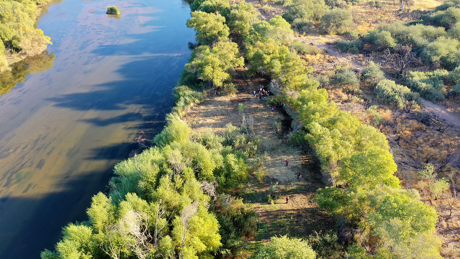
Thanks to this initiative by Green Drone AZ, students from a variety of backgrounds are getting the chance to work with drone and GIS technology as part of the bigger fight against climate change. PIX4Dmatic helped them process a large dataset that made their biannual data collection more efficient, as it did not need to be broken down into smaller, manageable chunks for less powerful software to process. As a result, Green Drone and their partners are moving forward with putting in place strategies to protect and repair the environment along the Lower Salt River in Arizona.


