
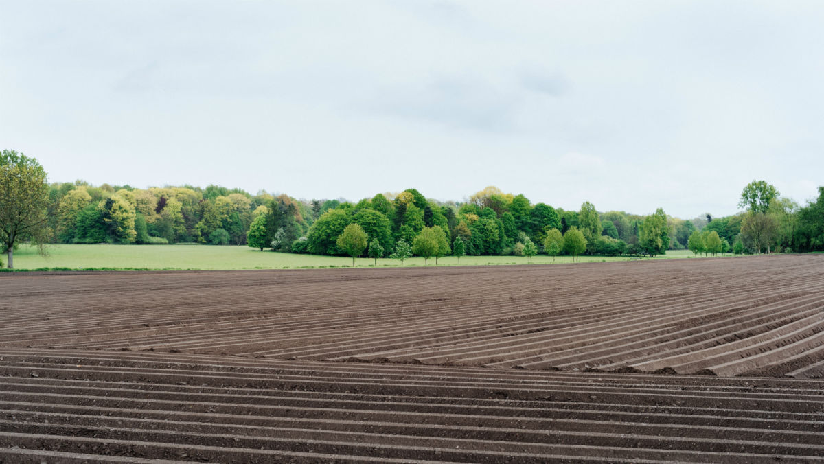
Revolutionizing farming with new agricultural tech
One of the biggest challenges in precision agriculture is the way it is perceived. According to Wikipedia, precision agriculture is somewhere between farm mapping, using satellite images or a farming drone and crop management. As if that’s not enough, precision ag is apparently a key component of the third wave of the modern agricultural revolution. Sounds pretty complex right?
The complexity of it also lies in the eye of the observer. Ask an agronomist, a grower and a farm manager to describe digital agriculture, and you will hear very different definitions plus how they use it - or don’t.
Precision agriculture inspired Pix4D’s drone software for agriculture, Pix4Dfields. We know that every country is different, with specific laws, regulations, and farm sizes, and a different understanding of the value of precision ag.
Introducing the agriculture mapping Roadshow
Before we built Pix4Dfields agricultural drone mapping software, we talked to you. That’s what we aim to do with our Roadshow events.
Roadshows are events on farms which really showcase the value of drone images for farm mapping. From drone flying to data processing in the field, to interpretation and actionable results.
Events like this can make growers aware of the technology and the benefits in terms of improving agricultural productivity, yields and crop efficiency, plant health and stress detection, precise use of irrigation, fertilizers and pesticides that can be shared among the farming world. By demonstrating all of this as a full end-to-end workflow, we hope the value of precision ag becomes more visible.
Digital agriculture in Yuba City
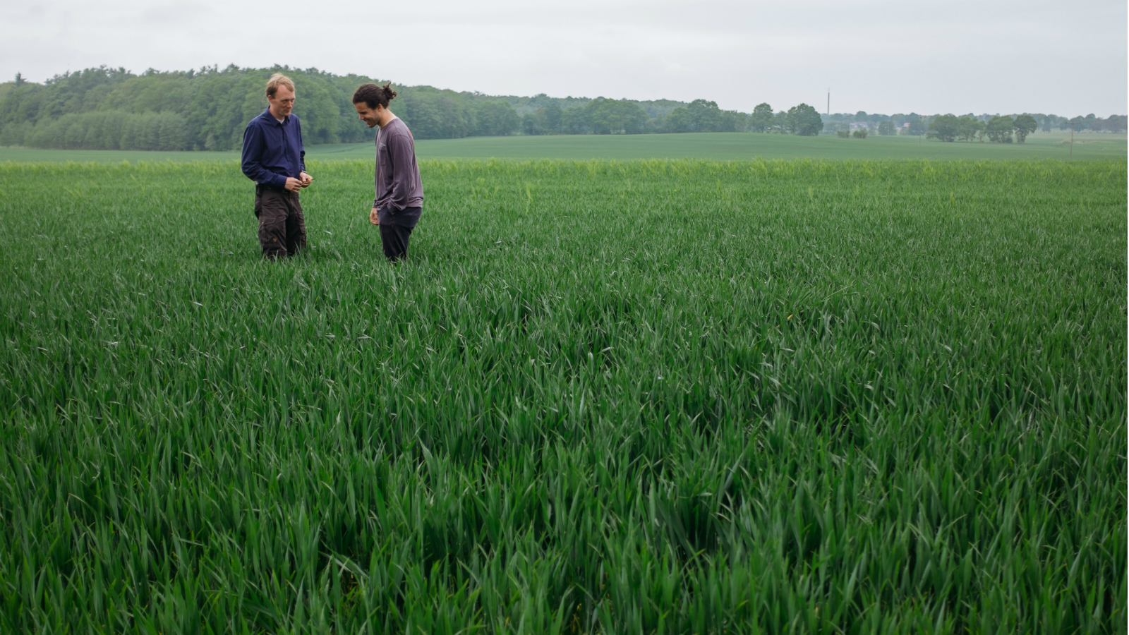
Before the season properly began, we took the opportunity to get together with Pinpoint Aerial Solutions (PAS) at a small gathering of farmers and control advisors in Yuba City, California.
The aim of the event was opening the discussion around precision agriculture and how farming drones and imaging technologies can help farmers make efficient decisions in the field.
After enjoying dinner, drinks and discussion, we asked Nic, PAS’s owner to share some of his thoughts:
On Pix4D’s digital agriculture event
“The event went extremely well. We had about 22 people who attended, which consisted of farmers and pest control advisers. We’ve got a lot of feedback and are excited for the upcoming year. Having Pix4D there really helped validate our claims.”
Drone mapping’s ‘wow moment’
“We had a senior member of the agriculture community among our attendees which is always a great accomplishment in my opinion, to intrigue the old school generation with the new advancements. On top of it it’s awesome to have them among the younger generations as they bring so much knowledge and experience to inspire and guide. But the wow moment was when we asked him if he has been using drones, and he said he has. So we asked in his experience then, how have the new technologies helped him, has he seen the increase in yield or savings?
And without hesitation he said increase in yield. Now that was a great moment, because that’s what this is all about: sharing use cases and experiences of utilizing the new technologies for a better tomorrow and sustainable agriculture.”
Challenges adapting to new technologies in agriculture
“For the growers to accept new technologies we have to show them the value in it. Farmers rarely change processes if there is not data supporting it. We have spent a lot of our time (free flights) showing farmers the benefit of multispectral technology. “
“Pix4Dfields is the best aerial crop analysis software on the market”
“Pix4Dfields is the best aerial crop analysis software on the market. The speed of processing is by far the best feature among many others it comes equipped with. This allows me to get the data to the customer at an extremely fast rate.”
Seeing the farm differently with Pix4Dfields
“I started looking at fields as large data sets rather than just plants. This has allowed me to gain an analytical insight to farming.”
Forecasting the future of farming drones and precision agriculture
“The drone industry has great potential. I think the biggest challenge is showing the true value. We have to remember that a lot of farmers don’t understand this technology and how to deploy it. I believe in the upcoming years this technology will become more mainstream in certain areas. I think it’s extremely important to get this technology into the hands of service providers. They will familiarize the growers with the new technology.“
| Pix4D would like to thank Nicholaus Helwig and Jake Holmes from PAS for welcoming us into their community, and being leaders on the forefront of drones in Agriculture. |


