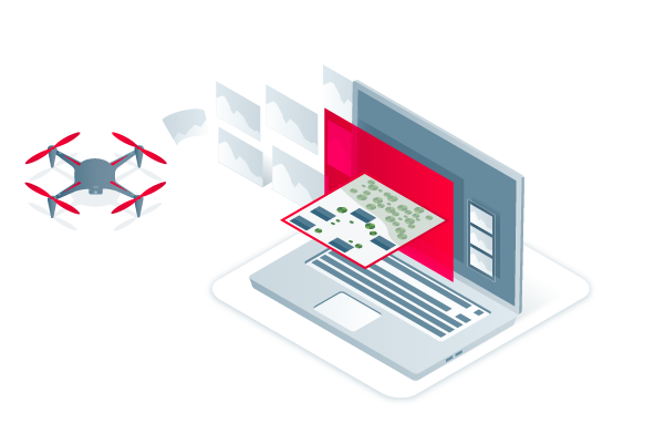
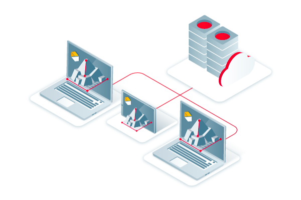
Capture
Fly your drone to capture the images you need. Plan an optimized and automated flight with an app like PIX4Dcapture for Parrot and DJI drones.

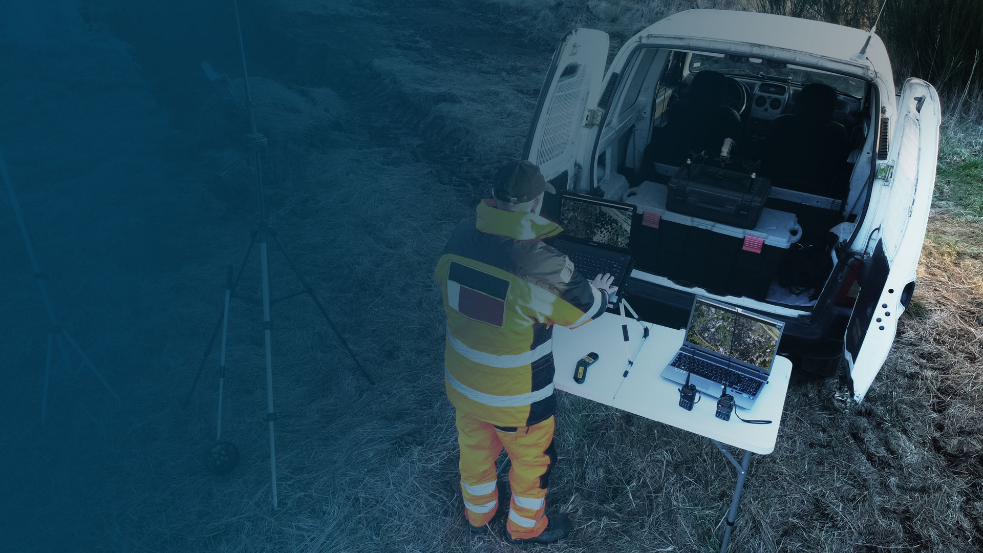


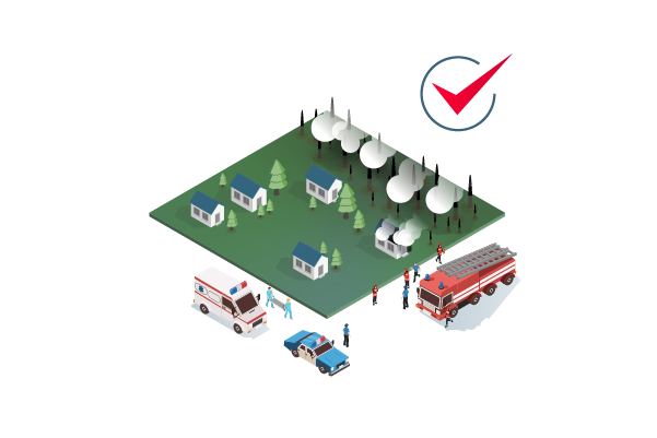


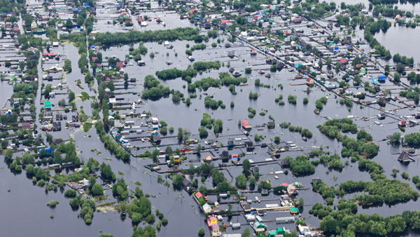
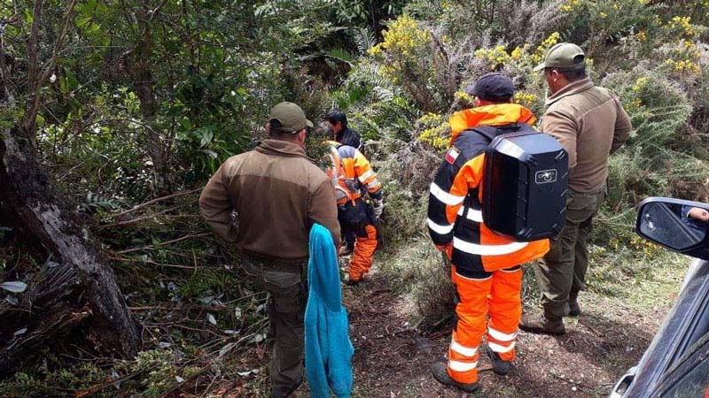
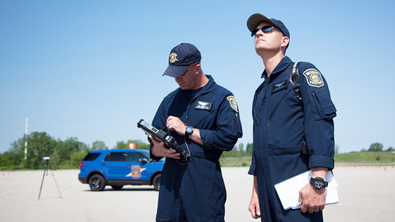
Drones are rapidly becoming a standard tool for public safety teams. This eBook shares workflows and examples for public safety and drones.
Download now


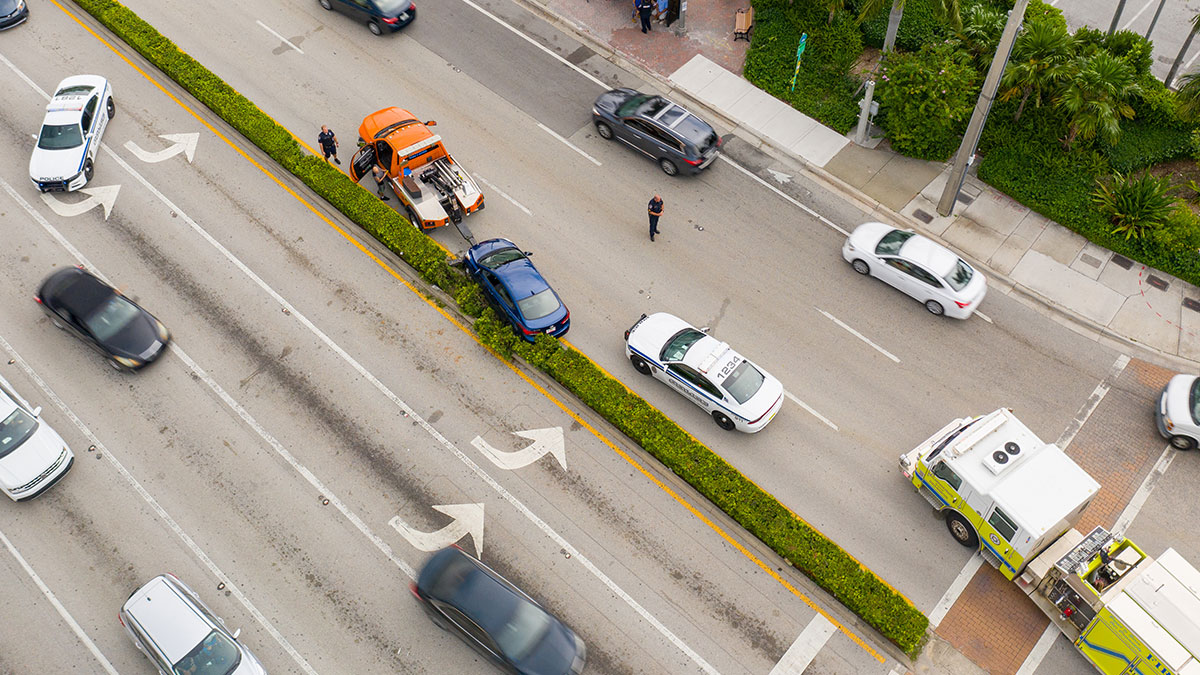
Aerial Metrics discuss how drones and aerial mapping are used for crash reconstruction and investigation, and the most significant benefits of this technology.
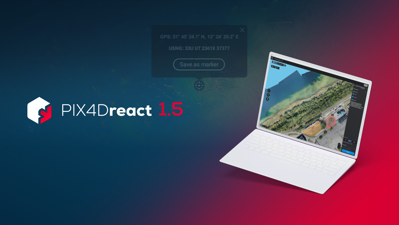
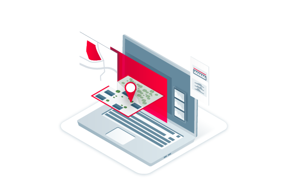
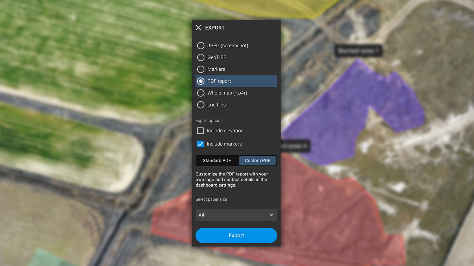
PIX4Dreact 1.5 brings you high-resolution snapshots, uploading markers to PIX4Dcloud, location display improvements, and more.
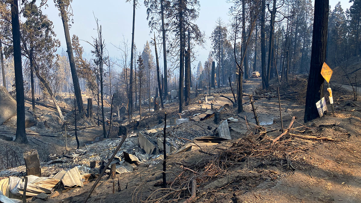
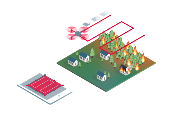
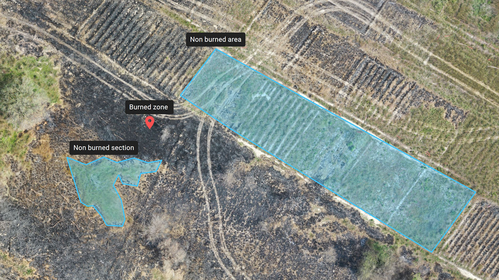
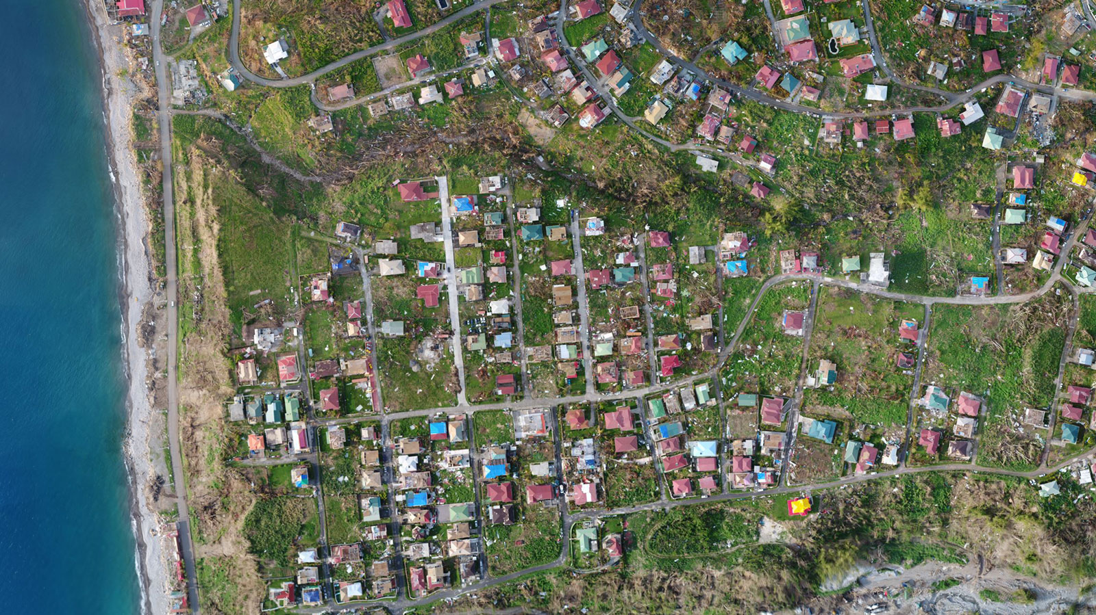
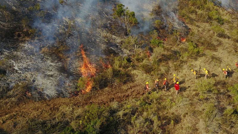
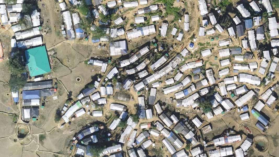
Recovery after a wildfire can be daunting. Learn how drones and PIX4Dreact help emergency responders save time and better prepare for future fires.