What comes next: mapping after the Californian wildfires
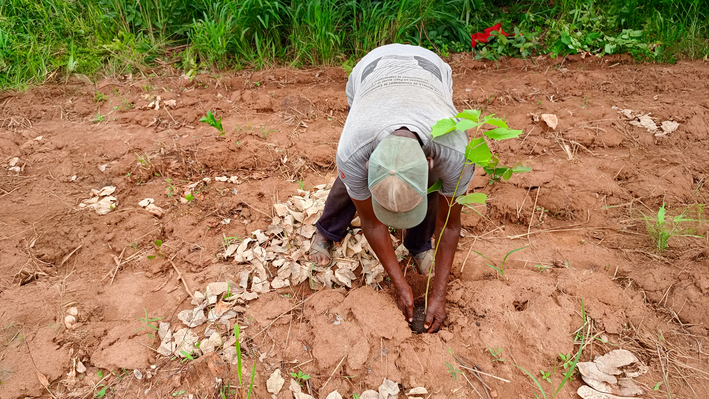
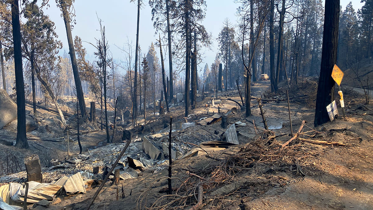
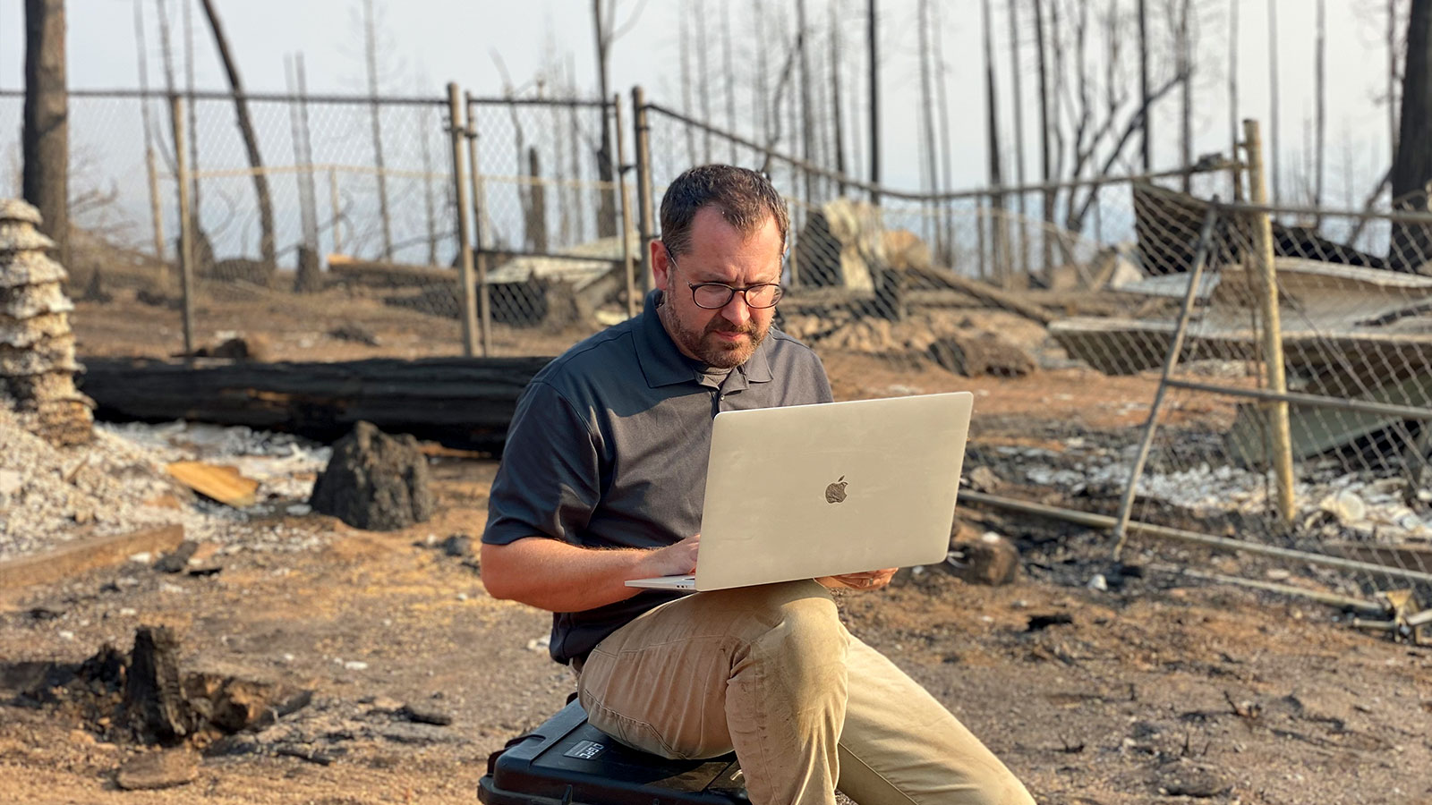
The California wildfires of 2020 have left extreme devastation across the state. Although wildfires are often a part of natural cycles that can encourage regrowth in the environment, the scale of wildfires across the globe over the past few years has been exacerbated by the climate emergency. When a wildfire devours an area where people live, a community will return to the space to try and rebuild. It is a difficult and dangerous process, where buildings may have been left damaged or unstable by the force of the fire. Returning people safely to their homes requires up-to-date information and precautions to be followed beforehand. Following up after a fire is an important part of public safety work, as we saw when PIX4Dreact was used for wildfire recovery in Australia last year. Greg Crutsinger, a veteran of wildfire management and recovery, told Pix4D about his work with GeoAcuity in the California wildfires this year.
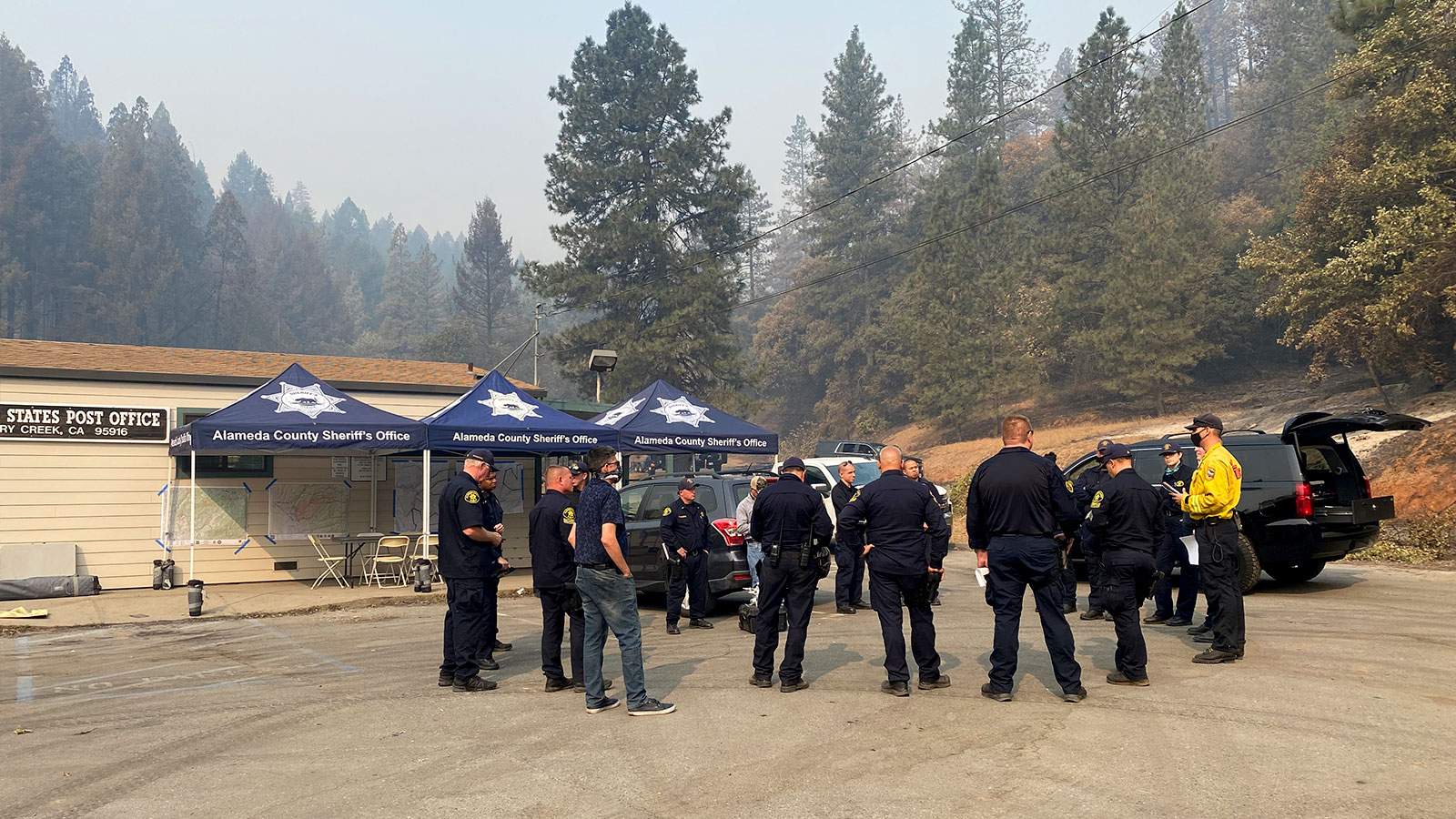
GeoAcuity provides spatial insight, analytics and mapping solutions in the USA. Their work includes helping environmental, municipal and federal government bodies in a variety of fields. Depending on their assignment they can either complete surveying projects on their own or help coordinate a group of people. They were called out to Boulder Creek by the local Sheriff to help with damage assessment before people moved back into the area. Crutsinger and his team coordinated members of the Alameda County Sheriff’s Department who led an interagency task force of drone teams. Flying a variety of drones, the team used patrol maps as a bounce point or base to plan their movements.
Project Details
| Location | Boulder Creek, California, USA |
| Company | GeoAcuity |
| Area mapped | 6,000 acres (24 km2) |
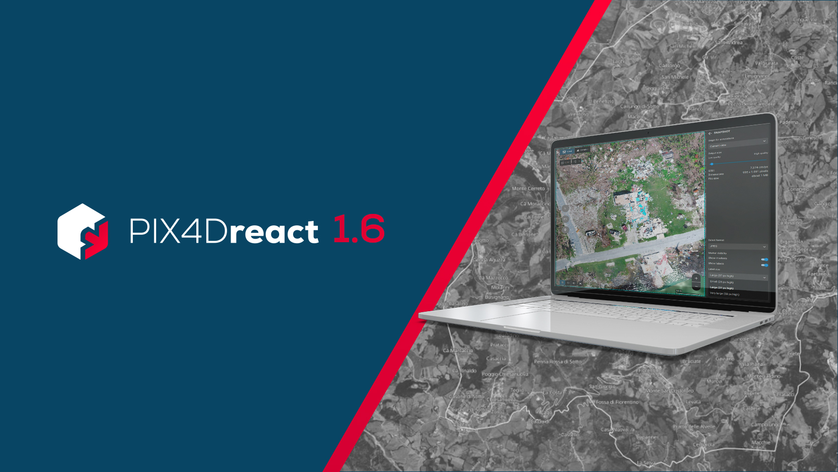
| Software | PIX4Dreact |
| Hardware | Phantom 4 Pro, Mavic 2, Mavic Enterprise, Wingtra One |
| Total number of images | 10,000 + |
| GSD | 2 - 4 cm |
| Total project time | 48 hour turnaround |
| Outputs | Before/after map and interactive map available to public |
Overcoming obstacles in mapping wildfire damage
Mapping 6,000 acres (24 square kilometers) is a big project. Crutsinger was supporting law enforcement drone teams in data processing and to provide expertise in mapping. Teams were deployed to different zones with the drone and planned missions. The Sheriff's department organized flying permissions and having enough drone pilots available to work together.
“Damage assessment looks different every time. After 6 separate wildfire incidents, no fire has been the same and we have to adapt to each one.”
Dr Greg Crutsinger, GeoAcuity
The terrain in this mission was very hilly with tall trees, including Californian Redwoods which are the tallest in the world, as well as urban structures. Real-time situational awareness was important for making decisions and establishing methods. This is where the fast-processing aspect of PIX4Dreact was most helpful. Crutsinger could load basic maps stitched together to his phone and assign them to different teams, sending teams out to collect data for the next map. Once images were collected it could be processed in PIX4Dreact. The efficiency of this public safety response technique was very successful, as it provided quality control and documentation to keep the local authorities informed of exactly what had been achieved and what still needed to be surveyed. This way, teams could instantly be reassigned once they had completed an area because of the rapid processing and stitching in PIX4Dreact. The low cost and ease of use were combined with ultra rapid imagery processing.
“When you’re in the field with no bandwidth, PIX4Dreact does the job. We aren’t looking for survey-grade data but an immediate understanding of what is happening on the ground, and how well we are collecting our imagery.”
The processing only took 10 to 15 minutes. The team could export a GeoTIFF to overlay the maps so that they could see what progress had been made and save time. This time-saving element was a priority for Crutsinger and GeoAcuity, as they wanted to ensure no one’s time was wasted to provide the information for the recovery effort quickly. This meant a total turnaround time of 24 to 48 hours. Meeting this challenge meant Crutsinger was coordinating imagery for 12 and 15 teams at a time as they were flying drones to collect data as fast as possible.
How photogrammetry aides recovery after the fire
Using photogrammetry software for these missions saves authorities and residents time whilst also gathering more data. In the past, local teams would have to manually tag damaged homes, with little or no further information available for the community. Now, high-resolution drone imagery collected by these public safety teams can complement ground-based information. Layers of data can be added as it is collected, making the process fast and up-to-date. This includes elements like property boundaries and annotations about what has been damaged. When compared with previous maps or records, these new maps provide a visual before/after of the entire event.

In this case, the final result was shared with the community after the mapping was complete. PIX4Dreact created a bridge between the pilots and the data team to efficiently plan, track and submit the final results to the agencies involved. The community could see what the fire had damaged and its path clearly, which meant they understood where the most rebuilding would be required. GeoAcuity's outputs were also featured in a Washington Post article brilliantly explaining the escalation of wildfires in Califronia.
These maps are also helpful for learning about the path of the fire, and how authorities can slow or prevent similar events in the future. Where fires may not be easily stopped, helping slow or understand wildfires in California is crucial as it can save lives and infrastructure. Crutsinger and his team managed to deal with assessing the aftermath of this fire and provide the data in a quick turnaround of 48 hours. The data and information they gathered will be relied upon over the coming months and years as California adjusts to more extreme wildfire seasons.
The maps created by GeoAcuity are available online for the public.