Measure from images and get survey-grade maps
Applications
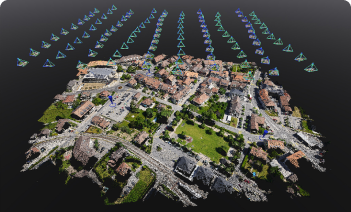
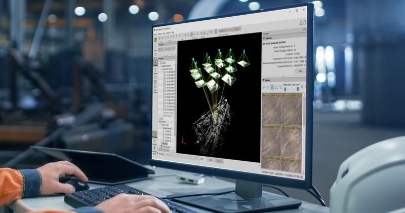
Large scale projects and accuracy
PIX4Dmatic processes thousands of images while maintaining survey-grade accuracy, halving the processing time without the challenge of splitting and merging datasets


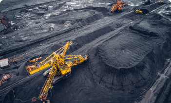
Mining applications
3D mapping & analytics can improve supply chain efficiency, reduce operational risks, and improve asset life cycle management in the industry.


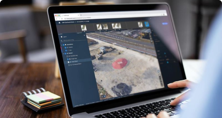
Project management & communication
Enhance collaboration between colleagues and clients with online sharing links. Speed up your job securely and easily using our secure cloud solution


Map, model and measure in 3D
Explore example data sets
Use cases about photogrammetry and drone mapping
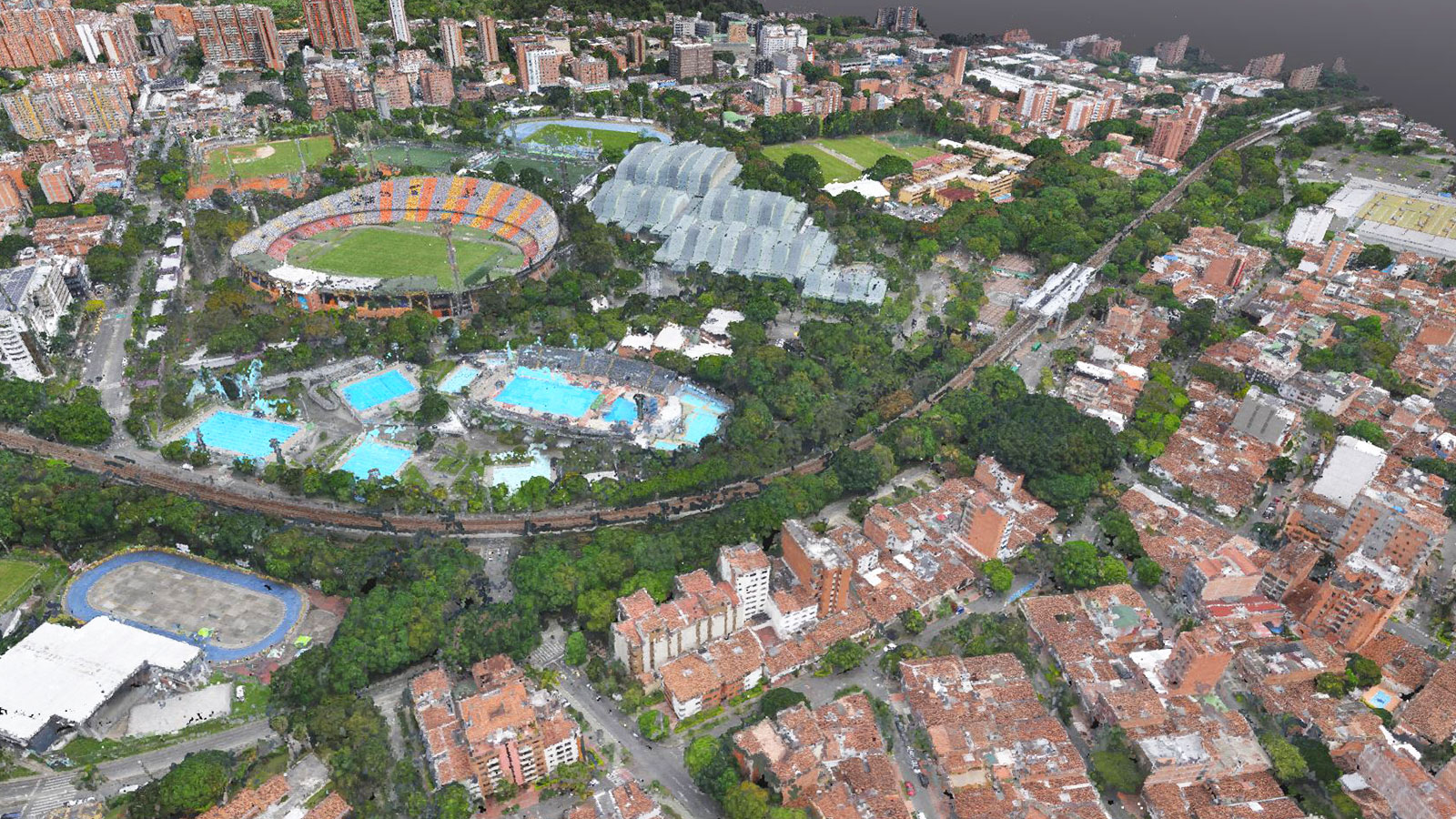
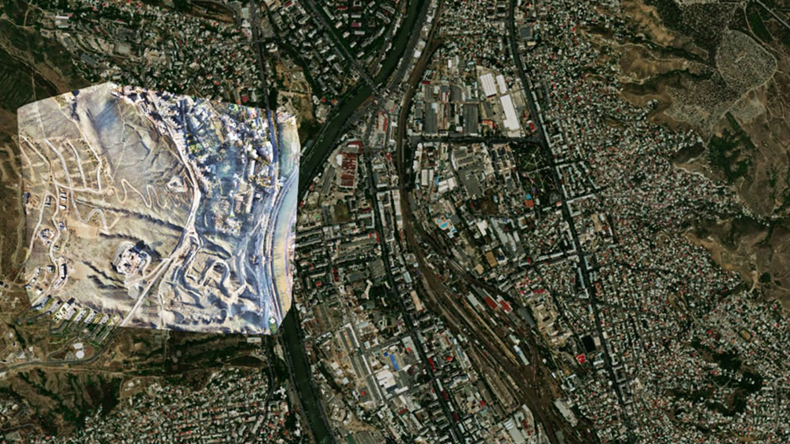
Digitizing a city: meet Medellín in 3D
The project to digitize Medellín covered 17,500 hectares. Here’s how it was possible with drone mapping and PIX4Dmatic.
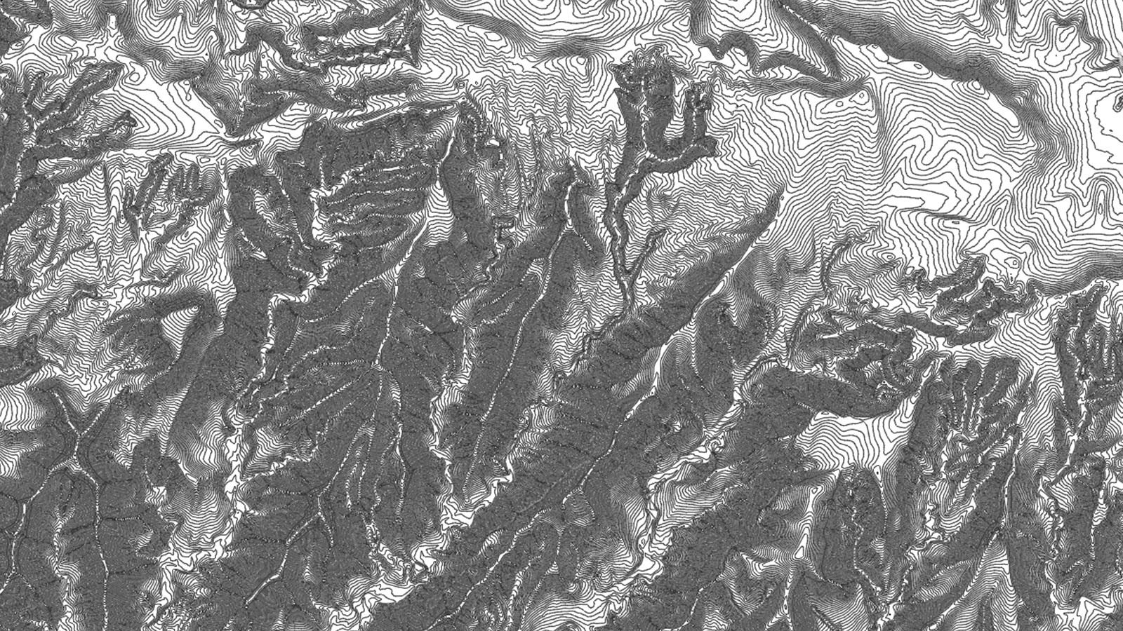
Surveying 10,500 hectares with a drone and PIX4Dmatic
A massive drone mapping project needed an orthomosaic and digital terrain model. For work on this scale, PIX4Dmatic was the only option.
How aerial photogrammetry is helping conservation projects
Discover how drones and photogrammetry are helping conservation projects worldwide - including finding termites, plants, and snails!
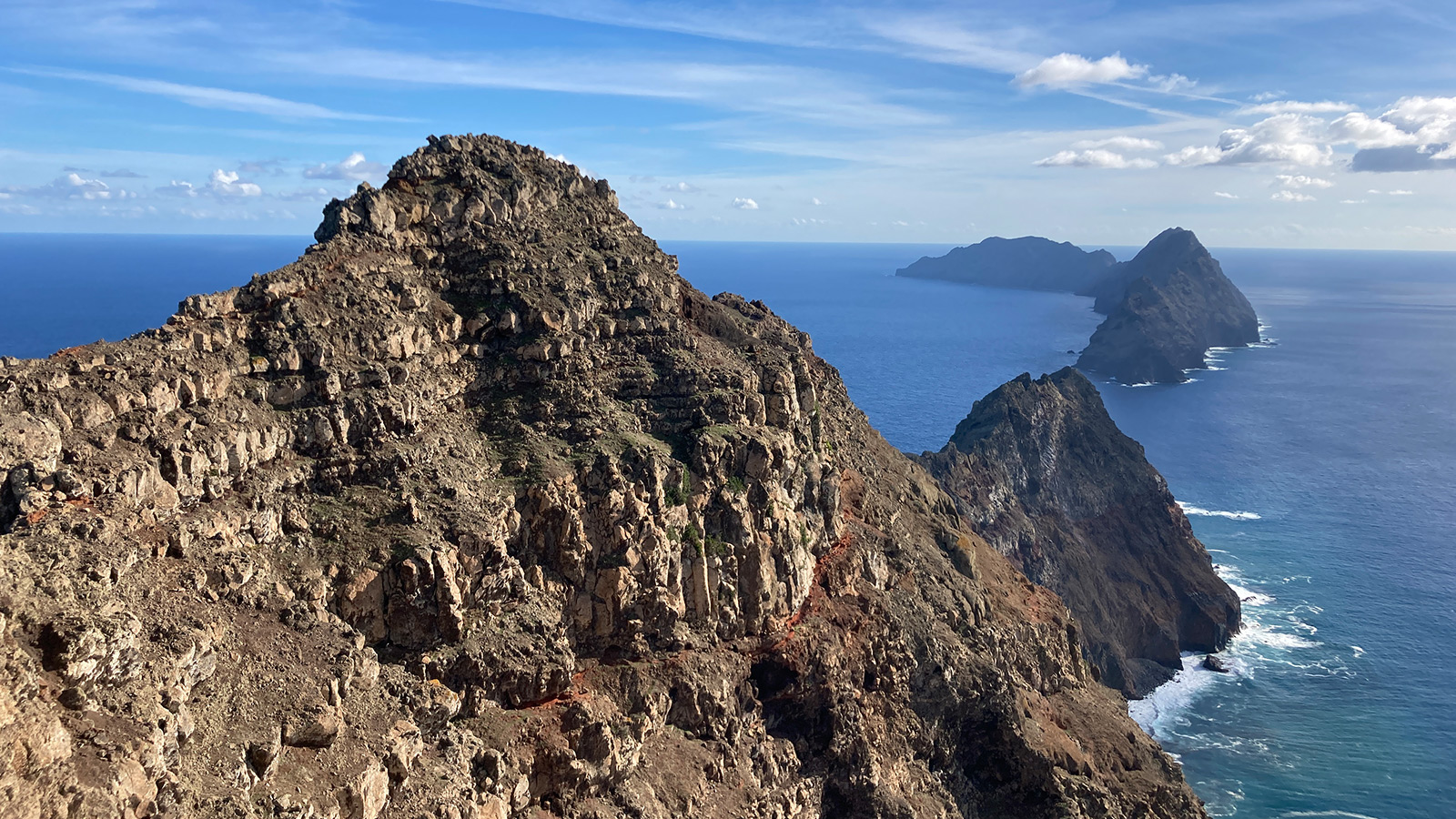
Accurately mapping a landslide to make the right decisions
How can aerial mapping with drones help analyze a landslide to prevent it from slipping further? Is it a reliable source?
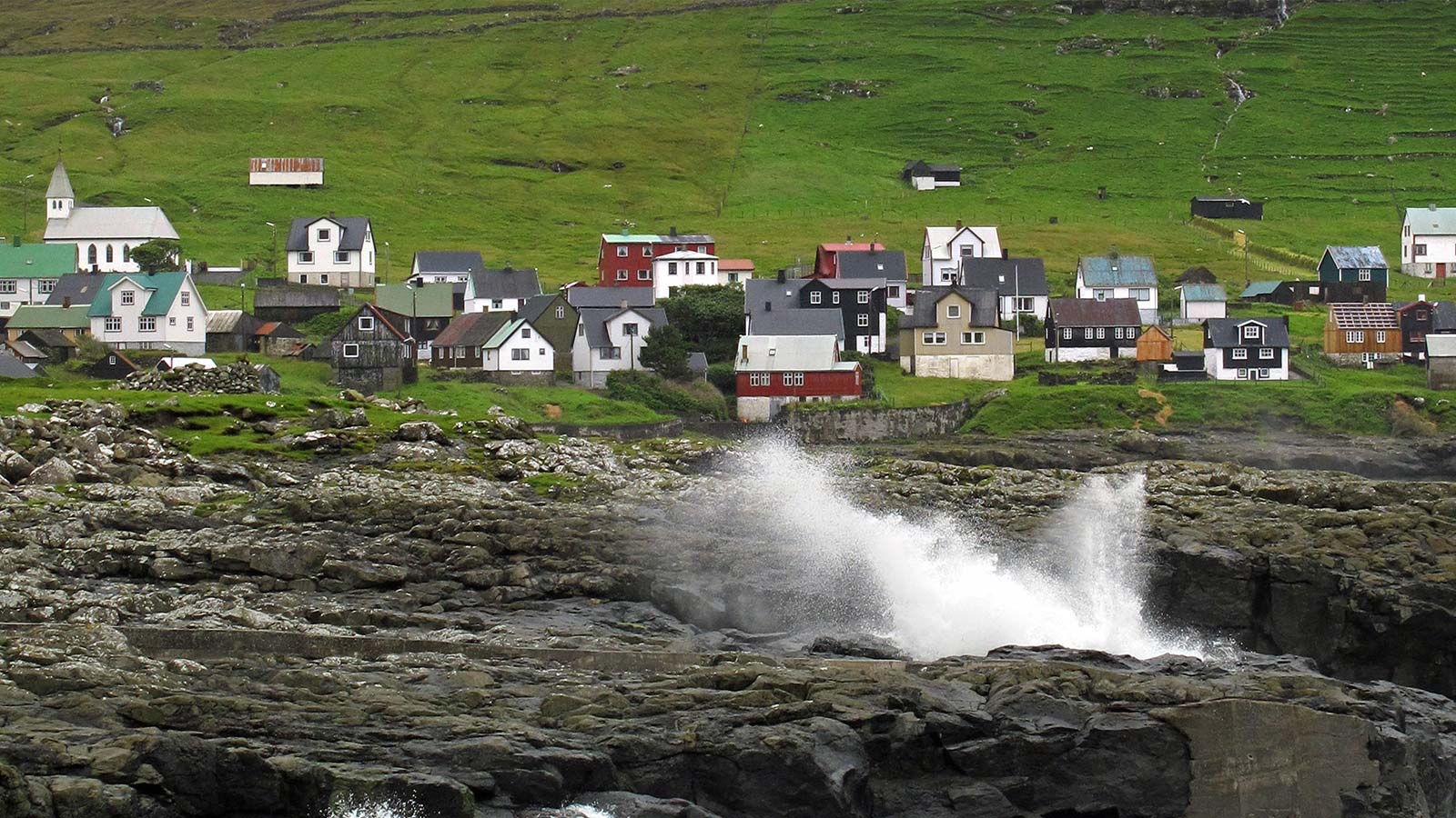
A big map for a small island: surveying the Faroe Islands
Local authorities use drones to overcome challenging, changeable weather for surveying land use and mapping coasts in the Faroe Islands.
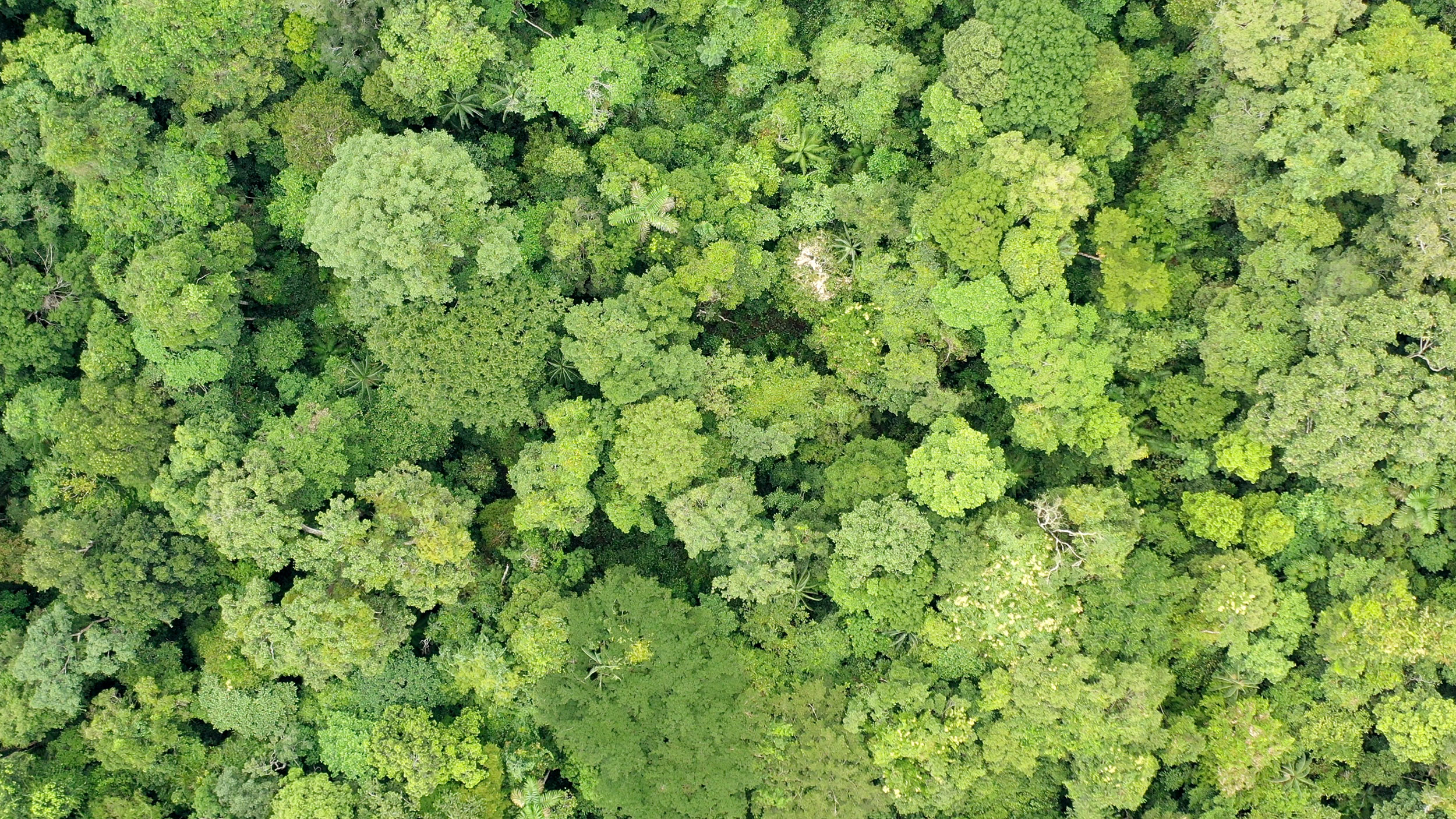
Helping to protect the rainforest in Peru with drone mapping
The Amazon tropical rainforest in Peru is at risk of serious deforestation. Wilderness International is using PIX4Dmatic to help save it.