How drones are used in conservation and natural resource management
Going beyond limits

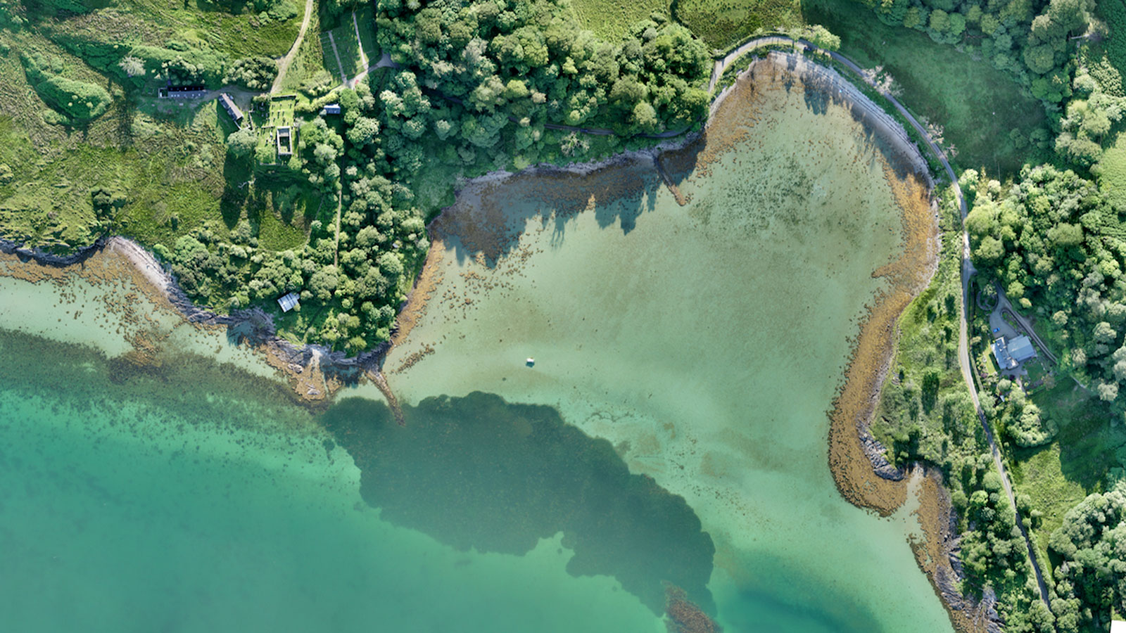
Aerial mapping of coastal ecosystems for restoration
Learn how drone mapping a fragile coastal ecosystem is contributing to achieving the UN’s Sustainable Development Goals to fight climate change.
Read more >
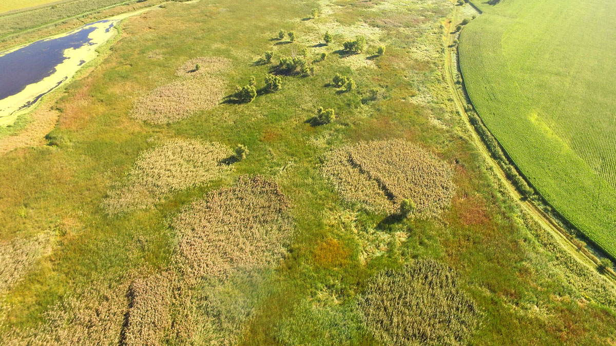
Mapping and spot spraying invasive weeds with drones
Learn how Pix4Dfields helped Wisconsin-based companies save time and money using drones to map and spot spray invasive weeds.
Read more >
PIX4Dfields 1.12:
Pan sharpening and more!
PIX4Dfields 1.12 introduces Pan sharpening for higher resolution images, annotation upload for share to PIX4Dcloud, and more.
Read more >