
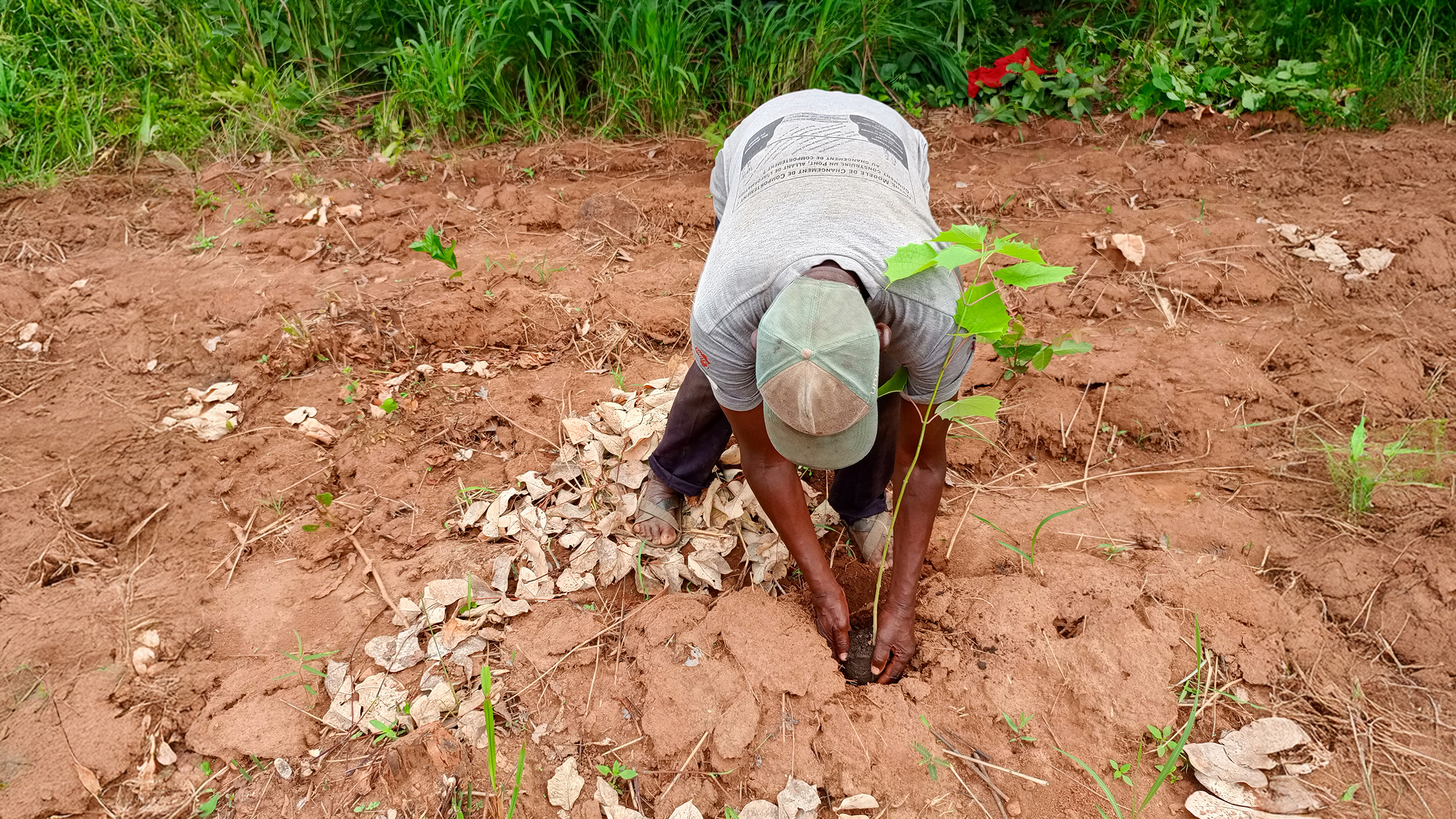
3D mapping and drones target deforestation with PIX4Dmatic
High-resolution aerial maps help target at-risk areas in 44 hectares of degraded forest in Togo, supporting local communities.
Read more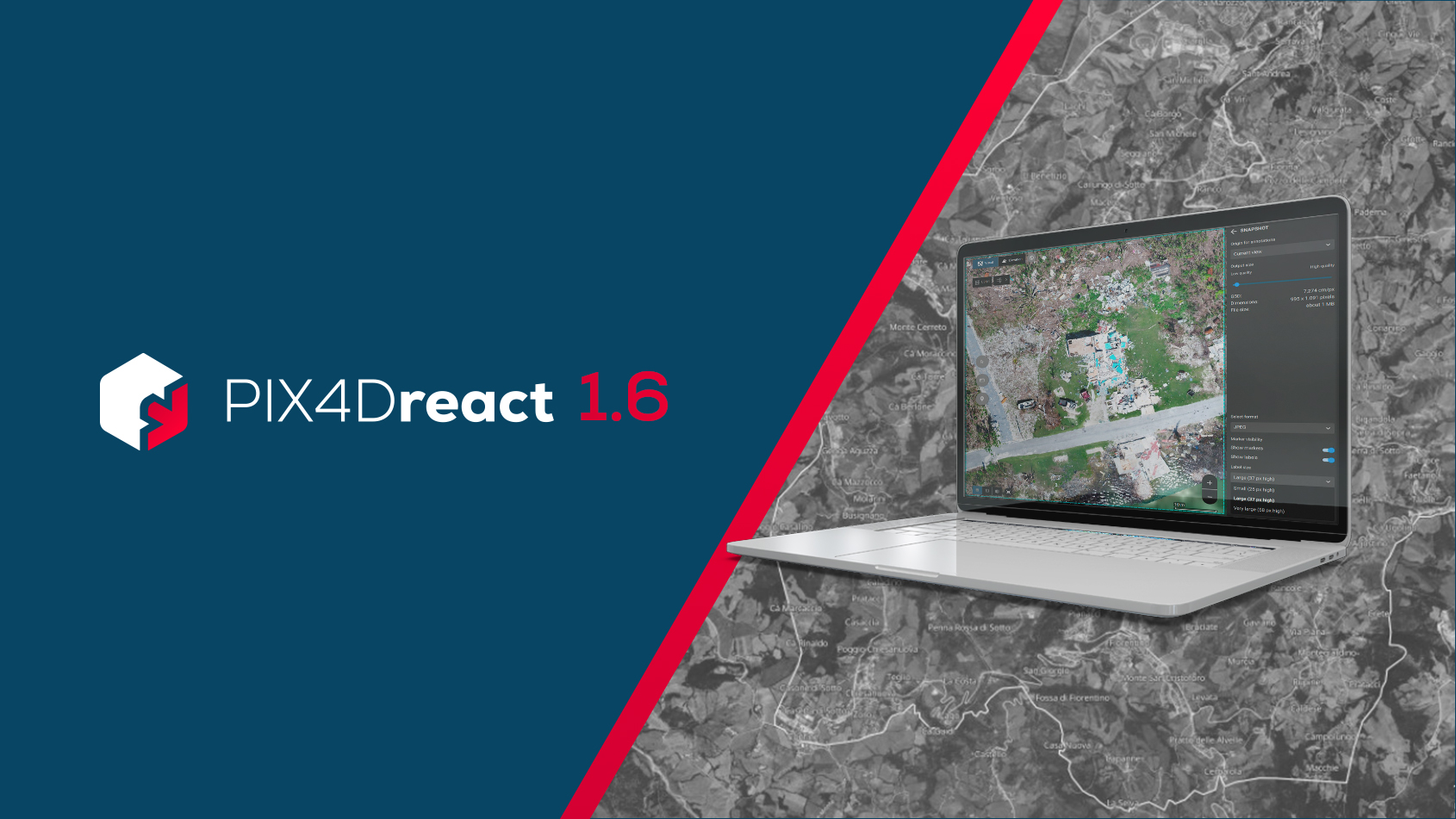
PIX4Dreact 1.6: location search, faster processing, & more!
PIX4Dreact 1.6 brings you location search, batch project export & import, faster processing, and more!
Read more
Lights, Camera, Photogrammetry!
New to photogrammetry in film? This intro covers the basics — from workflows to tools — with insights from an industry expert.
Read more3D mapping and drones target deforestation with PIX4Dmatic
High-resolution aerial maps help target at-risk areas in 44 hectares of degraded forest in Togo, supporting local communities.
PIX4Dreact 1.6: location search, faster processing, & more!
PIX4Dreact 1.6 brings you location search, batch project export & import, faster processing, and more!
Lights, Camera, Photogrammetry!
New to photogrammetry in film? This intro covers the basics — from workflows to tools — with insights from an industry expert.

Secure mapping starts with secure software
Does regulatory compliance in mapping software matter? Understand the risks and why they’re worth considering.
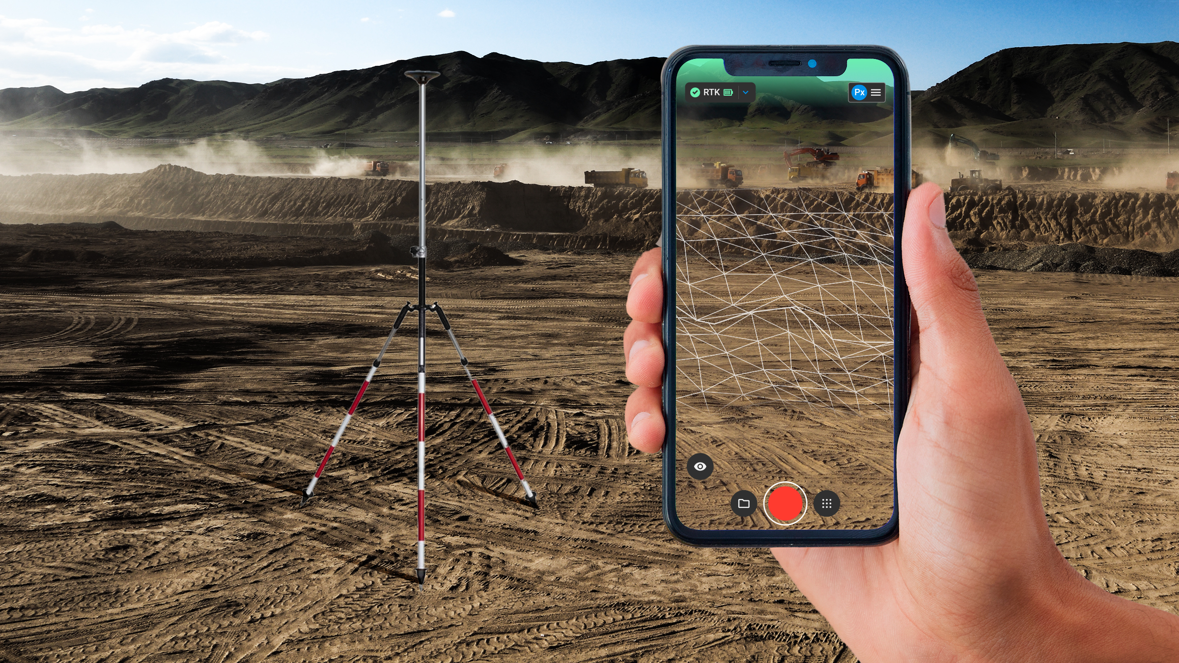
Are smartphones a viable alternative to the surveying pole?
Can we achieve high accuracy without the traditional surveying pole? We tested PIX4Dcatch against a leveled GNSS antenna on a pole.
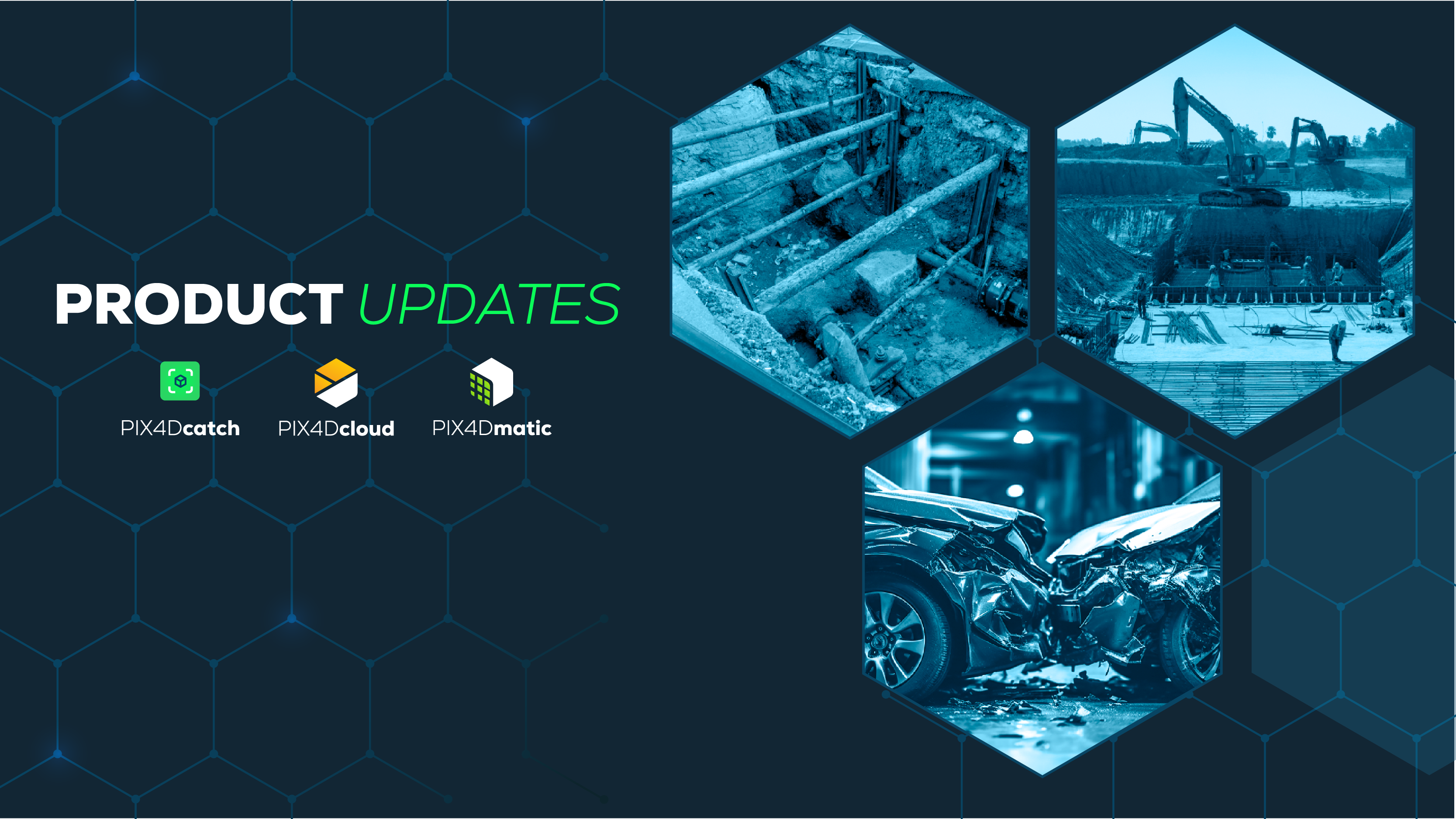
Explore what's new in the Pix4D ecosystem
Learn how our latest updates bring powerful new capabilities to PIX4Dcatch, PIX4Dmatic, and PIX4Dcloud.
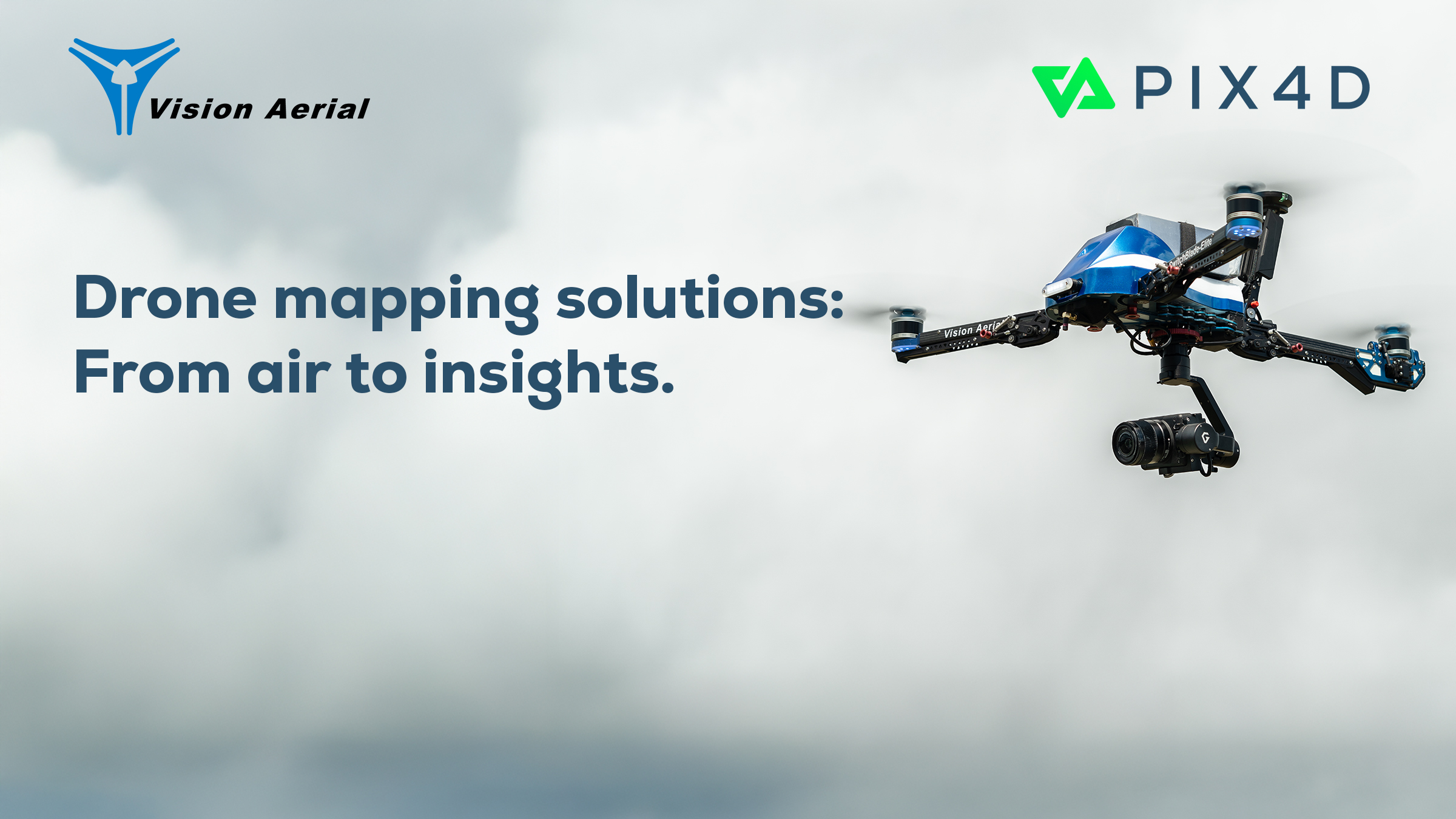
Drone mapping solutions from Pix4D and Vision Aerial
Pix4D and Vision Aerial partner to deliver bundled drone and photogrammetry solutions for surveying, agriculture, and public safety.

Mapping megaliths in 3D: digital tools for archeology
Archeologists use smartphone-based photogrammetry to document ancient megaliths in Jordan and Northern Lebanon.
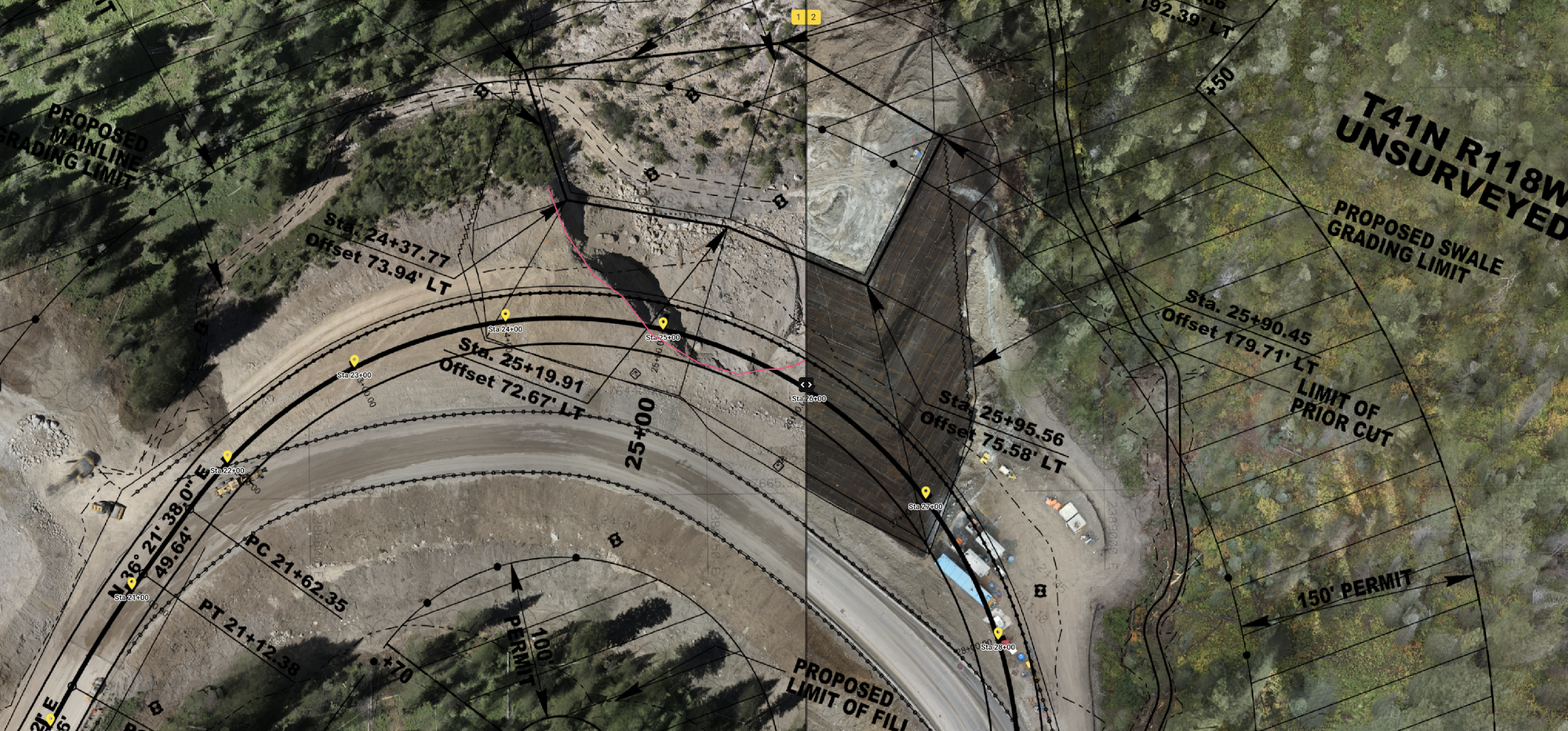
Mapping geohazards with drones and Pix4D
Drone mapping provides data for geotechnical investigation of a major landslide—PIX4Dcloud enables team collaboration & data sharing.
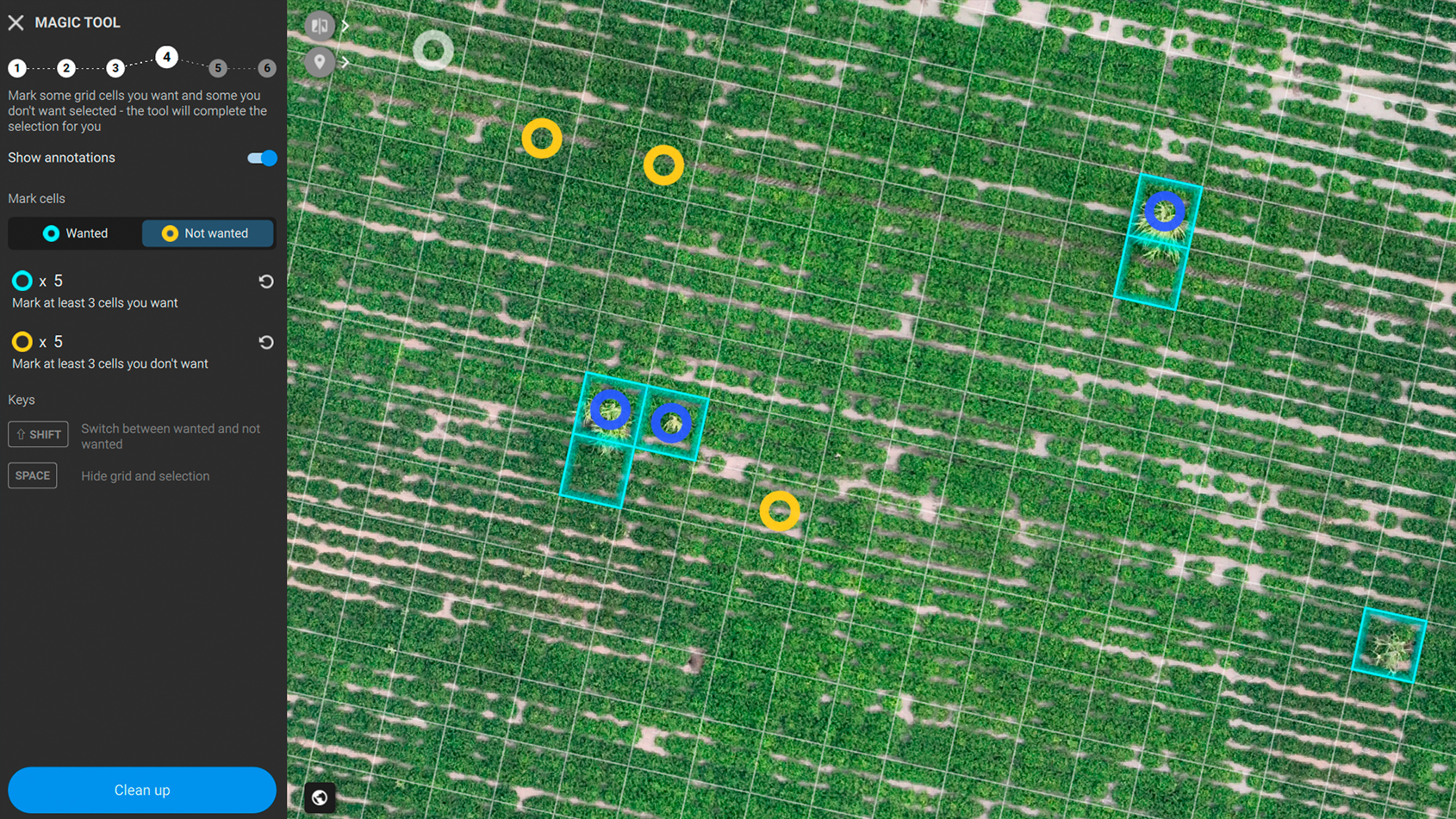
Green-on-green spot spraying in peanut crop
How PIX4Dfields is used in Argentina to detect weeds in peanut crops and save $2,000 in a single spot spraying application.
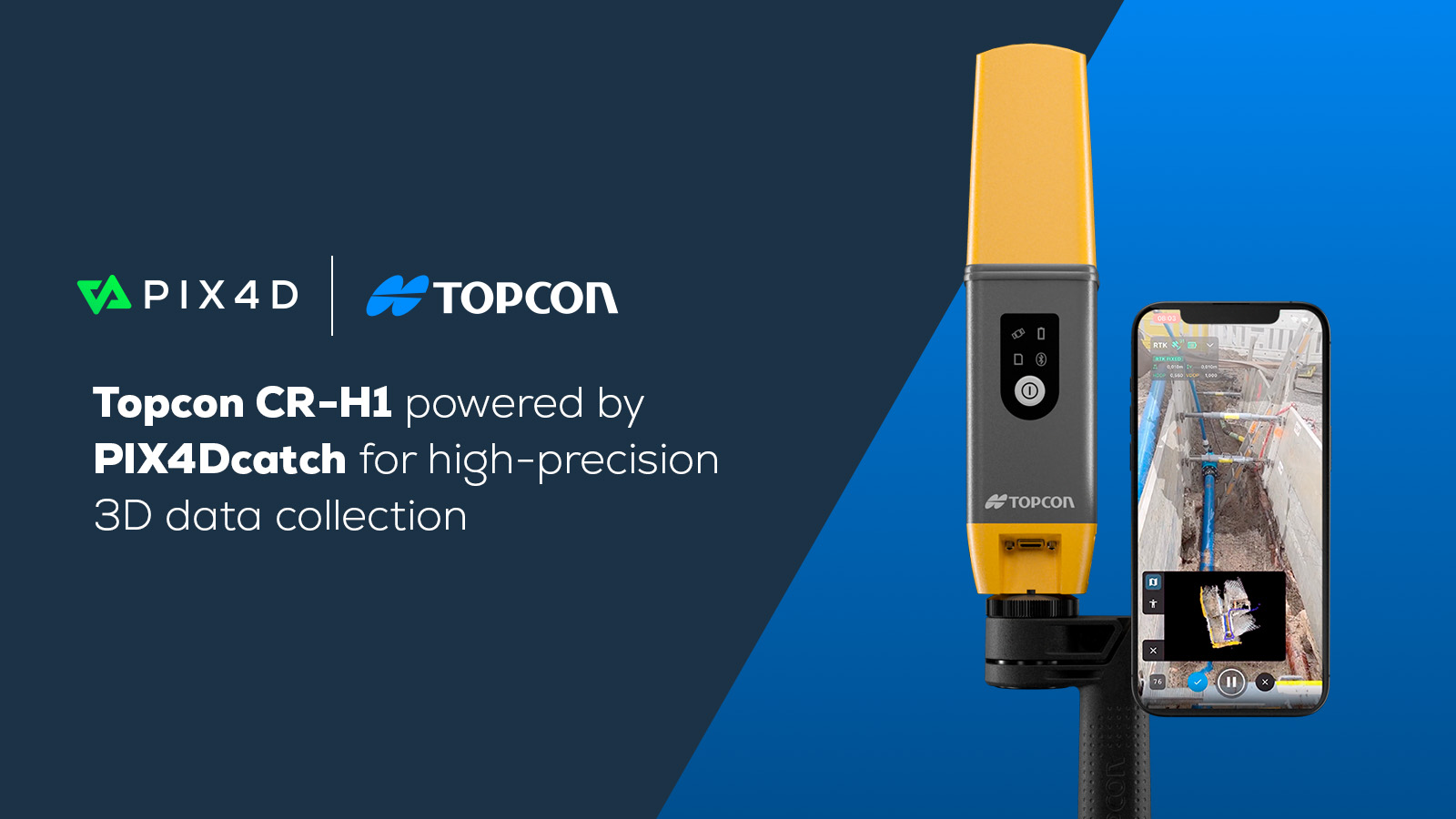
Accurate reality capture: PIX4Dcatch & Topcon's CR-H1
PIX4Dcatch powers Topcon's new CR-H1, for handheld accurate 3D scanning
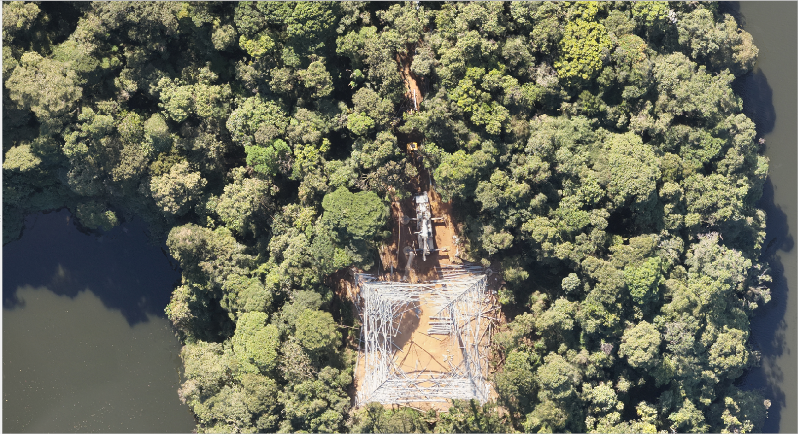
Drone mapping with PIX4Dmatic for a sustainable future
Drones for good and 3D mapping with PIX4Dmatic drive conservation efforts in Brazil to protect biodiversity and ensure a sustainable future.