How to slow the spread of wildfires
The effect of wildfires is both immediate, and long-lasting. “Every wildfire season, thousands of people are forced to evacuate to escape the path of an on-going forest fire,” says Wildfire Aversion by Forecast and Early Response System (WAFERS) team lead, Abdulmohsen Aleissa from his home in California.
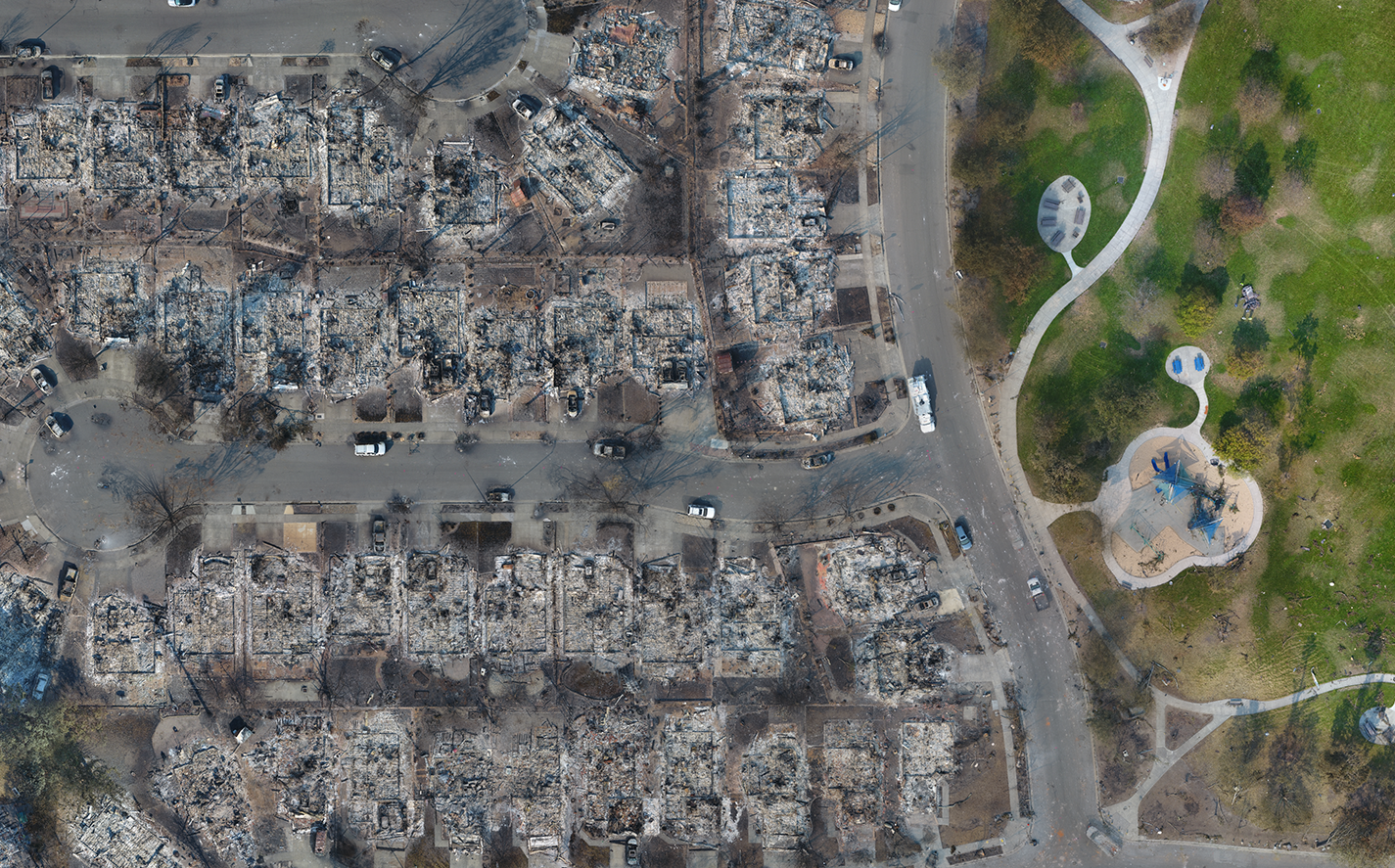
The immediate effect is displaced families, a scarred landscape, and a bill which often runs into billions of dollars. But as Aleissa explains, the effects keep on coming. “In the long run, these wildfires play a major role in contributing to global climate change, which, in turn, amplifies the scale and frequency of future wildfires. This calls for immediate action to interfere with this vicious cycle of exponentially intensifying yearly wildfires.”Most wildfire responses are reactive, with the focus on putting fires out. The Wildfire Aversion by Forecast and Early Response System aspires to be something different. WAFERS hopes to not only halt the spread of on-going fires, but also provide a pro-active assessment of potential imminent fires.
The current way to predict wildfires - and why it’s not good enough
“Wildfires are a research-rich topic,” explains Aleissa, “But the current wildfire spread models have limitations. This includes the need for supercomputers, live satellite imagery, and labor-intensive workflows.”The current wildfire prediction model has a number of time-consuming steps.
- Liaise with on-site firefighters about conditions, including vegetation and the team fighting the fire
- Fetch satellite imagery and retrieve weather forecasts
- Simulate a computer model with accurate physical qualities of the area’s vegetation, topography, and weather conditions
“Sources indicate that the process through which wildfire spread is simulated could take upwards of two to three days,” says Aleissa. On the other hand, project WAFERS could generate an estimate of the fire spread within a matter of minutes.
Project details: A new WAFERS to prevent forest fires
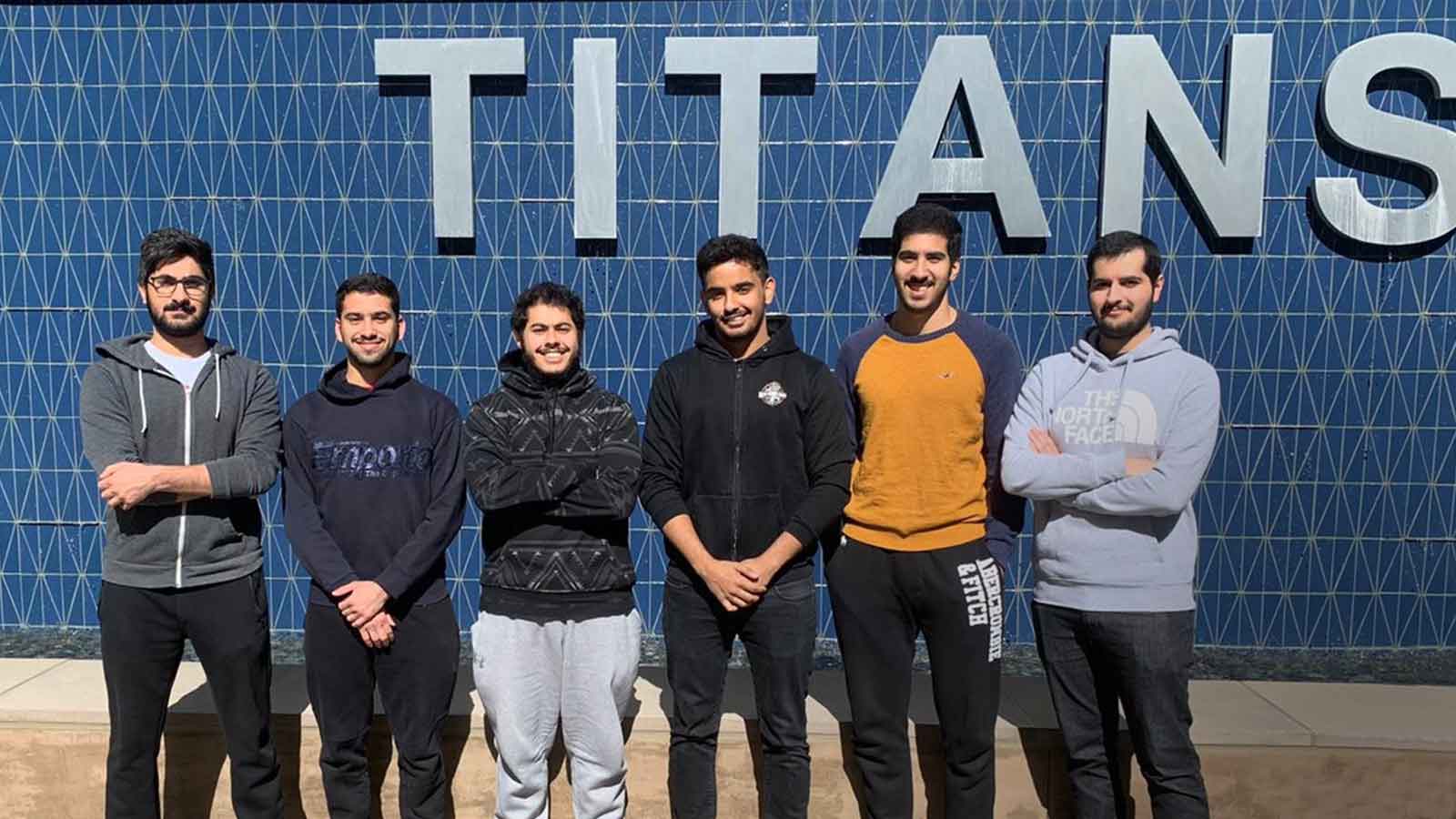
| Team members |
|
| Institute | College of Engineering and Computer Science (ECS) at the California State University Fullerton (CSUF) - Mechanical Engineering Department |
| Hardware |
|
| Software |
|
| Output | Orthomosaic |
| Processing time | From 1-2 minutes for smaller fires (less than 10 acres) to 4-5 minutes for larger fires (around 40 acres) |
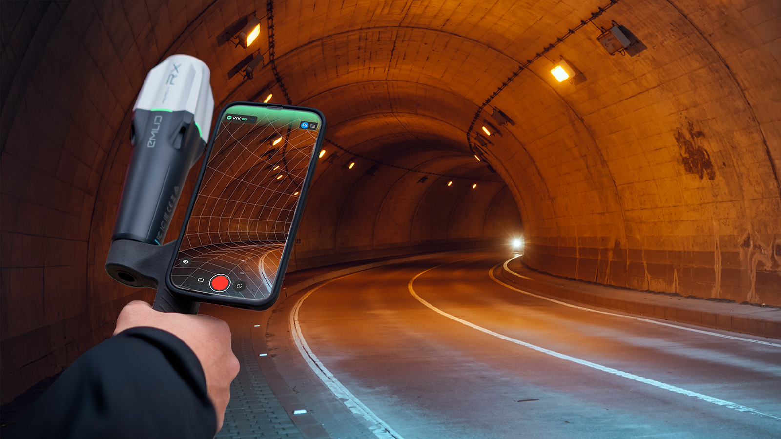
The WAFERS system consists of two parts: a custom-made smart-drone, equipped with both RGB and thermal cameras, and a computer algorithm.
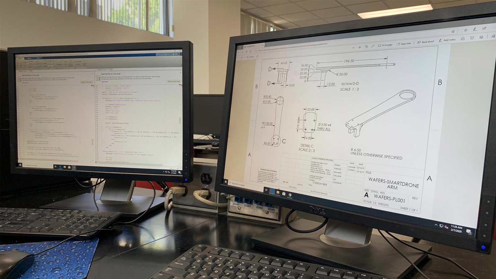
The team chose to make their own drone both to control the inputs - and because as Mechanical Engineering undergraduates, they enjoyed the challenge. As well as collecting both RGB and thermal images, the drone records other data, such as longitude and latitude, and slope topography.
The WAFERS rotary drone is well-suited for shorter flights over rugged terrain, and while rotary drones have a shorter flight-time than a fixed-wing drone, they can take off from anywhere making them the better choice for a project such as WAFERS.
Once back on the ground, the images are uploaded into Pix4Dmapper photogrammetry software where a thermal map is generated to check for hotspots. This map is then fed to the WAFERS computer algorithm for evaluation.
When a fire is detected, the algorithm automatically runs the simulation to model the fire’s spread pattern over time. The algorithm can also conduct a ‘what-if analysis,’ in order to assess a potential fire’s damage, even before it takes hold.
All that’s needed to estimate the wildfire spread pattern is a simple orthomosaic map of the area, made with the emergency mapping software PIX4Dreact.
The WAFERS algorithm evaluates the data, utilizing databases of past wildfires, as well as future weather forecasts. Aleissa explains: “Through concepts of heat transfer, combustion, and thermodynamics, the algorithm is capable of accurately reproducing the behavior of wildfires.”
That knowledge is the first step. The next is communication: to firefighting teams, local authorities, and citizens. Aleissa continues: “Through the use of PIX4Dreact and PIX4Dmapper, the predicted wildfire spread can be projected onto the 3D model of the surveyed area - or the orthomosaic photo of the area - giving a visual representation of the potential wildfire before it occurs.”Working with boots on the ground
Wildfires are a stressful situation for firefighters too. They can cover tens, or even hundreds of kilometers. And most personnel are local, and may have family or friends in the path of the flames. The WAFERS team was sensitive to the needs of first responders, and have made every effort to simplify the process.
“The biggest challenge was to minimize the amount of inputs necessary to run the simulation, while still maintaining the accuracy needed to allow firefighters to make decisive action, such as placing fire barriers, or digging trenches around the fires,” says Aleissa.
“Additionally, we needed to make the algorithm run as efficiently as possible to make it less demanding in terms of processing power. This allows fire responders to use project WAFERS on-site, with equipment as simple as a drone and a portable laptop.”
Working on-site and offline cuts communication barriers, and allows first responders to respond faster.
Cutting the costs of wildfires
One of the many issues with wildfires is how much they cost.
Compared to the material damage and loss of life, the supercomputers used to run fire simulation models are small change. But before fire season, expensive models are difficult for stretched local councils to access.
Aleissa continues: “Pix4D provides a solution that allows our project to substitute the use of satellite imagery with drone-generated orthomosaics of the wildfire. This allows us to make significant reductions in the budget required to model wildfire spread.”
Verifying accuracy
Like all projects, WAFERS needs to be tested and verified in the field. However, preliminary results are excellent.
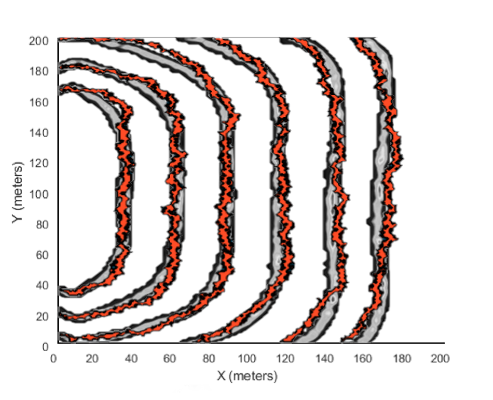
The team ran data from the Australian Grass Fire experiment through the WAFERS algorithm.
The predicted results mapped closely to the actual fire.
“The algorithm can also be utilized to provide a quick, yet rough, estimate of the spread of wildfire on on-going wildfires,” says Aleissa. “While not as accurate as the other option, with WAFERS, a simple over-head orthomosaic of the fire would be enough to run a rough simulation of the spread. It could provide an intermediate estimation of wildfire spread so fire fighting authorities could act earlier, before the situation escalates beyond control.”
Wildfires in 2020
The WAFERS team is working hard to be ready for the 2020 wildfire season. “We are hoping that by the end of the 2020 Spring semester, the team would have manufactured and assembled the proposed design on the Fullerton campus of the California State University, with the guidance of the Mechanical Engineering Department, the College of Engineering and Computer Science, and our Faculty Advisor Dr. Sagil James.” says Aleissa. If so, the 2020 wildfire season could be a lot shorter than predicted.
| Pix4D is proud to help support this project through the 2019 Climate Contest, and would like to thank the WAFERS team for their hard work. |