Pix4D climate contest
Mapping a better future
“The time for real climate action has come. Diversity in action is key and this contest shows that mapping technology can bring relevant solutions to complex problems.”
- Théo Milliez,Swiss Youth for Climate
It's time to take action on the climate crisis. Pix4D is proud to support people who are making a real difference.
The winners of the first ever Pix4D Climate Contest in 2019 demonstrated original ideas with real potential to slow the pace of climate change. That's not the only thing they had in common: each showed the potential of both mapping and new technology in a rapidly changing world.
The first ever Pix4D Climate Contest in 2019 awarded a total of $6,000 USD in cash, as well as access to Pix4D software, support and certification to empower changemakers to get their program off the ground.
We're proud to support them, and to share their work with you.

Meet the changemakers
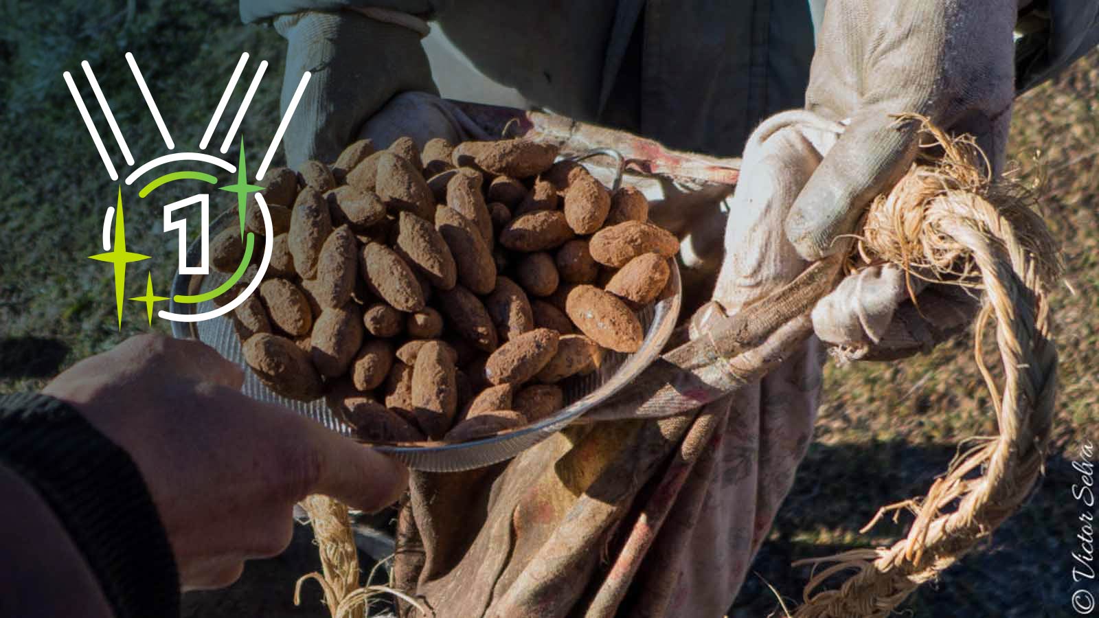
First place: Sowing 100,000 trees
Dronecoria focuses on affordable large scale restorations with UAV-based aerial sowings, dramatically reducing the cost of reforestation and carbon sequestration.
Read the full story
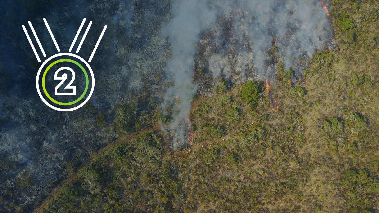
Second place: Protecting biodiversity and reducing CO2 emissions by predicting wildfires
By algorithmically examining thermal and RGB drone maps, the Wildfire Aversion by Forecast and Early Response System (W.A.F.E.R.S.) aims to predict and track the spread of wildfires, and ultimately prevent fires from breaking out. Wildfires are devastating to wildlife and biodiversity, and release massive amounts of CO2 into the atmosphere.
Read the full story
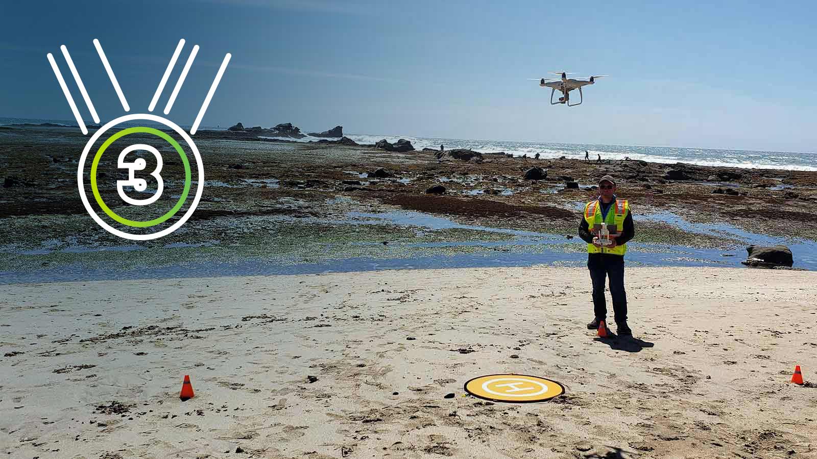
Third place: Fighting the Coastal Kelp Apocalypse
Kelp sequesters as much carbon as a rainforest - but it's rapidly dying off. By tracking the changes from one season to the next, this team aims to preserve selected local nearshore kelp populations and facilitate recovery by tracking restoration efforts and measuring which interventions result in the biggest improvement to kelp health.
Full story coming soon
More details and comments from the judges.
How drones are being used to help the environment
Free ebook: Climate Revolution: Drones, photogrammetry and crisis
Discover how drone operators, GIS experts and scientists are currently using drones and mapping to reduce environmental impact, plan resilience to climate change, track the changing planet and finally mitigate the effects of the climate crisis.