UAV rapid mapping after the Paneveggio forest windstorm
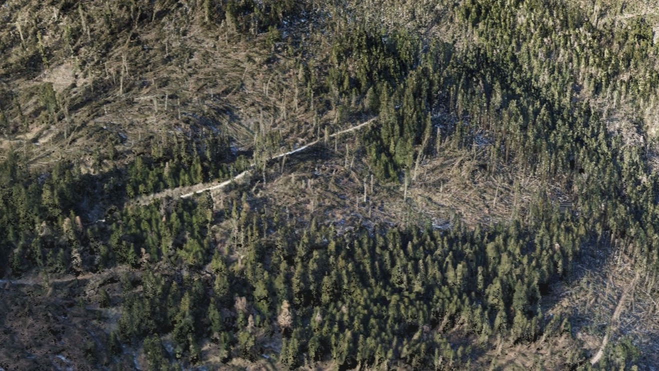
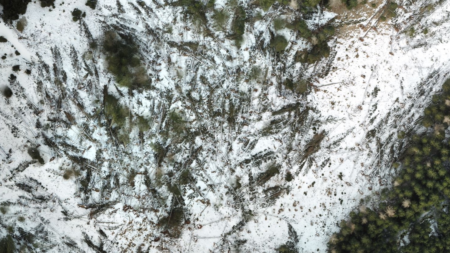
In October 2018, a windstorm destroyed large parts of the Provincial Forest of Paneveggio in the North East of Italy. Winds of up to 217 kilometers per hour uprooted an estimated 8.5 million trees.
After a request from Agenzia provinciale per le Foreste demaniali (the agency for province-owned forest) first on the scene was Servizio Antincendi e Protezione Civile, a specialized group of the local firefighting department. The Servizio Antincendi e Protezione Civile team have a small fleet of UAVs and work with the local government to provide inspections, photogrammetric surveys and search and rescue.
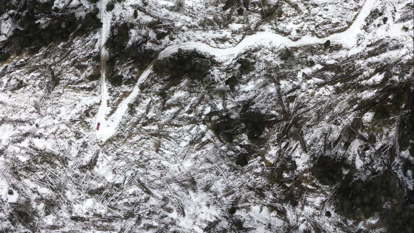
After the windstorm, they used rapid mapping with drones to provide a quantitative survey which allowed forestry management teams to evaluate the damage and assess the best course of action before winter's snows halted work.
Project details
| Location | Provincial Forest of Paneveggio, Italy |
| Team | Servizio Antincendi e Protezione Civile |
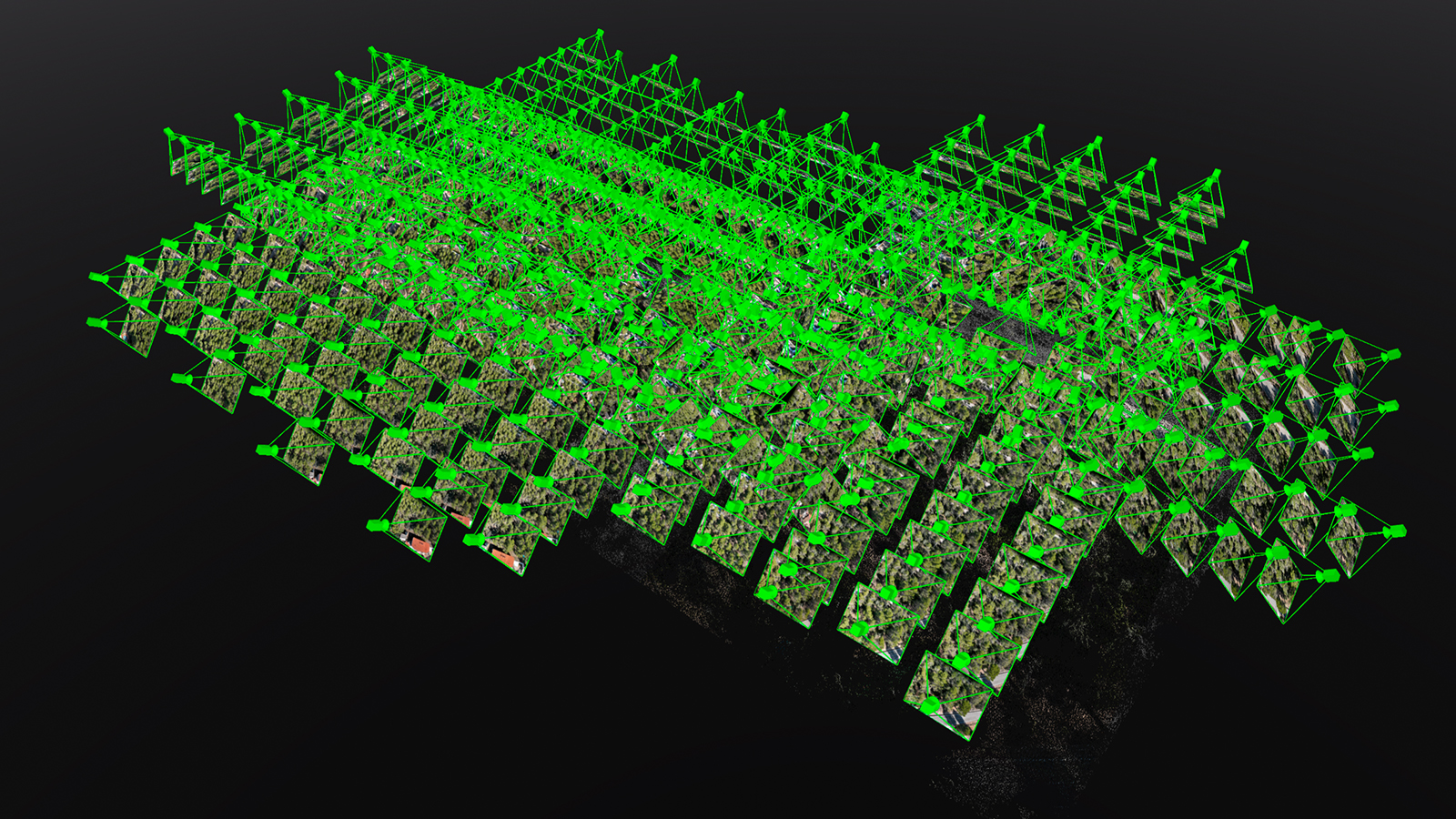
| Total area mapped | 9.45 km² |
| Hardware | DJI Inspire 2 DJI Zenmuse X4S DJI Mavic PRO |
| Total images | 3,942 |
| Software | Pix4Dcapture Pix4Dmapper |
| Time from flight to delivery | Rapid mapping results were delivered within two hours. The entire project was completed in three weeks. |
| Average GSD | 5.6cm |
A forest of violins
The Paneveggio forest is special. The unique meteorological conditions of the Unesco World Heritage site produce a wood with resonance. Light and elastic resonance wood is used to create fine instruments such as Stradivarius violins.
The forest is carefully tended according to traditional practises. Spruce trees are harvested under a waning Autumn moon, and the best quality wood is still processed by hand. Before the windstorm devastated the region, some 6,000 cubic meters of wood were felled each year, with only 20 to 50 cubic meters being suitable for resonance wood. A cubic meter of resonance wood can sell for as much as €15,000: 136 times more than the same volume of ‘normal’ spruce.
To salvage some of the precious wood, and begin the years-long clean up effort, the team needed to provide surveys to the forestry management - and fast.
A Servizio Antincendi e Protezione Civile team member explained: “Near the forestry management agencies headquarters, for example, there is more than one square kilometer which is completely without trees. Every single tree has fallen down.”

Situational awareness in minutes
While the affected area was very large, the team concentrated on just 11 badly-affected areas and some parts of a nearby provincial forest in the Cadino Valley. The surveyed areas covered less than 10 square kilometers, yet were representative of the damage in the wider forests.
“The forestry management service understood how many trees were in each area. By collecting images of damaged trees in a small area, they could extrapolate this data across the forest and estimate the total damage,” says a team member.
To stay within Italy’s laws surrounding drone flight, the team found the highest possible point for takeoff, and either plotted a flight path in the free Pix4Dcapture app, or flew manually, a skill perfected with search and rescue missions.
To ensure the forestry service could act on the images as quickly as possible, they were uploaded directly to Pix4Dcloud, which automatically creates a 3D model.
By uploading images directly to Pix4Dcloud, the team were able to deliver results within two hours of take off. “Pix4D processes very quickly, particularly with the rapid option selected,” explains a team member. “You can have situational awareness only a few minutes after the flight.”
The forestry management personnel were able to view the results directly in their browser. “In particular the 3D area calculation is a very important feature for mountain areas.”
Counting the cost
Within weeks of the windstorm, the forest management service had all the information they need to estimate the damage and begin the years-long project of forest recovery. Throughout Northern Italy, the windstorm caused more than two billion euros worth of damage.
Happily, the forestry staff who manage the Paneveggio Forest estimate that around 70% of the timber felled by the wind can be recovered.
Of the recovered timber, around 40% is good quality wood for carpentry use, and another 40% will be used by the packaging industry. A further 15% will be used as biomass for heating. Only around 1-2% of the recovered wood will be used to construct musical instruments.